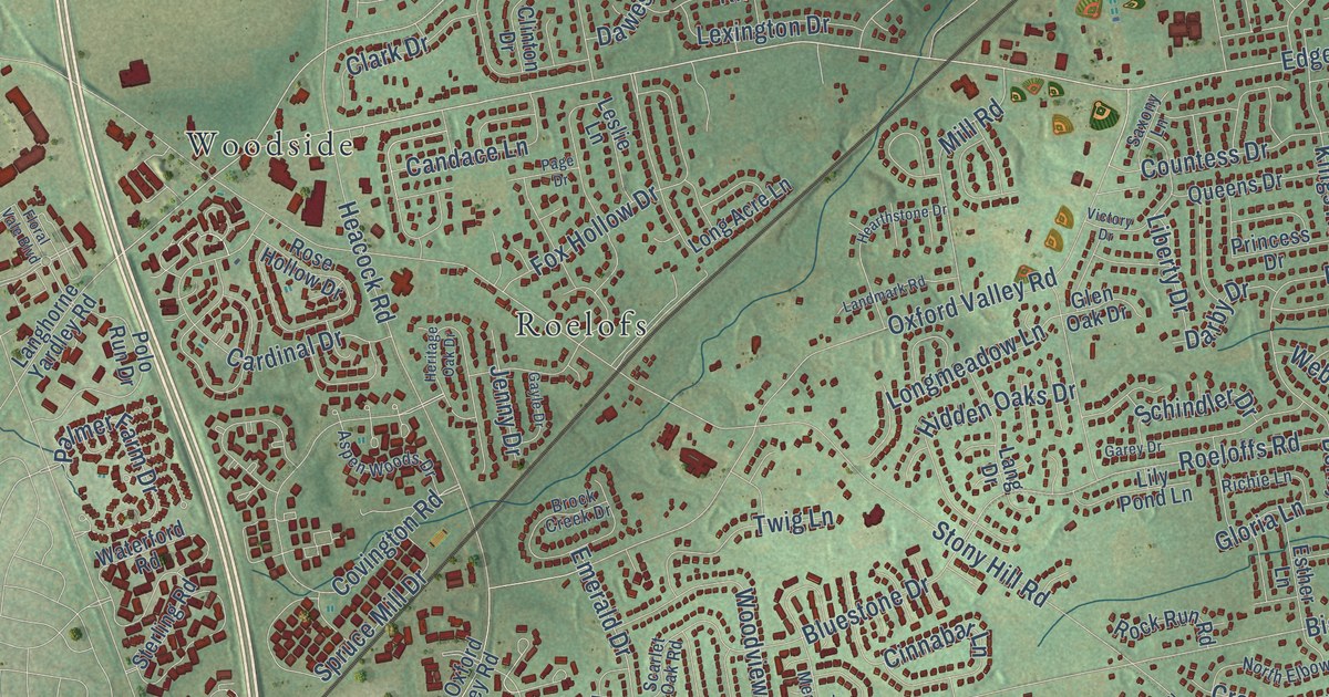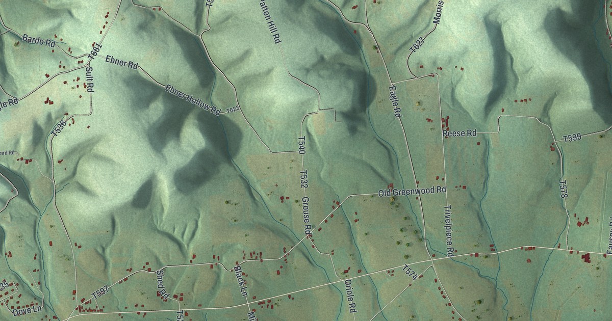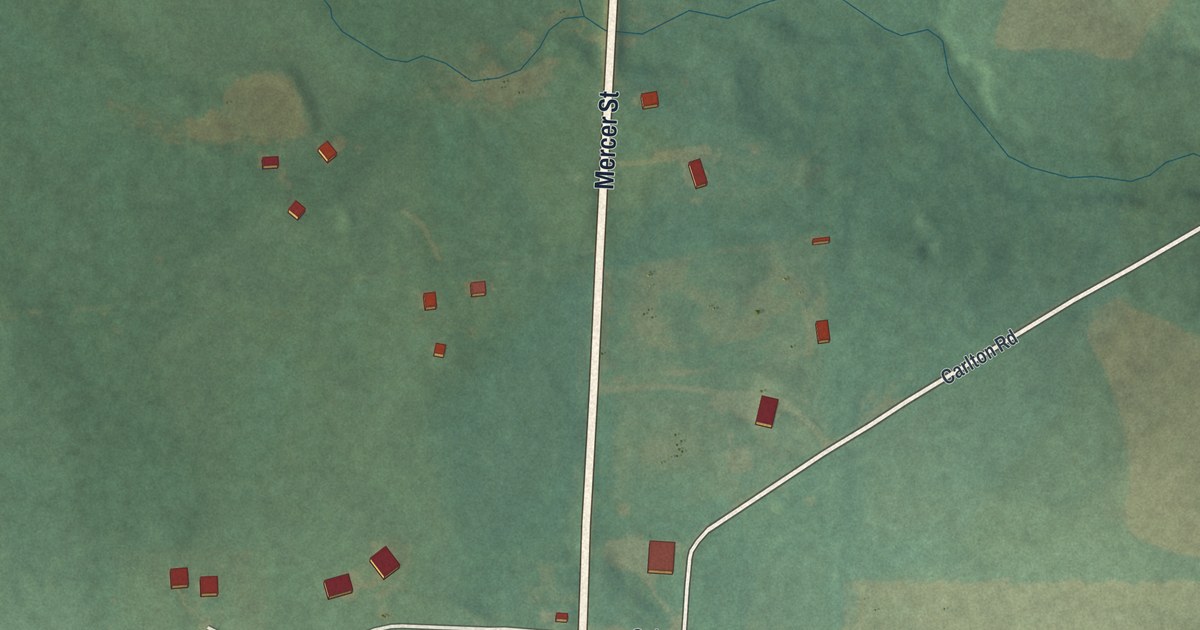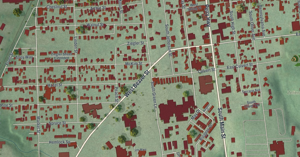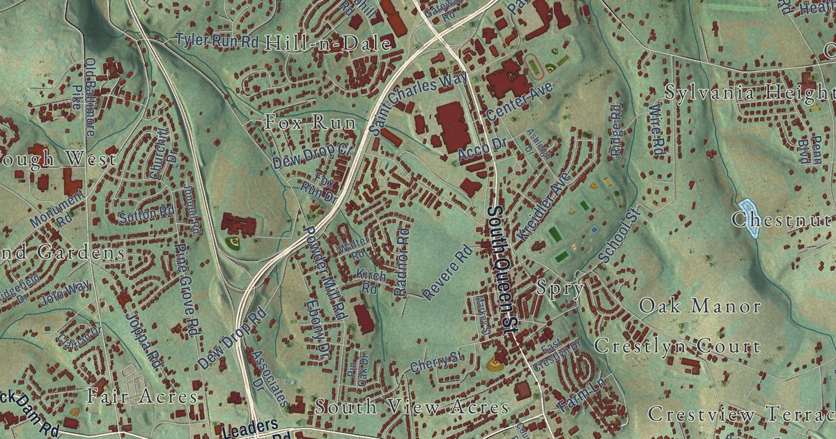
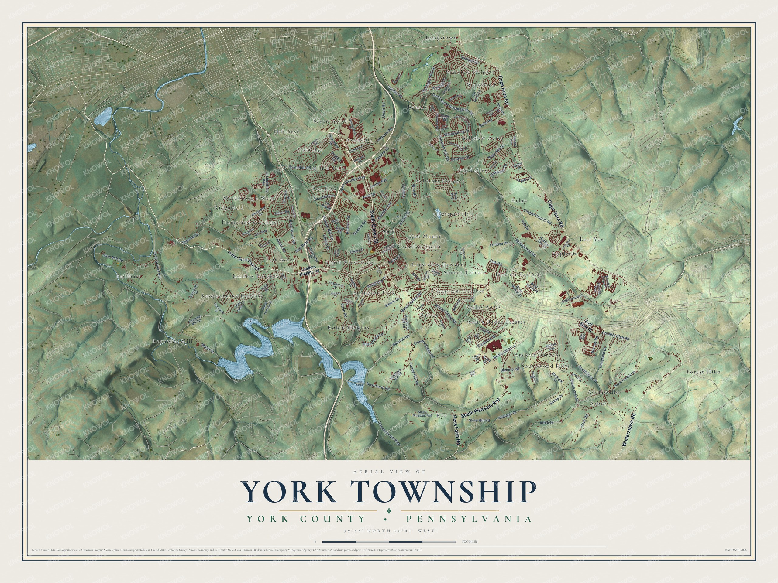
This beautifully detailed map of York Township, Pennsylvania was created in 2026 using aerial imagery combined with modern topographical, census, street and landmark data. It’s a one-of-a-kind view of York Township that combines accurate data with a vintage aesthetic. The map shows every building in its true location, many of the roads carry their names, and the shaded topographic relief shows the shape of the land.
Explore an aerial view of York Township, Pennsylvania
On the map you’ll find Adamsville, Amleyn Gardens, Appleton, Arbor, Arlington Park, Avondale, Bellview Acres, Benroy, Brillhart, Brook Hill, Brook Hill South, Chestnut Hill, and more. If you look closely you can even find your house accurately drawn in its correct location. Zoom in on the preview to look for yours.
Take a closer look at the York Township map
Street and place names on the York Township, Pennsylvania map
These names are printed on the map of York Township, Pennsylvania.
Places: Spry, Longstown, Reynolds Mill, Forest Hills, Rye, Ore Valley, Fair Acres, Amleyn Gardens, Denton Terrace, Seven Acres, Arlington Park, East Yoe, Adamsville, Bellview Acres, Marborough West, Oakridge, Susquehanna Heights, Brillhart, Robin Heights, Benroy, Chestnut Hill, Sunset Terrace, Ridgefield, Waterford, Clearview Heights, Southwood Hills, South Ridge Estates, Sylvania Heights, Hill-n-Dale, Leaders Heights, Relay, South View Acres, Homeland Gardens, Avondale, Dalvue, Crestview Terrace, Dallas Acres, Appleton, Oak Manor, Arbor, Hillcrest, Crestlyn Court, Starview Heights and Fox Run.
Streets and roads: South Queen Street, Hess Farm Road, Winterstown Road, Cape Horn Road, South Pleasant Avenue, Springwood Road, South Park Street, Tyler Run Road, Ironstone Hill Way, Sparton Road, Camp Betty Washington Road, Honey Valley Road.
More street names, A to Z
Acco Drive, Alana Drive, Aldinger Drive, Allegheny Drive, Alperton Drive, Annette Drive, Arbor Drive, Ark Drive, Ashgrove Lane, Ashleigh Drive, Aspen Lane, Associates Drive, Belle Road, Belmar Drive, Blymire Road, Brant Drive, Burrow Road, Center Avenue, Chambers Road, Chancellor Road, Chapel Church Road, Cherry Street, Chestnut Hill Road, Chestnut Run Road, Churchill Drive, Clairian Drive, Connolly Drive, Country Club Road, Course Road, Coventry Road, Croll School Road, Dairyland Drive, Dallas Drive, Days Mill Road, Deer Chase Lane, Dew Drop Court, Dew Drop Road, Donna Lane, Dustin Road, East Crestlyn Drive, East Locust Street, East Main Street, Ebony Drive, Fairway Drive, Farm Lane, Ferree Hill Road, Fox Run Drive, Frederick Drive, Fruitlyn Drive, Furlong Way, Gary Drive, Gateway Road, Glen Avenue, Green Valley Road, Haines Road, Heather Drive, Heather Glen Drive, Heritage Hills Drive, Hess Farm Drive, Holyoke Drive, Horn Road, Hunt Club Drive, Imperial Drive, Indian Rock Dam Road, Ironstone Hill Road, Iron Stone Hill Road, Jolo Way, Jonquil Road, Joppa Road, Keller Drive, Kent Drive, Kinross Avenue, Kirch Road, Knobhill Road, Kreidler Avenue, Leaders Heights Road, Lioners Creek Road, Lions Drive, Lombard Road, Markey Street, McDowell Drive, McKinley Drive, Meadow Court, Meadow Cross Way, Mellinger Drive, Melrie Drive, Monument Road, Natalie Drive, New School Lane, Nightlight Drive, Nollyn Drive, North Walnut Street, Oak Road, Oakwood Drive, Old Baltimore Pike, Old Dutch Lane, Overlook Drive, Overlook Street, Owen Road, Pauline Drive, Penn Boulevard, Pine Grove Road, Pine View Lane, Pin Oak Drive, Powder Mill Road, Queenswood Drive, Radnor Road, Revere Road, Reynolds Mill Road, Ridgefield Drive, Ridgelyn Drive, Ridge Road, Rosslare Road, Rye Road, Sage Hill Drive, Saint Charles Way, Sandra Avenue, School Street, Scott Road, Shasta Drive, Shawna Avenue, South Duke Street, South Franklin Street, South George Street, Stine Hill Road, Sunlight Drive, Sutton Road, Troy Road, Tuscarora Drive, Valley Drive, Victoria Road, Vireo Road, Walter Road, Waters Road, Water Street, West Fourth Street, Wilson Avenue, Windrush Drive, Winners Circle Drive, Wire Road, Woodspring Drive, Wren Terrace, Yoe Drive.
See the York Township, Pennsylvania map on a wall
The York Township, York County map as an 18 x 24 inch print in a black frame.

This beautifully detailed map of York Township makes an attractive addition to your office, library, or den, and it can even be used to teach children the geography and history of the area. It also makes a great gift for anyone who grew up in York Township or moved away. When you’re done exploring, click here to get your copy of the York Township map.