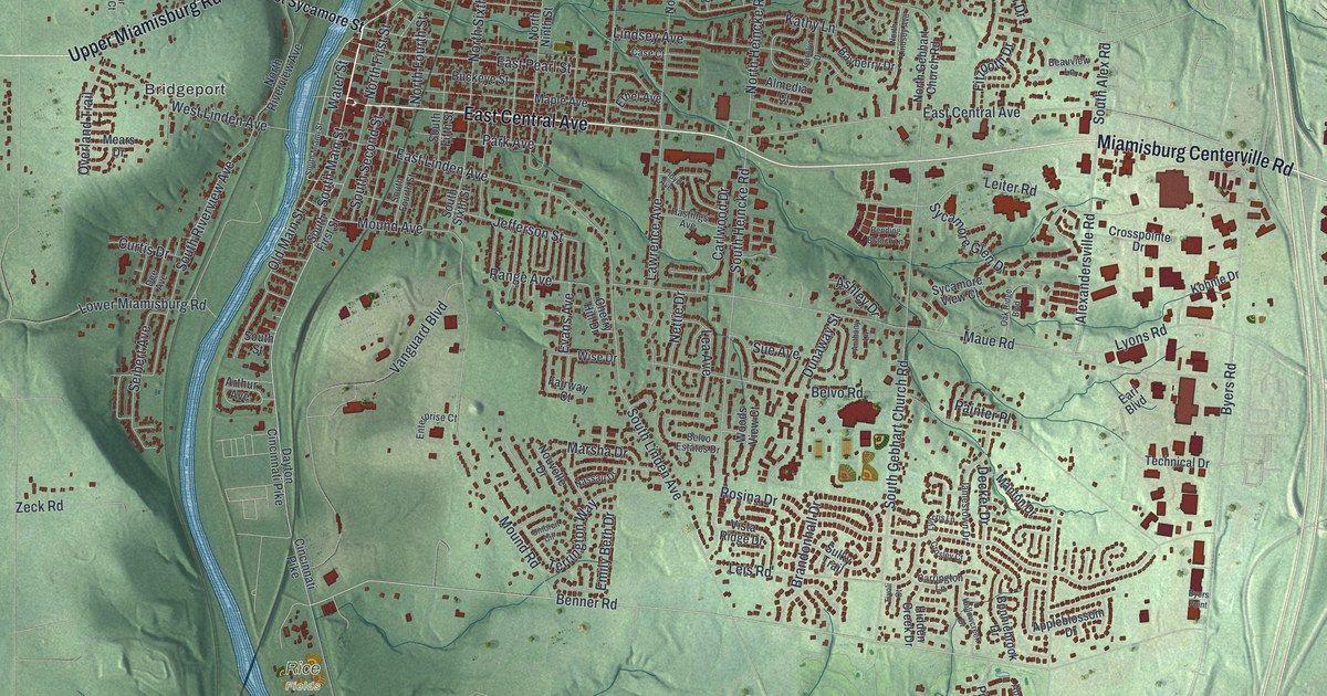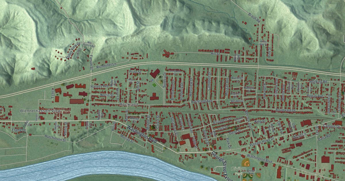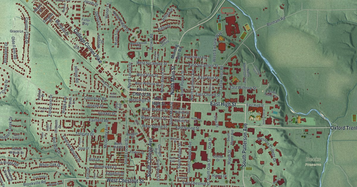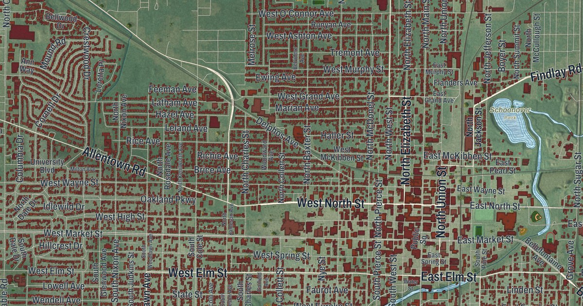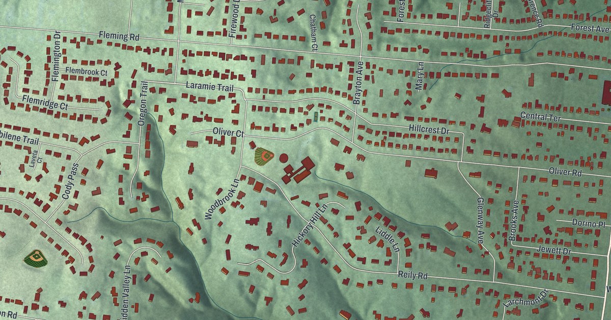
If you grew up in Wyoming, or you still have family on one of the hilly streets off Springfield Pike, this map is for you. It's a modern aerial view of Wyoming in Hamilton County, Ohio, made from modern data and given a vintage look. Near Springfield Pike, the streets sit close together in a tight grid. To the west, curving streets climb into the hills around Compton Woods and Hill Top Acres. A thin blue creek winds down the right edge, and the Wyoming Golf Club sits in the green hills near the bottom.
Robert Reily founded Wyoming in 1861
On this map you'll find Springfield Pike, Vine Street, Wyoming Avenue, Burns Avenue, Reily Road, Oliver Road, Mount Pleasant Avenue, Stearns Avenue, Compton Road, Fleming Road, Oak Park, Park Place, Compton Woods, Hill Top Acres, Wyoming Golf Club, and more. Each red shape is a building, so zoom in on the preview and look for yours.
Wyoming began in 1861. That year Robert Reily founded the village, says a state historical marker at the Wyoming branch library on Springfield Pike. Reily was born on June 1, 1820. His parents were John and Nancy Hunter Reily of Butler County. In the Civil War, he served with the 75th Ohio Volunteer Infantry. He rose from major to colonel. He was killed in action at Chancellorsville, Virginia, on May 2, 1863. That was less than two years after he started the village. His house on Liddle Lane is listed on the National Register. Look for Liddle Lane and Reily Road on the map.
The Stearns family and the Stearns and Foster Company
George S. Stearns was one of Wyoming's founding fathers. With Seth Foster, he started the Stearns and Foster Company. The family owned it for 139 years. In 1911, it was one of the first companies to join what's now called workers' compensation. In 1914, it gave its workers free life insurance. In the great flood of 1937, it gave mattresses and drinking water to people nearby. During World War II, nearly 80% of its work went to the war effort. The Stearns family also served on town boards. They helped make Wyoming's first church, library and high school possible, as an Ohio historical marker tells it. That marker stands in a small park where Springfield Pike meets Linden Drive. Stearns Avenue is on the map too.
From Springfield Pike to Compton Woods
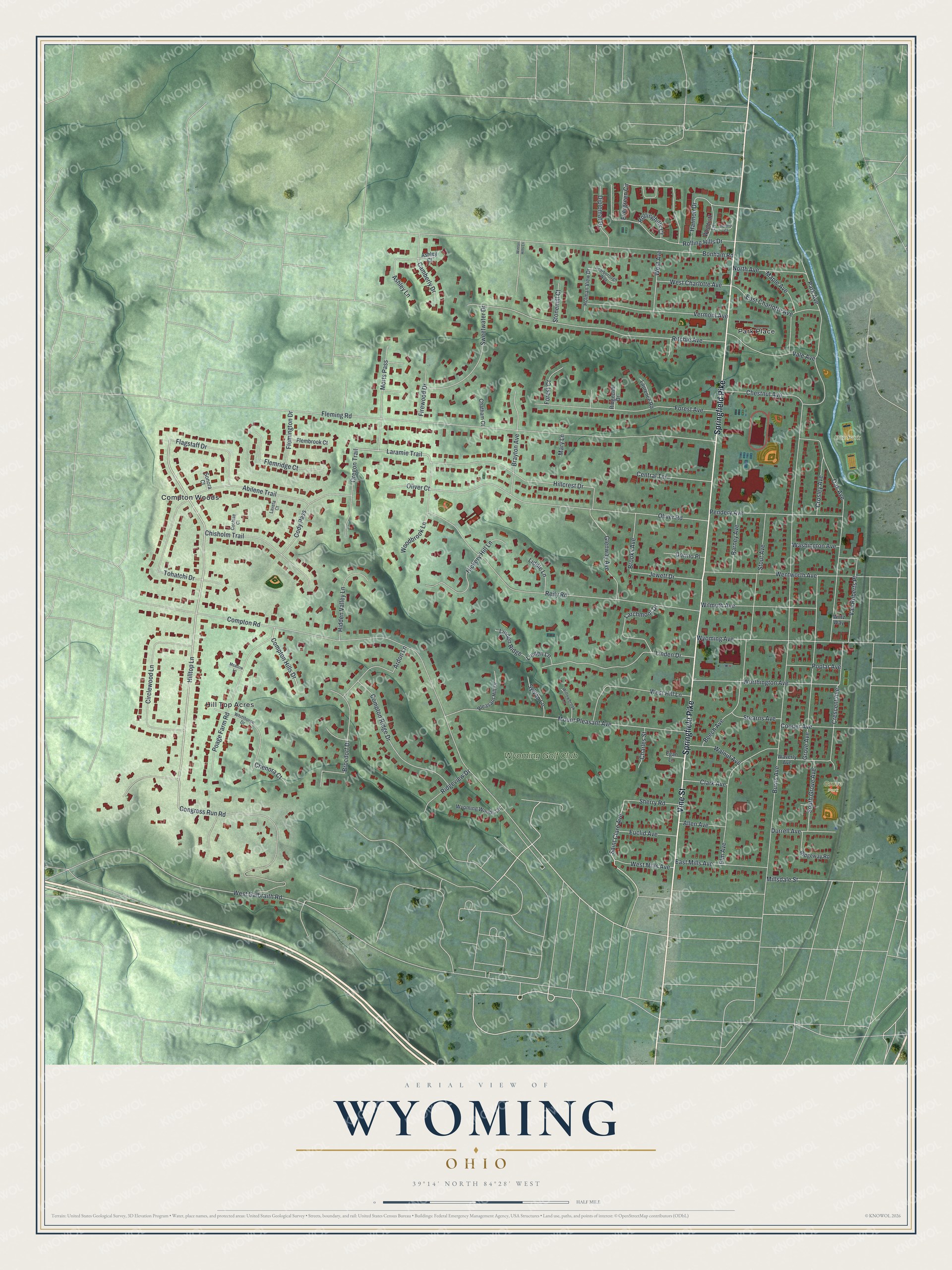
Created by KNOWOL in 2026, this print shows Wyoming's hills in soft green shading, with buildings as small red shapes and streets as fine white lines. The title panel reads Aerial View of Wyoming, Ohio, with the coordinates 39°14' North 84°28' West.
It fits well in a living room, a front hall or a home office. It's a good gift for someone who grew up off Springfield Pike and moved away, or for a family that just bought a house near Oak Park. Open the preview and find your street. See sizes and frames for the Wyoming map.