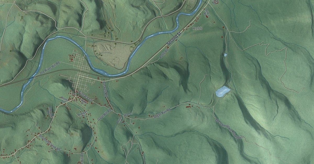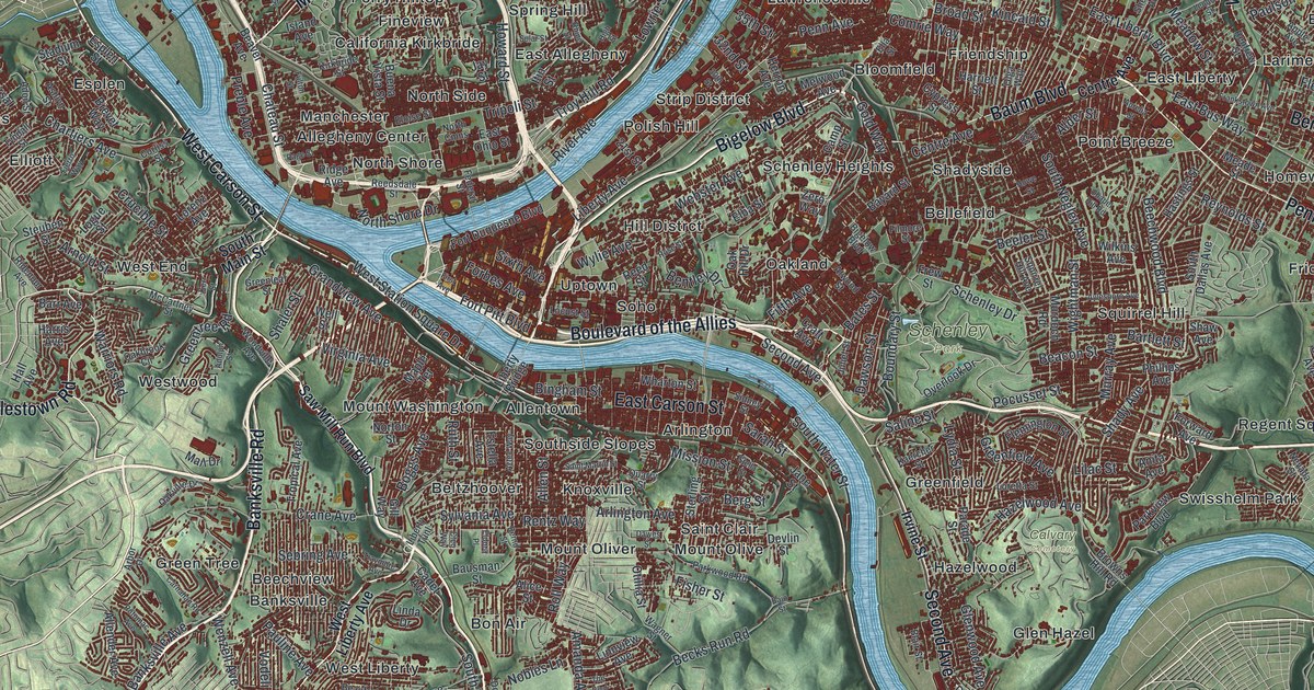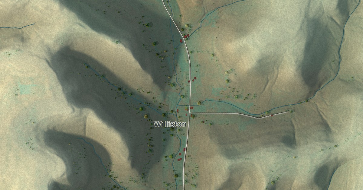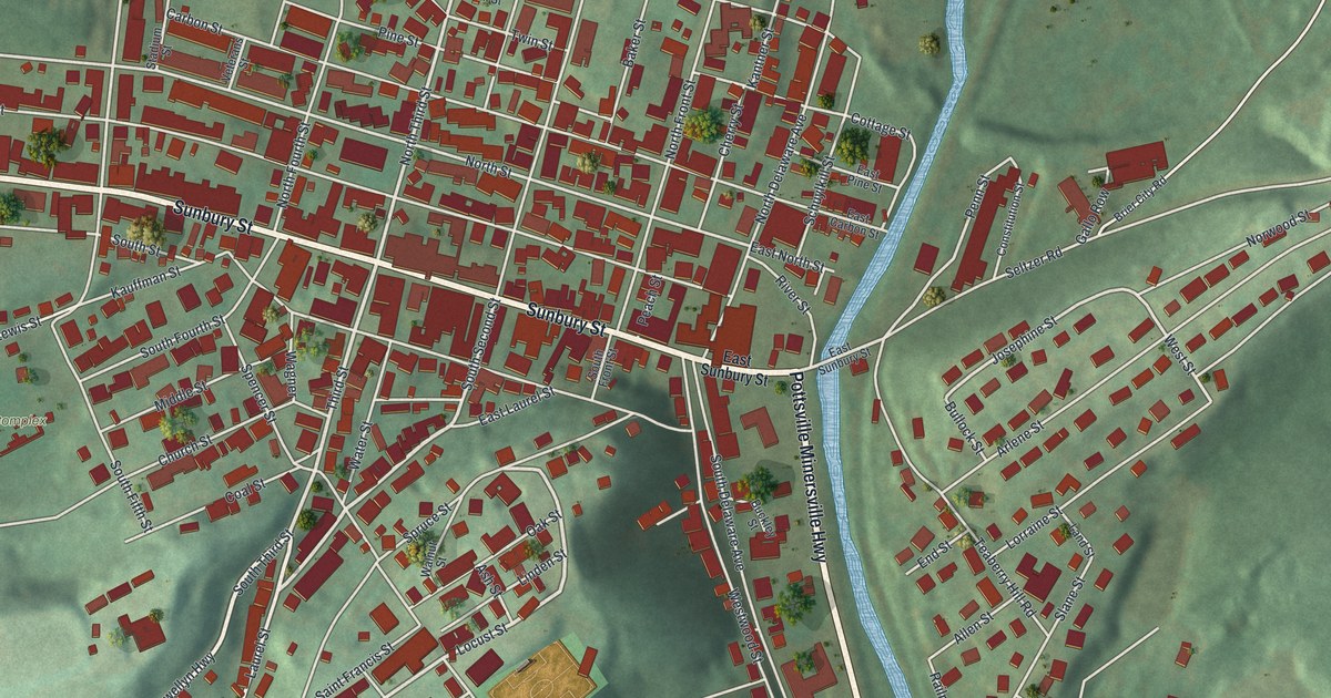
If you grew up in Minersville, or your family still has a house off Sunbury Street, this map was made with you in mind. It's a new aerial view of Minersville in Schuylkill County, Pennsylvania, built from modern data and given a vintage look. Sunbury Street runs across the middle, with the town's red buildings packed tight along it. A blue stream winds down the right side, and soft green hills rise all around.
Sunbury Street and the streets around it
On this map you'll find Sunbury Street, North Third Street, South Second Street, Church Street, Laurel Street, Spruce Street, Lewis Street, Carbon Street, Coal Street, Railroad Street, Saint Francis Street, Stadium Street, Pottsville Minersville Highway, the Recreational Complex, and more. Each red shape is a building, so zoom in on the preview and look for yours.
Why Minersville is named for its miners
The first settler here was Thomas Reed. He came in March 1793 and built a sawmill on the west branch of the Schuylkill, just below the mouth of Wolf Creek. The town itself came later. Titus Bennet laid out Minersville in 1830 on parts of two tracts of land. It became a borough on April 1, 1831. The name tells you who lived here. The History of Schuylkill County, printed in 1881, says the town got its name because a large part of its people worked in coal mining. Look closely and you'll find Coal Street and Carbon Street among the printed names.
A newspaper, the Miners' Journal, wrote about the young town in December 1830. Just over a year before, it said, the spot was still wild land. Now it was filling fast with new homes and people. A railroad ran along the stream to Schuylkill Haven, seven and a half miles away. The main street was Sunbury Street, and all the stores and public buildings stood on it. It had been the old Sunbury road, which led toward the rich valleys by the Susquehanna. Today Sunbury Street is still the long road through the middle of the map, and the buildings sit closest together along it.
Minersville from Sunbury Street to the hills
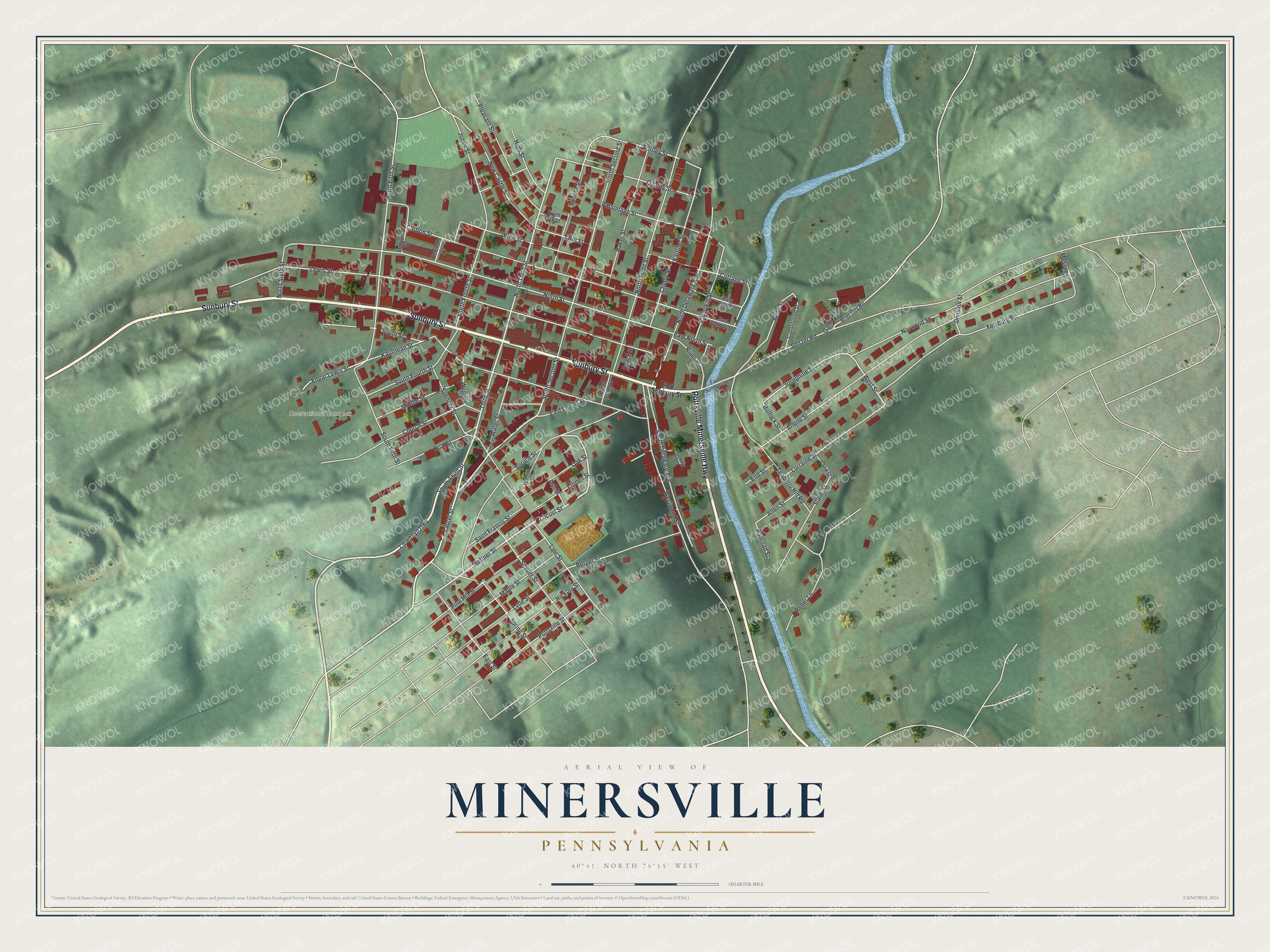
Created by KNOWOL in 2026. The print shows Minersville from above, with soft green hills, a winding blue stream and the town's buildings in deep red. The title panel reads "Aerial View of Minersville, Pennsylvania" with 40°41' North 76°15' West beneath it.
It fits a living room, a front hall or a home office. It makes a good gift for someone who shopped on Sunbury Street or played at the Recreational Complex and has since moved away. Open the preview and find your street. See sizes and frames for the Minersville map.