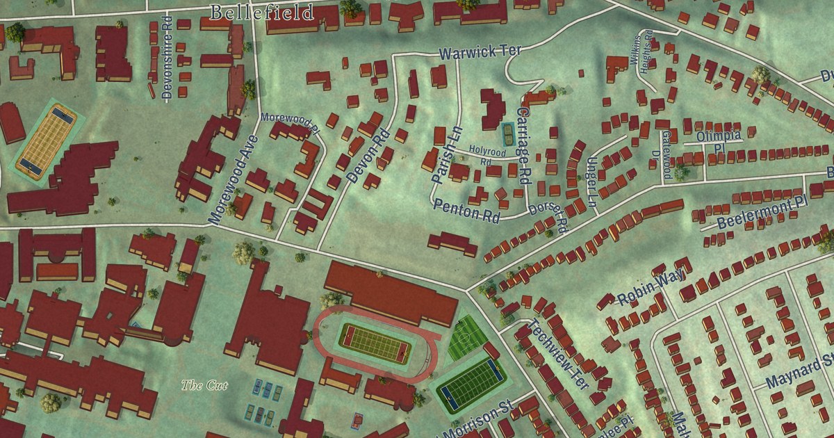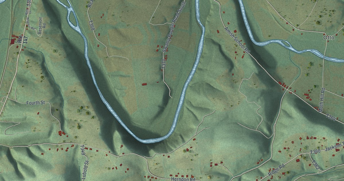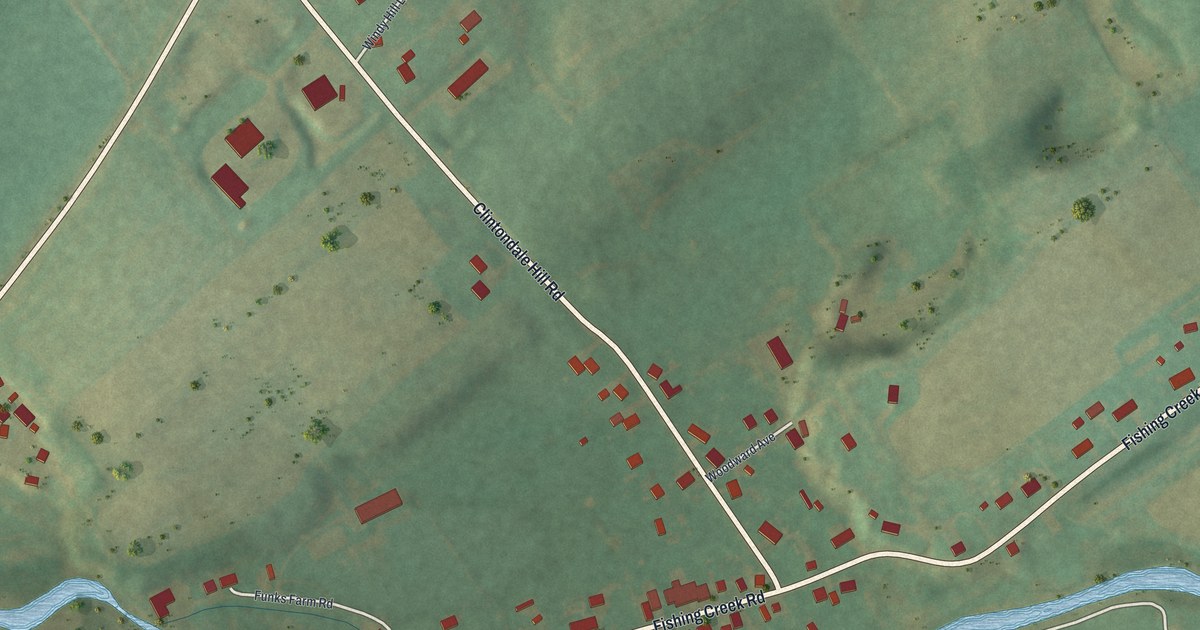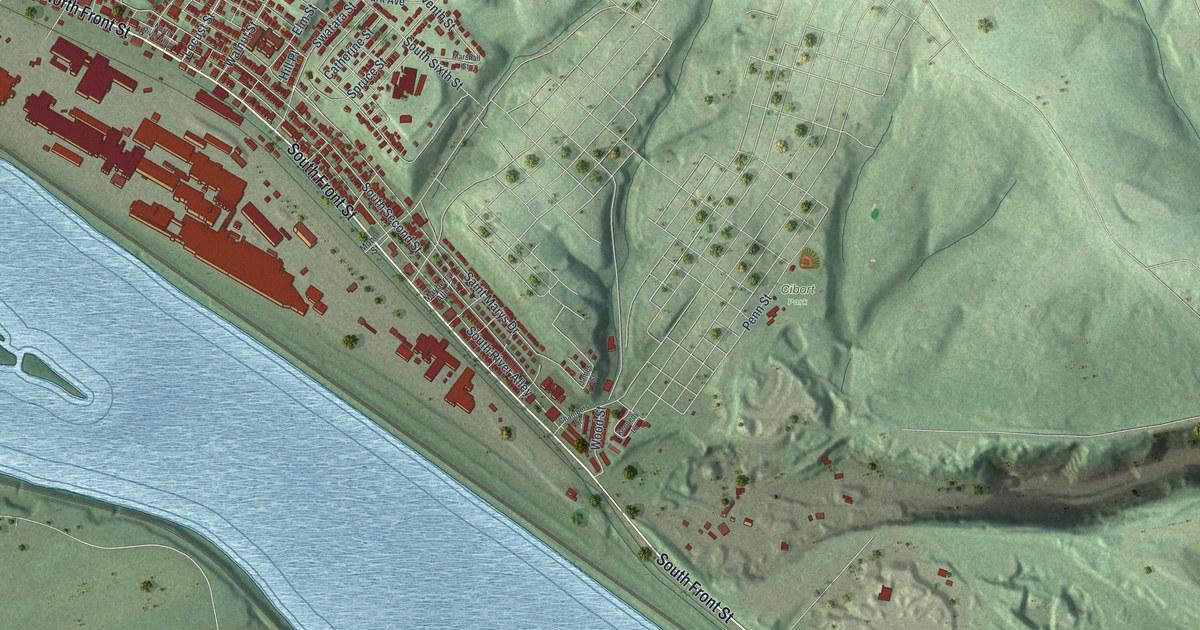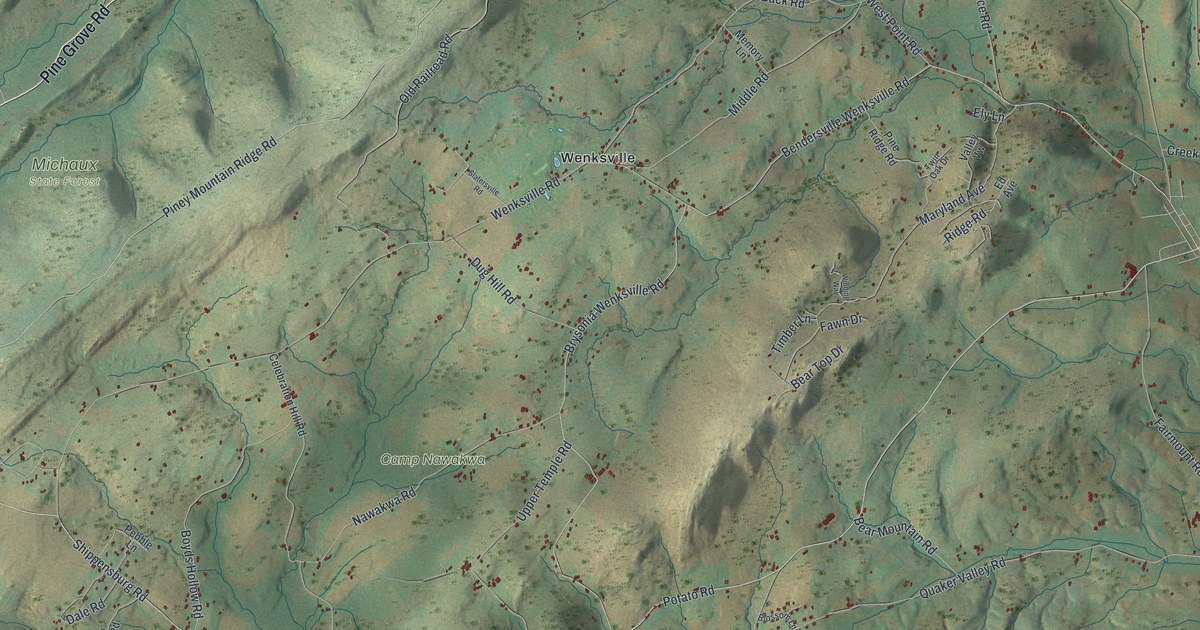
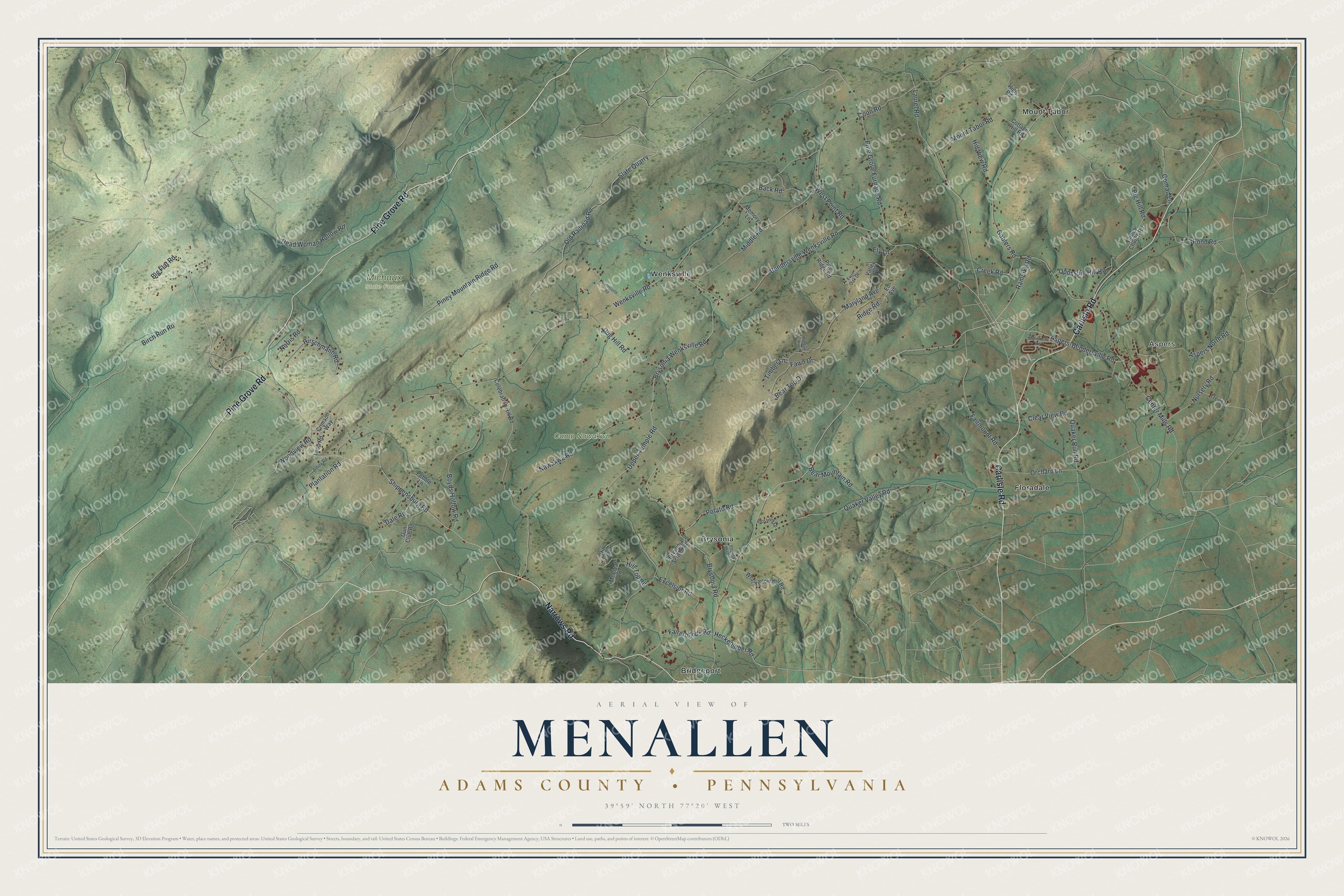
This beautifully detailed map of Menallen, Adams County, Pennsylvania was created in 2026 using aerial imagery combined with modern topographical, census, street and landmark data. It’s a one-of-a-kind view of Menallen that combines accurate data with a vintage aesthetic. The map shows every building in its true location, many of the roads carry their names, and the shaded topographic relief shows the shape of the land.
Explore an aerial view of Menallen, Adams County, Pennsylvania
On the map you’ll find Aspers, Camp Nawakwa, Michaux State Forest, Bridgeport, Brysonia, Floradale, Mount Tabor, and Wenksville, along with Carlisle Road, Pine Grove Road, Narrows Road, Shippensburg Road, and more. If you look closely you can even find your house accurately drawn in its correct location. Zoom in on the preview to look for yours.
Did you know this piece of Menallen, Adams County, Pennsylvania history?
The Society of Friends built a meeting house near the hamlet of Flora Dale around 1838. A brick meeting house replaced it in 1880. Flora Dale also had its own post office from 1861 to 1957. Two sisters, Anna and Alice Black, were its last postmasters.
Take a closer look at the Menallen, Adams County map
Street and place names on the Menallen, Adams County, Pennsylvania map
These names are printed on the map of Menallen, Adams County, Pennsylvania.
Places: Aspers, Camp Nawakwa, Michaux State Forest, Bridgeport, Brysonia, Floradale, Mount Tabor and Wenksville.
Streets and roads: Carlisle Road, Pine Grove Road, Narrows Road, Shippensburg Road, Potato Road, Piney Mountain Ridge Road, Bendersville Wenksville Road, Brysonia Wenksville Road, Aspers-Bendersville Road, Wenksville Road, Coon Road, Quaker Valley Road.
More street names, A to Z
Amity Road, Aspers North Road, Back Road, Bear Mountain Road, Bear Top Drive, Big Flat Road, Big Hill Road, Birch Run Road, Blossom Lane, Boyds Hollow Road, Brysonia Road, Brysonia School Road, Celebration Hill Road, Center Mills Road, Clear View Road, Clines Church Road, Conrad Lane, Cottage Hill Road, Creek Road, Crimson Way, Dale Road, Dead Woman Hollow Road, Dug Hill Road, Ed Avenue, Ely Lane, Excelsior Road, Fairgrounds Road, Fairmount Road, Fawn Drive, Gablers Road, Gun Club Road, Heckenluber Road, High Road, Hill Top Lane, Hill Top Road, Hill View Road, Hirschmann Road, Laurel Road, Loop Road, Maryland Avenue, McCleaf Lane, McIntosh Lane, Memory Lane, Middle Road, Mount Tabor Road, Nawakwa Road, Norris Road, Nursery Road, Old Railroad Road, Opossum Hill Road, Orchard Lane, Pebble Lane, Pine Grove Furnace Road, Pine Ridge Road, Plantation Road, Pleasant Dale Road, Pond Road, Quaker Run Road, Rampike Road, Ridge Road, Slate Quarry, Slatersville Road, Timber Lane, Tree Lane, Twin Oak Drive, Upper Temple Road, Valley Vw, West Point Road, West Yellow Hill Road, Winding Way, Woodview Road.
See the Menallen, Adams County, Pennsylvania map on a wall
The Menallen, Adams County map as an 18 x 24 inch print in a black frame.

This beautifully detailed map of Menallen, Adams County makes an attractive addition to your office, library, or den, and it can even be used to teach children the geography and history of the area. It also makes a great gift for anyone who grew up in Menallen or moved away. When you’re done exploring, click here to get your copy of the Menallen, Adams County map.