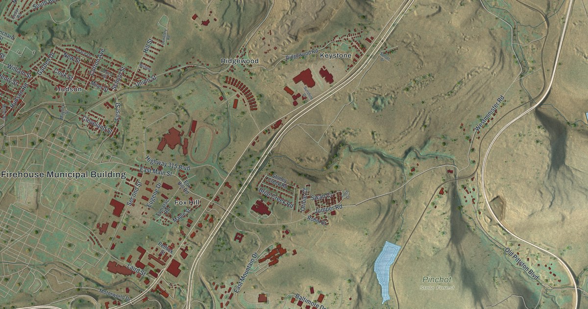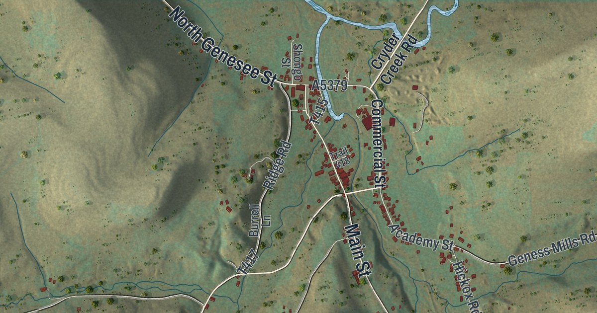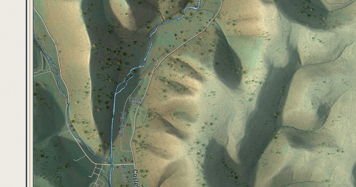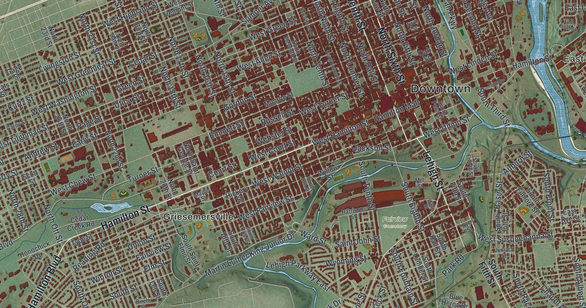
If you grew up walking Hamilton Street, or you still have family in East Allentown or Hilltown, this map was made with you in mind. It's a modern aerial view of Allentown in Lehigh County, Pennsylvania, drawn from modern data and given a vintage look. Red rooftops fill the middle of the print, with Downtown at the heart. Neighborhoods like Ritterville, Midway Manor, Mountainville and Cetronia spread out around it. A wide blue river curves down the right side, and green hills roll out to every edge.
Hamilton Street and the streets you know
On this map you'll find Hamilton Street, Hamilton Mall, Hamilton Boulevard, Union Boulevard, Lehigh Street, West Tilghman Street, Sumner Avenue, Mack Boulevard, North Cedar Crest Boulevard, Ironpigs Way, Trexler Memorial Park, Fairview Cemetery, Griesemersville, Waldheim Park, and more. Each red shape is a building, so zoom in on the preview and look for yours.
Where the Liberty Bell was hidden on Hamilton Street
Allentown's most famous story is about a bell. In 1777 the British took Philadelphia. The Continental Congress had the city's bells taken away so they couldn't be destroyed. The State House bell was brought here. From September 1777 to June 1778, it was hidden at Zion's Reformed Church. Back then it wasn't yet called the Liberty Bell. Abolitionists later turned it into a national symbol. The Liberty Bell Hiding Place marker stands at 622 West Hamilton Street. On the map, find Hamilton Street near the Downtown label, where the red rooftops are packed the closest.
The town was started in 1762 by William Allen, a colonial leader and judge. For its first years it had another name. Until 1834, people called it Northampton. It became a city in 1867, and for a long time its people worked in textiles and cement. Lehigh County was formed in 1812, and Allentown became the county seat. The Old Lehigh County Courthouse still stands at Fifth and Hamilton Streets, a short walk from where the bell was kept.
Allentown from Trexler Memorial Park to East Allentown
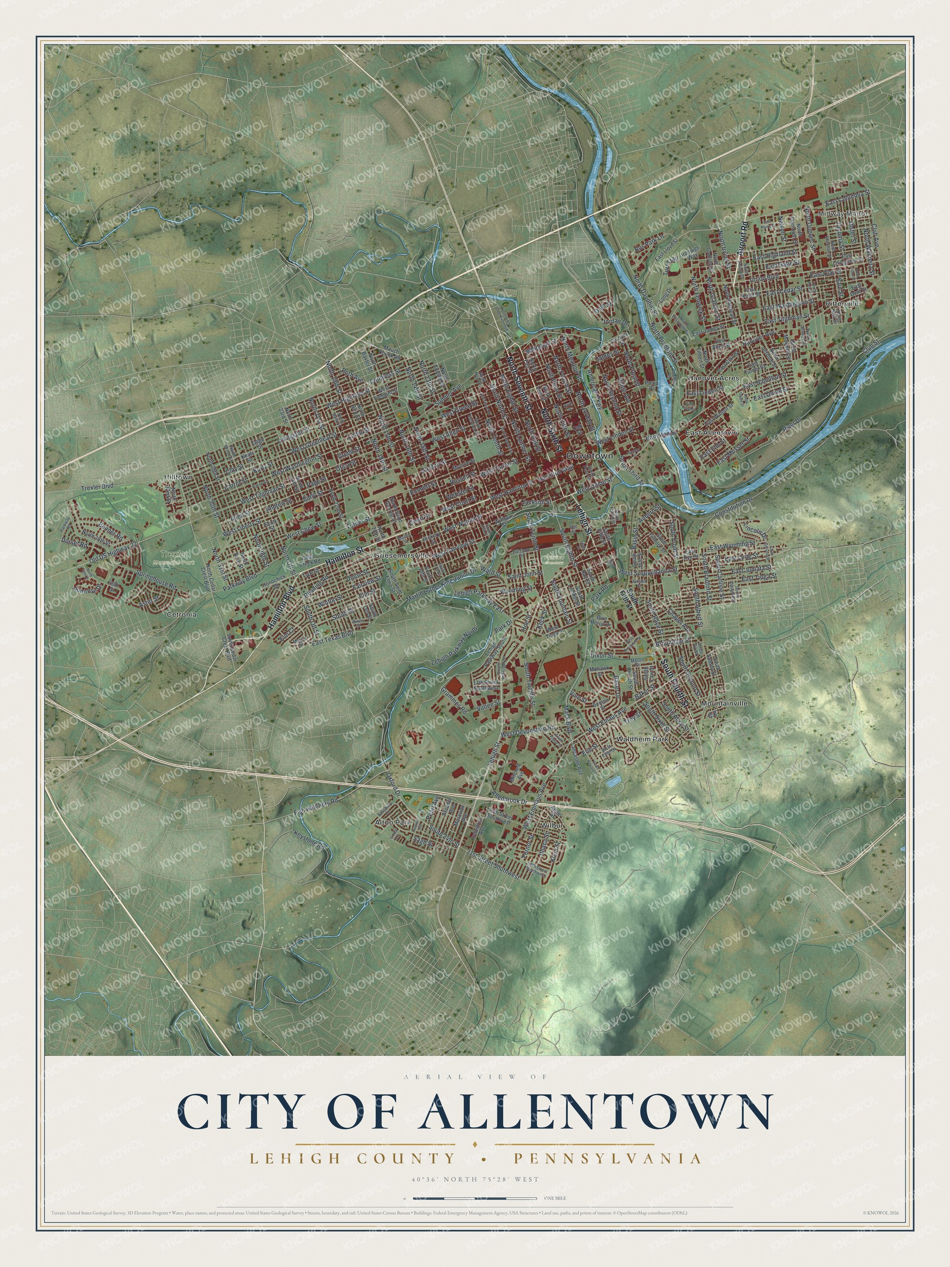
Created by KNOWOL in 2026, this print shows Allentown from above, with deep red buildings set on soft green hills and a blue river. The cream title panel at the bottom reads "Aerial View of City of Allentown," with "Lehigh County • Pennsylvania" and "40°36' North 75°28' West" printed below it.
It fits a living room, a home office or the hallway by the front door. It makes a good gift for someone who grew up near Trexler Memorial Park, or who moved away and still thinks about Hamilton Street. Open the preview and find the block you know best. See sizes and frames for the City of Allentown, Lehigh County map.