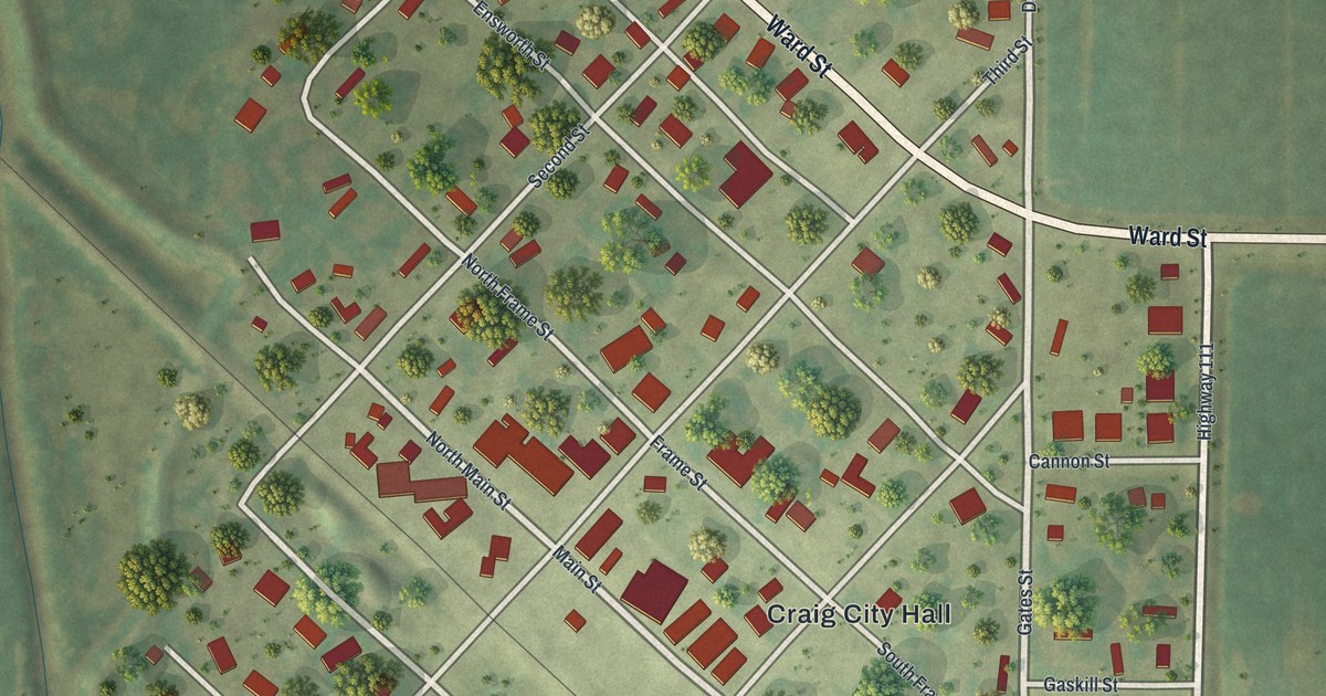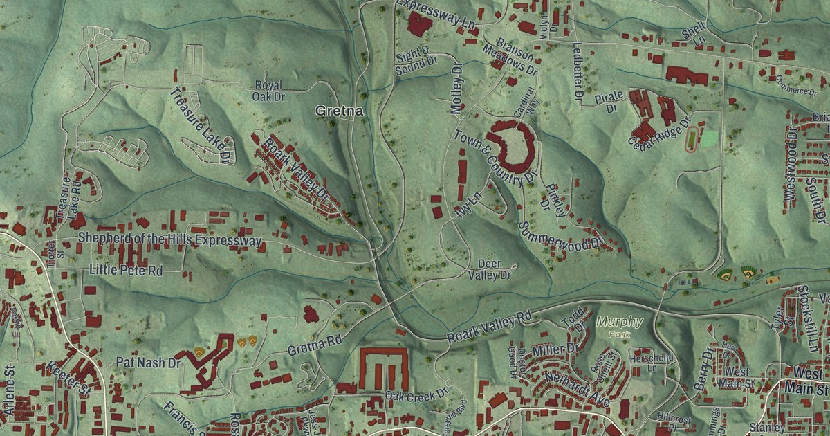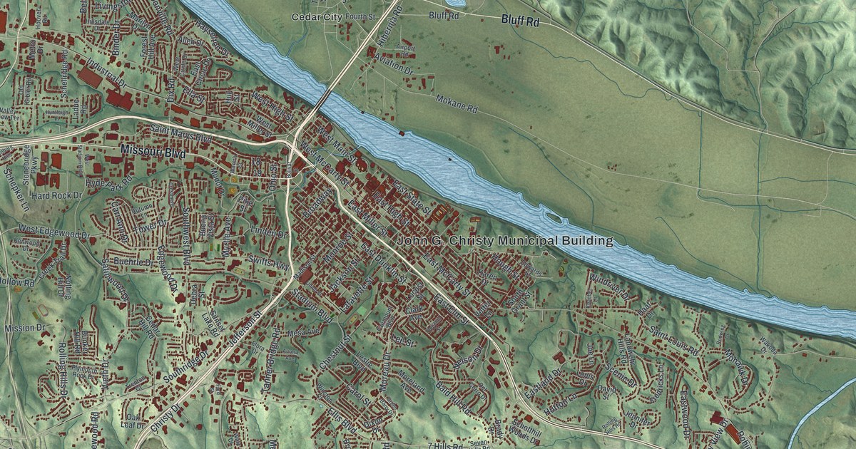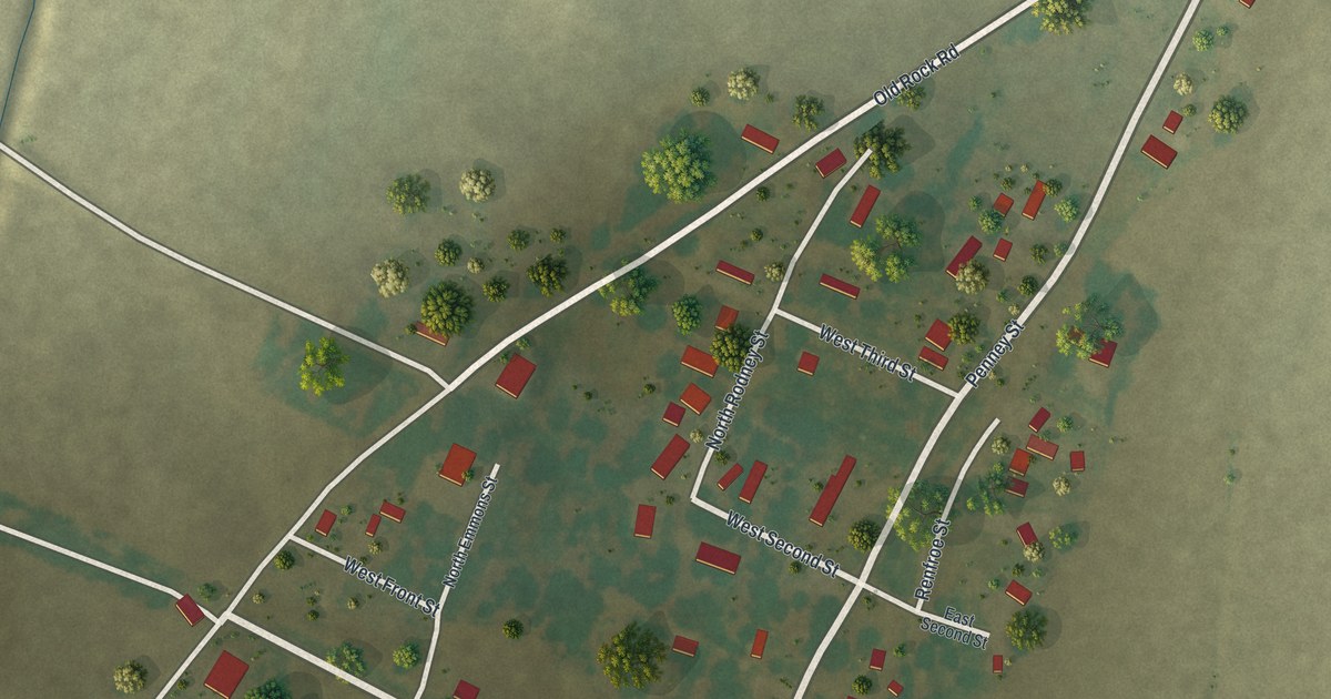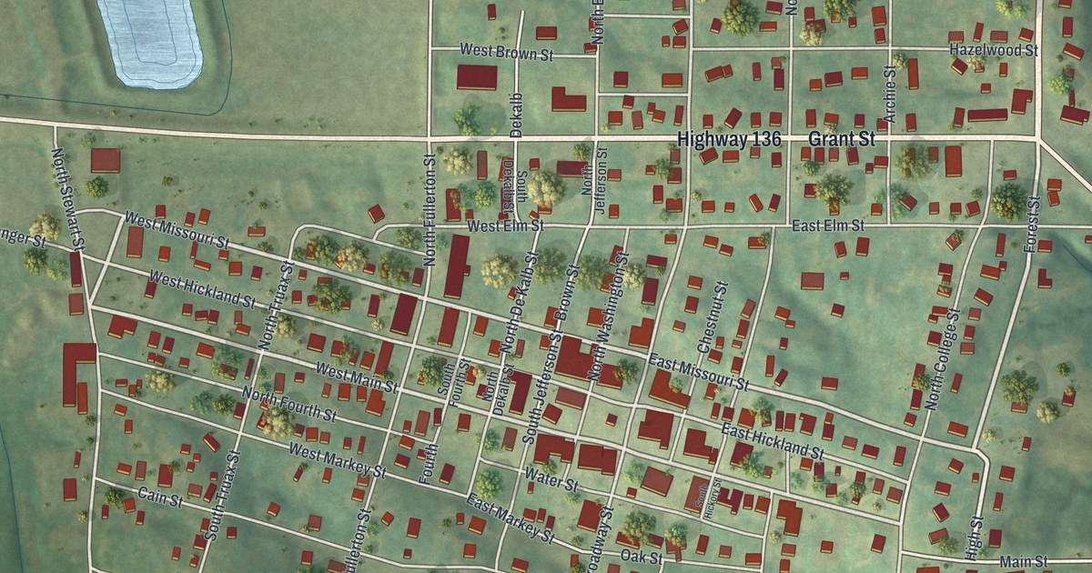
If you grew up in Princeton, or you still have family on Grant Street or Main Street, this map is a way to see the whole town at once. It's a modern aerial view of Princeton in Mercer County, Missouri, made from modern data and given a vintage feel. The streets fan out around Highway 136 and North College Street, with hundreds of small red buildings along them. Two long blue ponds sit in the upper left, and green hills roll out on every side.
Princeton and the long wait for the railroad
On this map you'll find Highway 136, Grant Street, Main Street, North College Street, East Missouri Street, West Missouri Street, East Hickland Street, North Broadway Street, Coleman Street, Water Street, Oak Street, Park Street, Hazelwood Street, Kentucky Street, Harmonica Road, and more. Each red shape is a building, so zoom in on the preview and look for yours.
For a long time, Princeton had to wait for the train. In those years, the town's trade stayed in a small area. According to a county history printed in 1888, Princeton was then farther from a railroad than any other town in Northern Missouri. When the railroad was finished, that changed. The same book says Princeton got a new push and kept growing in people and wealth from then on. Look at the lower right corner of the map. A thin, straight rail line cuts across the hills there on a long slant.
The Legion building on Grant Street
The Leo Ellis Post #22 American Legion Building stands at 804 Grant Street. It's listed on the National Register of Historic Places, and it was added in 1996. Grant Street is printed on the map where it meets Highway 136, near the middle of town.
A Princeton map for Grant Street and beyond
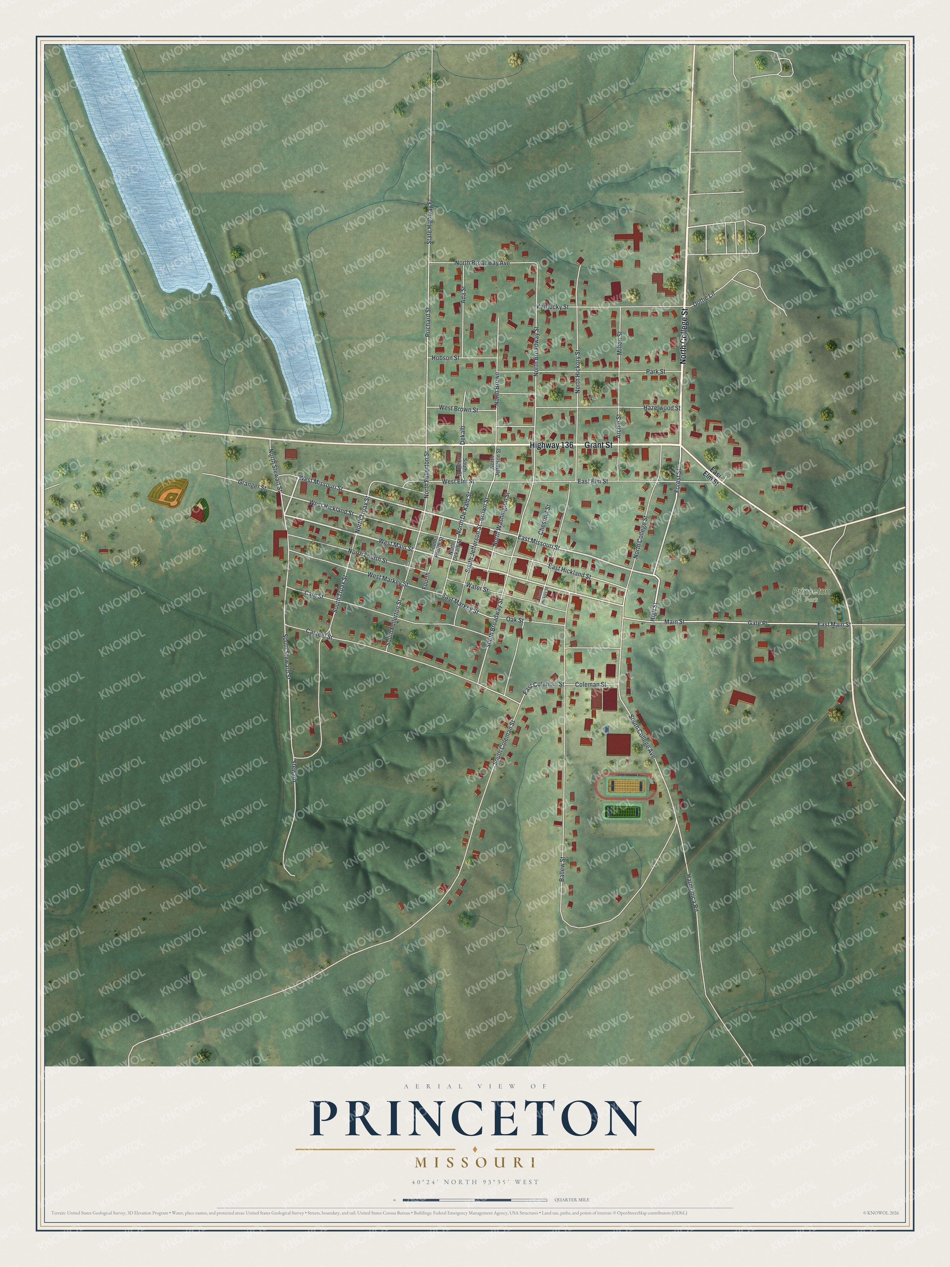
Created by KNOWOL in 2026, this print shows Princeton from above. Soft green hills are shaded to show the land, the buildings are small red shapes, and the ponds are pale blue. The title panel reads "Aerial View of Princeton, Missouri" with the line 40°24' North 93°35' West.
It fits a living room, a front hall, a den or an office. It's a good gift for someone who grew up near the Legion building on Grant Street, or for a family that moved away from Mercer County. Open the preview and find the streets you know. See sizes and frames for the Princeton map.