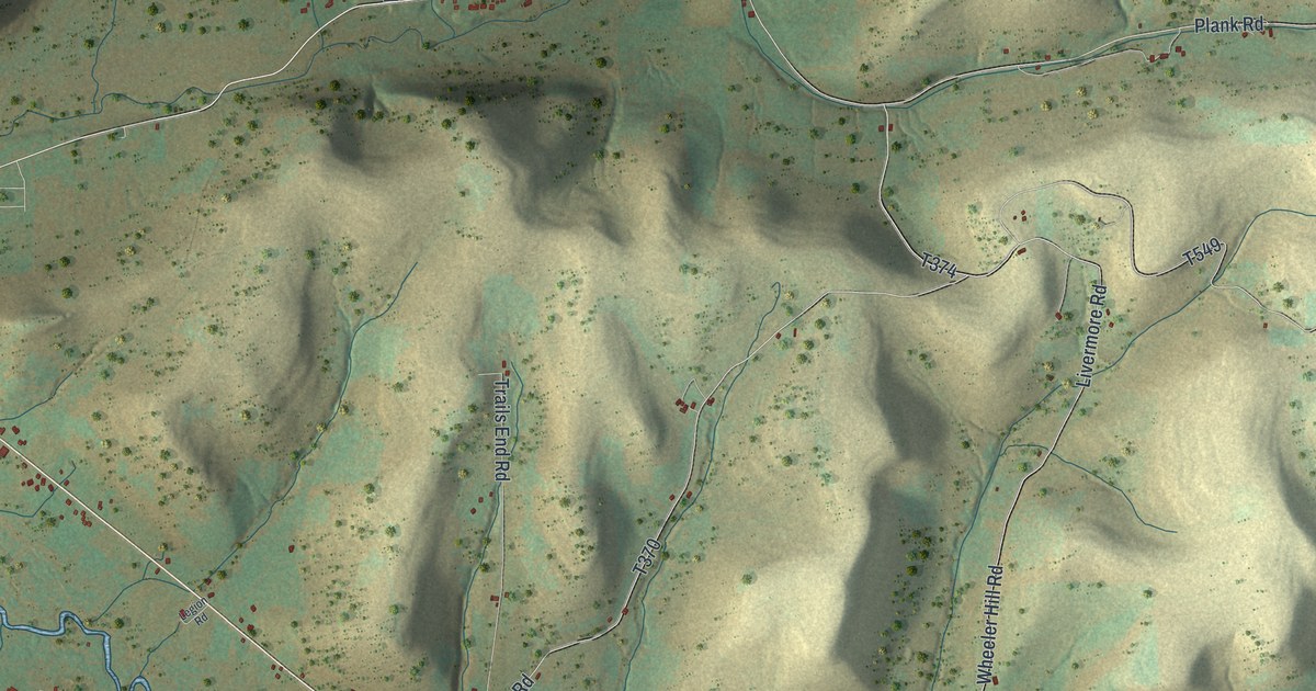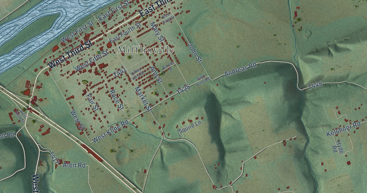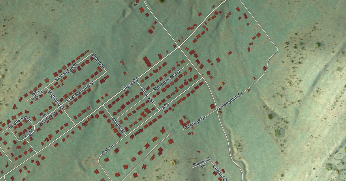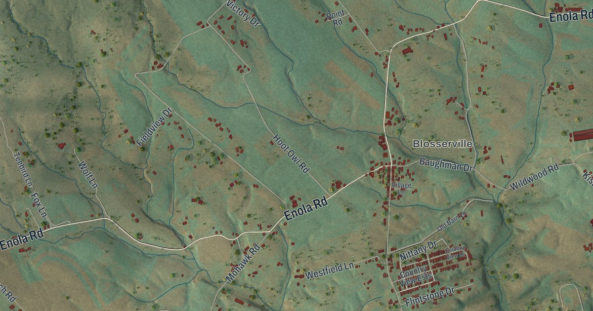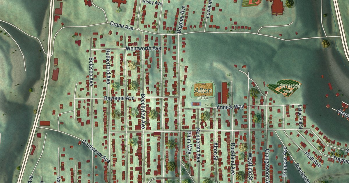
This beautifully detailed map of Beechview, Pennsylvania was created in 2026 using aerial imagery combined with modern topographical, census, street and landmark data. It’s a one-of-a-kind view of Beechview that combines accurate data with a vintage aesthetic. The map shows every building in its true location, many of the roads carry their names, and the shaded topographic relief shows the shape of the land.
Explore an aerial view of Beechview, Pennsylvania
On the map you’ll find Vanucci Park, Alton Park, Banksville, and South Busway, along with Banksville Road, Wenzell Avenue, Broadway Avenue, Dagmar Avenue, Sebring Avenue, Crane Avenue, Fallowfield Avenue, Belasco Avenue, and more. If you look closely you can even find your house accurately drawn in its correct location. Zoom in on the preview to look for yours.
Take a closer look at the Beechview map
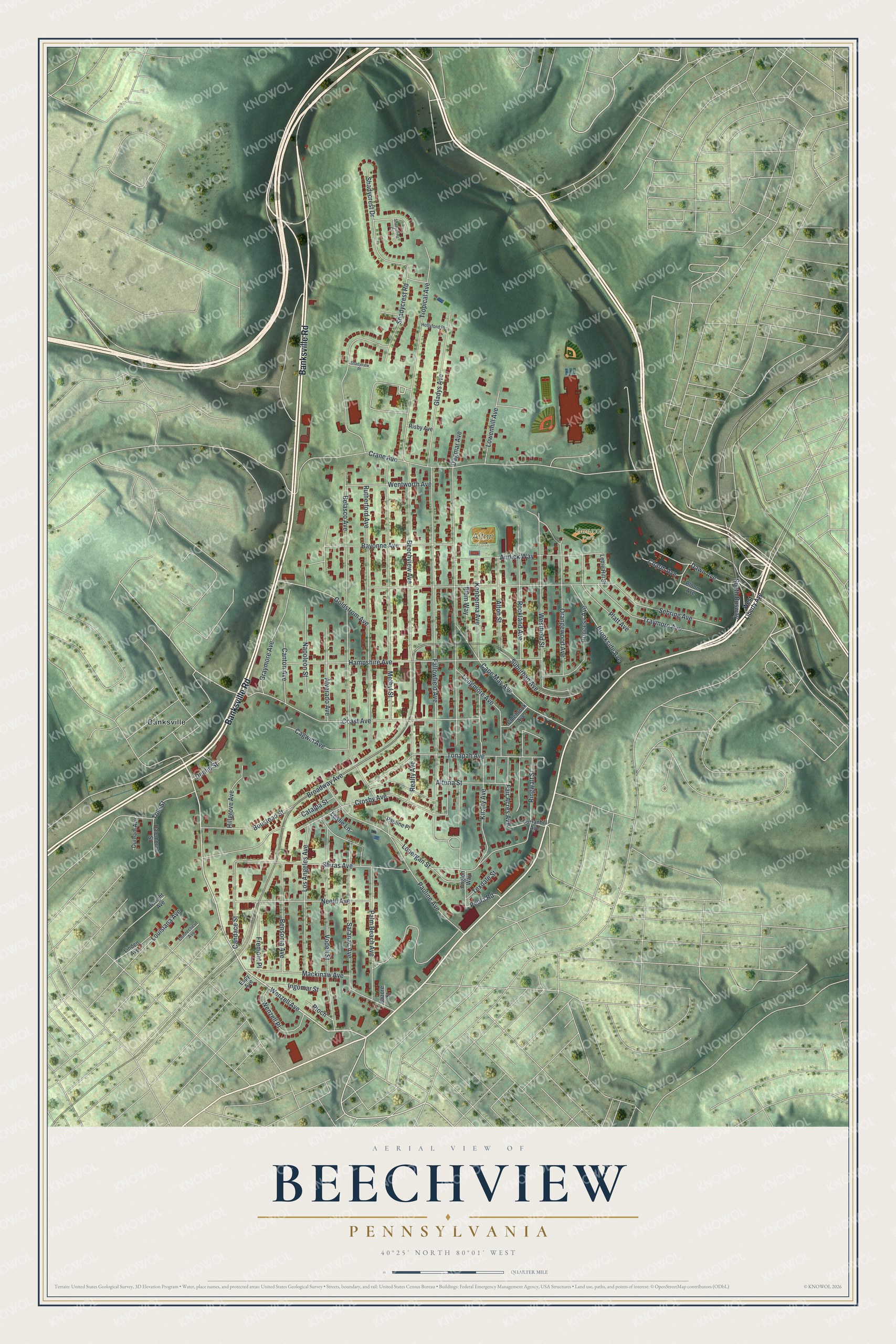
Street and place names on the Beechview, Pennsylvania map
These names are printed on the map of Beechview, Pennsylvania.
Places: Vanucci Park, Alton Park and Banksville.
Streets and roads: Banksville Road, South Busway, Wenzell Avenue, Broadway Avenue, Dagmar Avenue, Sebring Avenue, Crane Avenue, Fallowfield Avenue, Belasco Avenue, Shiras Avenue, Shadycrest Road, Hampshire Avenue.
More street names, A to Z
Alton Street, Alturia Street, Alverado Avenue, Andick Way, Anglon Way, Bayonne Avenue, Bazore Street, Beechview Avenue, Bensonia Avenue, Bloom Avenue, Boustead Street, Brookside Avenue, Cagwin Avenue, Candace Street, Canton Avenue, Cape May Avenue, Catalpa Street, Charm Avenue, Coast Avenue, Colebrook Avenue, Connecticut Avenue, Crosby Avenue, Curranhill Avenue, Dalemount Street, Dawn Avenue, Denlin Street, Durham Avenue, Dwight Avenue, Espy Avenue, Fair Acres Avenue, Fremont Place, Gladys Avenue, Goldstrom Avenue, Graymore Avenue, Hillgrove Avenue, Hollyford Place, Ingomar Street, Kenberma Avenue, Kiralfy Avenue, Leslie Lane, Lettie Hill Street, Linden Avenue, Lonergan Street, Longmore Avenue, Los Angeles Avenue, Louisiana Avenue, Lowenhill Avenue, Mackinaw Avenue, Methyl Street, Napoleon Street, Neeld Avenue, Orangewood Avenue, Palm Beach Avenue, Pauline Avenue, Pauline Place, Peola Road, Platt Avenue, Ploch, Plum Way, Princess Avenue, Realty Avenue, Ringwalt Street, Risby Avenue, Rockland Avenue, Rutherford Avenue, Saranac Avenue, Shadycrest Court, Shadycrest Drive, Shadyview Place, Suburban Avenue, Texdale Street, Tole Street, Tonapah Avenue, Traymore Avenue, Tropical Avenue, Vodeli Street, Wentworth Avenue, Wenzell Place, Westfield Street, West Liberty Avenue.
See the Beechview, Pennsylvania map on a wall
The Beechview map as an 18 x 24 inch print in a black frame.

This beautifully detailed map of Beechview makes an attractive addition to your office, library, or den, and it can even be used to teach children the geography and history of the area. It also makes a great gift for someone who left Beechview and still calls it home. When you’re done exploring, click here to get your copy of the Beechview map.