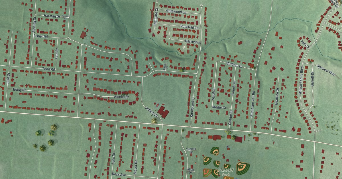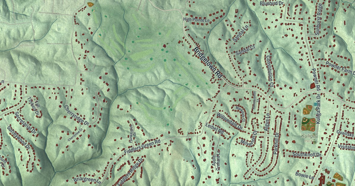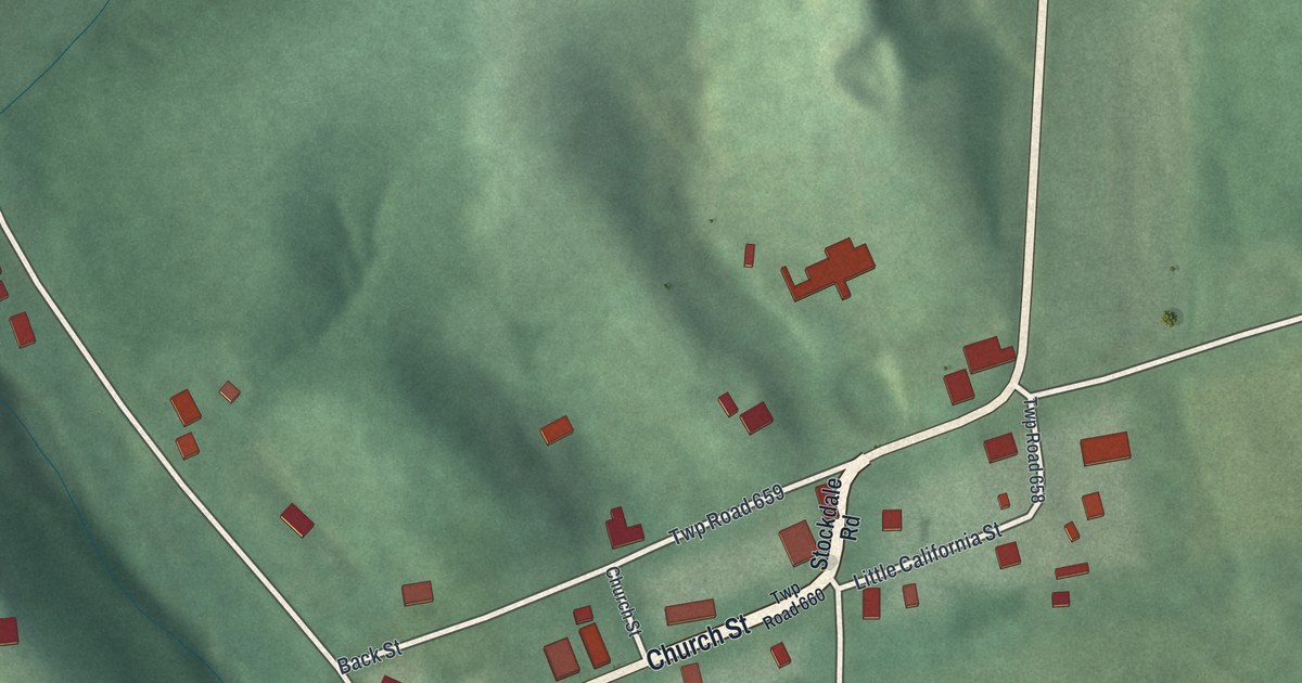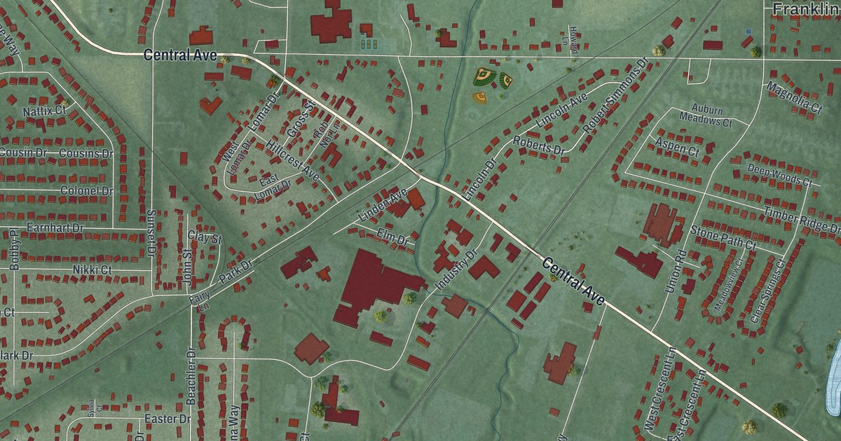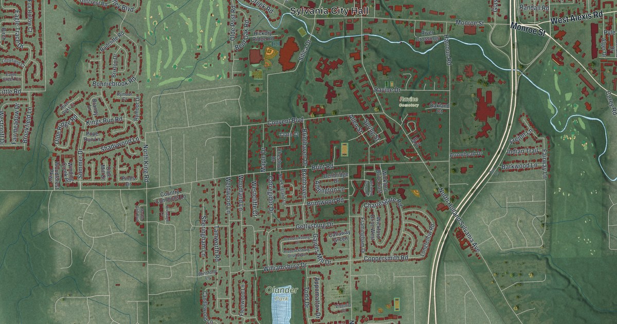
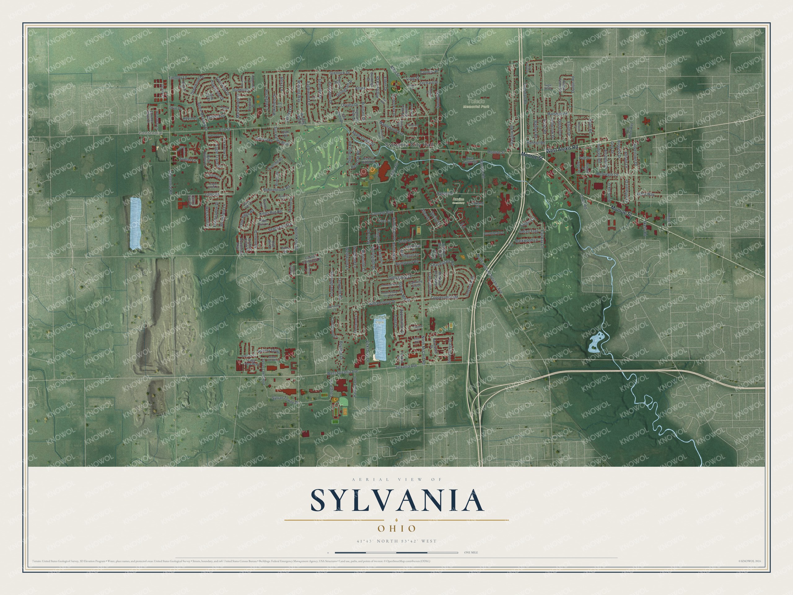
This beautifully detailed map of Sylvania, Ohio was created in 2026 using aerial imagery combined with modern topographical, census, street and landmark data. It’s a one-of-a-kind view of Sylvania that combines accurate data with a vintage aesthetic. The map shows every building in its true location, many of the roads carry their names, and the shaded topographic relief shows the shape of the land.
Explore an aerial view of Sylvania, Ohio
On the map you’ll find Sylvania City Hall, Centennial, Olander Park, Toledo Memorial Park, and Ravine Cemetery, along with Monroe Street, West Alexis Road, Acres Road, Grainfield Drive, Grenlock Drive, Rudyard Road, Main Street, and more. If you look closely you can even find your house accurately drawn in its correct location. Zoom in on the preview to look for yours.
Did you know this piece of Sylvania, Ohio history?
Sylvania took its name from the Latin word for forest land. Thick woods of the Great Black Swamp once covered the area. General David White of Palmyra, New York, is counted as the town founder. He built a log cabin near what is now downtown.
Take a closer look at the Sylvania map
Street and place names on the Sylvania, Ohio map
These names are printed on the map of Sylvania, Ohio.
Places: Sylvania City Hall, Centennial, Olander Park, Toledo Memorial Park and Ravine Cemetery.
Streets and roads: Monroe Street, West Alexis Road, Acres Road, Grainfield Drive, Grenlock Drive, Rudyard Road, Main Street, Deepwood Drive, Erie Street, Brint Road, Sylvania Avenue, West Sylvania Avenue.
More street names, A to Z
Addington Lane, Alexa Lane, Alger Drive, Allen Street, Allison Lane, Altara, Altsheler Drive, Amy Lane, Angleview Drive, Apple Creek Road, Apple Meadow Drive, Appomattox Drive, Arbor Way, Arrowhead Drive, Balfour Road, Barkwood Lane, Bentbrook Drive, Bent Oak Road, Birch Hollow Court, Bonniebrook Road, Box Lane, Boynton Drive, Brainard Drive, Brandy Lane, Breezy Porch Drive, Brinthaven, Brinthaven Drive, Brintwood Road, Brixton Drive, Brookfield Lane, Burgess Drive, Burrwood Drive, Callaway Green, Candlewood Lane, Centennial Road, Central Park Avenue, Charlesgate Road, Chestnut Drive, Clare Court, Club Road, Colonial Court, Convent Boulevard, Coppersmith Road, Corey Road, Corregidor Drive, Cougar Lane, Country Commons Lane, Country Place, Cushman Road, Dellbrook Drive, Denbridge Drive, Dornell Drive, Doyle Drive, Dressage Lane, Dunhill Drive, Durbin Road, Eagle Creek Court, Eagle Trace Drive, Eaglewood Lane, Edge View Way, Elden Drive, Elliott Drive, Fairmeadow Drive, Fairway Lane, Fifth Avenue, Fleetwood Lane, Fox Hollow Court, Framingham Drive, Franklin Drive, Franklin Street, Fredericksburg Drive, Fredericksburg Drive South, Frejon Lane, Gail Drive, Gaines Mill Drive, Garden Park Drive, Gettysburg Drive, Gillcrest Road, Gillingham Drive, Glasgow Road, Glenbeigh Drive, Granville Drive, Graystone Drive, Gregory Drive, Grey Drive, Hampstead Drive, Harroun Road, Harrow Court, Hawkins Court, Hawthorne Drive, Heidaway Lane, Hickory Grove, Hickory Ridge Road, Highland View Drive, Ian Cv, Indian Trail, Ivywood Lane, Jeffrey Lane, Kevin Lane, Kings Run Road, Littlefield Court, Little Road, Longfellow Road, Long Street, Lynnhaven Drive, Maple Drive, Maplewood Avenue, Marble Cliff Boulevard, Marshall Road, Marshwood Drive, McGregor Lane, Millford Drive, Mitchell Drive, Newcastle Drive, New England Lane, North Holland Sylvania Avenue, North King Road, North McCord Road, Oakland Court, Olde Mill Court, Olde Post Road, Olde Ridge Road, Orchard Drive, Orvieto Drive, Parkwood Boulevard, Pebble Stone Road, Peppermill Drive, Phillips Avenue, Pines Drive, Pope Run Lane, Post Office Way, Pyle Drive, Quarry Lane, Quarry Side Drive, Radcliffe Road, Randall Road, Ravine Drive, River Crossings, River Oaks Court, Roan Road, Rockdale Lane, Roosevelt Court, Rymoor Court, Rymoor Drive, San Reno Drive, Schultz Drive, Shadywood Lane, Sheringham Lane, Silica Drive, Silvertown Drive, Skelly Road, Spring Street, Stonehenge Drive, Sugar Hill Court, Summer Drive, Summer Place Drive, Summit Street, Sunrise Circle, Sunset Lane, Sun Valley Boulevard, Sylvan Lakes Boulevard, Sylvan Oaks Way, Sylvan Towne Drive, Tamworth Road, Therfield Drive, Timothy Lane, Todd Drive, Trail Way, Vicksburg Drive, Victoria Court, Wakefield Drive, Weldwood Lane, Westcliffe Court, Westcroft Drive, Westview Drive, Whiteford Road, Wickford Drive East, Wickford Drive West, Wickford Green Drive, Wild Ivy Court, Williamsburg Drive, Winding Creek Place, Winding Way, Winding Way Drive, Winsford Lane, Woodforest Parkway, Woodland Lane, Woodrow Drive.
See the Sylvania, Ohio map on a wall
The Sylvania map as an 18 x 24 inch print in a black frame.

This beautifully detailed map of Sylvania makes an attractive addition to your office, library, or den, and it can even be used to teach children the geography and history of the area. It also makes a great gift for anyone who grew up in Sylvania or moved away. When you’re done exploring, click here to get your copy of the Sylvania map.