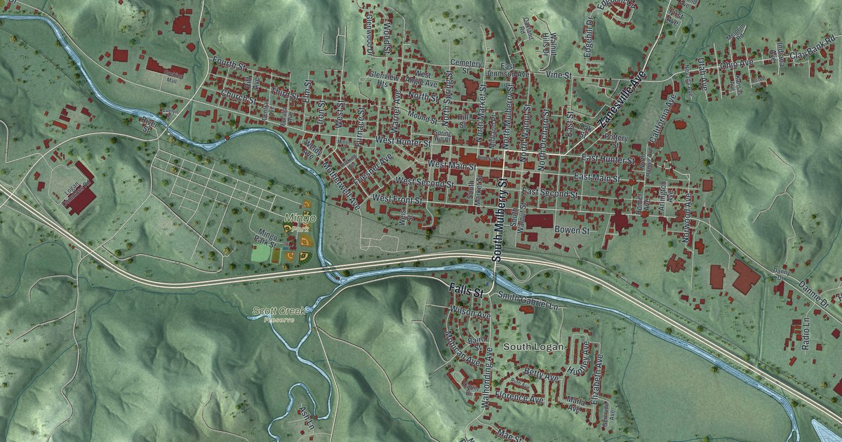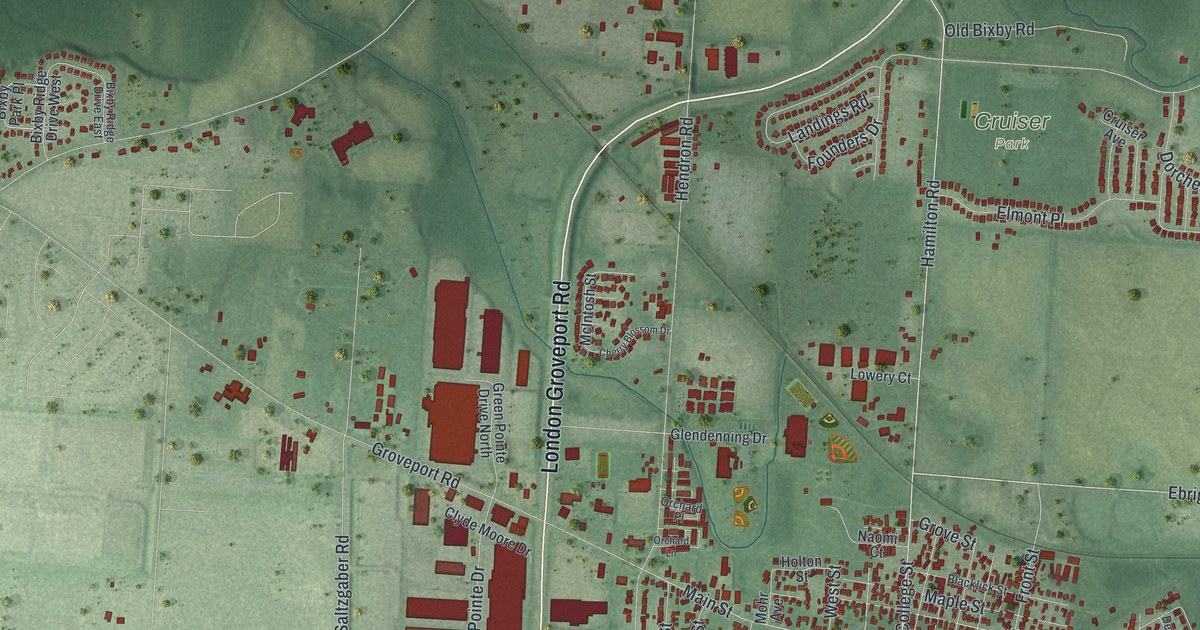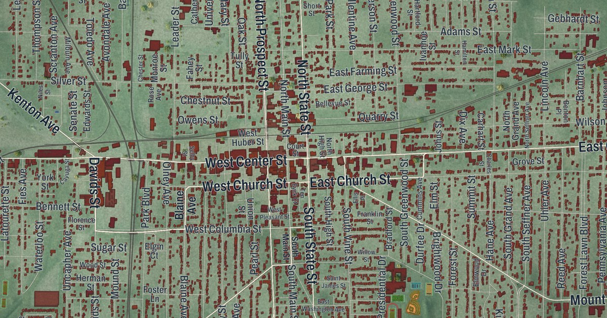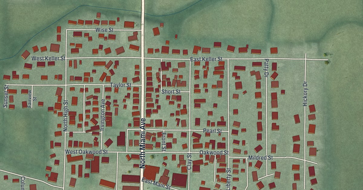
If you grew up in Bradford, walked to church on Church Street, or have family who worked for the railroad, this map is for you. It's a modern aerial view of Bradford in Miami County, Ohio, made from modern data and given a vintage look. North Miami Avenue and South Miami Avenue run straight up the middle, and East Main Street cuts across town on a long slant. More than 1,200 red buildings fill the blocks. A winding stream crosses the north end, near ball fields and a running track.
Find your street in Bradford, from Wise Street to West Walnut Street
On this map you'll find North Miami Avenue, South Miami Avenue, East Main Street, Railroad Avenue, School Street, Church Street, High Street, Staunton Street, East Keller Street, Oakwood Street, Grandview Drive, Klinger Road, West Walnut Street, the Village of Bradford Administrative Building, and more. Each red shape is a building, so zoom in on the preview and look for yours.
How the railroad built Bradford
Bradford started in 1852 as a camp for the men building the Columbus, Piqua, and Indiana Railroad. In 1864, the Richmond and Covington Railroad made a junction here. After that, the village grew with the rail yard. The Bradford historical marker says there were 60 miles of track and a roundhouse with 50 stalls. There were jobs for 2,000 men. Town life centered on the Railroad YMCA. The marker stands at Bradford Y-Yard Park, where North Miami Avenue meets School Street. Even the street names remember those days. Look for Railroad Avenue on the map.
The BF Tower on East Main Street
About 1929, the Pennsylvania Railroad built the Bradford or "BF" Tower at Bradford Junction. It took the place of an older wooden tower. From inside, operators controlled every train that came through. They threw steel levers by hand to move track switches and set signals. They sent telegraph messages to towers in Columbus and in Indianapolis and Logansport, Indiana. The tower closed on January 3, 1984. Today it's on the National Register of Historic Places, at 501 East Main Street.
The Bradford fire of 1920
On the night of August 3, 1920, two men were walking home from the Railway YMCA. They saw smoke and flames at the D. Arnold & Sons Lumber Company. Bradford firemen and crews from nearby towns fought hard. But the heat was intense, and there wasn't enough water. By morning, people saw that their town was almost wiped out. Thirty-four businesses and twelve homes burned to the ground. Many businesses never rebuilt. The state fire marshal ruled it arson, but no one was ever charged. A marker about the fire stands in Iddings Park, at the corner of East Main Street and North Miami Avenue.
A map of Bradford from Grandview Drive to West Walnut Street
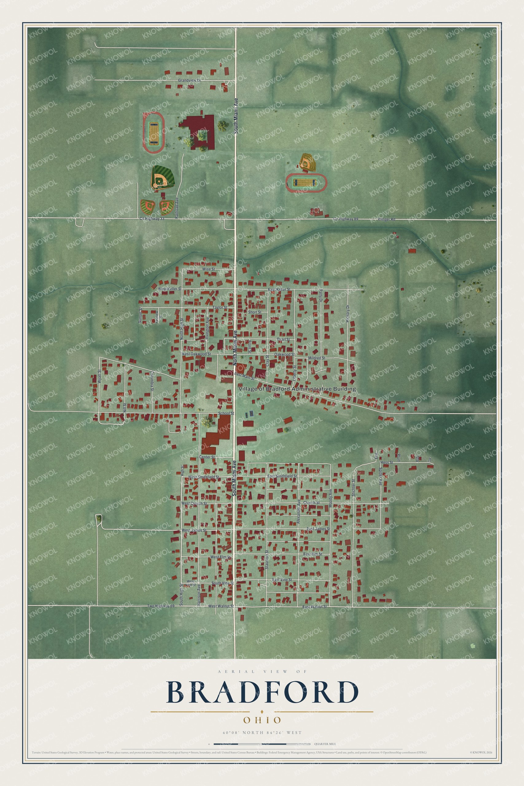
Created by KNOWOL in 2026, this print shows red buildings and pale streets over soft green land, with a winding stream across the north end. The title panel reads "Aerial View of Bradford, Ohio" with the coordinates 40°08' North 84°26' West.
It fits well in a living room, a hallway or a home office. It's a good gift for anyone who grew up near North Miami Avenue, or for a family with railroad roots at Bradford Junction and the old BF Tower. Open the preview and zoom in to find your own street. See sizes and frames for the Bradford map.