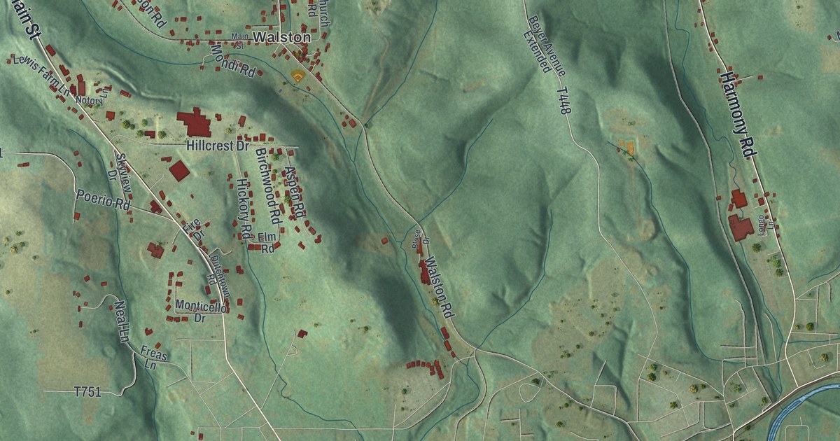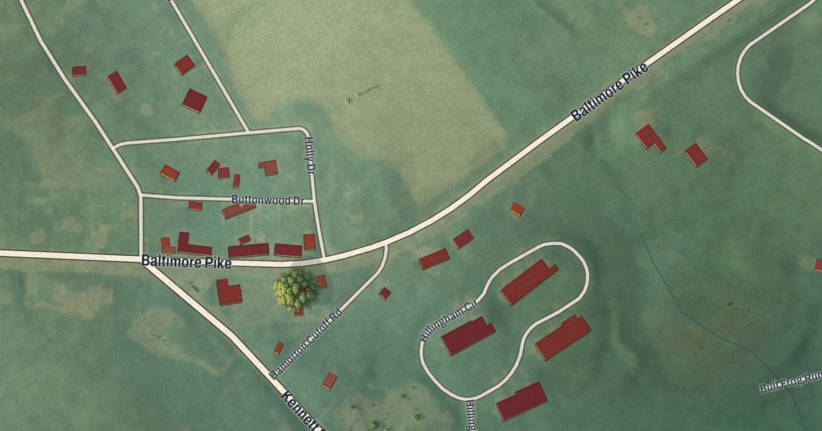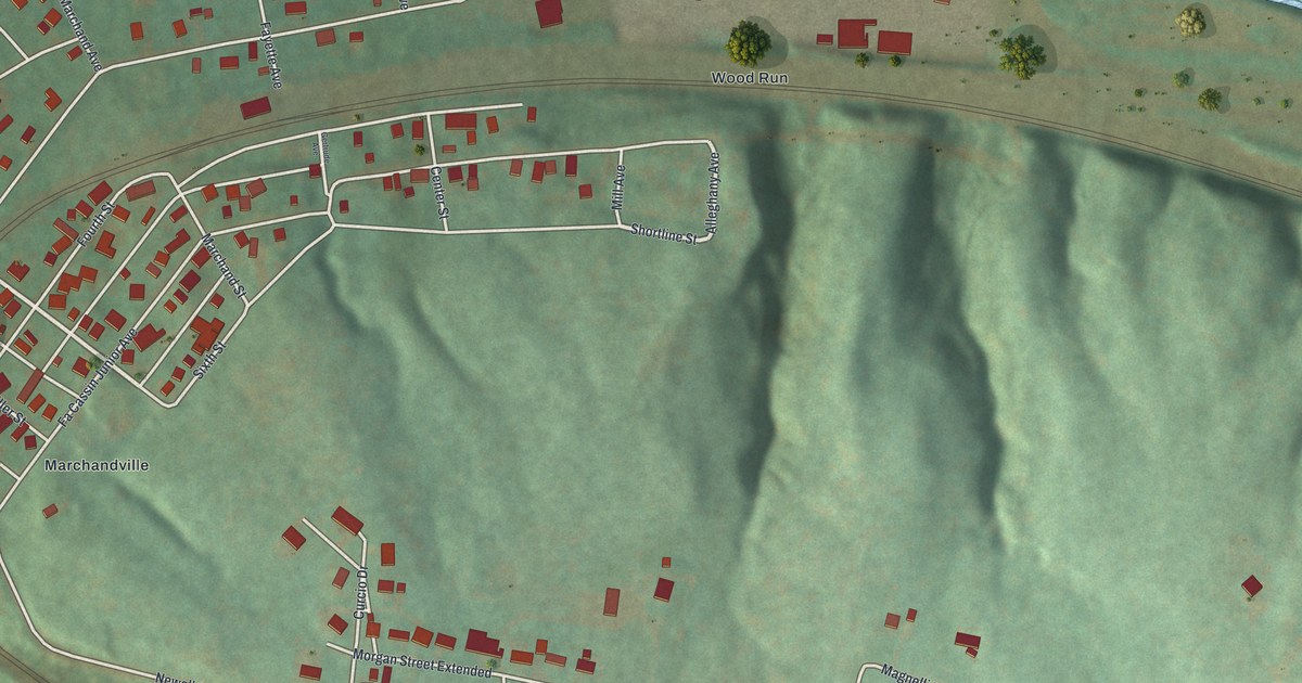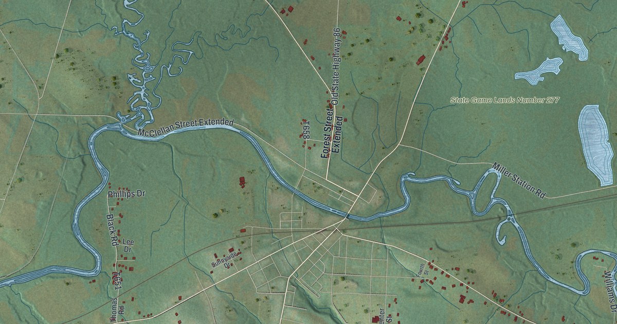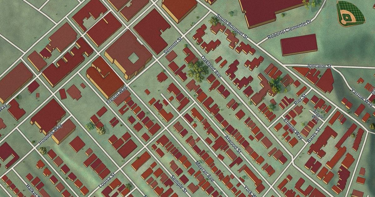
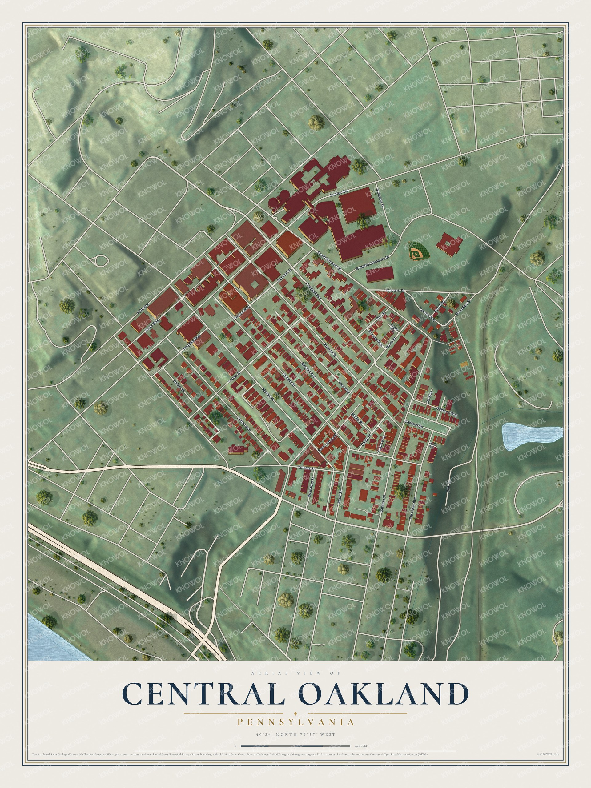
This beautifully detailed map of Central Oakland, Pennsylvania was created in 2026 using aerial imagery combined with modern topographical, census, street and landmark data. It’s a one-of-a-kind view of Central Oakland that combines accurate data with a vintage aesthetic. The map shows every building in its true location, many of the roads carry their names, and the shaded topographic relief shows the shape of the land.
Explore an aerial view of Central Oakland, Pennsylvania
On the map you’ll find McKee Place, along with Fifth Avenue, Oakland Avenue, South Bouquet Street, Forbes Avenue, Boundary Street, Semple Street, Atwood Street, Bates Street, Meyran Avenue, Dawson Street, Schenley Drive, and more. If you look closely you can even find your house accurately drawn in its correct location. Zoom in on the preview to look for yours.
Did you know this piece of Central Oakland, Pennsylvania history?
From George Thornton Fleming’s 1922 History of Pittsburgh and Environs: "Among the earliest of the annexations to the city was a large section of territory that constituted Oakland township, which had been created from Pitt township."
Take a closer look at the Central Oakland map
Street names on the Central Oakland, Pennsylvania map
These names are printed on the map of Central Oakland, Pennsylvania.
Streets and roads: Fifth Avenue, Oakland Avenue, South Bouquet Street, Forbes Avenue, Boundary Street, Semple Street, Atwood Street, McKee Place, Bates Street, Meyran Avenue, Dawson Street, Schenley Drive.
More street names, A to Z
Argyle Way, Bolair Way, Cable Place, Cable Way, Coltart Avenue, Ermine Way, Euler Way, Fresco Way, Halket Place, Iroquois Way, Isis Way, Jet Way, Joncaire Street, Juno Street, Louisa Street, Melba Place, Oakland Square, Oakland Way, Parkview Avenue, Pier Street, Roberto Clemente Drive, Saint James Place, Sennott Street, Ward Street, Wellsford Street, Yarrow Way, York Way, Zulema Street.
See the Central Oakland, Pennsylvania map on a wall
The Central Oakland map as an 18 x 24 inch print in a black frame.

This beautifully detailed map of Central Oakland makes an attractive addition to your office, library, or den, and it can even be used to teach children the geography and history of the area. It also makes a great gift for anyone who grew up in Central Oakland or moved away. When you’re done exploring, click here to get your copy of the Central Oakland map.