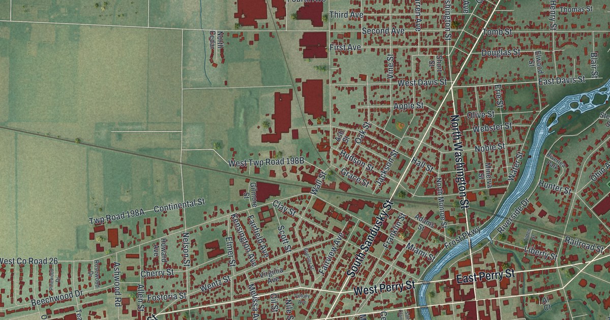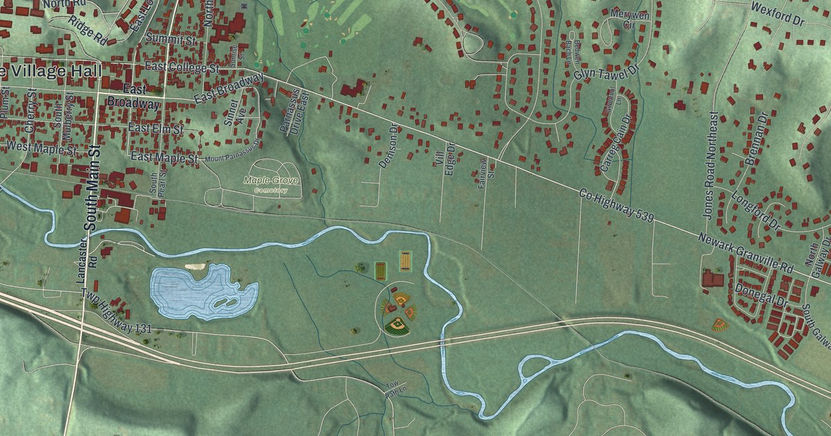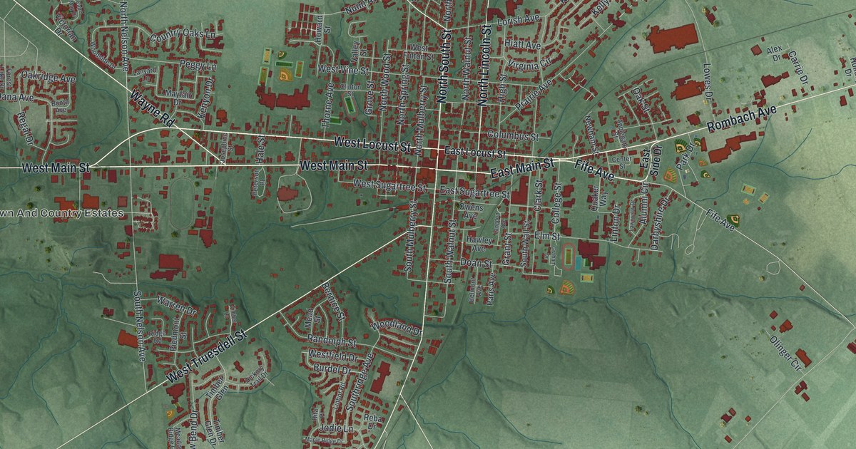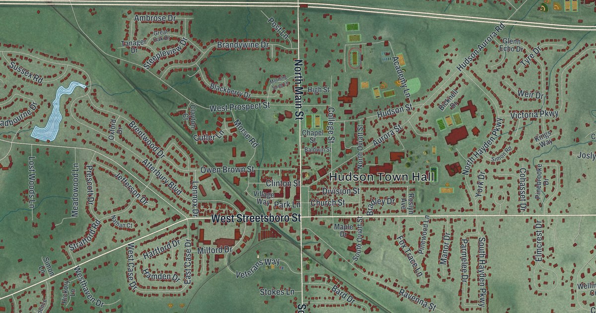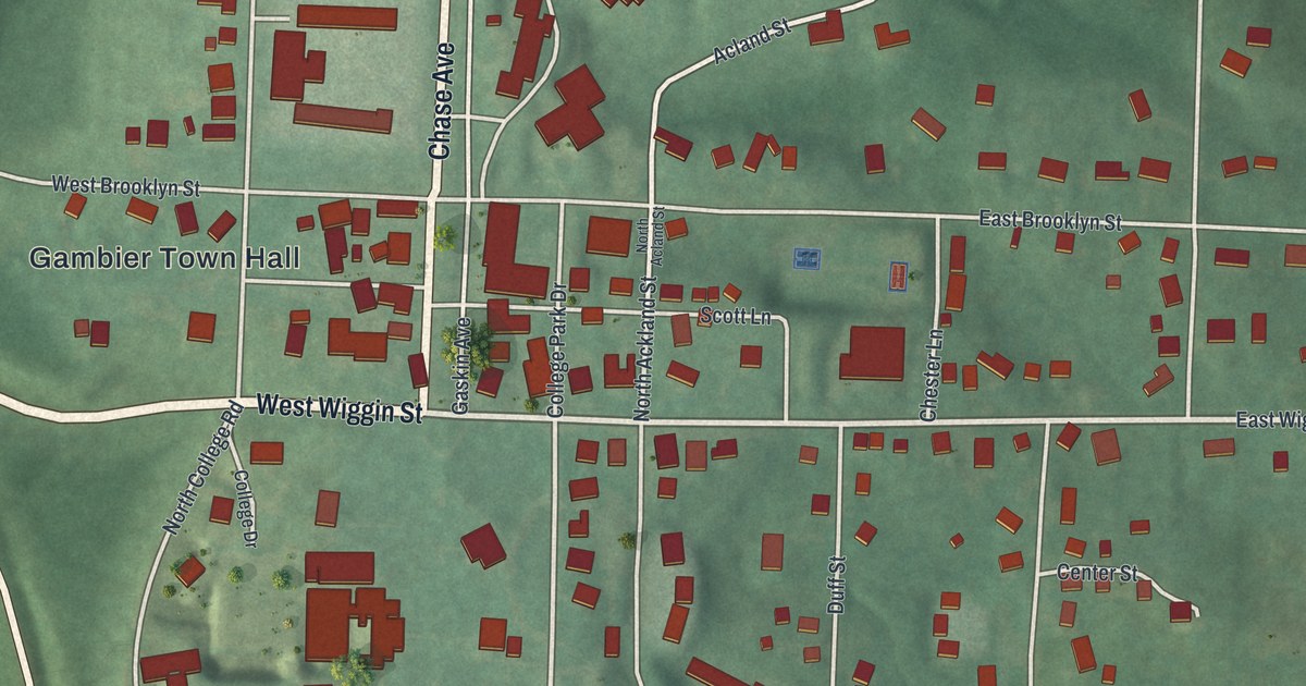
If you studied at Kenyon College, or you grew up near Wiggin Street, this map is a piece of home. It's a modern aerial view of Gambier in Knox County, Ohio, made from modern data and given a warm vintage look. You'll see the village spread across its hill, with Chase Avenue running up the middle. Red shapes mark the houses, halls and shops, and the track at McBride Field sits south of town. A wide blue river curves along the west side, with fields and ball diamonds to the south.
Chase Avenue, Wiggin Street and the streets of Gambier
On this map you'll find Chase Avenue, West Wiggin Street, East Wiggin Street, Gambier Town Hall, McBride Field, Oak Grove Cemetery, Newcastle Road, West Brooklyn Street, East Brooklyn Street, Kokosing Drive, Woodside Drive, Ward Street, Duff Street, Acland Street, College Park Street, and more. Each red shape is a building, so zoom in on the preview and look for yours.
Why the village is called Gambier
Gambier grew up around a college. Philander Chase was the first Episcopal bishop of Ohio. He started Kenyon College in Worthington in 1824. Four years later, he moved it to Gambier. Chase had raised money in England for the school. Lord Kenyon and Lord Gambier were among the people who helped him. So the college took one name, and the village took the other. That's all told on the Ohio marker called Kenyon College, Pioneer in Higher Education. It stands at the corner of Wiggins Street and Chase Avenue, right in the middle of the map.
Chase wanted his school out in the country. Henry Howe's 1891 history quotes him: "Put your seminary on your own domain." The village was laid out in July 1826, in the middle of the college's land. Howe describes a high ridge with the river wrapped around it on three sides. You can still see that shape on the map. The streets sit up on the hill, and the river bends around below them. Kenyon graduates in the 1800s included Edwin M. Stanton, Lincoln's secretary of war, and Rutherford B. Hayes, who became president.
A print of Gambier and Kenyon's hill
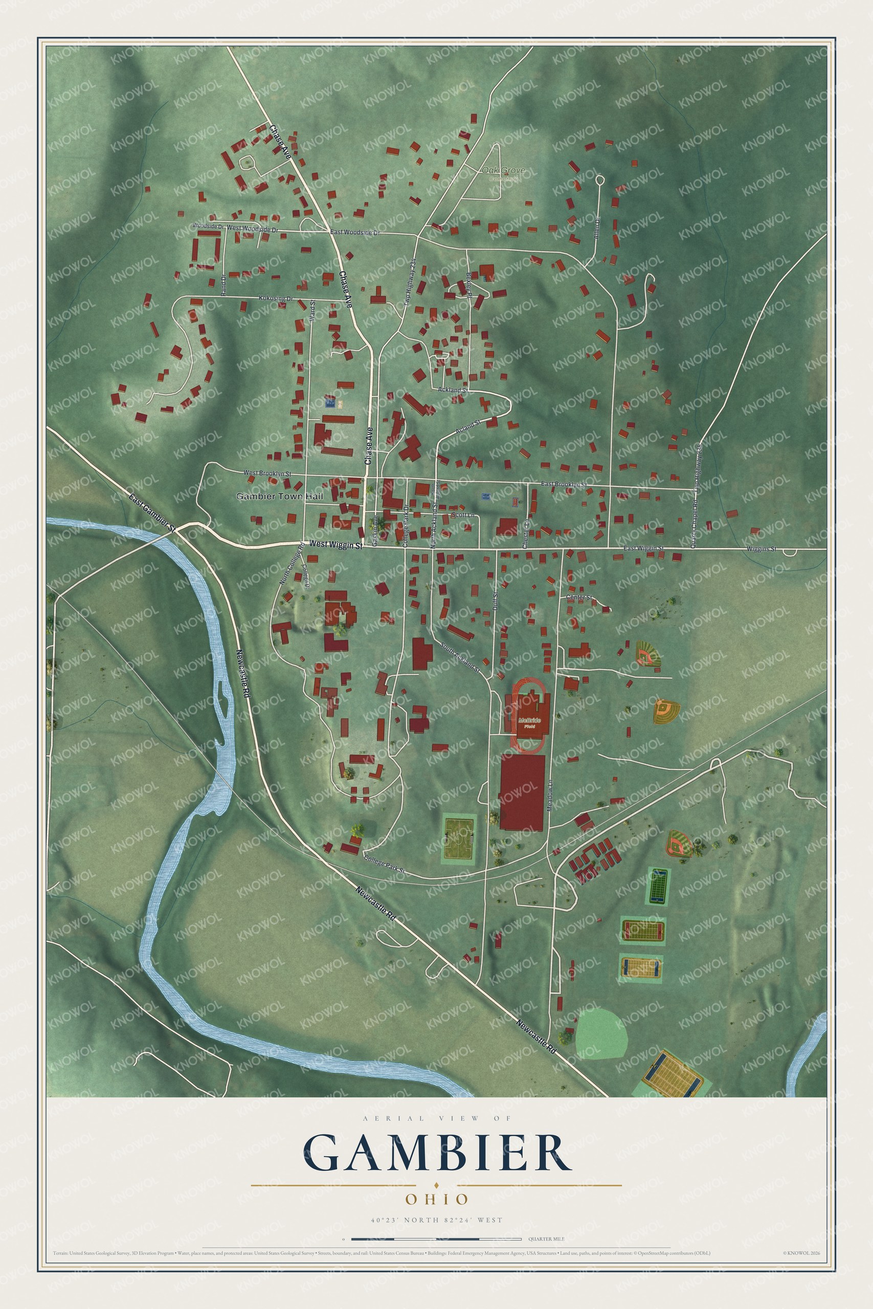
Created by KNOWOL in 2026, this print shows Gambier from above, with red buildings on soft green hills and a blue river along the side. The title panel at the bottom reads "Aerial View of Gambier, Ohio" with the coordinates 40°23' North 82°24' West.
It fits well in a dorm room, a study, a front hall or an office. It's a good gift for a Kenyon graduate, a professor, or a family that once lived along Chase Avenue. Open the preview and find the streets you know. See sizes and frames for the Gambier map.