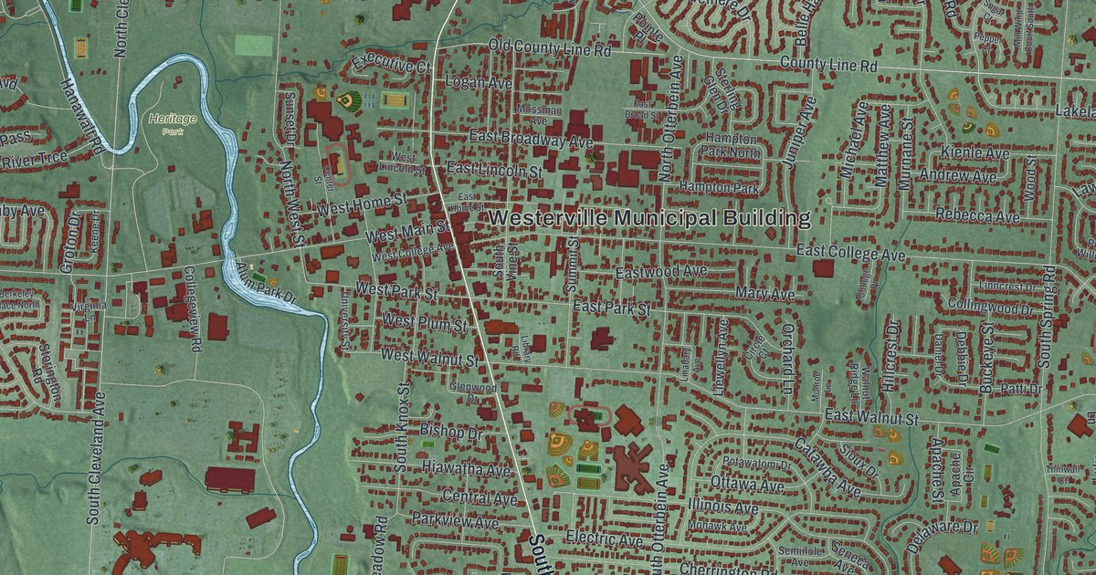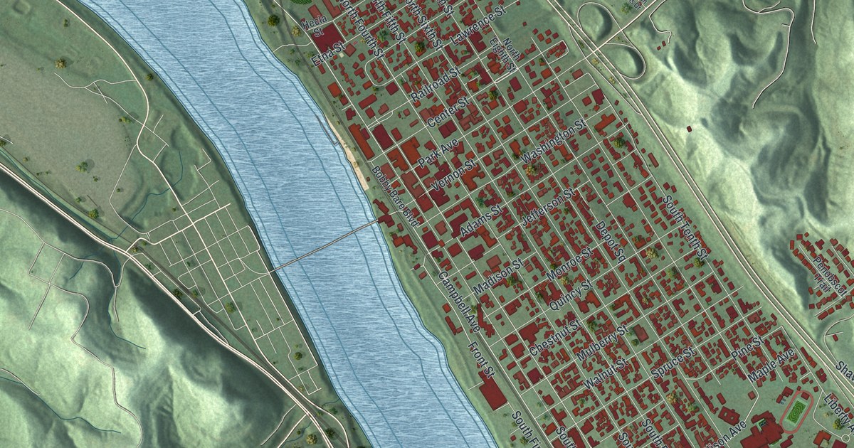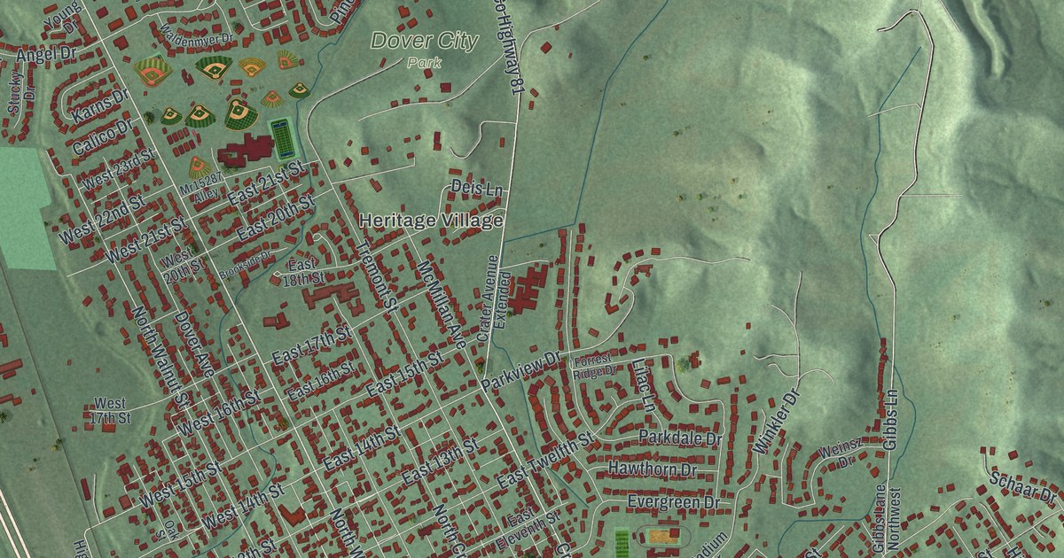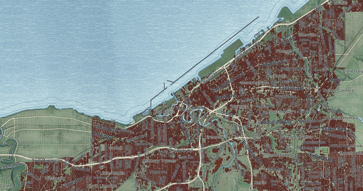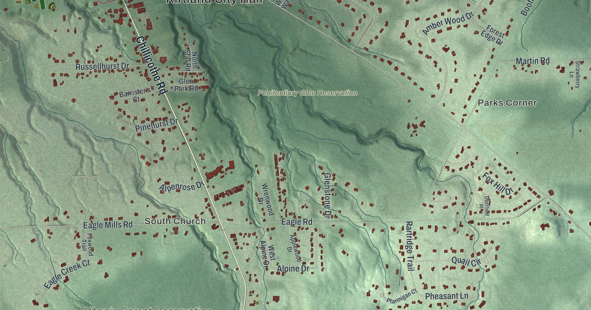
If you grew up off Chillicothe Road or spent Saturdays on the trails at Chapin Forest, this map was made with you in mind. It's a modern aerial view of Kirtland in Lake County, Ohio, built from modern data and given a vintage look. Shaded green hills fold into deep ravines, and a blue river winds across the top of the sheet. Small red shapes mark the homes and shops, and the big green parks spread out between them.
The Kirtland Temple on Chillicothe Road
On this map you'll find Chillicothe Road, Kirtland Road, Chardon Road, Euclid Chardon Road, Kirtland City Hall, Chapin Forest Reservation, Penitentiary Glen Reservation, Holden Arboretum, Farmpark, Pecks Corners, South Church, Parks Corner, Eagle Mills Road, Billings Road, and more. Each red shape is a building, so zoom in on the preview and look for yours.
Kirtland is best known for its temple. In the 1830s, the town became an early gathering place for The Church of Jesus Christ of Latter-day Saints. It was the church's headquarters too. Joseph Smith had started the church in western New York in 1830. Here his followers built a whole community. They also built a temple, and many gave up their own goods to pay for it. They used local materials. The design mixes Gothic Revival and Classic styles. Smith dedicated it on March 27, 1836. In his prayer he called it the House of the Lord. That's all told on the Kirtland Temple marker from the Ohio History Connection. The temple's address is 9020 Chillicothe Road, the same road you'll find printed on this map.
Kirtland after 1838
Hard times came soon. Fights inside the church and pressure from outside it wore the community down. In 1838, most of the members here followed Smith west. They went to Missouri, then Illinois, and later Utah. The temple stayed behind. It joined the National Register in 1969. Two more National Register buildings stand on Chillicothe Road as well: the Newel K. Whitney Store and Old South Church.
From Chapin Forest to Pecks Corners
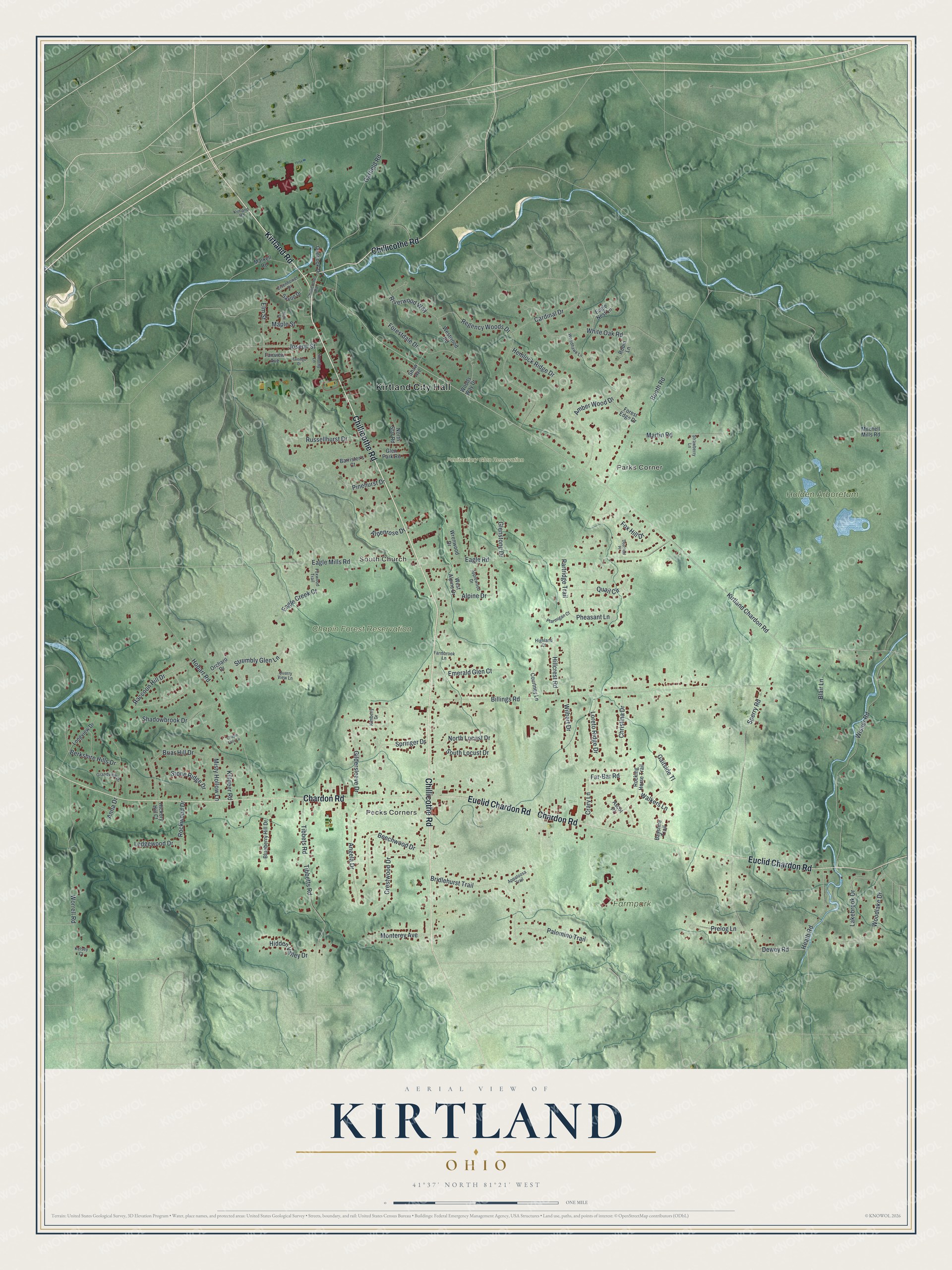
Created by KNOWOL in 2026, this print shows Kirtland in soft greens, with shaded hills from USGS elevation data and streets from the Census Bureau. The title panel at the bottom reads AERIAL VIEW OF KIRTLAND, OHIO, with the coordinates 41°37' NORTH 81°21' WEST.
It fits a living room, a home office or the hallway by the front door. It's a good gift for someone who grew up near Kirtland City Hall, or a friend who walked the Holden Arboretum paths before moving away. Open the preview and find your own street. See sizes and frames for the Kirtland map.