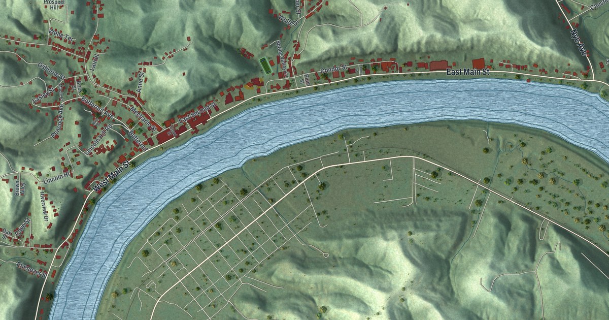
If you grew up in Pomeroy, or your family still lives along Main Street or up in Lincoln Heights, this map is for you. It's a modern aerial view of Pomeroy in Meigs County, Ohio, drawn from modern data and given a vintage artistic feel. A wide blue river bends in a big loop across the sheet. Steep green hills rise right behind the town. Red buildings crowd the narrow strip along the water, then climb the hollows toward Prospect Hill and Beech Grove Cemetery.
East Main Street, Welshtown and Kerrs Run
On this map you'll find East Main Street, West Main Street, East Second Street, Mulberry Avenue, Butternut Avenue, Court Street, Condor Street, Spring Avenue, Union Avenue, Lincoln Heights, Prospect Hill, Welshtown, Kerrs Run, Beech Grove Cemetery, and more. Each red shape is a building, so zoom in on the preview and look for yours.
Condor Street and the first coal towboat
Pomeroy is named for Samuel Wyllys Pomeroy, an early landowner. His company and his son-in-law, Valentine B. Horton, helped build the coal, salt and iron trade here. Horton found a new way to move coal. He built the world's first coal barges. In 1835 he built the Condor, the first towboat to burn coal. Coal, salt and iron left Pomeroy's wharf for ports from Pittsburgh to Cincinnati. Showboats and passenger boats tied up here too. That's the story on the Village of Pomeroy marker, which stands by the river near Main Street. Look for Condor Street on the map. It shares its name with Horton's boat.
James Edwin Campbell of Kerrs Run
James Edwin Campbell was born in the Kerr's Run area of Pomeroy in 1867. He finished Pomeroy High School in 1884. Then he taught school around Meigs County. He became known as an African American poet, editor and writer. His best poems came out in a book called Echoes From the Cabin and Elsewhere. In 1891 he became the first president of the West Virginia Colored Institute, now West Virginia State University. He died in Pomeroy in 1896. His marker stands in a small park on East Main Street, on the river side. Kerrs Run sits on the right side of the map, past the end of East Main Street.
Bring East Main Street home
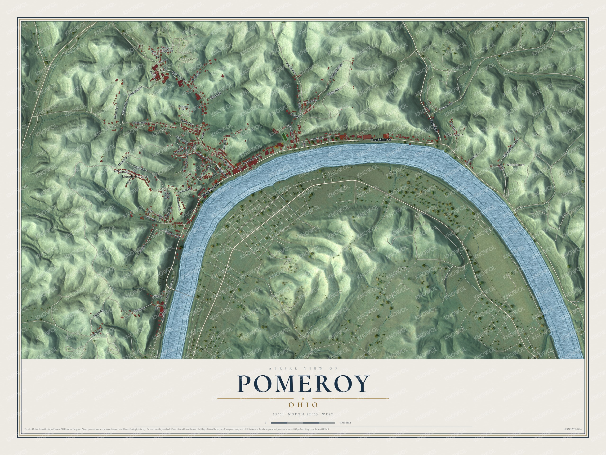
Created by KNOWOL in 2026, this print shows Pomeroy in soft shaded green hills, with a blue river and buildings in deep red. The title panel reads "Aerial View of Pomeroy, Ohio" with 39°01' North 82°03' West printed below.
It suits a living room, a den or a hallway by the front door. It's a good gift for anyone who grew up on East Main Street or in Lincoln Heights and later moved away. Open the preview and look for the street you know. See sizes and frames for the Pomeroy map.