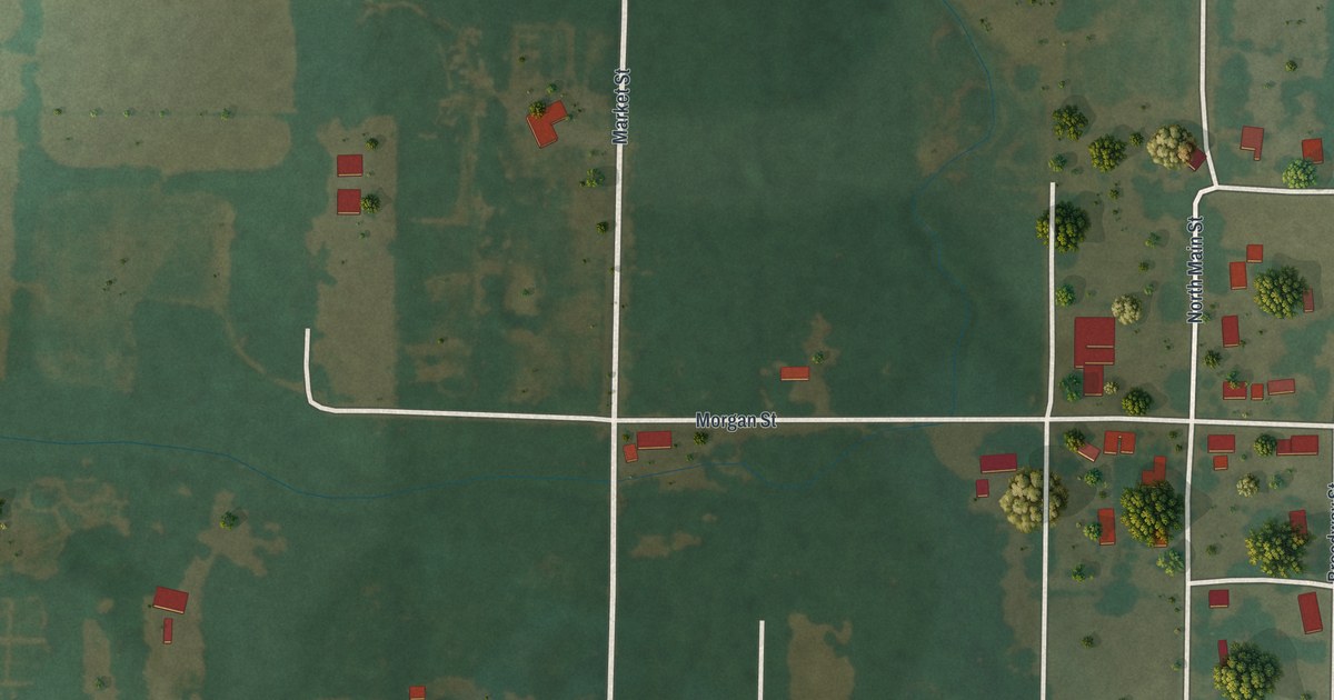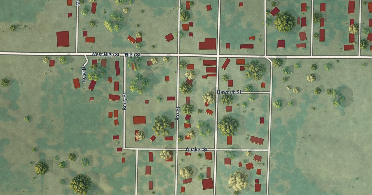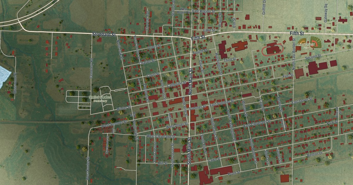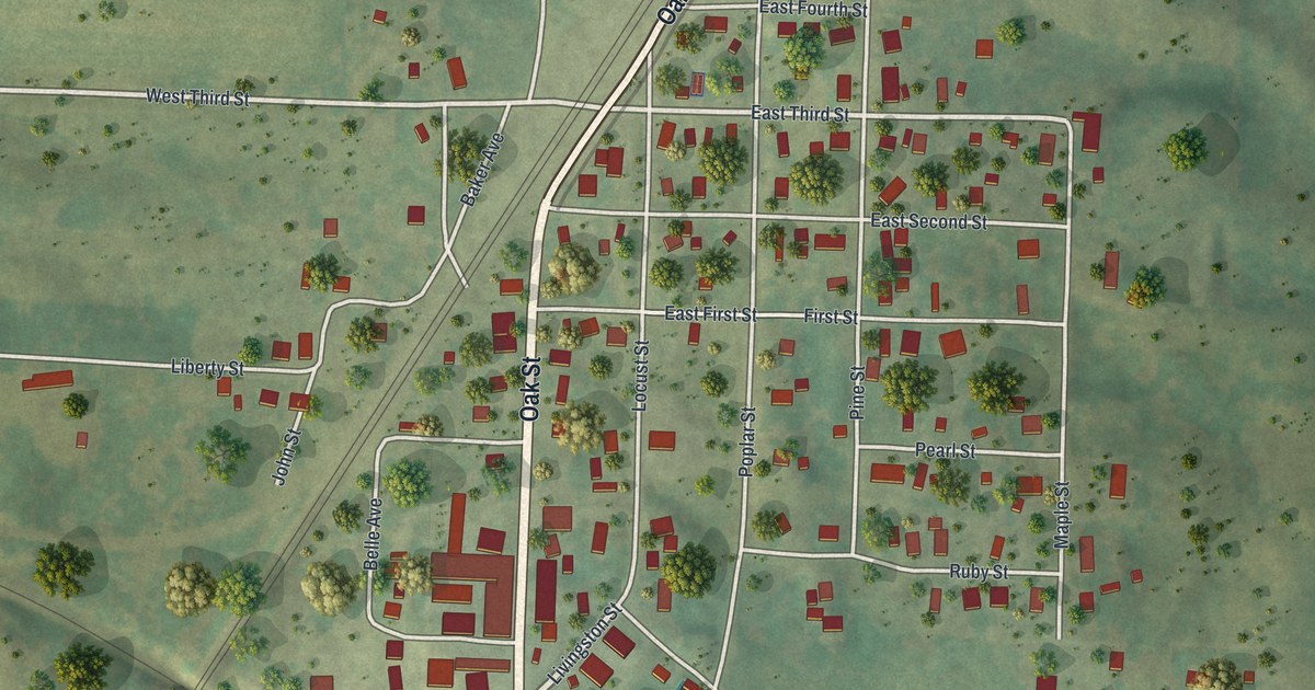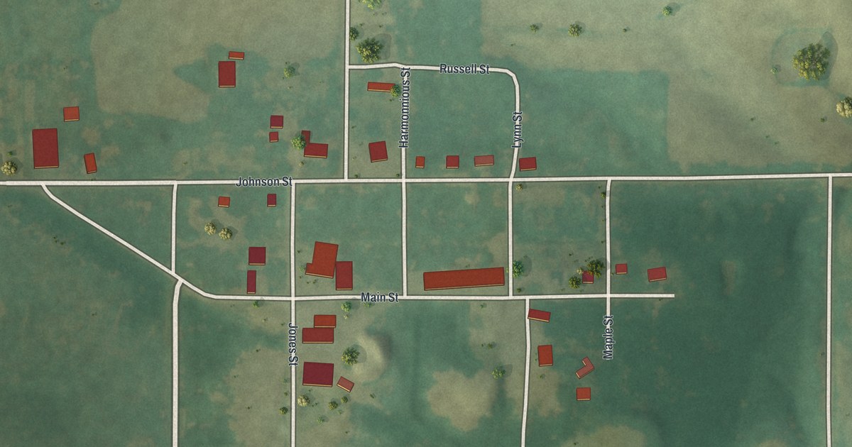
If you grew up in Granger or still have family on Main Street, this map was made with you in mind. It's a modern aerial view of Granger in Scotland County, Missouri, made from modern data and given a soft vintage look. The village sits near the middle of the sheet. Its small grid of white streets is ringed by green farm fields, and two winding creek valleys cut through the land to the north and east.
Granger and the Keokuk & Western Railroad
On this map you'll find Main Street, Johnson Street, Evans Street, Jones Street, Russell Street, Lynn Street, Maple Street, Wagner Street, Harmonnious Street, and more. Each red shape is a building, so zoom in on the preview and look for yours.
Granger's story is tied to the railroad. An 1887 county history put it simply: "Granger is situated on the Keokuk & Western Railroad." The same book says the village sits about one and a half miles west of the county's eastern line. That puts Granger close to the east edge of Scotland County.
On the map, Main Street and Johnson Street sit at the heart of the village. Red buildings spread out along the blocks around them. Past the last of them, the fields open wide, and dark lines of trees mark the creek valleys.
Main Street and Evans Street in Granger
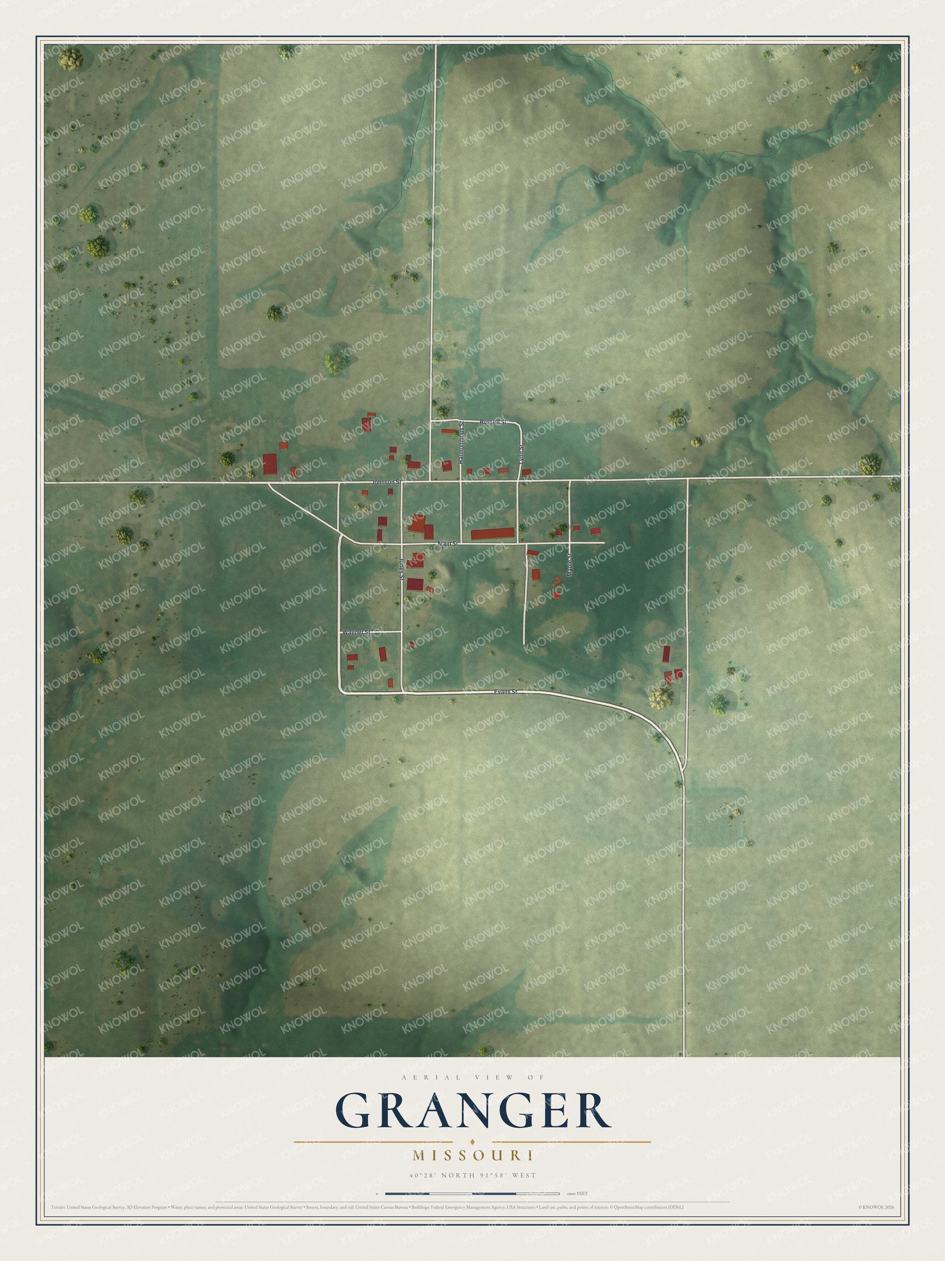
Created by KNOWOL in 2026. The print shows soft green fields and rolling ground around Granger's white streets, with each building in red. The title panel reads "Aerial View of Granger, Missouri" with the coordinates 40°28' North 91°58' West.
It fits a kitchen, a front hall or a home office. It's a good gift for someone who grew up near Main Street and moved away, or for family still living in Scotland County. Open the preview and find your street. See sizes and frames for the Granger map.