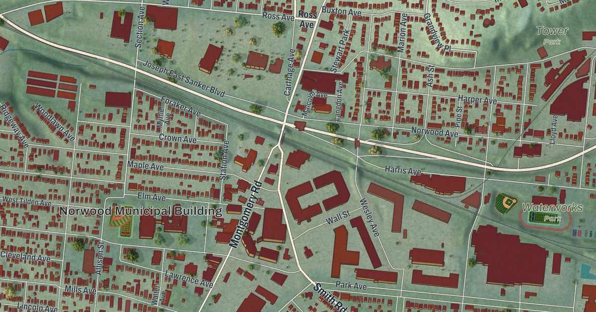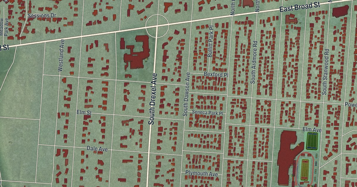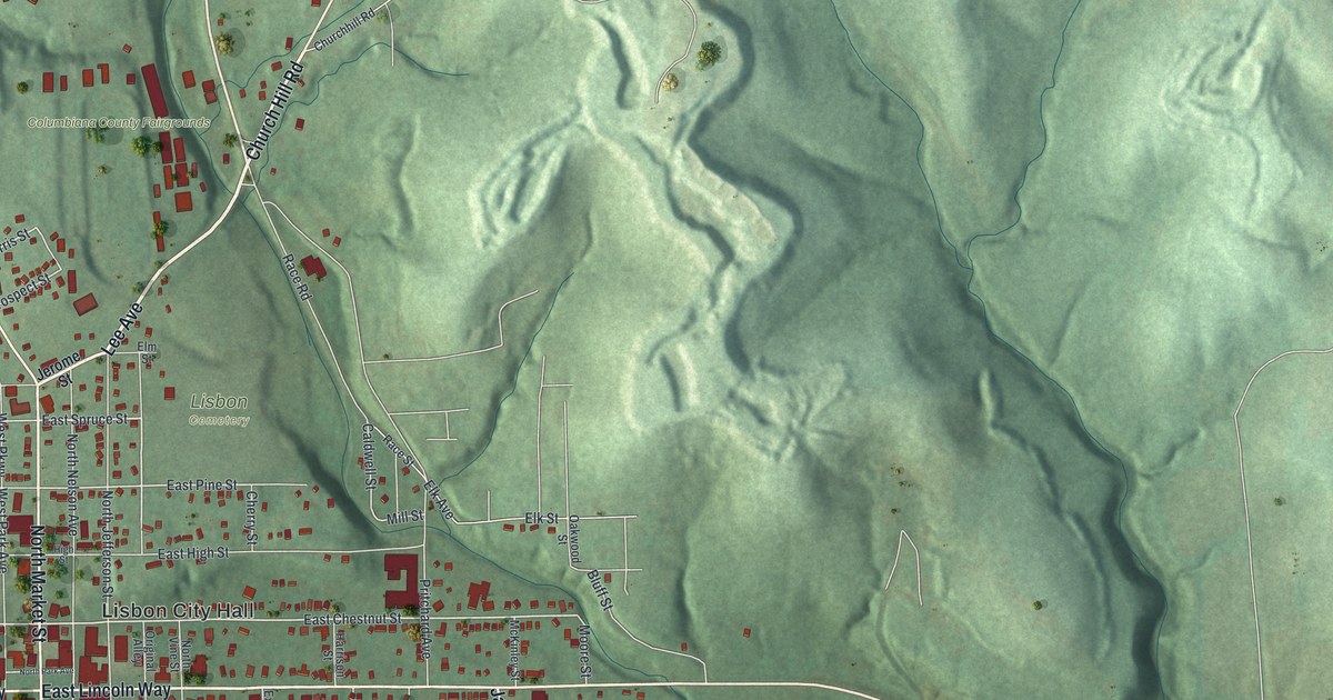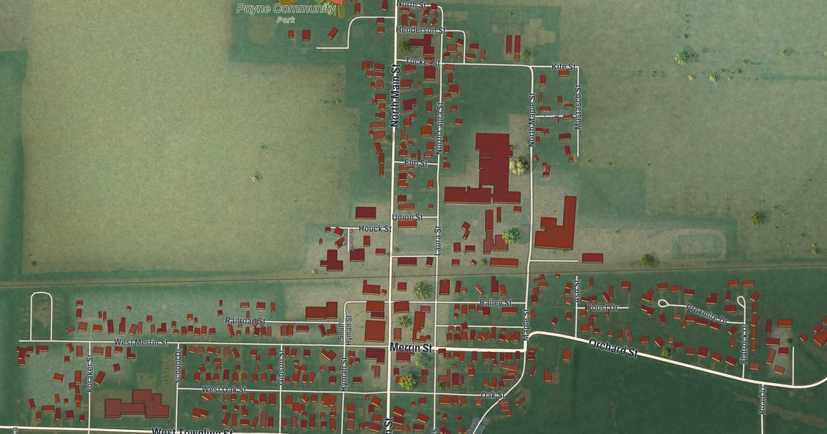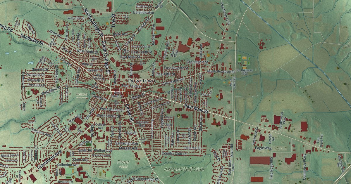
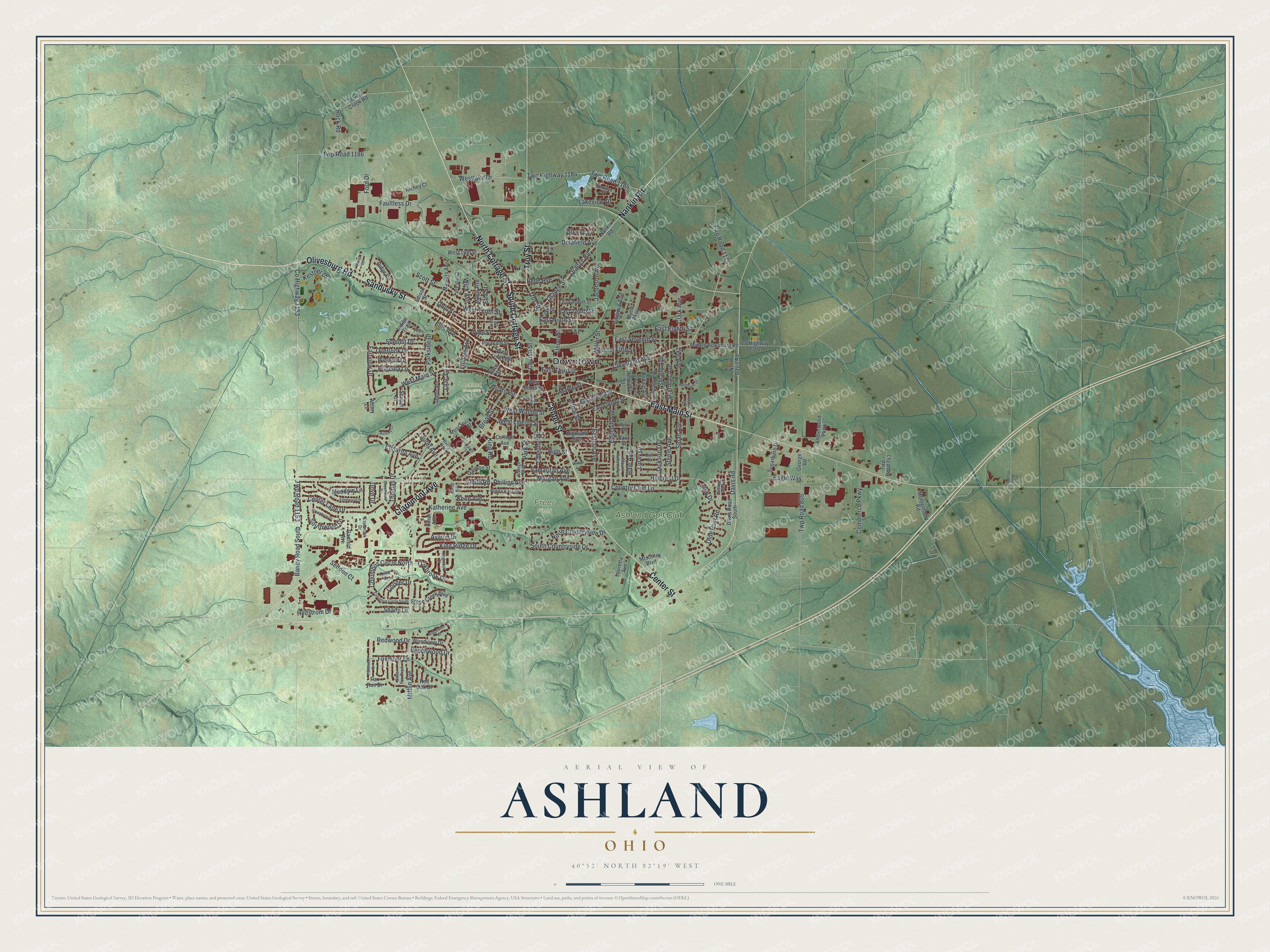
This beautifully detailed map of Ashland, Ohio was created in 2026 using aerial imagery combined with modern topographical, census, street and landmark data. It’s a one-of-a-kind view of Ashland that combines accurate data with a vintage aesthetic. The map shows every building in its true location, many of the roads carry their names, and the shaded topographic relief shows the shape of the land.
Explore an aerial view of Ashland, Ohio
On the map you’ll find Downtown, Ashland Cemetery, Freer Field, and Ashland Golf Club, along with Claremont Avenue, East Main Street, South Cottage Street, Olivesburg Road, Sandusky Street, Nankin Road, North Cottage Street, Center Street, and more. If you look closely you can even find your house accurately drawn in its correct location. Zoom in on the preview to look for yours.
Did you know this piece of Ashland, Ohio history?
Ashland began as Uniontown, laid out by William Montgomery in 1815. In 1822 it had to pick a new name because Ohio already had a Uniontown. Supporters of Kentucky congressman Henry Clay chose Ashland, the name of his estate near Lexington.
Take a closer look at the Ashland map
Street and place names on the Ashland, Ohio map
These names are printed on the map of Ashland, Ohio.
Places: Downtown, Ashland Cemetery, Freer Field and Ashland Golf Club.
Streets and roads: Claremont Avenue, East Main Street, South Cottage Street, Olivesburg Road, Sandusky Street, Nankin Road, North Cottage Street, Center Street, Troy Street, Orange Road, County Highway 1153, East Third Street.
More street names, A to Z
Abbey Lane, Amberwood Parkway, Arch Street, Arthur Street, Ashland Avenue, Avalon Drive, Baney Road South, Bank Street, Beechwood Drive, Belle Avenue, Berry Avenue, Birch Street, Broad Street, Budd Avenue, Buena Vista Avenue, Center Lane Drive, Cherry Avenue, Chestnut Street, Church Street, Clark Avenue, Cleveland Avenue, Clifton Avenue, Club Drive, College Avenue, College Boulevard, Columbus Circle North, Columbus Circle South, Commerce Parkway, Cooper Drive, Country Club Lane, County Highway 1302, Crestview Drive, Davis Road, Davis Road South, Davis Street, Delafield Avenue, Dove Drive, Duff Drive, Eagle Way, Eastbrook Drive, East Eighth Street, East Eleventh Street, Eastern Avenue, East Fifth Street, East Liberty Street, East Ninth Street, East Seventh Street, East Tenth Street, East Walnut Street, Edgehill Avenue, Edgewood Drive, Edison Street, Ellis Avenue, Elmarna Avenue, Elm Street, Fairview Drive, Faultless Drive, Ford Drive, Foxmoor Lane, Fox Run Drive, Foxwood Drive, Garfield Avenue, Garmon Street, George Road, Greenbriar Drive, Hale Avenue, Hedstrom Drive, Hickory Court, Highland Boulevard, High Street, Hillcrest Drive, Hiner Avenue, Holbrook Street, Hunters Walk, Indian Trail, Jackson Drive, Jacobson Avenue, Katherine Avenue, Keen Avenue, Kestner Drive, King Ridge Drive, King Road, Kingwood Court, Laird Street, Lakeview Drive, Laurel Avenue, Lauretta Avenue, Lee Avenue, Lilac Lane, Lincoln Avenue, Lincoln Terrace, Lindale Avenue, Luray Drive, Luther Street, Maple Street, Masters Avenue, Mathews Avenue, McKinley Boulevard, Meadow Lane, Middle Rowsburg Road, Mifflin Avenue, Miller Street, Montgomery Road, Morgan Avenue, Moss Hill Drive, Mount Auburn Avenue, Myers Avenue, Myers Parkway, North Countryside Drive, North Davis Road, Oakbrook Drive, Oak Street, Ohio Street, Olde Post Road, Orange Street, Overlook Drive, Parkside Drive, Park Street, Phillips Avenue, Pleasant Street, Priscilla Lane, Quarry Street, Race Street, Redburn Drive, Red Oak Drive, Redwood Drive, Richey Court, Ridge Road, Ridgewood Court, Rock Road, Ronald Avenue, Rook Drive, Samaritan Avenue, Scott Street, Seddon Court, Shady Lane, Sharon Avenue, Sherman Avenue, Silver Fox Trail, Sloan Avenue, Smith Road, South Countryside Drive, Southwood Drive, Spruce Lane, Steele Avenue, Stone Creek Boulevard, Stoney Creek Road, Sugarbush Drive, Summit Drive, Sunset Drive, Terrace Drive, Thomas Drive, Twp Highway 1184, Twp Road 653, Twp Road 743, Twp Road 805, Twp Road 1153, Twp Road 1175, Twp Road 1184, Twp Road 1186, Union Street, Valley Drive, Vernon Avenue, Vine Street, Virginia Avenue, Ward Drive, West 18th Street, West Fourth Street, Westlake Drive, West Liberty Street, West Main Street, West South Street, West Tenth Street, West Walnut Street, Wick Avenue, Winthrop Lane, Woodview Drive.
See the Ashland, Ohio map on a wall
The Ashland map as an 18 x 24 inch print in a black frame.

This beautifully detailed map of Ashland makes an attractive addition to your office, library, or den, and it can even be used to teach children the geography and history of the area. It also makes a great gift for anyone who grew up in Ashland or moved away. When you’re done exploring, click here to get your copy of the Ashland map.