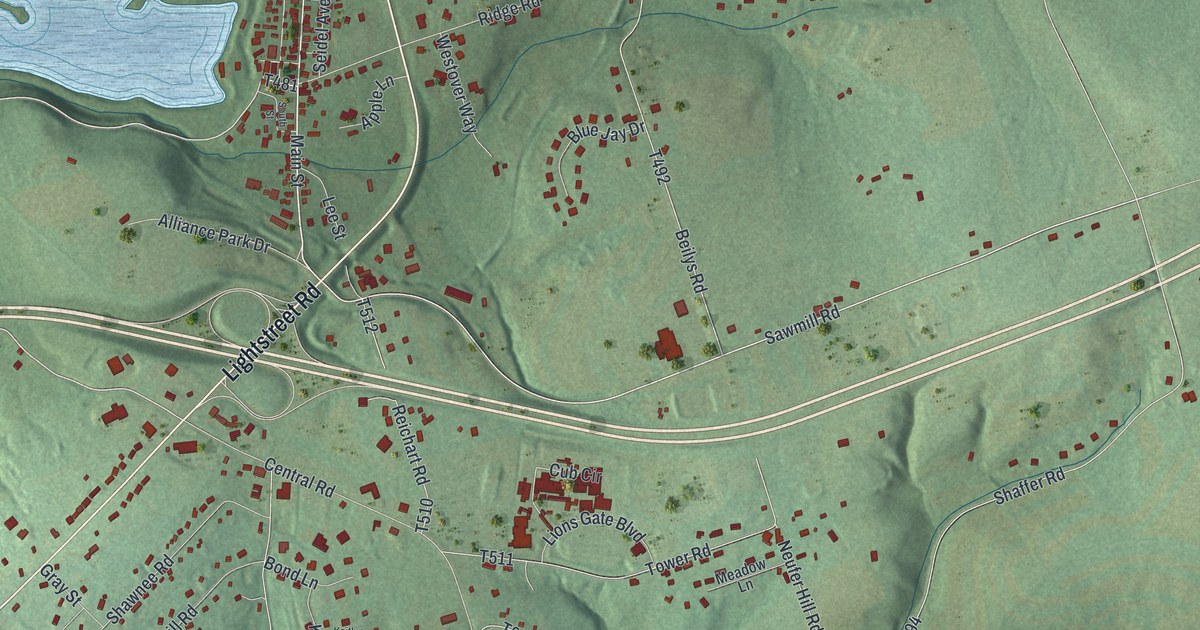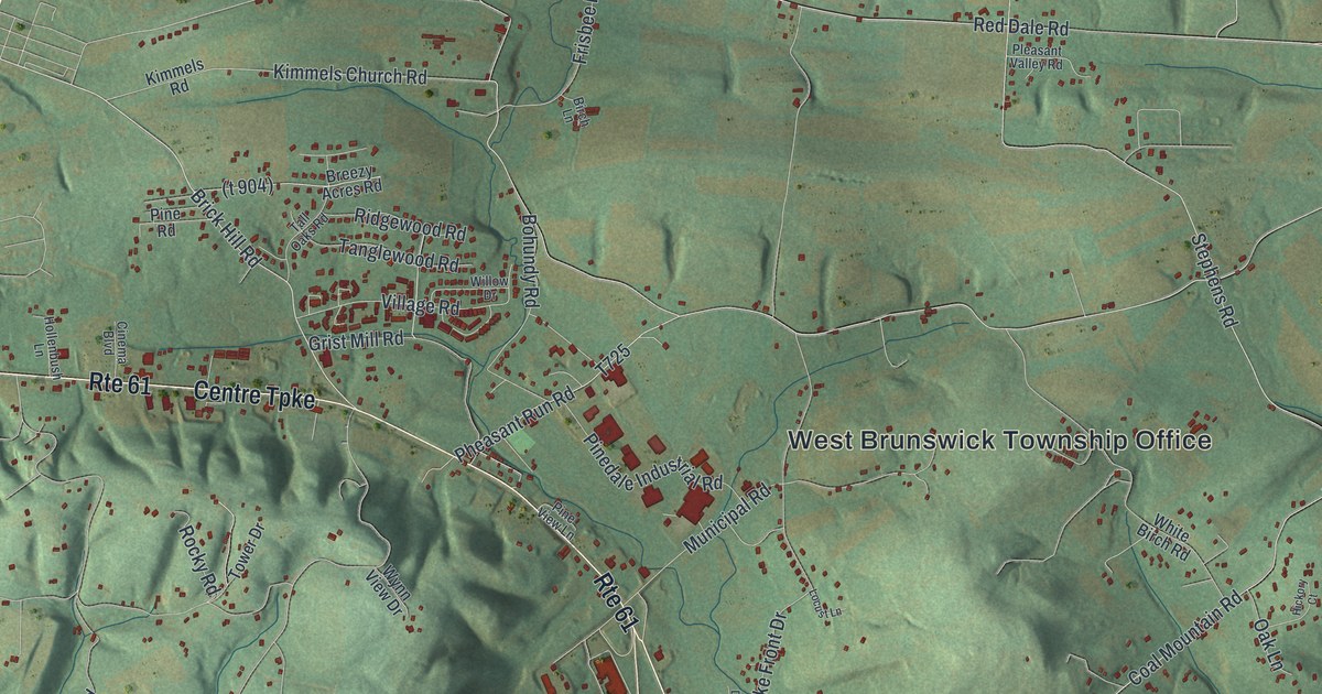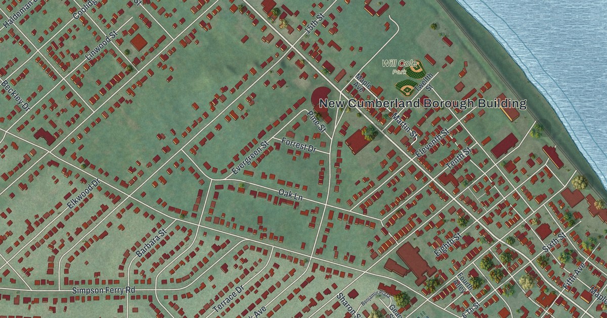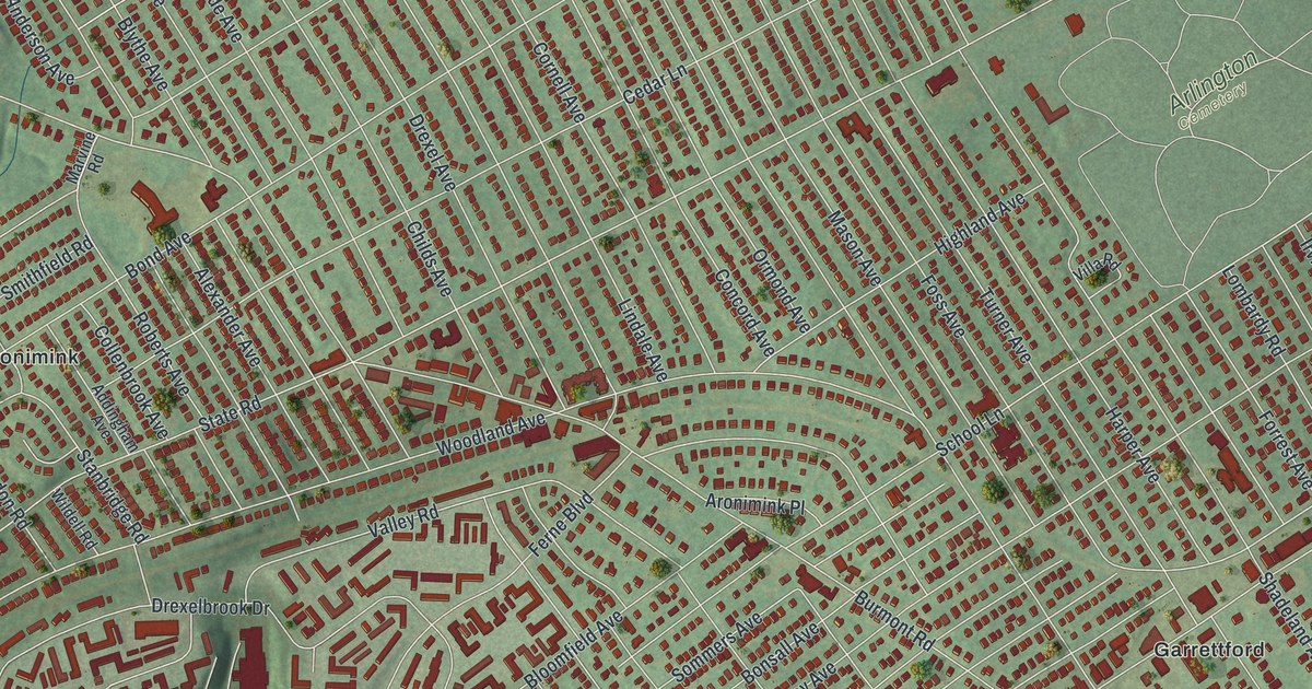
If you grew up on a side street off Garrett Road or State Road, or you still have family in Drexel Hill, this map was made for you. It's a modern aerial view of Drexel Hill in Delaware County, Pennsylvania, built from modern data and finished with a vintage feel. More than 17,000 buildings show up as small red shapes, packed tight along the streets. Soft green hills roll around the town, and a blue creek bends along the bottom of the sheet.
Garrett Road, Maple Avenue and a brave Quaker
On this map you'll find Garrett Road, State Road, East Township Line Road, Burmont Road, Shadeland Avenue, Maple Avenue, Drexel Avenue, Dermond Field, Arlington Cemetery, Pilgrim Park, White Rock Woods, Kent Park, Aronimink, Garrettford, Kellyville, and more. Each red shape is a building, so zoom in on the preview and look for yours.
Thomas Garrett was born near here, at a farm called Riverview. He was a Quaker and a leader of the Underground Railroad. In 1822 he moved to Wilmington, Delaware. From there he sent many people escaping slavery north to his brothers. They took them in at Riverview, at Fernland Farms and at a place called Thornfield. Garrett worked with Harriet Tubman and William Still. He was taken to court and fined, but he kept going. He helped 2,700 freedom seekers in all. Today a state historical marker tells his story where Garrett Road meets Maple Avenue. Both roads are printed on the map, so you can put a finger right on the spot.
Dr. George Smith and Collen Brook Farm
Drexel Hill has another story tied to an old farm. Dr. George Smith came to Collen Brook in 1829, when he married Mary Lewis. Her family had held the land since the 1700s. Smith was a doctor, a judge and a state senator. He wrote a history of Delaware County in 1862. As a senator, he also wrote the 1836 law that gave Pennsylvania its first public school code. Collen Brook Farm is on the National Register of Historic Places. Look for Mansion Road, Marvine Road and Collenbrook Avenue to find its part of town.
A map of Drexel Hill, from Pilgrim Park to Kent Park
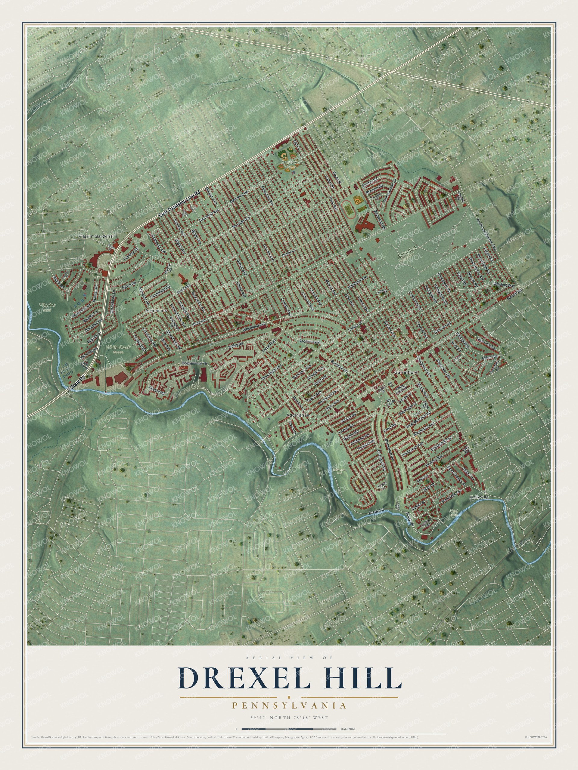
Created by KNOWOL in 2026, this print sets deep red buildings over soft green hills, with a blue creek curving along the bottom. The cream title panel reads "Aerial View of Drexel Hill, Pennsylvania" with the coordinates 39°57' North 75°18' West.
It fits a front hall, a living room or a home office. It's a good gift for someone who grew up near Dermond Field, or for a family member who moved away and still talks about Garrett Road. Open the preview and find your own street. See sizes and frames for the Drexel Hill map.