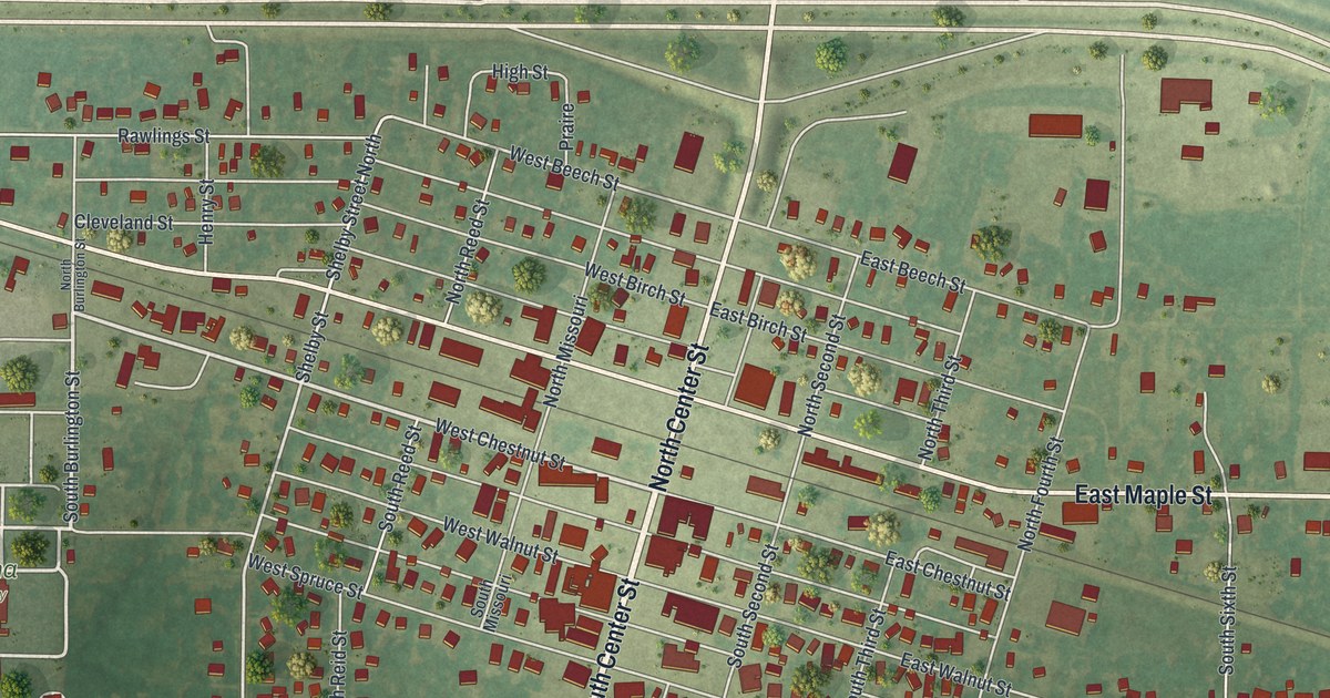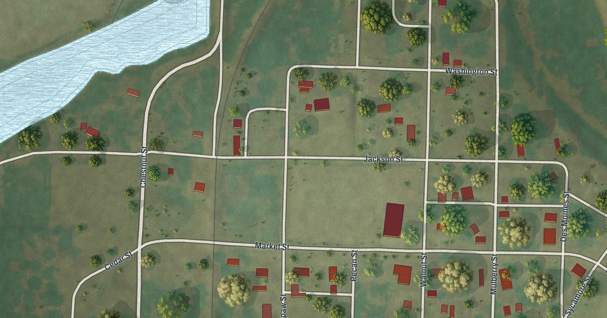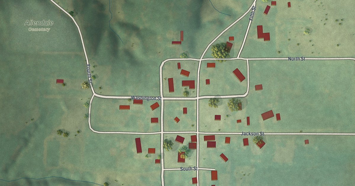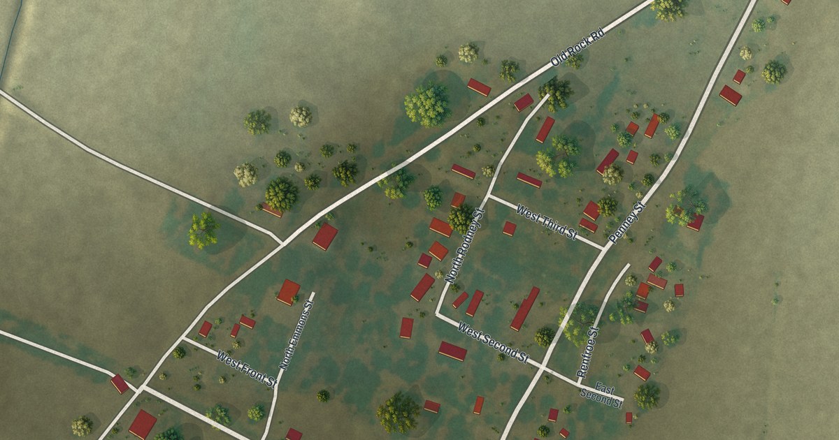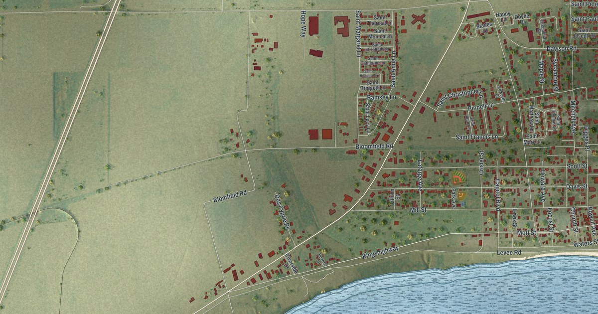
If you grew up in New Madrid, or you still have family on Main Street or Kingshighway, this map is for you. It's a modern aerial view of New Madrid in New Madrid County, Missouri, made with modern data and given a vintage feel. The town sits right on a wide bend of the river. Red building shapes fill its blocks near the water. Green farm fields stretch out to the north and west, and long green strips of land split the river below town.
New Madrid and the Earthquakes of 1811 and 1812
On this map you'll find Main Street, Kingshighway, Mott Street, Mill Street, Church Street, Scott Street, Levee Road, Dawson Road, Virginia Avenue, Missouri Avenue, Tennessee Avenue, Riverside Drive, Saint Francis Lane, Evergreen Cemetery, and more. Each red shape is a building, so zoom in on the preview and look for yours.
Why the Quakes Carry the Name New Madrid
In the early hours of December 16, 1811, the ground began to shake. The shaking came back again and again for nearly two months. New Madrid was the largest settlement in the region then. So the quakes took its name, and so did the seismic zone that caused them. The Missouri Encyclopedia says seven quakes, from magnitude 6.0 to 7.5, struck between December 16, 1811, and February 7, 1812. They were by far the largest ever east of the Rocky Mountains. People felt them as far away as New York City and Charleston, South Carolina.
What New Madrid Families Lived Through
A New Madrid woman named Eliza Bryan later told what the first shocks were like. She remembered a sound like deep thunder, trees cracking as they fell, the roar of the river and the smell of sulfur. Families fled their shaking homes and camped on higher ground. On Christmas Eve, nearly one hundred people came up from Little Prairie, a town hit even harder. They found New Madrid's people living in tents in open fields. For a short time, the river even ran backward.
Look along Levee Road at the bottom of town, and you'll see that same wide river curving past. It's the river Eliza Bryan heard roar that December. By late spring of 1812, only the hardiest people stayed. The town they held on to is still here, with 2,787 people in the 2020 count by the Census Bureau.
Keep New Madrid Close, from Main Street to Levee Road
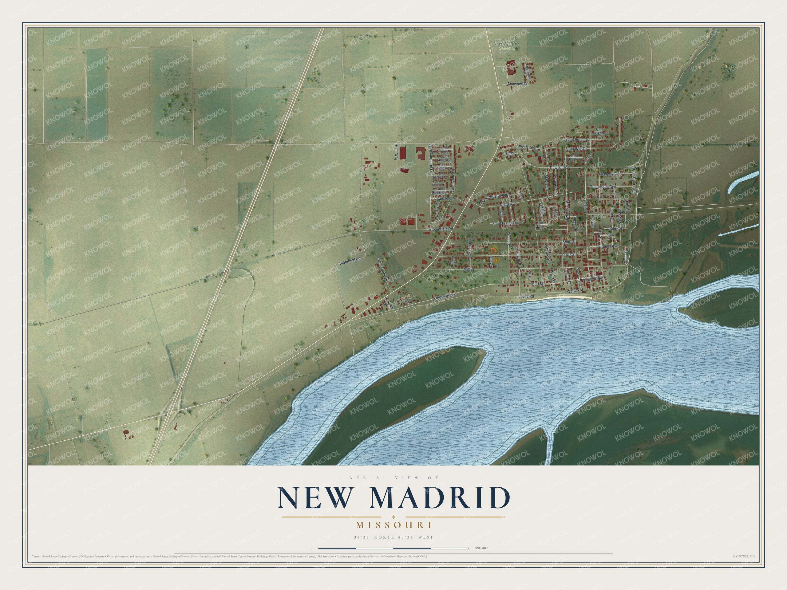
Created by KNOWOL in 2026, this print shows New Madrid from above in soft greens, with red building shapes and a wide blue river along the bottom. The title panel reads "Aerial View of New Madrid, Missouri" with 36°35' North 89°34' West printed below it.
It fits a living room, a front hall or a home office. It makes a good gift for someone who grew up on Main Street or near Evergreen Cemetery, and for anyone from New Madrid who has moved away. Open the preview and find your street. See sizes and frames for the New Madrid map.