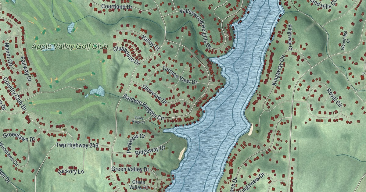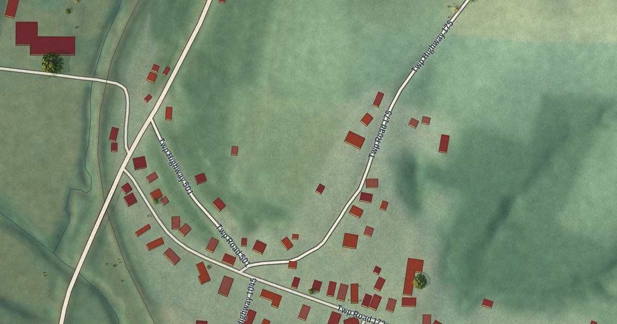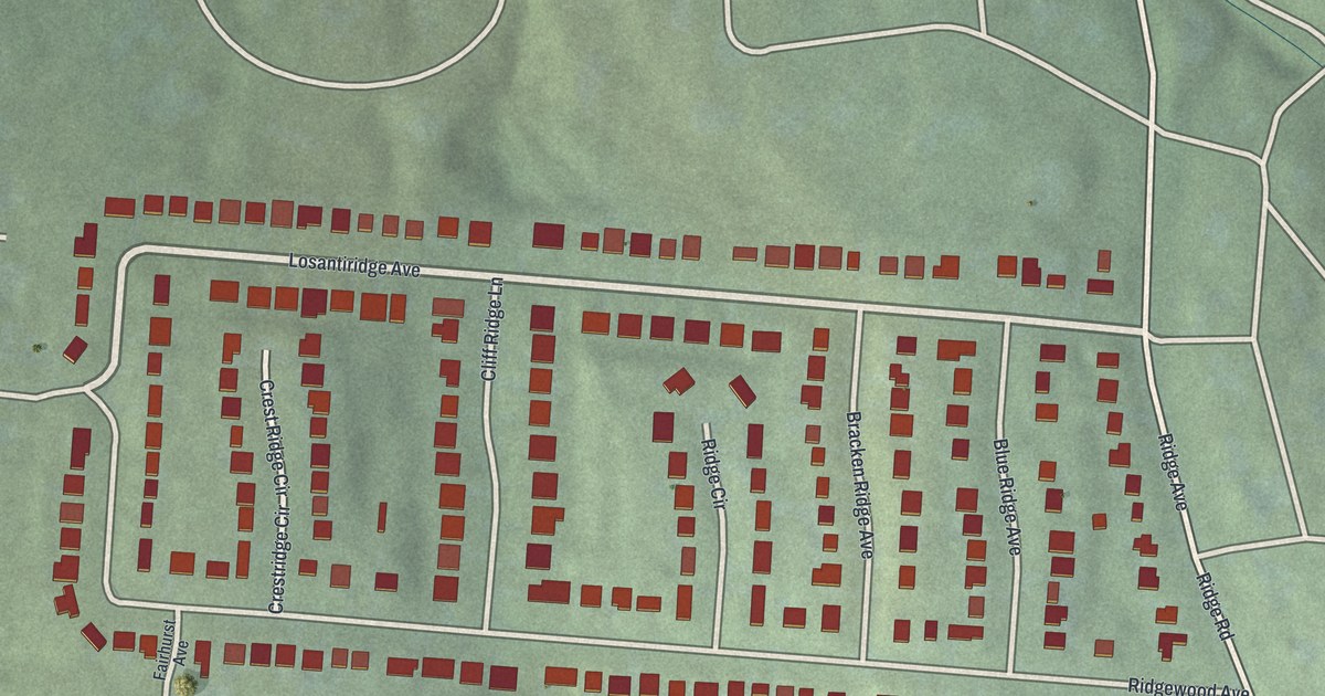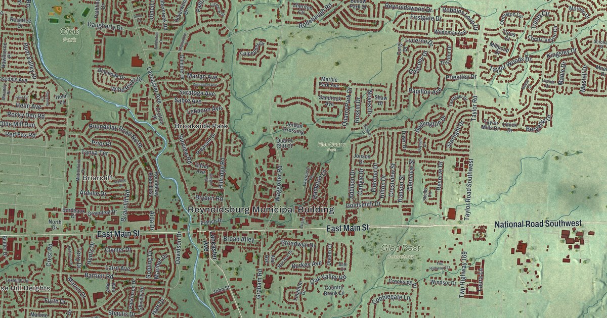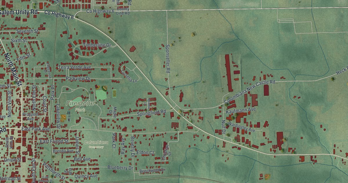
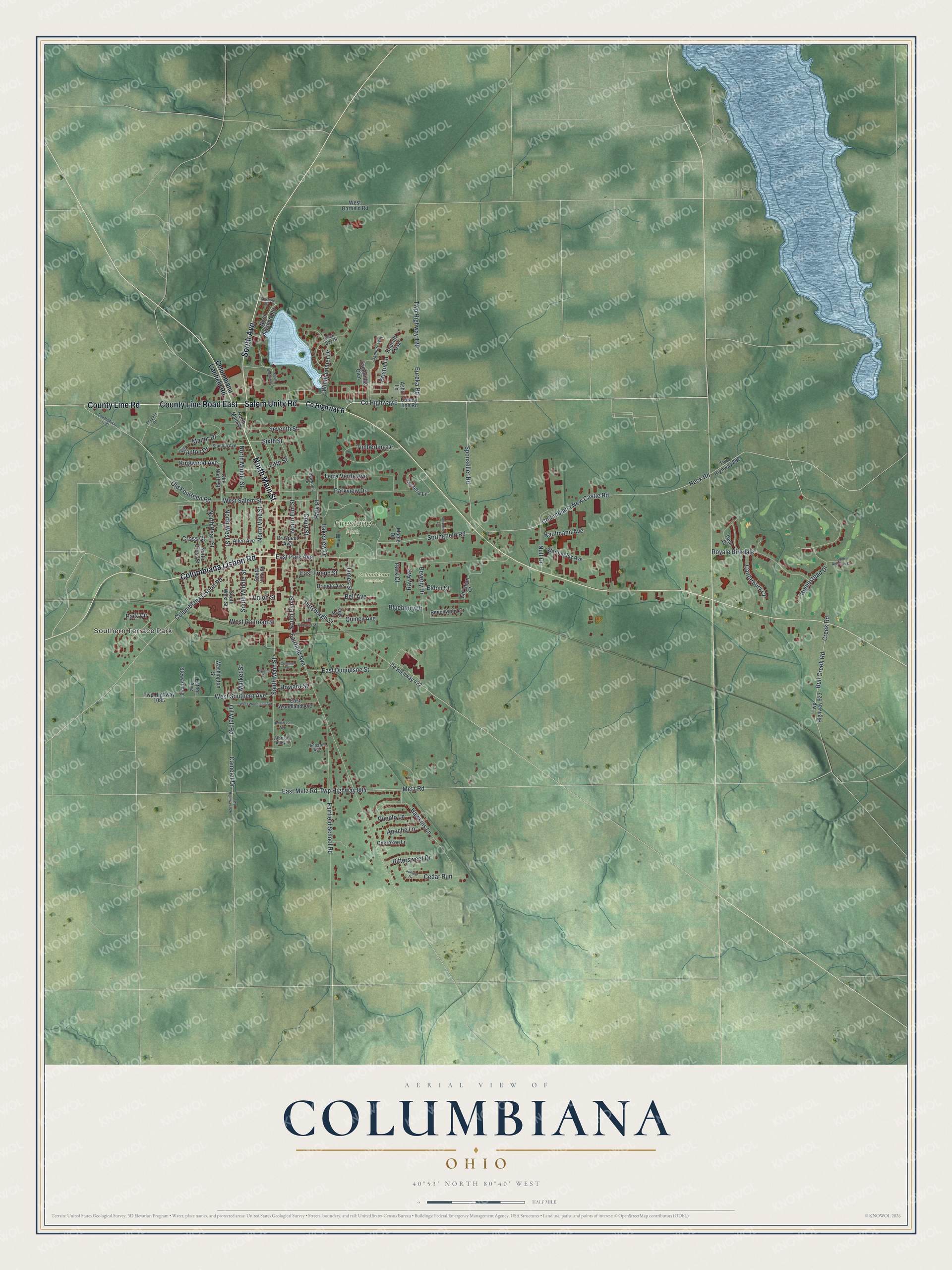
This beautifully detailed map of Columbiana, Ohio was created in 2026 using aerial imagery combined with modern topographical, census, street and landmark data. It’s a one-of-a-kind view of Columbiana that combines accurate data with a vintage aesthetic. The map shows every building in its true location, many of the roads carry their names, and the shaded topographic relief shows the shape of the land.
Explore an aerial view of Columbiana, Ohio
On the map you’ll find Southern Terrace Park, Columbiana Cemetery, and Firestone Park, along with County Line Road, County Line Road East, North Main Street, Salem Unity Road, Columbiana Lisbon Road, South Avenue, County Highway 6, Columbiana New Castle Road, Court Street, and more. If you look closely you can even find your house accurately drawn in its correct location. Zoom in on the preview to look for yours.
Did you know this piece of Columbiana, Ohio history?
Tire maker Harvey S. Firestone was born and grew up in Columbiana in the late 1800s. He later founded the Firestone Tire and Rubber Company. In 1933 the couple, Harvey and Idabelle Smith Firestone, gave 53 acres in the city for a park. Firestone Park opened in 1935.
Take a closer look at the Columbiana map
Street and place names on the Columbiana, Ohio map
These names are printed on the map of Columbiana, Ohio.
Places: Southern Terrace Park, Columbiana Cemetery and Firestone Park.
Streets and roads: County Line Road, County Line Road East, North Main Street, Salem Unity Road, Columbiana Lisbon Road, South Avenue, County Highway 6, Columbiana New Castle Road, Court Street, East Duquesne Street, South Elm Street, Nulf Drive.
More street names, A to Z
Albright Alley II, Allen Avenue, Apache Lane, Ashli Lane, Back Bay Drive, Bayshore Drive, Beechwood Drive, Bell Avenue, Beverly Drive, Bittersweet Drive, Blueberry Drive, Brenda Avenue, Bristol Lane, Bull Creek Road, Cambridge Glen, Camelot Drive, Canterbury Court, Cedar Run, Cherokee Lane, Christian Court, Colonial Drive, Columbiana Canfield Road, County Highway 422, Creek Road, Cross Court, Danbury Way, Deal Drive, East Friend Street, East Metz Road, East Park Avenue, East Railroad Street, East Woodland Avenue, Edgewood Drive, Eldon Court, Esther Avenue, Eureka Road, Fairfield Avenue, Fairfield School Road, Fifth Street, Hawkins Lane, Heck Road, Henderson Avenue, Homestead Drive, Howard Street, Hyland Court, James Street, Juniper Drive, Kaufmann Avenue, Kingwood Avenue, Lakeview Drive, Lucretia Lane, Manor Drive, Maple Drive, Market Street, Meadow Lane, Metz Road, North Bayshore Road, North Cross Street, North Elm Street, North Middle Street, North Pearl Street, North Vine Street, North West Street, Oak Street, Oil Well Road, Old Fourteen Road, Old North Street, Park Circle, Park Court, Park Place, Parkview Drive, Pittsburgh Street, Prospect Avenue, Pueblo Lane, Quincy Avenue, Radcliff Pass, Ray Avenue, Redpath Drive, Richards Avenue, Royale Birkdale, Saint Andrews Drive, Seventh Street, Sixth Street, South Bayshore Drive, South Main Street, South Middle Street, South Vine Street, South West Street, Sponseller Road, Springfield Road, Stanton Avenue, Stanton Drive, Stewart Avenue, Terra Verde Avenue, Timberline Drive, Twp Highway 129, Twp Highway 882, Twp Highway 884, Twp Highway 923, Twp Highway 926, Twp Highway 1085, Twp Highway 1713, Union Street, Wardingley Avenue, Washington Street, West Garfield Road, West Railroad Street, West Salem Street, West Southern Avenue, West Woodland Avenue, Windjammer Drive.
See the Columbiana, Ohio map on a wall
The Columbiana map as an 18 x 24 inch print in a black frame.

This beautifully detailed map of Columbiana makes an attractive addition to your office, library, or den, and it can even be used to teach children the geography and history of the area. It also makes a great gift for someone who left Columbiana and still calls it home. When you’re done exploring, click here to get your copy of the Columbiana map.