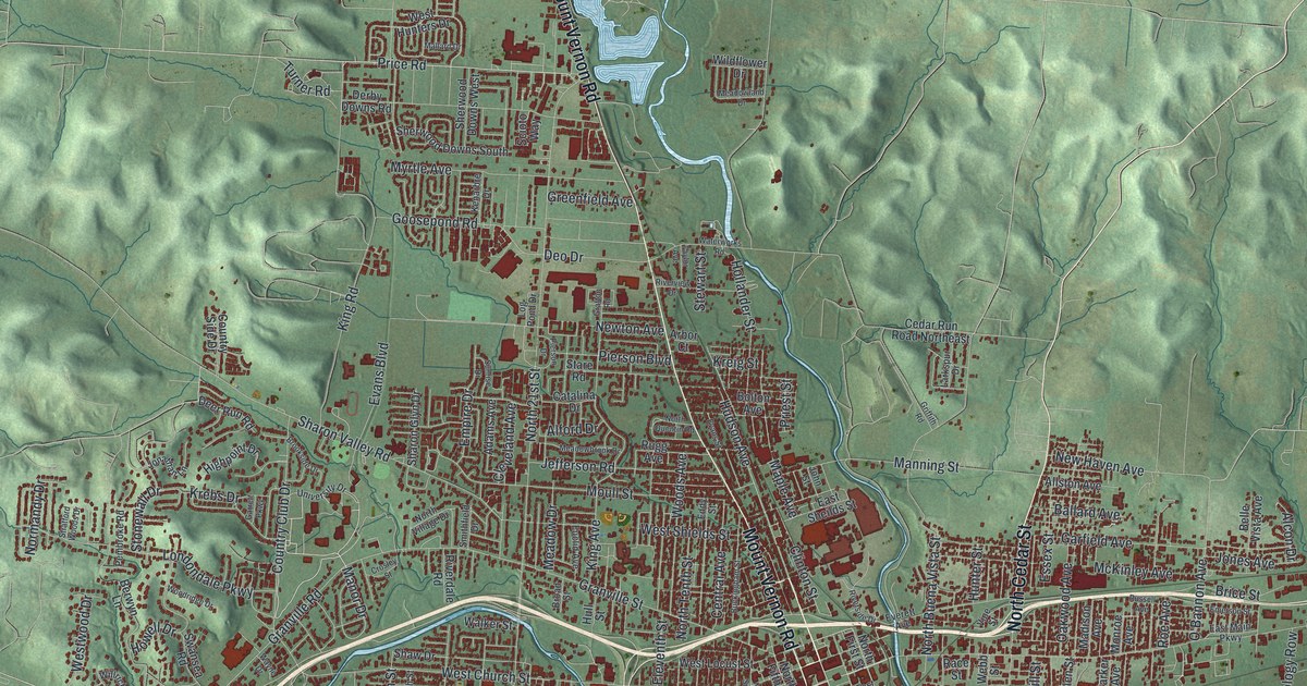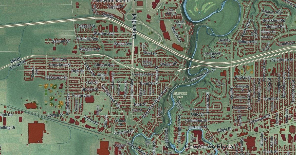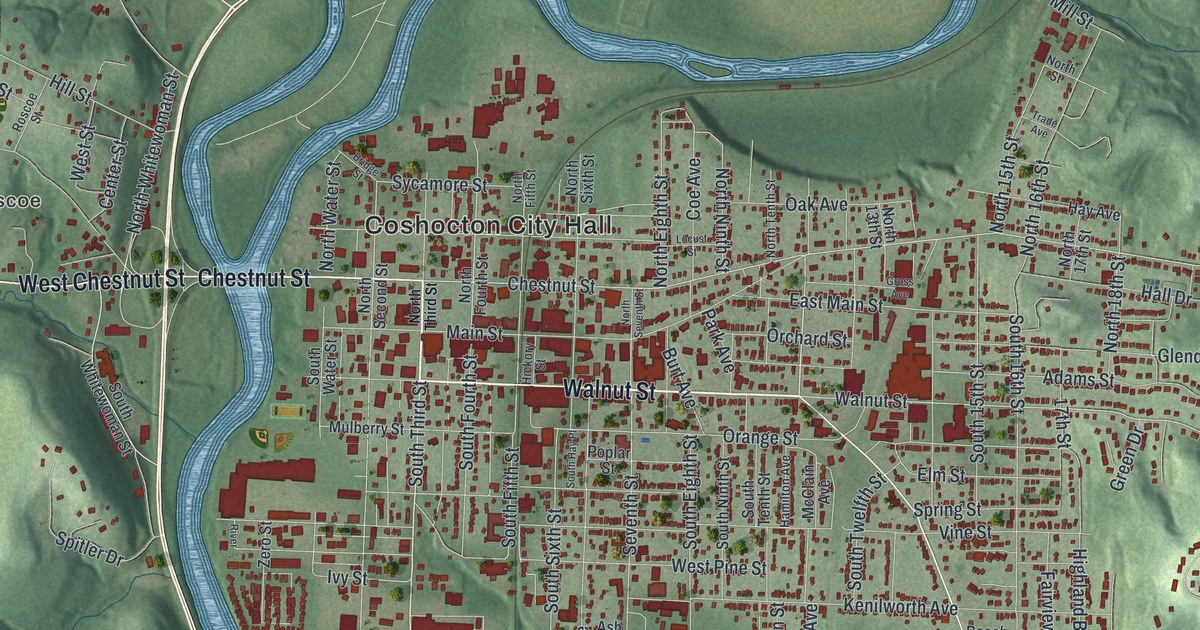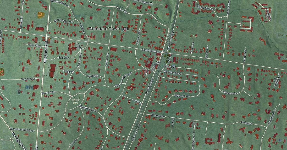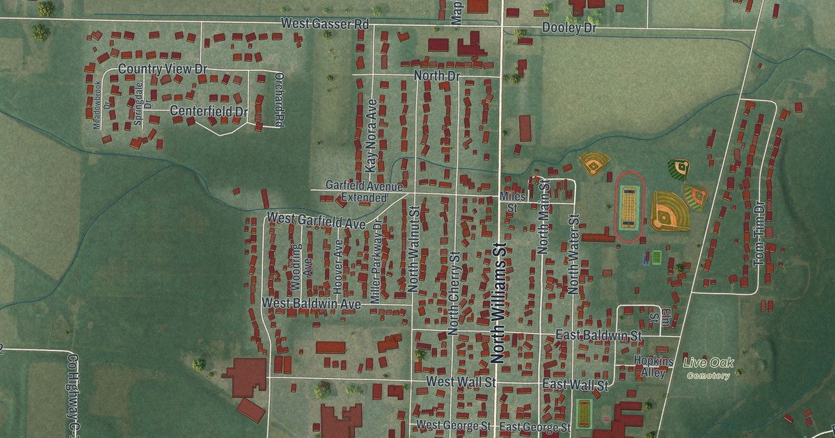
If you grew up in Paulding or still have family near the courthouse square, this map will feel like home. It's a modern aerial view of Paulding, the county seat of Paulding County, Ohio, made from modern data and given a vintage feel. Red buildings fill the blocks along North Williams Street, farm fields stretch out on every side, and a big square reservoir sits near the bottom of the sheet.
North Williams Street and the blocks around it
On this map you'll find North Williams Street, South Williams Street, North Main Street, South Main Street, East Perry Street, West Wayne Street, East Jackson Street, West Caroline Street, Fairground Drive, Reservoir Drive, Paulding County Fairgrounds, Live Oak Cemetery, and more. Each red shape is a building, so zoom in on the preview and look for yours.
The first county Carnegie library in the United States
In 1912, Paulding's Public Library Association asked Andrew Carnegie for money to build a library. At first, the Carnegie Corporation of New York said no. It only paid for libraries in places with more people. So the library group made a new offer. The library would serve the whole county, not just the village. The county had enough people, and the answer changed to yes. According to the Ohio historical marker, that made Paulding the home of the first county Carnegie library in the United States. The library stands at 205 South Main Street. It's on the National Register of Historic Places, and it still serves everyone in Paulding County.
How Paulding became the county seat
The courthouse is just a short walk from the library. Its county marker stands near North Williams Street and East Perry Street. The county seat was at New Rochester first, then at Charloe. Neither village is still there today. Paulding became the county seat in 1851. The courthouse you see now was finished in 1888, during the region's timber boom. It has four faces, and it's on the National Register too.
From Live Oak Cemetery to the Paulding County Fairgrounds
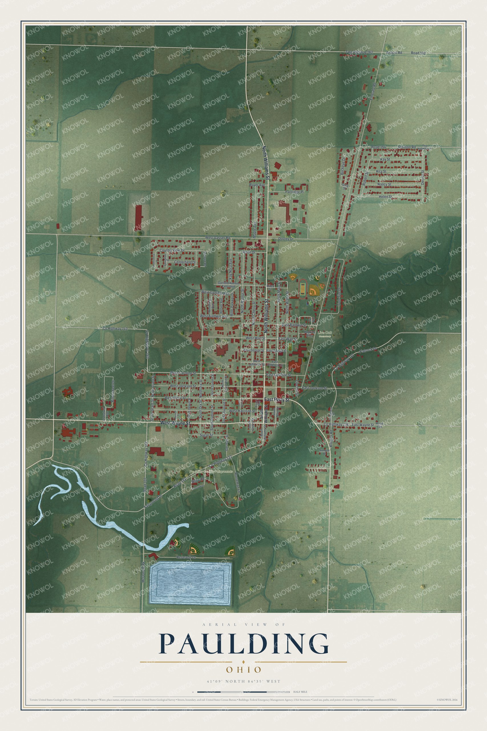
Created by KNOWOL in 2026, this print shows Paulding from above in soft greens, with red buildings, white roads and blue water. The title panel reads "Aerial View of Paulding, Ohio" with 41°09' North 84°35' West beneath it.
It fits well in a living room, a front hall or a home office. It's a good gift for anyone who spent summers at the Paulding County Fairgrounds or borrowed books from the library on South Main Street, even if they've moved far away. Open the preview and find your street. See sizes and frames for the Paulding map.