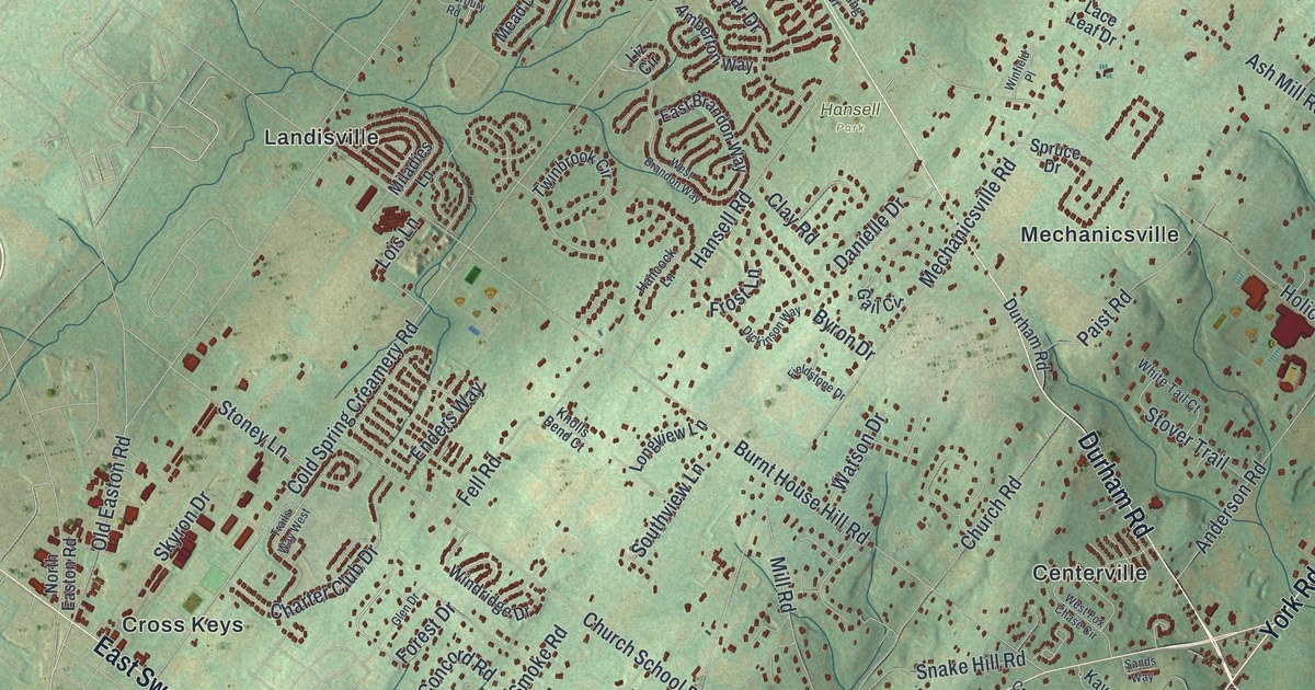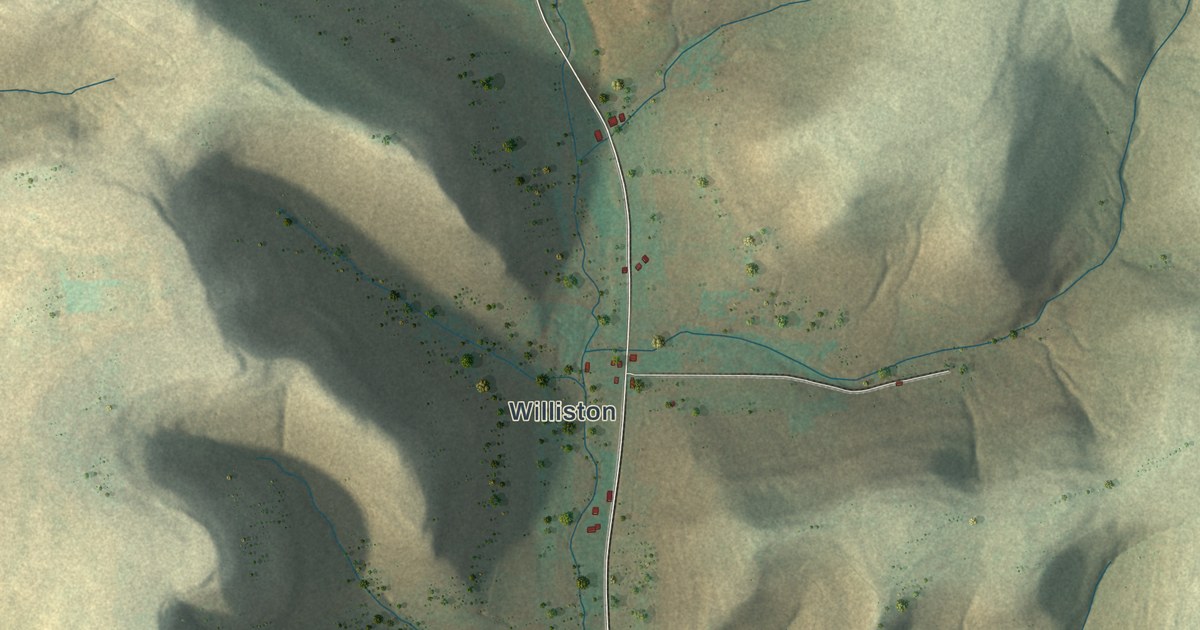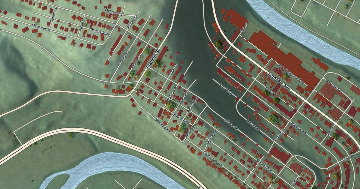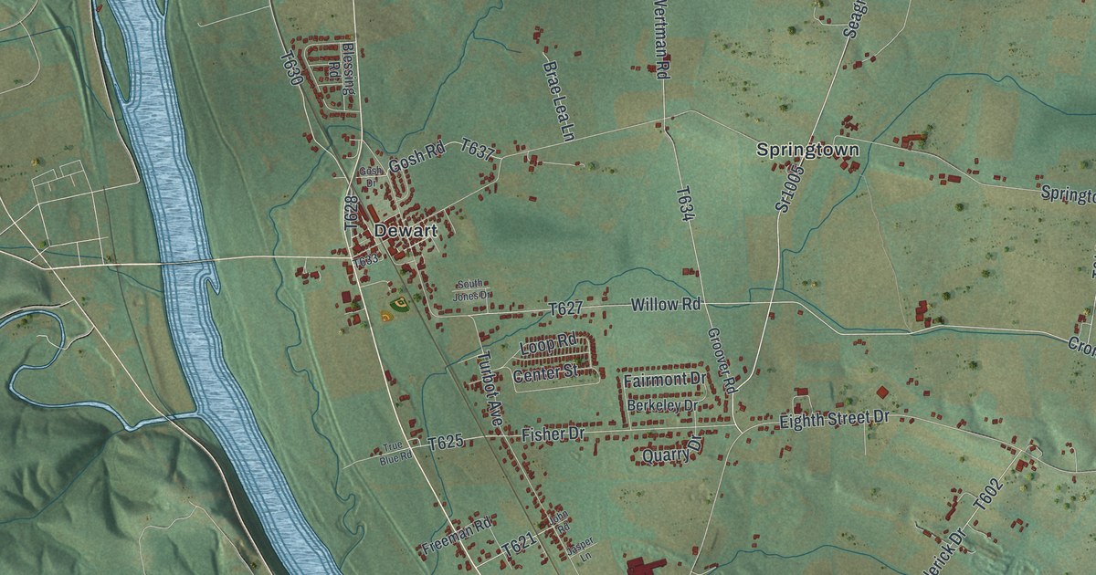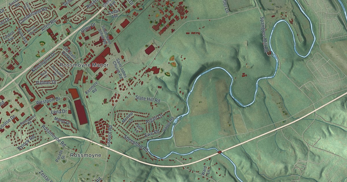
If you grew up in Allendale, Cedar Cliff or Rossmoyne, this map will look like home. It's a modern aerial view of Lower Allen Township in Cumberland County, Pennsylvania, made from modern data with a vintage feel. Red buildings fill the north side, from Windsor Park over to Allendale. Green hills roll across the south, down to Lisburn. A blue creek winds between them.
Eberlys Mill and Daniel Drawbaugh's Telephone
On this map you'll find Simpson Ferry Road, Gettysburg Road, Lisburn Road, Cedar Cliff Drive, Sheepford Road, Slate Hill Road, Hummel Avenue, Beacon Hill Boulevard, Lower Allen Township Office, Eberlys Mill, Highland Park, Raven Hill, Rossmoyne Manor, Windsor Park, and more. Each red shape is a building, so zoom in on the preview and look for yours.
Look near the top center of the map for Eberlys Mill. Daniel Drawbaugh was born in this village on July 14, 1827. He stayed and worked on his inventions here. One of them was a telephone. He asked for a patent on it in 1880. Bell Telephone challenged his claim, and Bell won the court case in 1888. A state historical marker in the village tells his story today. In 1904 he moved to Camp Hill, where he died in 1911.
Close by, Green Lane Drive crosses the Yellow Breeches Creek at Etters Bridge. The bridge was added to the National Register of Historic Places in 1986.
From Windsor Park to Lisburn
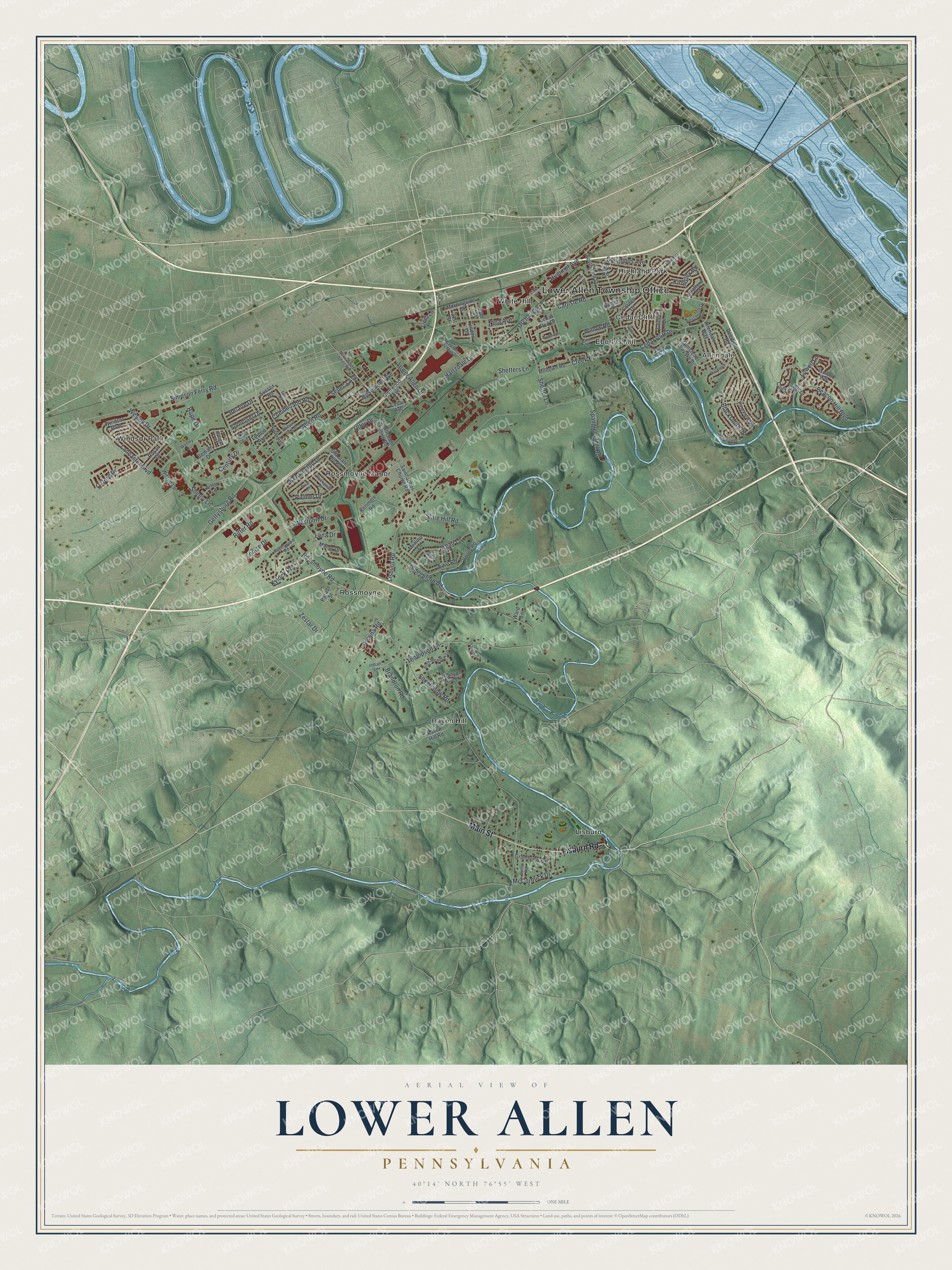
Created by KNOWOL in 2026, this print shows Lower Allen from above in soft greens, with shaded hills, blue water and red buildings. The title panel reads "Aerial View of Lower Allen, Pennsylvania" with the coordinates 40°14' North 76°55' West.
It fits a living room, a home office or the hallway by the front door. It's a good gift for someone who grew up near Cedar Cliff and has since moved away. Open the preview and find your street. See sizes and frames for the Lower Allen map.