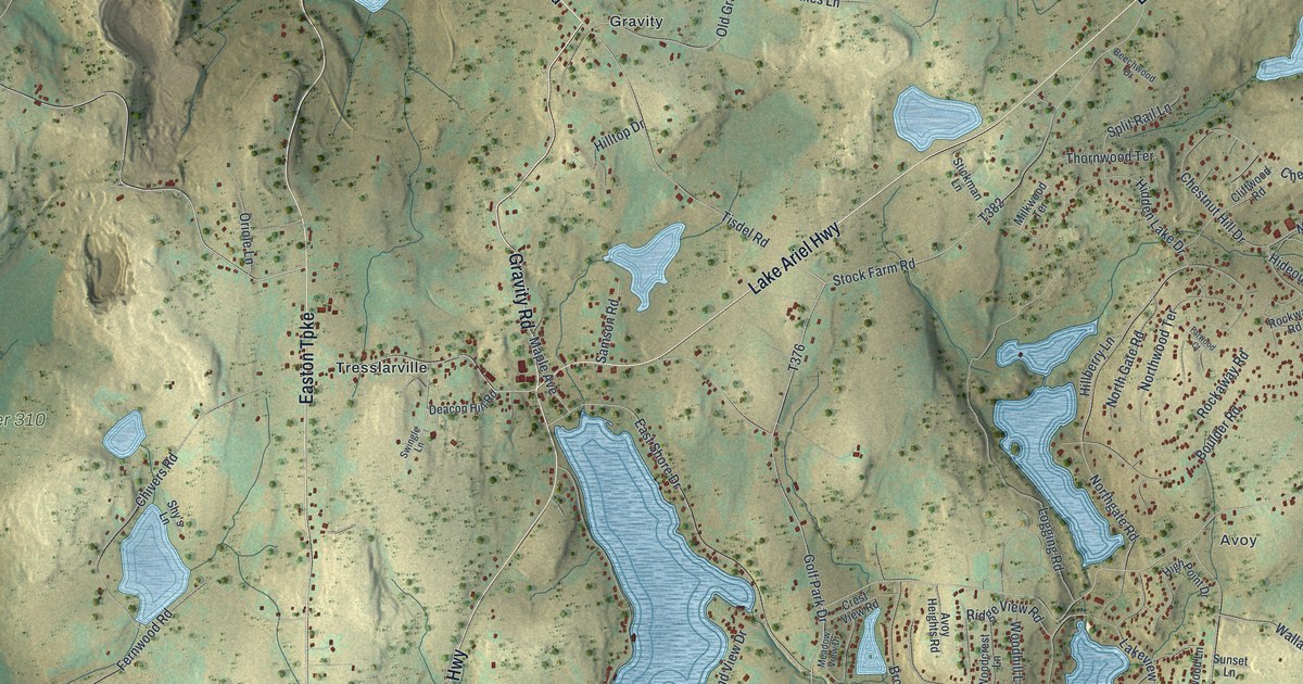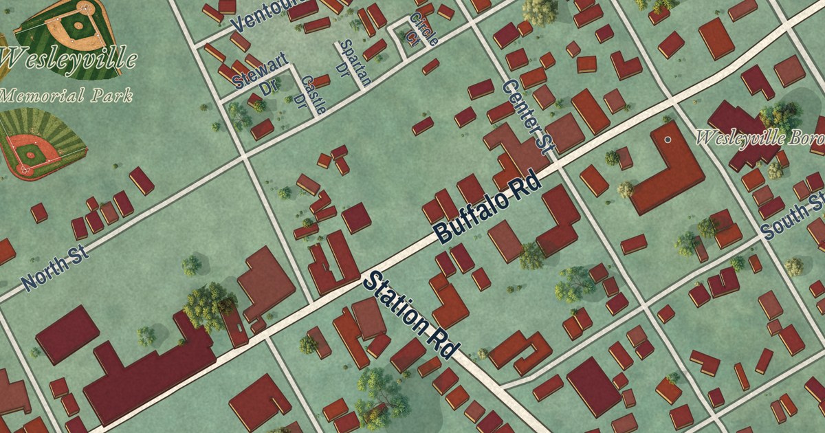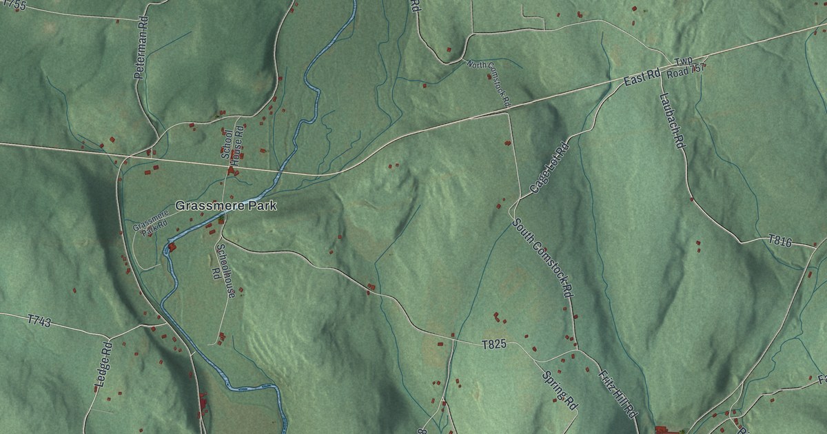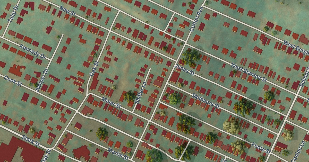
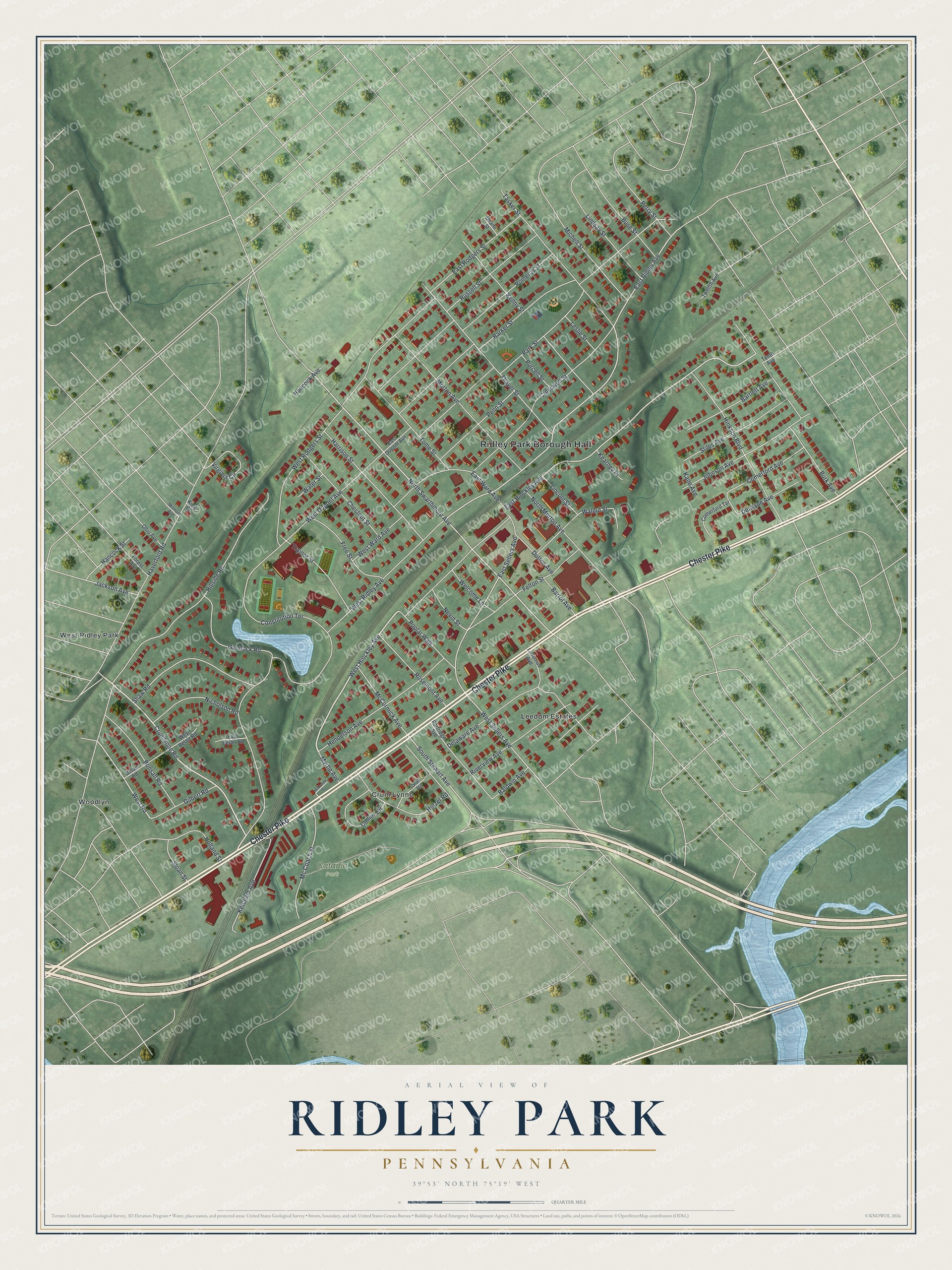
This beautifully detailed map of Ridley Park, Pennsylvania was created in 2026 using aerial imagery combined with modern topographical, census, street and landmark data. It’s a one-of-a-kind view of Ridley Park that combines accurate data with a vintage aesthetic. The map shows every building in its true location, many of the roads carry their names, and the shaded topographic relief shows the shape of the land.
Explore an aerial view of Ridley Park, Pennsylvania
On the map you’ll find Ridley Park Borough Hall, Catania Park, Crum Lynne, Leedom Estates, West Ridley Park, and Woodlyn, along with Chester Pike, Crumlynne Road, West Hinckley Avenue, North Swarthmore Avenue, West Road, East Ridley Avenue, and more. If you look closely you can even find your house accurately drawn in its correct location. Zoom in on the preview to look for yours.
Did you know this piece of Ridley Park, Pennsylvania history?
From the 1884 History of Delaware County, Pennsylvania: "Two lots were donated by the Ridley Park Association on which to erect a church, and on May 7, 1873, the corner-stone of a chapel was laid."
Take a closer look at the Ridley Park map
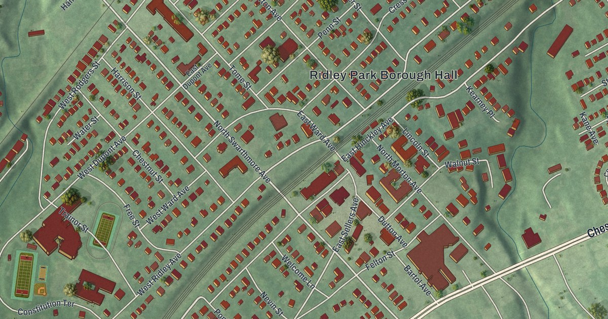
Street and place names on the Ridley Park, Pennsylvania map
These names are printed on the map of Ridley Park, Pennsylvania.
Places: Ridley Park Borough Hall, Catania Park, Crum Lynne, Leedom Estates, West Ridley Park and Woodlyn.
Streets and roads: Chester Pike, Crumlynne Road, West Hinckley Avenue, North Swarthmore Avenue, West Road, East Ridley Avenue, East Hinckley Avenue, West Sellers Avenue, Haverford Road, West Ridley Avenue, Park Street, East Rodgers Street.
More street names, A to Z
Baldwin Avenue, Barker Street, Bartlett Avenue, Bartol Avenue, Belair Road, Bonsall Road, Burk Avenue, Buse Street, Chestnut Street, Collier Circle, Comerford Avenue, Comerford Terrace, Constitution Terrace, Cresswell Street, Deakyne Avenue, Deane Street, Delaware Avenue, Dutton Avenue, East Belair Road, East Dupont Avenue, East Sellers Avenue, East Ward Avenue, Felton Street, Forest Avenue, Free Street, Gilbert Road, Glenlock Road, Hancock Avenue, Hancock Street, Harrison Street, Henderson Avenue, Hetzel Road, Hillside Road, Hinkson Boulevard, Holland Street, Jackson Avenue, Johnson Avenue, Kane Avenue, Kearney Place, Kenny Street, Ketcham Avenue, King Court, Ladomus Avenue, Leslie Street, Lincoln Street, Lindsay Street, Mc Coach Street, McCoach Street, McCormick Avenue, Michell Street, Milmont Avenue, Morton Avenue, Myrtle Avenue, Nevin Street, Nicholson Road, North Morton Avenue, Ohio Avenue, Partridge Avenue, Penn Street, Perry Street, Pomeroy Street, Poplar Walk, Purcell Street, Riverview Avenue, Rosemont Avenue, Russell Street, Shaw Road, Sloan Street, South Stewart Avenue, Stiles Avenue, Stull Road, Tasker Street, Tenth Avenue, Thayer Street, Tome Street, Trainor Street, Twelfth Avenue, Virginia Circle, Walnut Street, Water Street, Welcome Lane, West Belair Road, West Dupont Avenue, West Rodgers Street, West Ward Avenue.
See the Ridley Park, Pennsylvania map on a wall
The Ridley Park map as an 18 x 24 inch print in a black frame.

This beautifully detailed map of Ridley Park makes an attractive addition to your office, library, or den, and it can even be used to teach children the geography and history of the area. It also makes a great gift for anyone with Ridley Park roots. When you’re done exploring, click here to get your copy of the Ridley Park map.