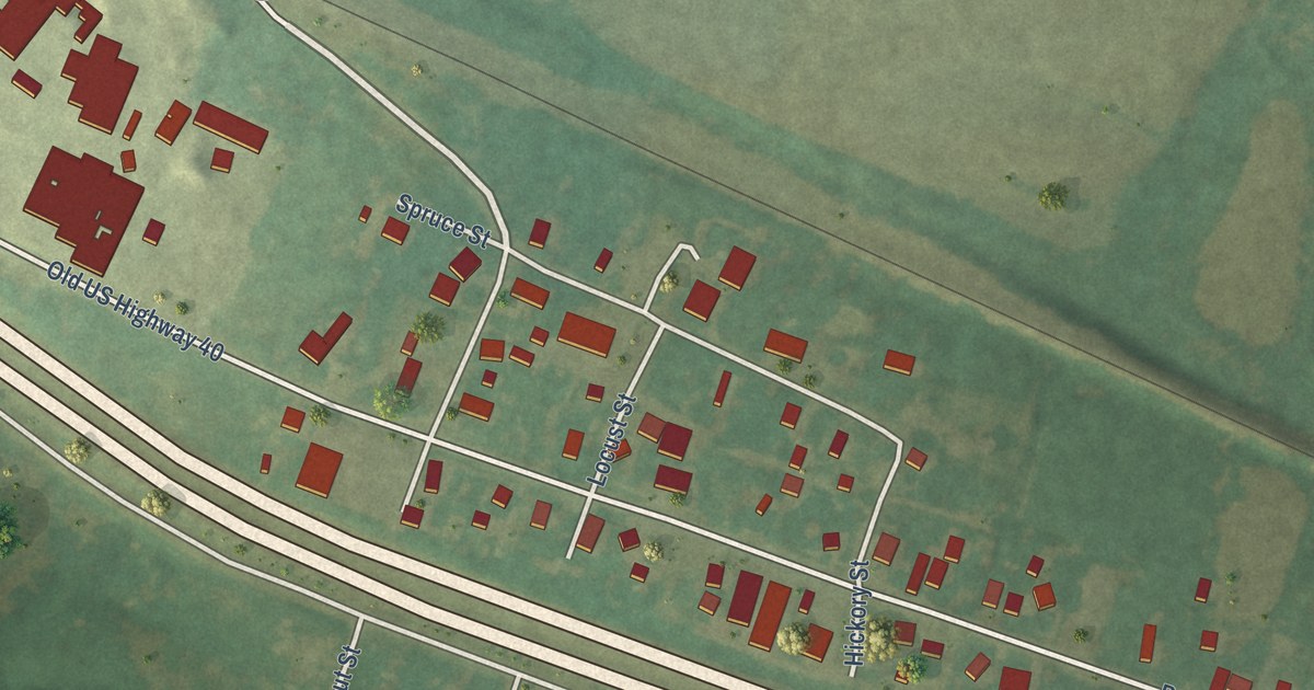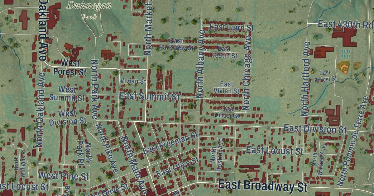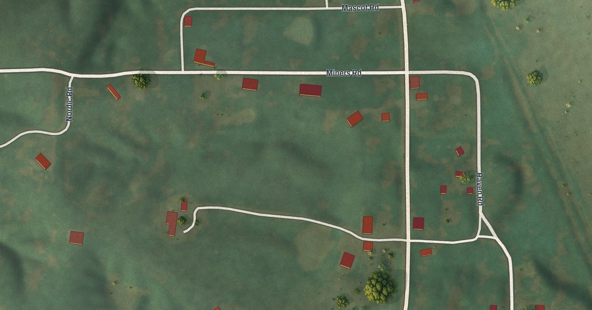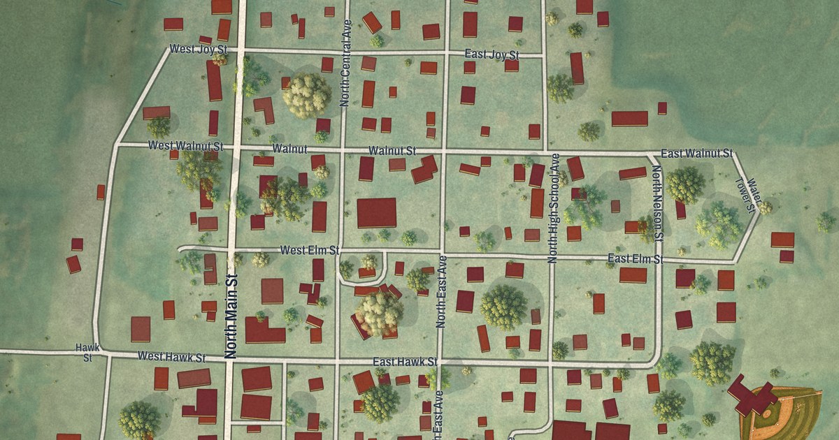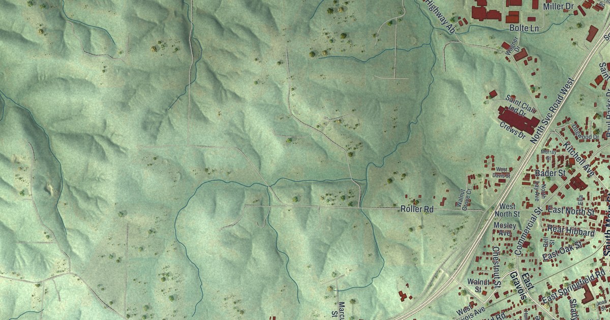
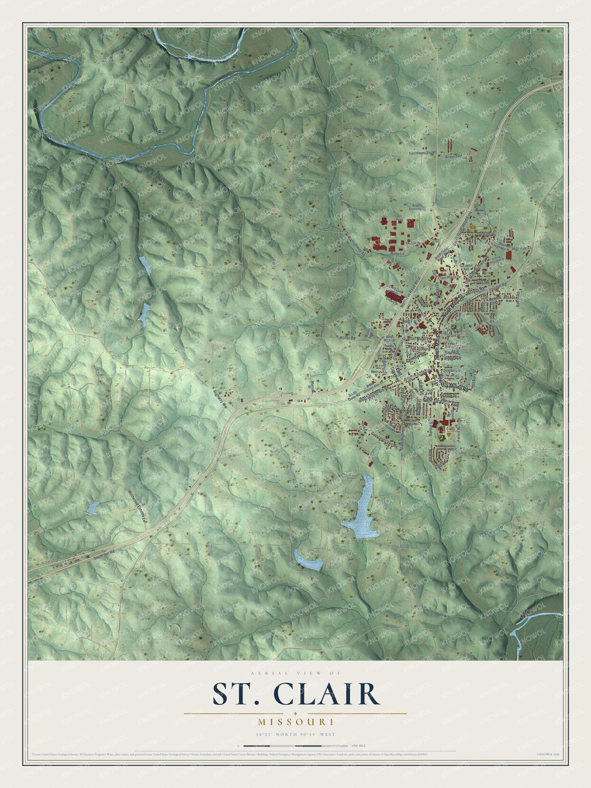
This beautifully detailed map of St. Clair, Missouri was created in 2026 using aerial imagery combined with modern topographical, census, street and landmark data. It’s a one-of-a-kind view of St. Clair that combines accurate data with a vintage aesthetic. The map shows every building in its true location, many of the roads carry their names, and the shaded topographic relief shows the shape of the land.
Explore an aerial view of St. Clair, Missouri
On the map you’ll find Orchard Park and Rear Hibbard, along with Virginia Mines Road, East Gravois Avenue, North Main Street, South Main Street, Kitchell Avenue, Park Avenue, Commercial Street, East Springfield Road, East Oak Street, and more. If you look closely you can even find your house accurately drawn in its correct location. Zoom in on the preview to look for yours.
Did you know this piece of St. Clair, Missouri history?
From the State Historical Society of Missouri: "When the railroad went through, on April 12, 1859, the name of the post office was changed to St. Clair, in honor of a resident civil engineer of the St. Louis and San Francisco Railroad, then known as the southwest Branch Railroad."
Take a closer look at the St. Clair map
Street and place names on the St. Clair, Missouri map
These names are printed on the map of St. Clair, Missouri.
Places: Saint Clair and Orchard Park.
Streets and roads: Virginia Mines Road, East Gravois Avenue, North Main Street, South Main Street, Kitchell Avenue, Park Avenue, Commercial Street, Rear Hibbard, East Springfield Road, East Oak Street, South Outer Road East, Old State Highway 66.
More street names, A to Z
Airport Road, Albany Avenue, Andrew, Angels Crossing Drive, Ann Street, Arizona Avenue, Bader Street, Baker Road, Bardot Street, Baskett Street, Bell Street, Bolte Lane, Cardwell Avenue, Carl Street, Casey Avenue, Chestnut Street, Crescent Lake Road, Crest Street, Crews Drive, Cynthia Lane, Deer Creek, Diane Street, Dogwood Drive, East Gravois, East Happy Sac Road, East North Street, Ella, Ferdinand Street, Forest Hills Drive, Franklin Drive, Grant Street, Hamilton Street, Happy Sac Road, Harbor Lane, Hickory Street, Highway Tt, Highway Ww, Iron Hill Road, Jean Street, Kingsley Drive, Lee Court, Lofting Industrial Drive, Marcus Street, Martin Drive, Maupin Street, Meadow Drive, Meadow Oaks Drive, Michelle Drive, Miller Drive, Moselle Road, Mosley Avenue, Murray Street, Neff Road, North Lay Avenue, North Svc Road West, Oak Ridge Drive, Oak Ridge Estates Drive, Orchard Drive, Pami Street, Park Drive, Partridge Court, Paul Parks Drive, Peterson Road, Quail Ridge Drive, Red Bird Lane, Ridge Avenue, Roller Road, Saint Clair Ind Drive, Saint Clair Plaza Drive, Sara Jane Lane, School Drive, Shady Street, South Lay Avenue, South Outer Road, South Outer Road West, South Svc Road, State Highway Ab, State Highway Pp, State Highway Tt, Tlc Parkway, Treva Lane, Wagner Drive, Wall Street, Walnut Grove Court, Walnut Street, West Davis Street, West Gravois Avenue, West North Street, West Springfield Road, Wildwood Estates Lane.
See the St. Clair, Missouri map on a wall
The St. Clair map as an 18 x 24 inch print in a black frame.

This beautifully detailed map of St. Clair makes an attractive addition to your office, library, or den, and it can even be used to teach children the geography and history of the area. It also makes a great gift for anyone who grew up in St. Clair or moved away. When you’re done exploring, click here to get your copy of the St. Clair map.