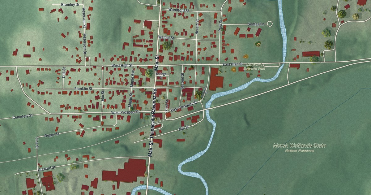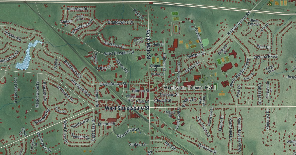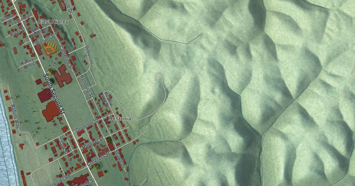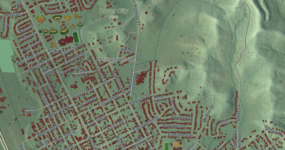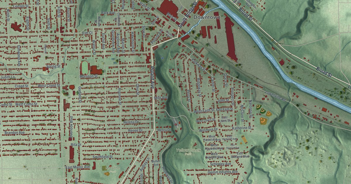
If you grew up walking Poland Avenue or spent summer days in Yellow Creek Park, this map is for you. It's a modern aerial view of Struthers in Mahoning County, Ohio, made from modern data and given a vintage artistic feel. Downtown sits at the top, where South Bridge Street and North Bridge Street cross a wide blue river. The long, even blocks spread out to the west, and a green creek valley cuts down through the middle of town. Near the bottom, a big blue lake curves along Poland Avenue.
Hopewell Furnace at Yellow Creek Park
On this map you'll find Poland Avenue, Broad Street, South Bridge Street, North Bridge Street, Fifth Street, Terrace Street, Wetmore Drive, Lowellville Road, Youngstown Poland Road, East Midlothian Boulevard, Yellow Creek Park, Mauthe Park, Bob Cene Field, and more. Each red shape is a building, so zoom in on the preview and look for yours.
Iron making in Ohio started right here. In 1802, brothers Daniel and James Eaton built the Hopewell Furnace. It began work in 1803. It was the first blast furnace in Ohio. It was also one of the first west of the Allegheny Mountains. The Eatons ran it until 1808 and made about two tons of iron a day. That furnace marked the start of the iron and steel business in the Mahoning Valley. Studies suggest it's the earliest furnace in North America known to burn a mix of coal and charcoal to make iron. An Ohio historical marker tells the story at the entrance to Yellow Creek Park. On the map, find the park label in the green valley near Wetmore Drive and Yellow Creek Circle.
The Frankfort House on Terrace Street
Alexander Frankfort was the last living Civil War veteran from Struthers. He built a house on Terrace Street in 1884. His daughter Alma grew up there and lived and worked in it as a seamstress for 93 years. In 1986 her nephews, the Mohr family, gave the house to the Struthers Historical Society. The society fixed it up, and the Frankfort House opened as a museum in 1989.
Keep Poland Avenue and Yellow Creek Park close
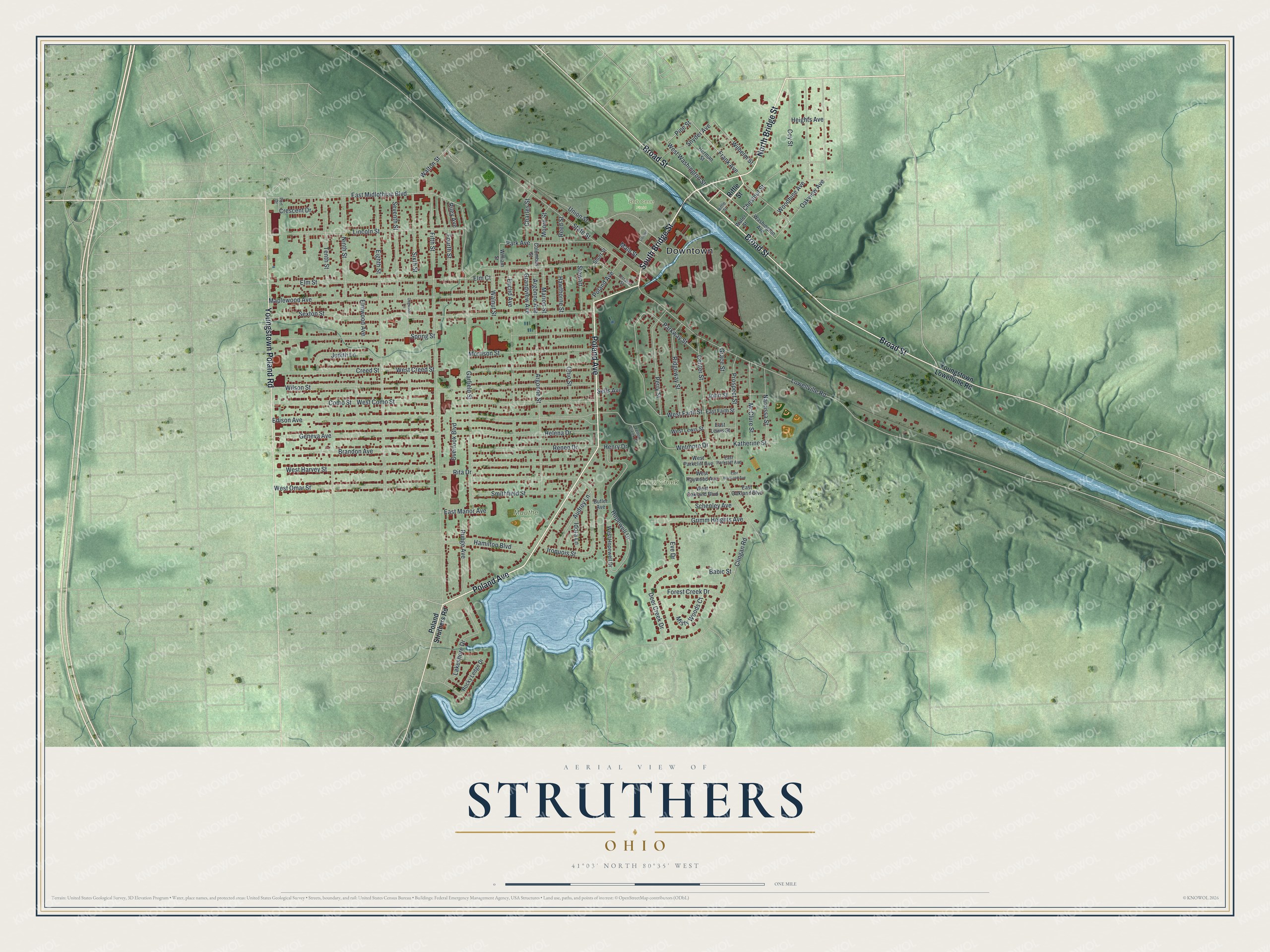
Created by KNOWOL in 2026. The print shows Struthers from above in soft greens, with shaded hills, a wide blue river, a blue lake and small red buildings. The title panel reads "Aerial View of Struthers, Ohio" with the line 41°03' North 80°35' West.
It fits a living room, a front hall or a home office. It's a good gift for someone who moved away, a family that still lives off Poland Avenue, or anyone who remembers Bob Cene Field. Open the preview and find your street. See sizes and frames for the Struthers map.