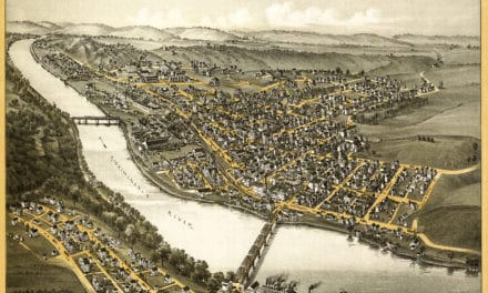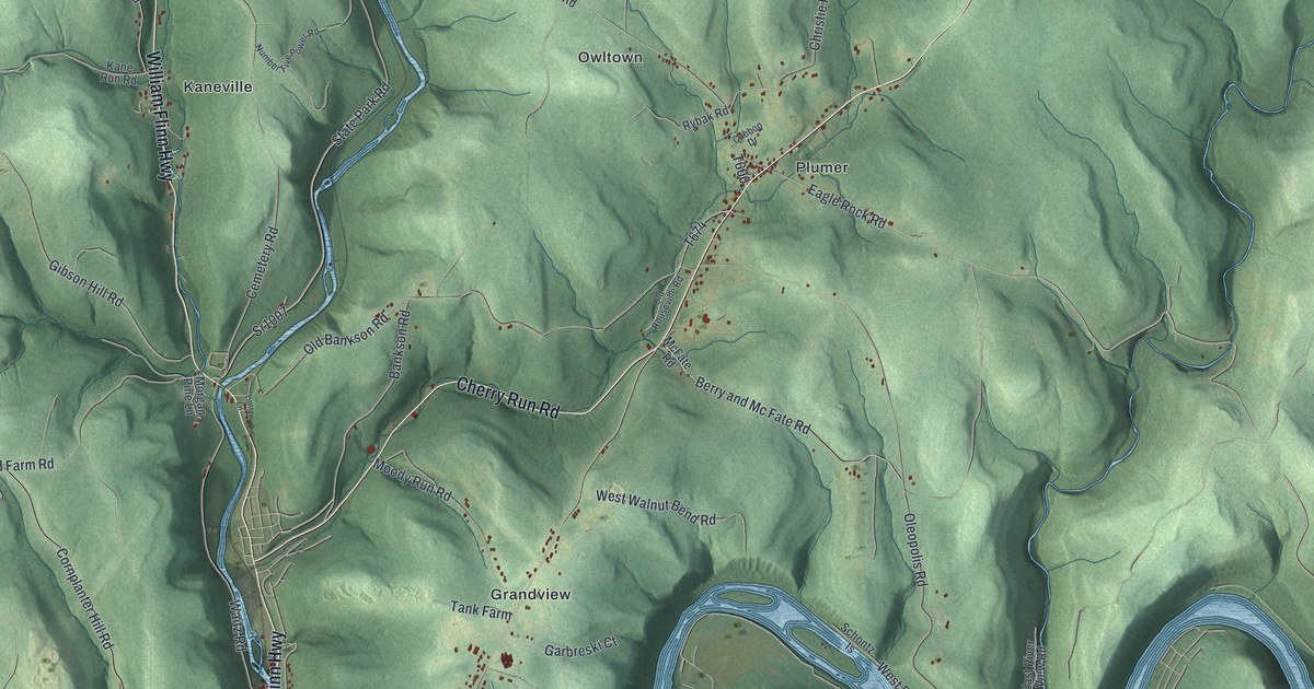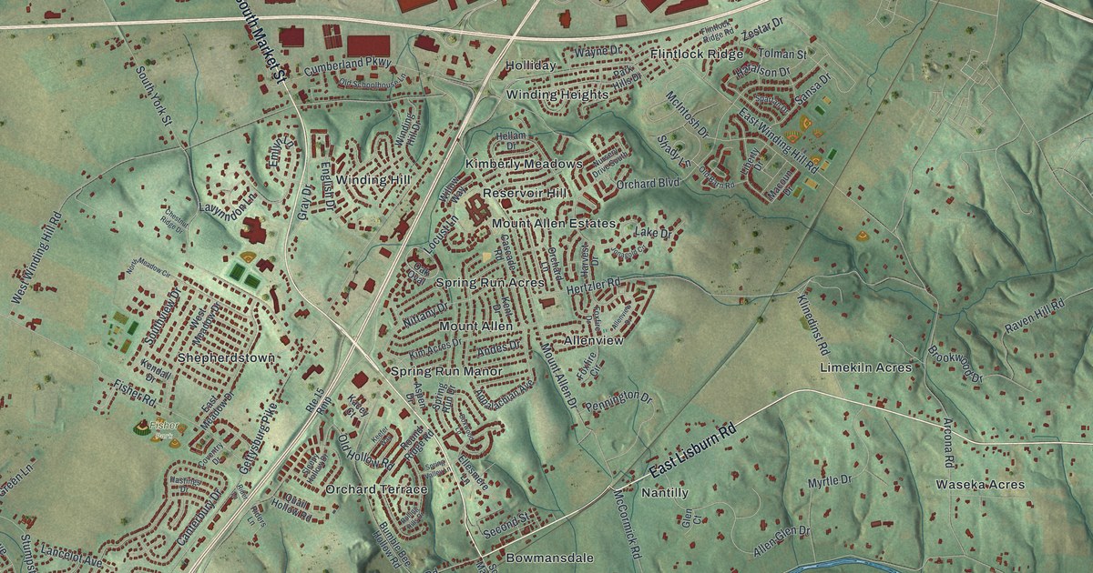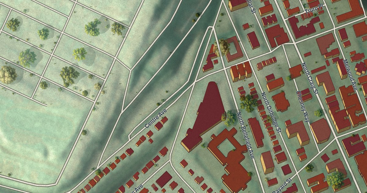
If you grew up in Swarthmore, look for your old street on this print. It's a modern aerial view of Swarthmore in Delaware County, Pennsylvania, made with modern data and a vintage feel. Red buildings stand out against green ground, with woods, playing fields, and a winding blue creek.
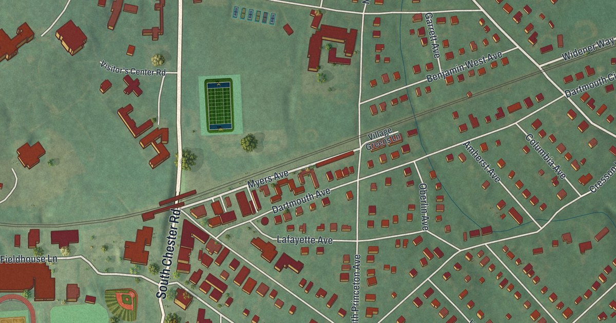
North Chester Road and Benjamin West Avenue
On this map you'll find North Chester Road, South Chester Road, Dartmouth Avenue, Park Avenue, Rutgers Avenue, Yale Avenue, Harvard Avenue, Cedar Lane, College Avenue, Benjamin West Avenue, Crum Woods, Clothier Fields, Umoja Park, and more. Each red shape is a building, so zoom in on the preview and look for yours.
Benjamin West Avenue shares its name with an artist born here in 1738. The state's Benjamin West marker text records his birth on October 10. It places his birthplace at the college entrance on North Chester Road. West became known for his picture, "Penn's Treaty with the Indians." He later lived in Europe, where he died in 1820. On the print, you can pick out North Chester Road and Benjamin West Avenue among the red buildings and green spaces.
Crum Woods and Swarthmore Streets at Home
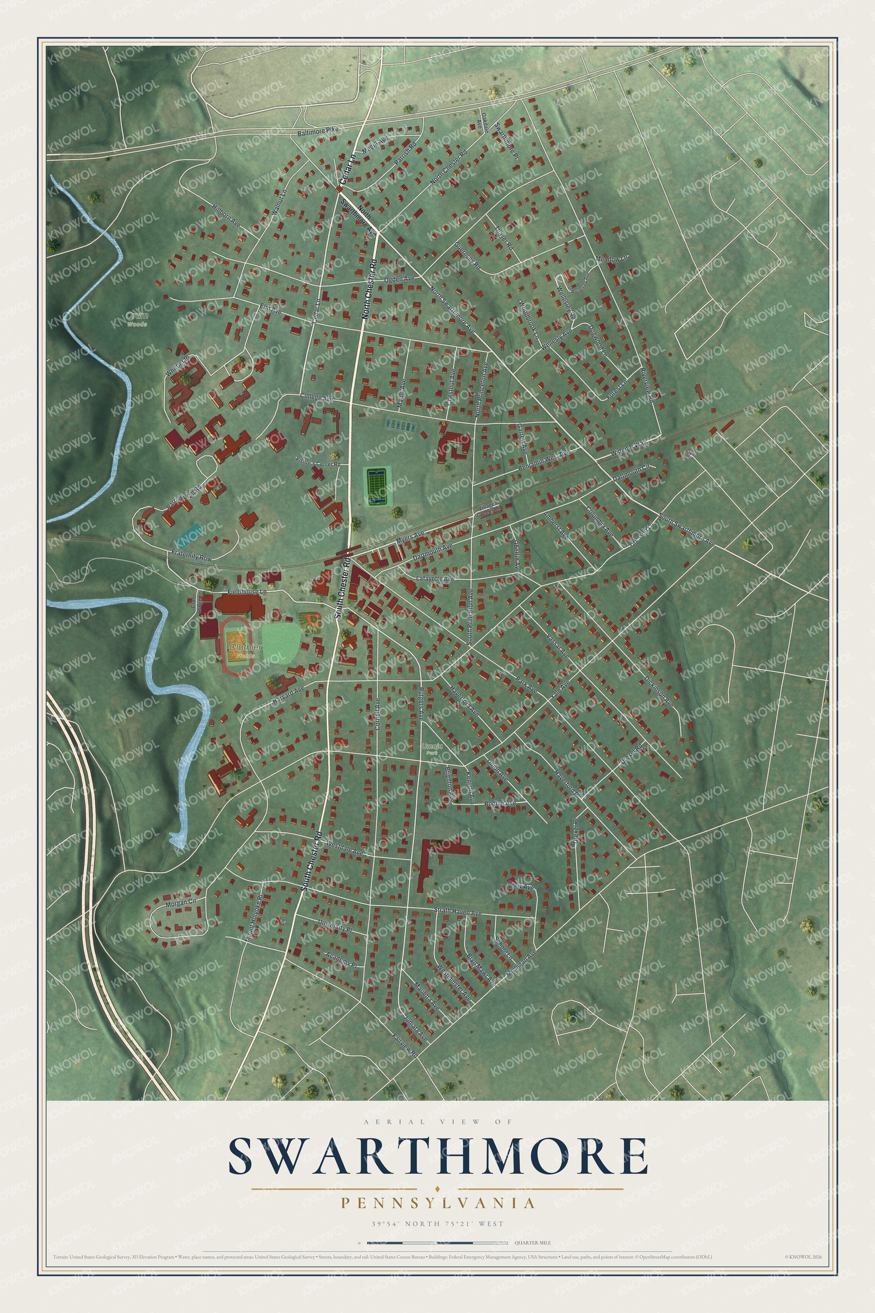
Created by KNOWOL in 2026, the print pairs soft green land with red buildings, pale roads, and blue water. A fine border surrounds the view. The cream title panel reads AERIAL VIEW OF SWARTHMORE, PENNSYLVANIA, with 39°54' NORTH 75°21' WEST below.
Hang it in a living room, study, or entryway. It's a gift for someone who grew up near Park Avenue or has family in Swarthmore. Open the preview to find a familiar block and take a closer look at the town. See sizes and frames for the Swarthmore map.