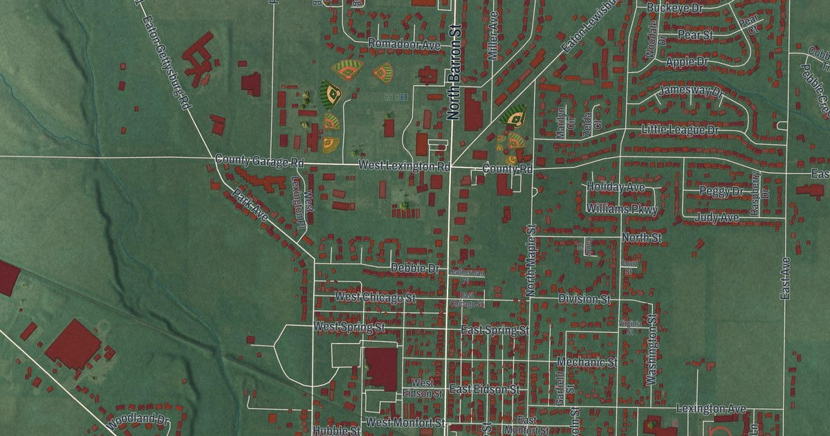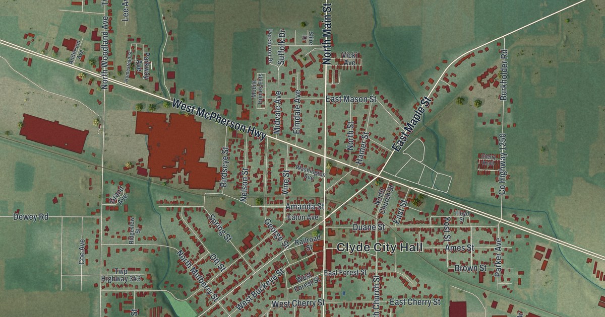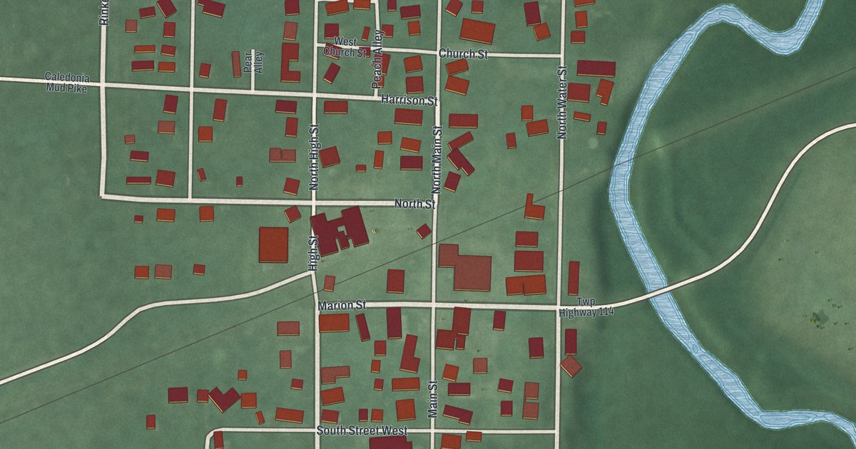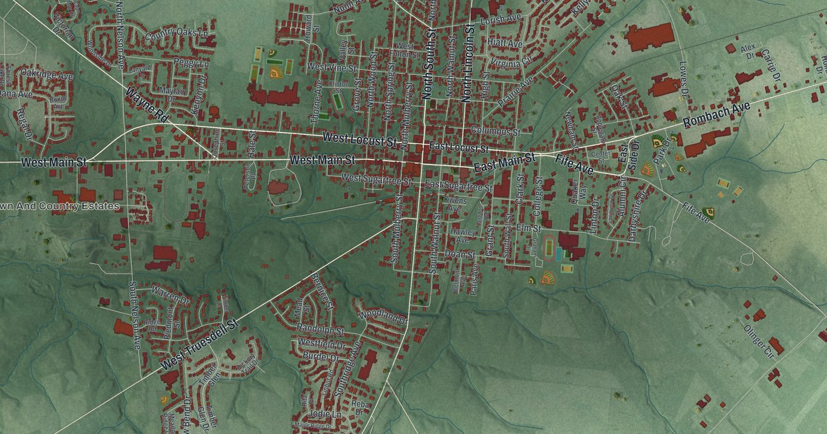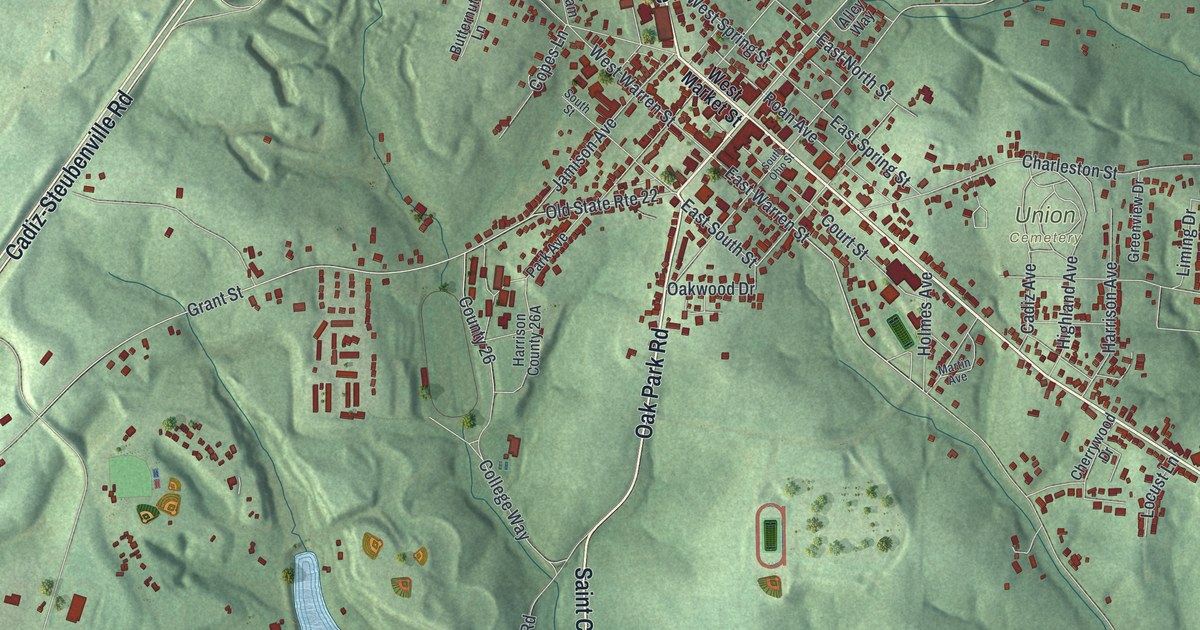
If you grew up in Cadiz, look for your old street on this print. It's a modern aerial view of Cadiz in Harrison County, Ohio, made with modern data and a vintage feel. Red building shapes fill the town center. Green hills and blue water spread out around it.
North Main Street and Cadiz's first July Fourth
On this map you'll find North Main Street, East Market Street, West Market Street, Court Street, Lincoln Avenue, East Warren Street, West Warren Street, Oak Park Road, Oak Park, Cadiz Country Club, and more. Each red shape is a building, so zoom in on the preview and look for yours.
Cadiz's first July Fourth feast had bear meat on the menu. Henry Howe's Historical Collections of Ohio records the gathering on July 4, 1806. People came from town and the country for miles around. They shared venison, wild turkey, bear meat and local vegetables. Rye whiskey was the drink. The town they gathered in is now shown here from above. Look for North Main Street and East Market Street among its close rows of red building shapes.
Cadiz and the hills around Oak Park
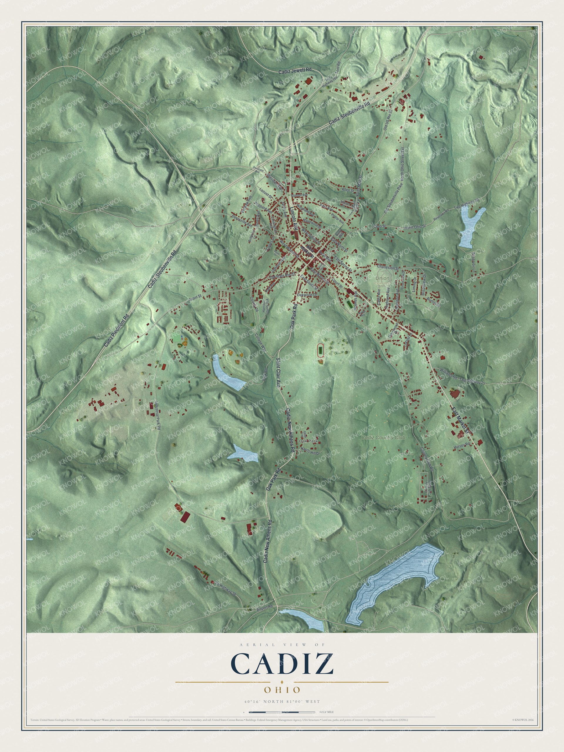
Created by KNOWOL in 2026, this print pairs shaded green hills with red buildings and blue water. A cream border surrounds the map. The title panel reads AERIAL VIEW OF, CADIZ, OHIO, and 40°16' NORTH 81°00' WEST.
It suits a living room, office or entryway where you can keep home close. It's a gift for someone who grew up near Oak Park or moved away from Cadiz. Open the preview and find the street you'd point out to them. See sizes and frames for the Cadiz map.