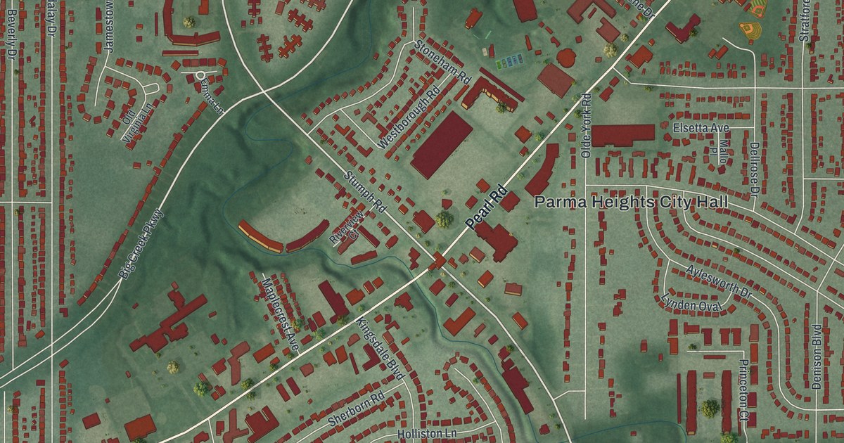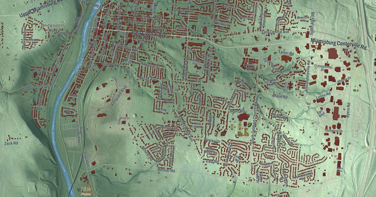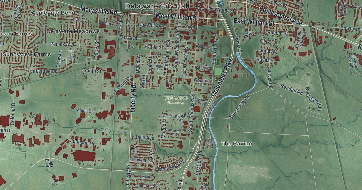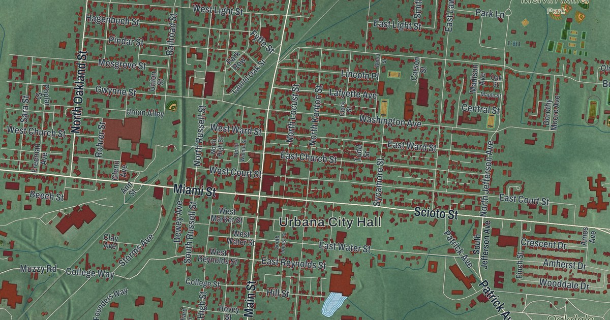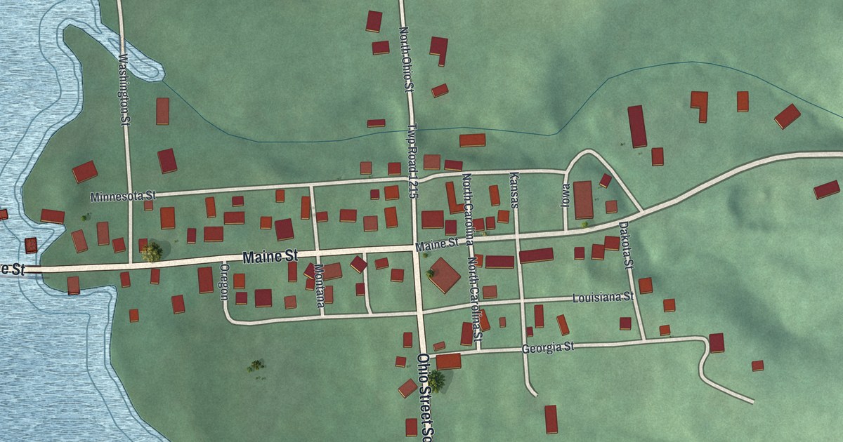
If you grew up in Mifflin, look for your old street on this print. It's a modern aerial view of Mifflin in Ashland County, Ohio, made with modern data and a vintage feel. Red buildings gather along the village streets, beside broad blue water and green hills.
Maine Street and Mifflin's watering trough
On this map you'll find Maine Street, North Ohio Street, Ohio Street South, Minnesota Street, Louisiana Street, Georgia Street, Washington Street, Dakota Street, North Carolina Street, Twp Road 1215, and more. Each red shape is a building, so zoom in on the preview and look for yours.
Mifflin once gave passing stagecoaches a place to stop for water. The Historic Mifflin marker says coaches traveled between Wooster and Mansfield as early as 1810. They stopped at the crossroad watering trough for spring water. In 1925, the trough was removed to make room for the Lincoln Highway. The highway was built in 1928. The marker also notes an original Lincoln Highway L marker in the village. The trough and first village jailhouse stand on the grounds of St. Michael Lutheran Church. That historic site has a Maine Street address, a street you can find on this print.
Keep Mifflin's Maine Street close

Created by KNOWOL in 2026, the print pairs green hills with blue water, pale roads, and red buildings. A fine border surrounds the map and its cream title panel. The panel reads AERIAL VIEW OF, MIFFLIN, OHIO, and 40°46' NORTH 82°22' WEST.
Hang it in a living room, home office, or entryway. It's a thoughtful gift for someone who grew up along Maine Street or has family in Mifflin. Open the preview to find a familiar block and take a closer look at home. See sizes and frames for the Mifflin map.