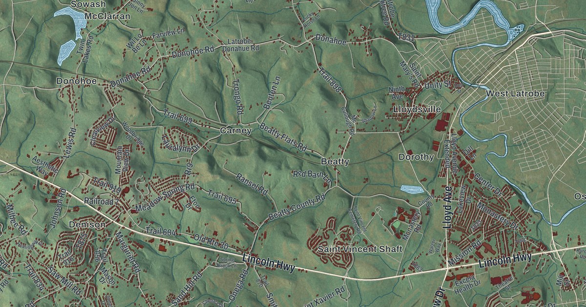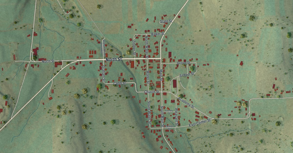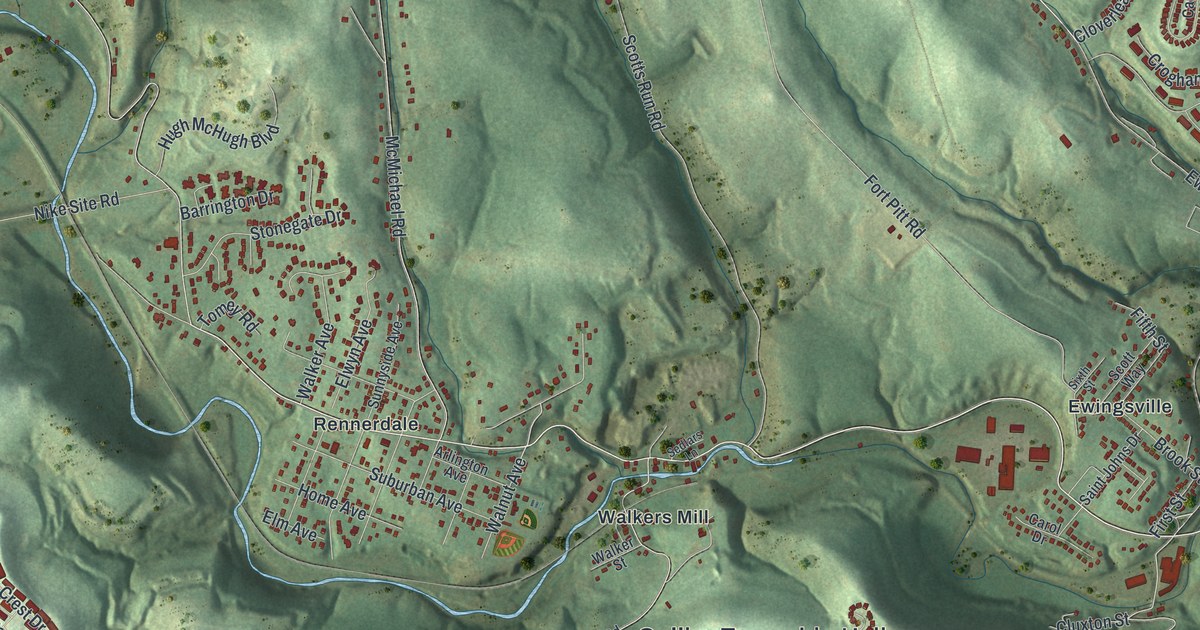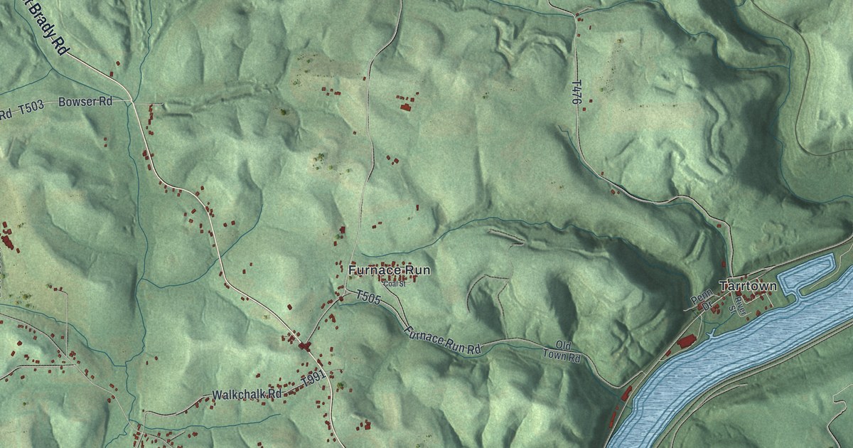
If you grew up in West Hills, Walkchalk or out along East Brady Road, this print shows home. It's a modern aerial view of East Franklin Township in Armstrong County, Pennsylvania, made from modern data and given a vintage feel. Green hills fold across the whole sheet. A wide blue river bends down the right side past Tarrtown, Bridgeburg and Williamsburg. Small red buildings gather along the roads, with the biggest cluster near Franklin Hill Road.
Find Franklin Hill Road and your own road
On this map you'll find East Brady Road, Franklin Hill Road, Butler Road, Old US Highway 422, West Hills, Walkchalk, Cowansville, Adrian, Tarrtown, Bridgeburg, Williamsburg, Furnace Run, Glade Run Road, Commerce Drive, and more. Each red shape is a building, so zoom in on the preview and look for yours.
East Franklin's first township election in 1868
East Franklin held its first township election in the spring of 1868. The township was named after Benjamin Franklin. Both facts come from the History of Armstrong County, written in 1883. Voters that spring chose J.C. Claypoole as justice of the peace. D.C. Quigley became a school director. John Montgomery was picked as a supervisor, and John Moore as an overseer of the poor. You'll find those same names on this map. Claypoole Road, Quigley Hill Road, Montgomery Road and Moore Lane are all printed here.
The same book follows the old land deeds, farm by farm. John Bowser bought part of a tract called Strabane in 1830. David Reed and his family were living on land along Glade Run by 1815. In 1841, part of the Reed land had 20 acres cleared, a log cabin and a small stable. Isaac Wible bought that piece in 1853. Bowser Road, Reed Road, Wible Road and Glade Run Road all show up on the sheet.
From Cowansville to Williamsburg
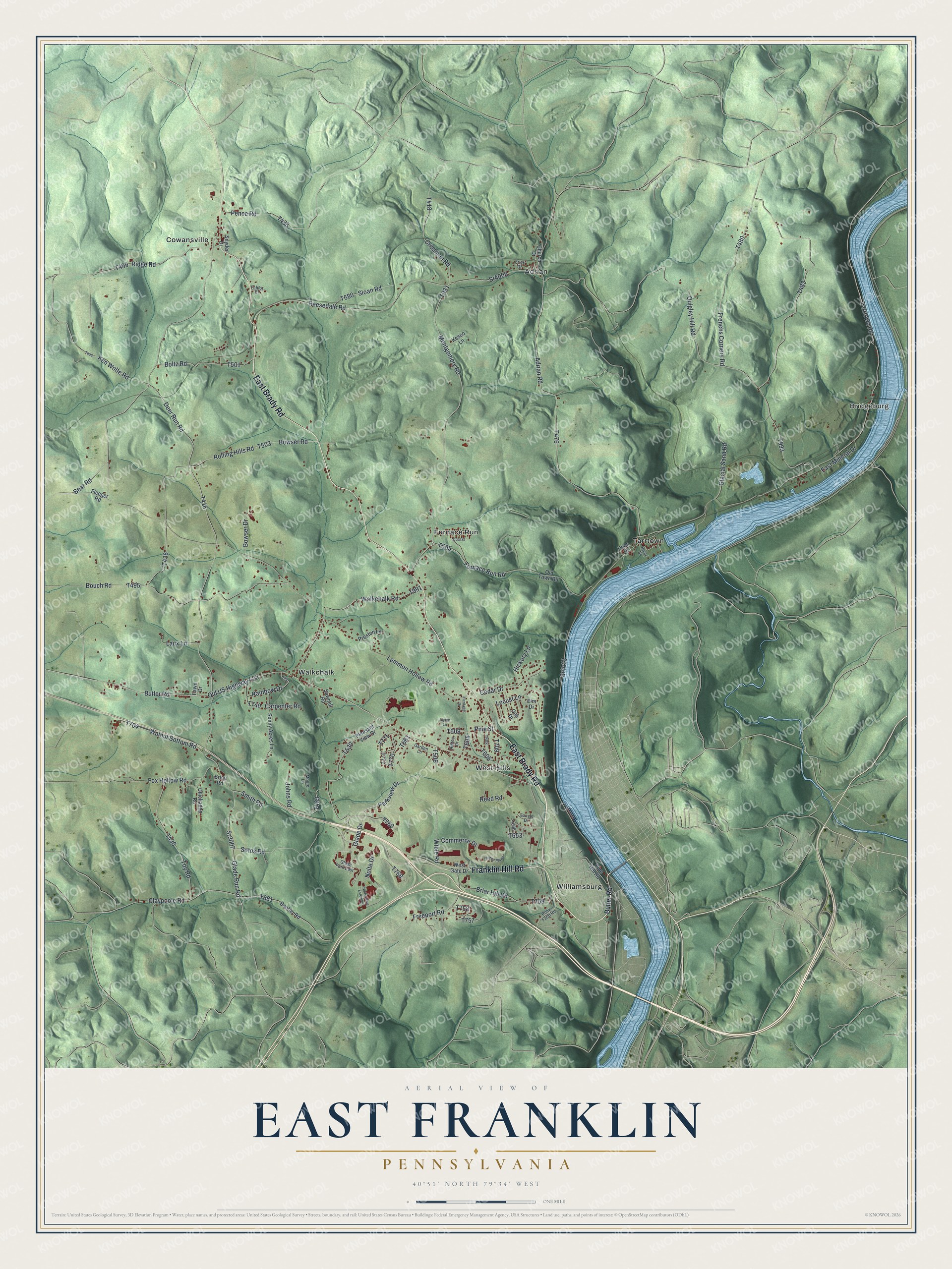
Created by KNOWOL in 2026, this print shows East Franklin's hills in soft green shading, with the river in blue and each building in red. The title panel reads Aerial View of East Franklin, Pennsylvania, with 40°51' North 79°34' West printed below.
It suits a living room, a den or a hallway by the front door. It's a good gift for anyone who grew up in West Hills or still has family out near Cowansville. Open the preview and see how many roads you know. See sizes and frames for the East Franklin map.