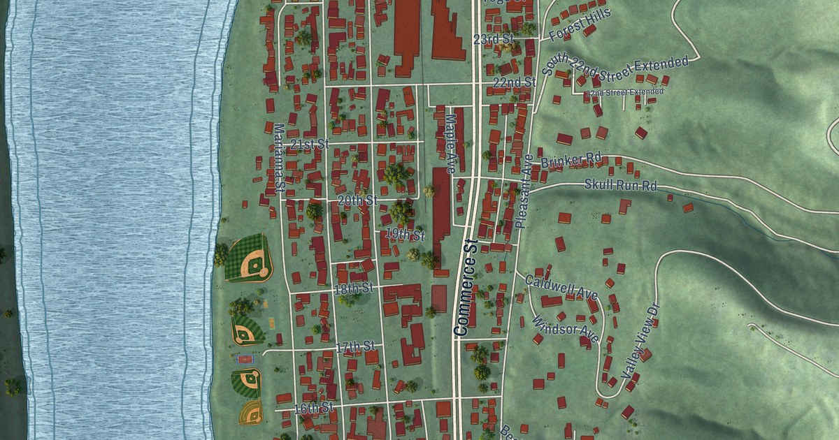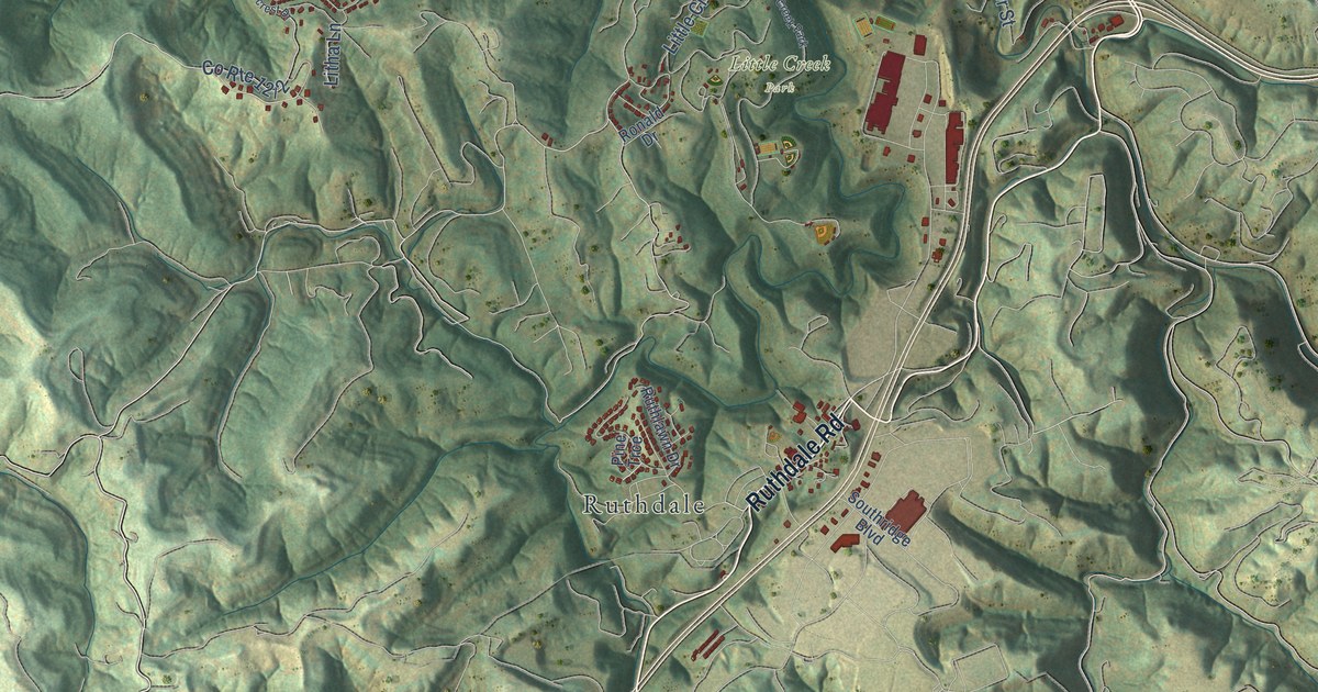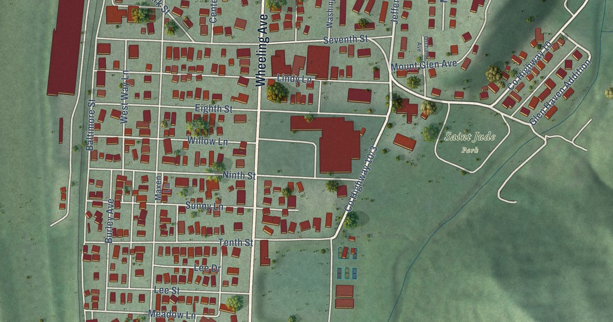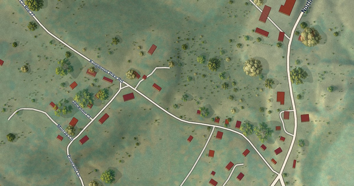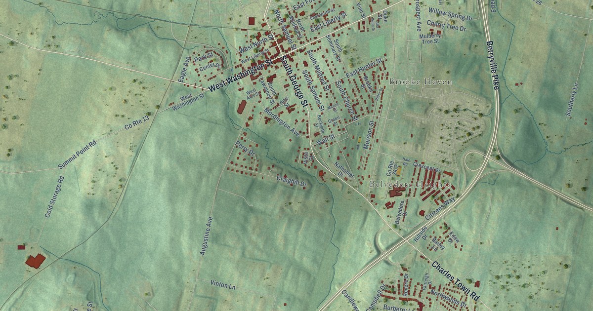
If you grew up in Charles Town, here's a way to keep its streets close. This modern aerial view of Charles Town in Jefferson County, West Virginia, uses modern data with a vintage feel. Red buildings stand out against soft green land. Street names, blue waterways, and the labels for Brooke Haven and Belvedere Heights give you places to look for.
East Washington Street and John Brown's trial
On this map you'll find East Washington Street, West Washington Street, South George Street, North Samuel Street, South Samuel Street, Berryville Pike, Charles Town Road, Summit Point Road, Augustine Avenue, Keyes Ferry Road, Brooke Haven, Belvedere Heights, and more. Each red shape is a building, so zoom in on the preview and look for yours.
The West Virginia Encyclopedia recounts the trial of John Brown in Charles Town. Brown and surviving raiders faced trial after his 1859 raid on the Harpers Ferry Armory and Arsenal. He was convicted and hanged in Charles Town. The National Register records the Jefferson County Courthouse's address at North George and East Washington streets. On the print, you can pick out East Washington Street as a link to that courthouse history.
Charles Town for your wall
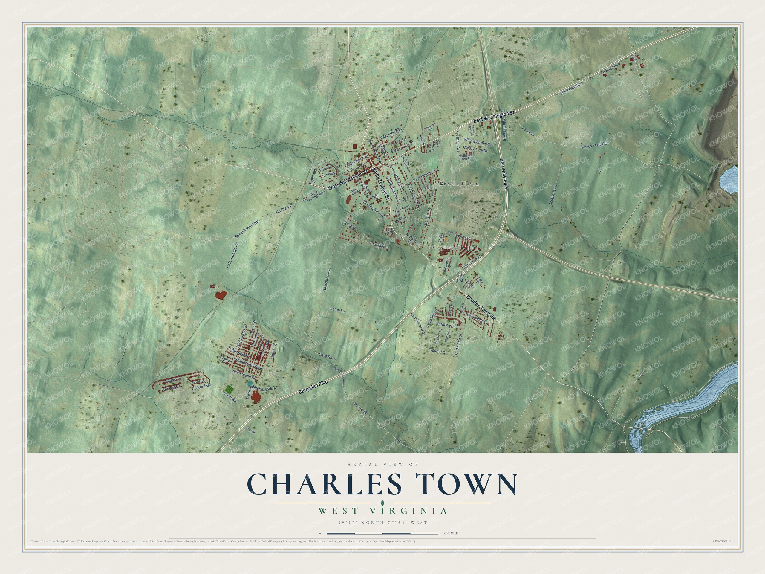
Created by KNOWOL in 2026, the print pairs soft green terrain with red buildings, blue water, and a cream border. The title panel reads AERIAL VIEW OF, CHARLES TOWN, WEST VIRGINIA, and 39°17' NORTH 77°54' WEST.
It's a fit for a living room, office, or entryway. Give it to someone with family on East Washington Street, or keep a view of home for yourself. Open the preview to look for a familiar street and see the whole print. See sizes and frames for the Charles Town map.