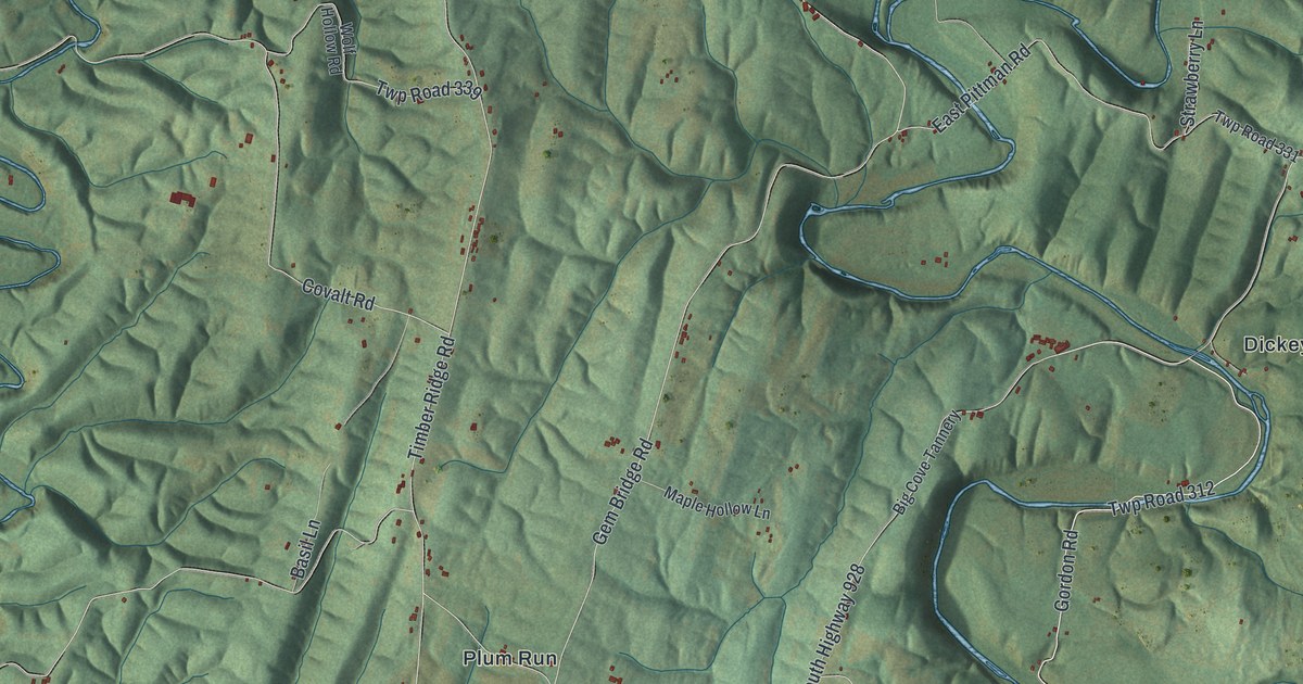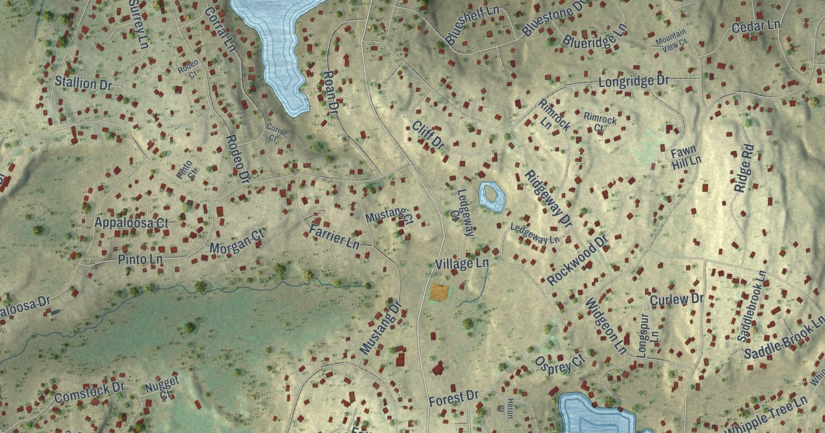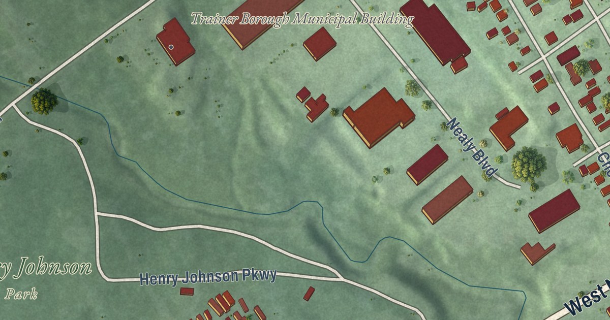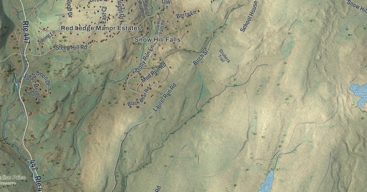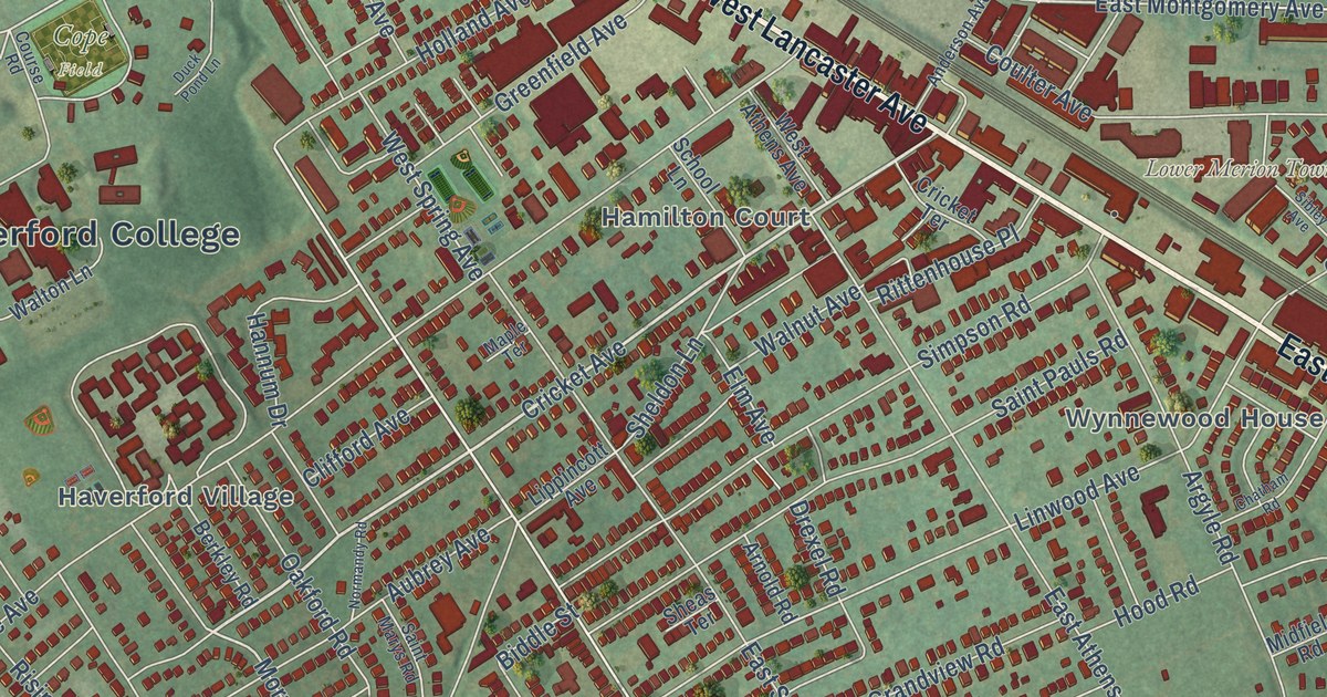
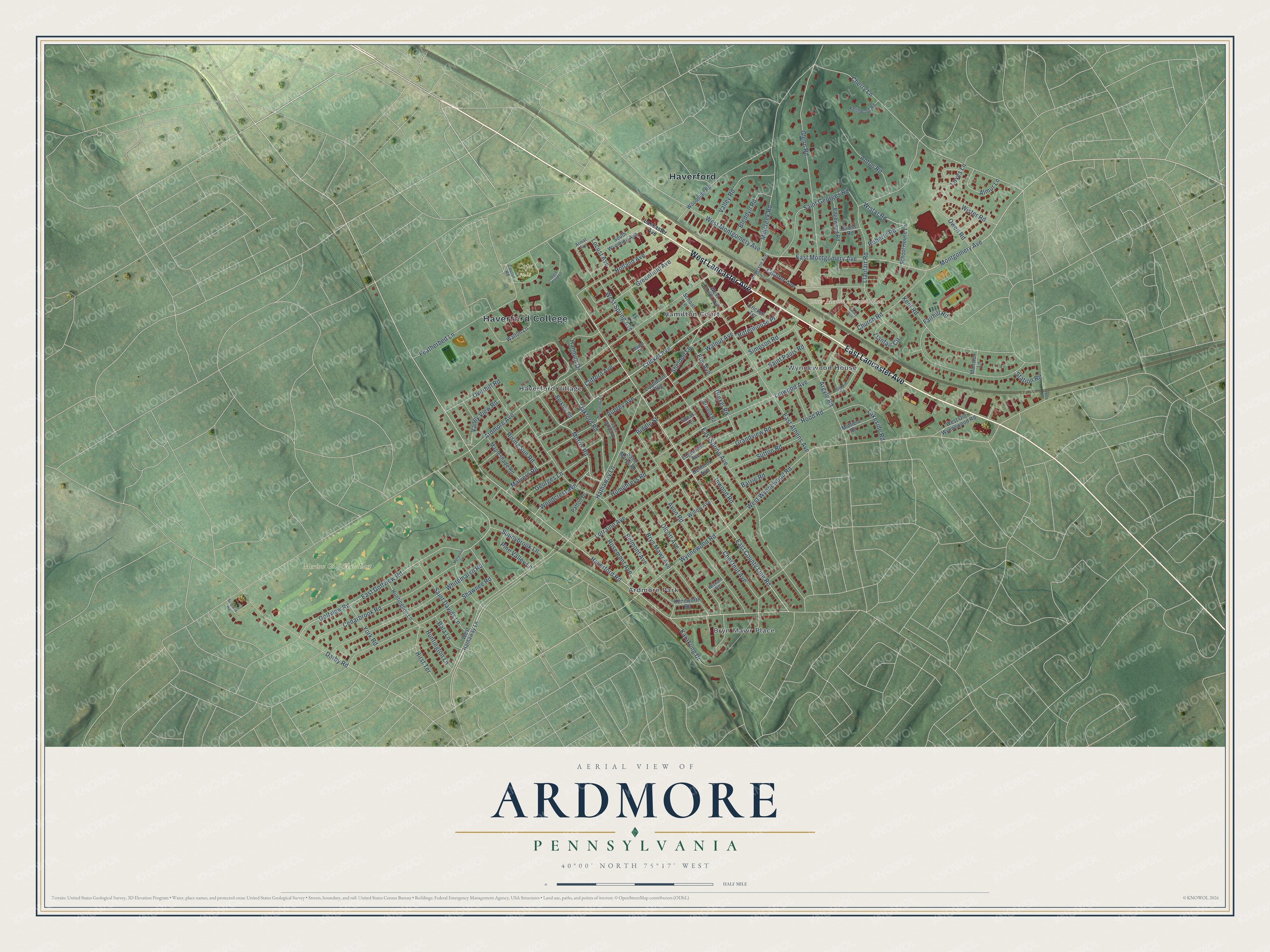
This beautifully detailed map of Ardmore, Pennsylvania was created in 2026 using aerial imagery combined with modern topographical, census, street and landmark data. It’s a one-of-a-kind view of Ardmore that combines accurate data with a vintage aesthetic. The map shows every building in its true location, many of the roads carry their names, and the shaded topographic relief shows the shape of the land.
Explore an aerial view of Ardmore, Pennsylvania
On the map you’ll find Lower Merion Township Hall, Merion Golf Club East, Ardmore Park, Bryn Mawr Place, Haverford, Haverford Village, The Wyndon, Wynnebrook Manor, and Wynnewood House, along with Hamilton Court, West Lancaster Avenue, Lancaster Avenue, and more. If you look closely you can even find your house accurately drawn in its correct location. Zoom in on the preview to look for yours.
Take a closer look at the Ardmore map
Street and place names on the Ardmore, Pennsylvania map
These names are printed on the map of Ardmore, Pennsylvania.
Places: Lower Merion Township Hall, Haverford, Haverford College, Merion Golf Club East, Cope Field, Bryn Mawr Place, Hamilton Court, Haverford Village, Ardmore Park and Wynnewood House.
Streets and roads: West Lancaster Avenue, East Lancaster Avenue, Cricket Avenue, Haverford Road, Morris Road, East County Line Road, East Montgomery Avenue, Wynnewood Road, Golfview Road, West Wynnewood Road, Montgomery Avenue, Glenn Road.
More street names, A to Z
Almur Lane, Anderson Avenue, Anton Road, Ardmore Avenue, Argyle Road, Armat Avenue, Arnold Road, Aubrey Avenue, Avon Road, Bala Lane, Barrie Road, Belmont Avenue, Berkley Road, Biddle Street, Bleddyn Road, Bryn Mawr Avenue, Cedarbrook Road, Chatham Road, Cherry Lane, Chestnut Avenue, Church Road, Clifford Avenue, Coulter Avenue, Course Road, Cricket Terrace, Cross Road, Darby Road, Delmont Avenue, Drexel Road, Duck Pond Lane, East Athens Avenue, East Golfview Road, East Spring Avenue, Edgemont Avenue, Edgewood Road, Elm Avenue, Fairhill Road, Featherbed Lane, Georges Lane, Grandview Road, Greenfield Avenue, Hannum Drive, Hathaway Lane, Hirst Terrace, Holland Avenue, Hood Road, Humphreys Road, Huntingdon Lane, Huntington Lane, Inwood Road, Karakung Drive, Keithwood Road, Kenilworth Road, Kent Road, Lakeside Road, Lancaster Avenue, Linwood Avenue, Lippincott Avenue, Llanfair Circle, Llanfair Road, Locust Avenue, Lorraine Avenue, Loves Lane, Malvern Road, Mansion Lane, Mapleshade Road, Maple Terrace, Merwood Lane, Midfield Road, Millcreek Road, Normandy Road, Oakford Road, Olcott Avenue, Overhill Road, Owen Road, Patton Drive, Penn Road, Pine Valley Lane, Rising Sun Road, Rittenhouse Place, Roberts Road, Rosemont Avenue, Saint Davids Lane, Saint Georges Road, Saint Marys Road, Saint Pauls Road, School House Lane, School Lane, Shawnee Road, Sheas Terrace, Sheldon Lane, Sibley Avenue, Simpson Road, South Wyoming Avenue, Station Road, Sulgrave Road, Sunnybrook Lane, Sutton Road, Valley Road, Valley View Road, Walnut Avenue, Walton Lane, West Athens Avenue, West Hathaway Lane, West Montgomery Avenue, West Old Wynnewood Road, West Spring Avenue, Whitemarsh Road, Wickam Road, Willow Avenue, Wistar Road, Wister Road, Woodcrest Avenue, Woodside Road, York Road.
See the Ardmore, Pennsylvania map on a wall
The Ardmore map as an 18 x 24 inch print in a black frame.

This beautifully detailed map of Ardmore makes an attractive addition to your office, library, or den, and it can even be used to teach children the geography and history of the area. It also makes a great gift for someone who left Ardmore and still calls it home. When you’re done exploring, click here to get your copy of the Ardmore map.