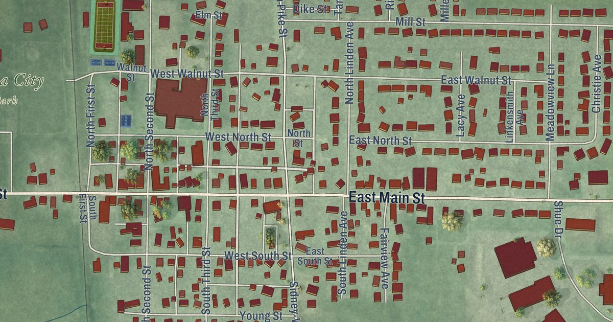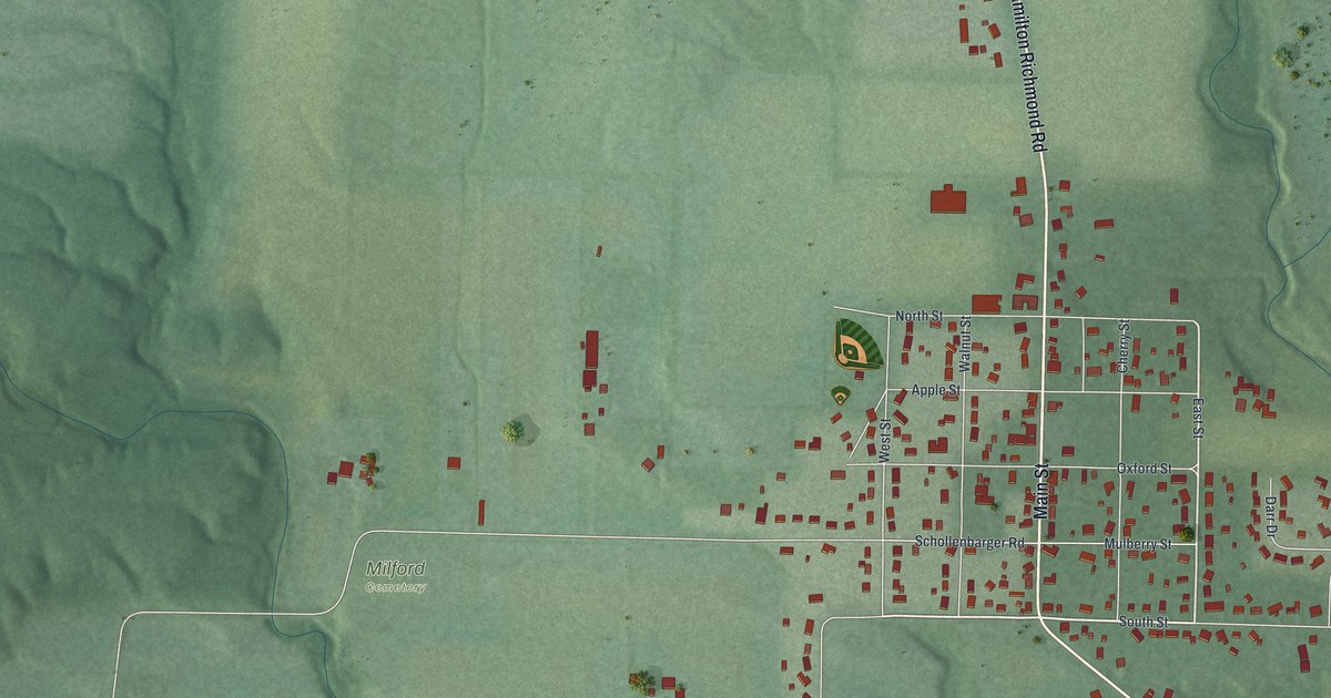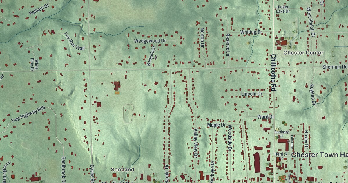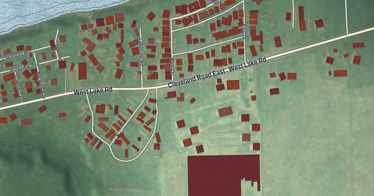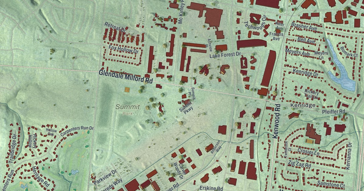
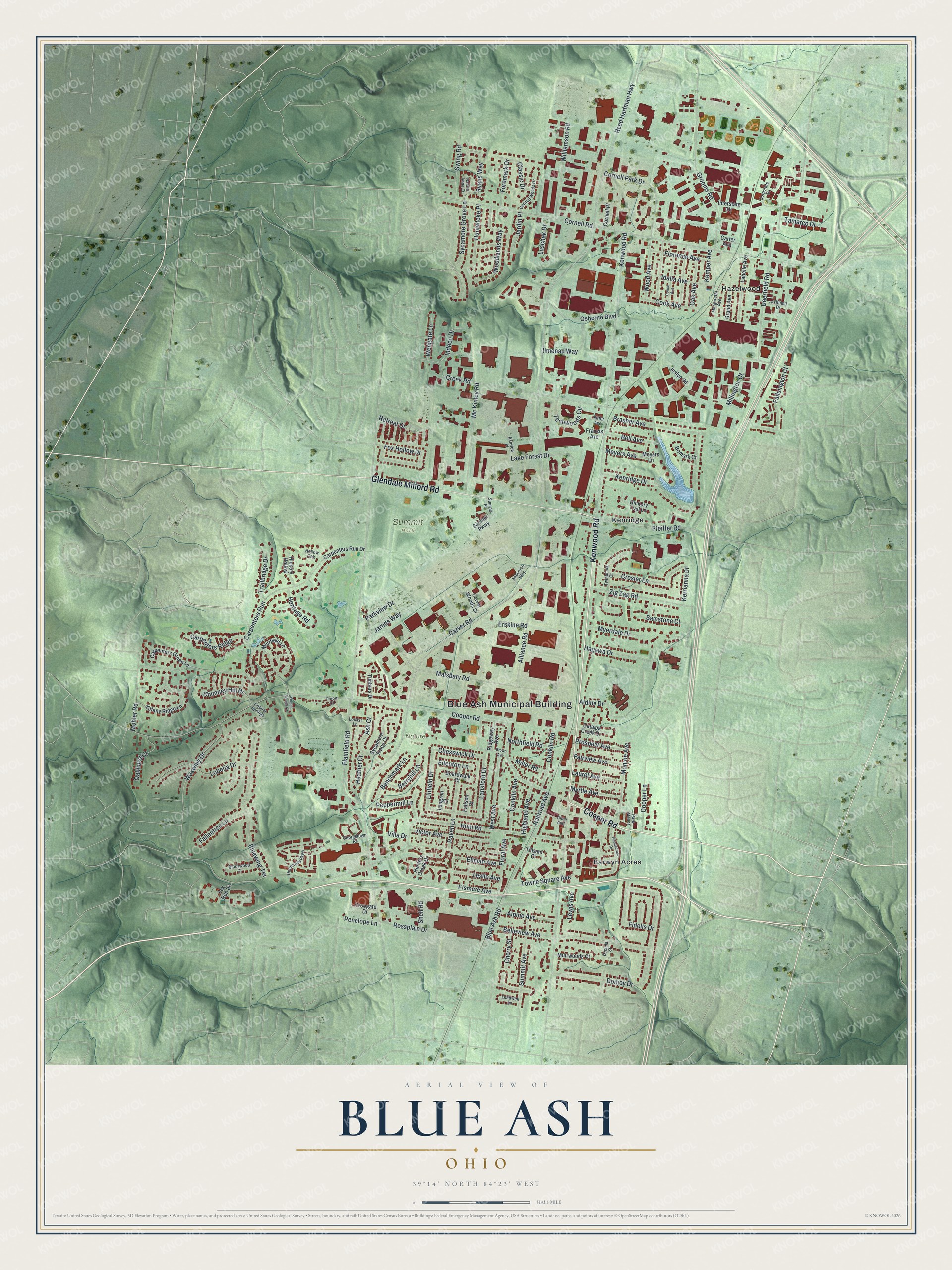
This beautifully detailed map of Blue Ash, Ohio was created in 2026 using aerial imagery combined with modern topographical, census, street and landmark data. It’s a one-of-a-kind view of Blue Ash that combines accurate data with a vintage aesthetic. The map shows every building in its true location, many of the roads carry their names, and the shaded topographic relief shows the shape of the land.
Explore an aerial view of Blue Ash, Ohio
On the map you’ll find Blue Ash Municipal Building, Summit Park, Nature Park, Barwyn Acres, Hazelwood, and Kenridge, along with Kenwood Road, Cooper Road, Glendale Milford Road, Cornell Road, Reed Hartman Highway, Plainfield Road, and more. If you look closely you can even find your house accurately drawn in its correct location. Zoom in on the preview to look for yours.
Did you know this piece of Blue Ash, Ohio history?
From the 1894 History of Cincinnati and Hamilton County, Ohio: "Blue Ash derives its name from the old church and school of that name, for which it was suggested by the prevailing character of the timber in the surrounding region. The first name of the railroad station was Harper, which was conferred in honor of President Harper, of the Cincinnati, Lebanon & Northern railway."
Take a closer look at the Blue Ash map
Street and place names on the Blue Ash, Ohio map
These names are printed on the map of Blue Ash, Ohio.
Places: Blue Ash Municipal Building, Summit Park, Nature Park, Barwyn Acres, Hazelwood and Kenridge.
Streets and roads: Kenwood Road, Cooper Road, Glendale Milford Road, Cornell Road, Reed Hartman Highway, Plainfield Road, Hunt Road, Creek Road, Deerfield Road, Mohler Road, Donjoy Drive, Malsbary Road.
More street names, A to Z
Aldine Drive, Alliance Road, Alma Avenue, Alpine Avenue, Anderson Way, Ash Court, Ashfield Drive, Ashview Place, Bell Avenue, Belleview Avenue, Benchmark Lane, Berryhill Lane, Blackwood Court, Blue Ash Road, Bluewing Terrace, Boardwalk Court, Bomark Court, Brasher Avenue, Brown Avenue, Carpenters Green Lane, Carpenters Ridge, Carpenters Run, Carpenters Run Drive, Carter Avenue, Carver Road, Carver Woods Drive, Catalpa Creek Drive, Cherry Street, Chesswick Drive, Chimney Hill Drive, Classic Drive, Conklin Avenue, Conklin Road, Cook Avenue, Cooper Lane, Cooper Springs, Cooper Woods Court, Corine Avenue, Cornell Park Drive, Cornell Place, Cornell Woods Drive, Corporate Drive, Croogate Drive, Crosier Lane, Decima Street, Deercross Parkway, Edenton Lane, Ellman Avenue, Elsmere Avenue, Erskine Road, Fairview Avenue, Fallentree Lane, Fallsington Court, Fallson Court, Fidelis Drive, Floral Avenue, Florence Avenue, Foremark Drive, Fox Hollow Drive, Fox Run Drive, Francis Avenue, Georgetown Road, Grand Avenue, Grooms Road, Hagewa Drive, Heather Court, Heritage Road, Hickory Hollow, Hickory Trail Lane, Highland Avenue, Hollow Oak, Hunters Creek Drive, Huntwicke Place, Idalia Avenue, Ilmenau Way, Indeco Drive, Interstate Circle, Jardin Place, Jareds Way, Joslyn Road, Kemper Avenue, Kenridge Drive, Kerrianna Drive, Labelle Avenue, Lake Forest Drive, Lansford Drive, Laurel Avenue, Leadwell Lane, Leslie Avenue, Lewis Avenue, Linfield Drive, Lobelia Drive, Locust Lane, Longren Court, Luschek Drive, Margaretta Avenue, Mc Kinley Road, Meyers Avenue, Meyers Lane, Miller Road, Millington Court, Monroe Avenue, Muirfield Lane, Muirwoods Court, Myerdale Drive, Myrtle Avenue, Northfield Road, Oak Avenue, Oakhurst Court, Osborne Boulevard, Park Manor, Parkview Drive, Penelope Lane, Peppermill Lane, Pfeiffer Road, Prospect Avenue, Rachel Anne Court, Railroad Avenue, Raven Lane, Retreat Drive, Ridgeway Avenue, Ritter Avenue, Rossplain Drive, Ryans Way, Samstone Court, Shell Road, Summit Avenue, Summit Parkway, Summit Place, Swing Road, Sycamore Grove Lane, Sycamore Trace Court, Tamarco Drive, Techwoods Circle, Tiffany Ridge Lane, Tillsam Court, Timbers Drive, Towne Square Avenue, Trailbridge Drive, Troon Court, Twinbrook Court, Victor Avenue, Villa Drive, Waxwing Drive, Wengate Lane, West Avenue, Williamson Road, Wood Avenue, Woodlands Way, Wynnecrest Drive, Zig Zag Road.
See the Blue Ash, Ohio map on a wall
The Blue Ash map as an 18 x 24 inch print in a black frame.

This beautifully detailed map of Blue Ash makes an attractive addition to your office, library, or den, and it can even be used to teach children the geography and history of the area. It also makes a great gift for anyone who grew up in Blue Ash or moved away. When you’re done exploring, click here to get your copy of the Blue Ash map.