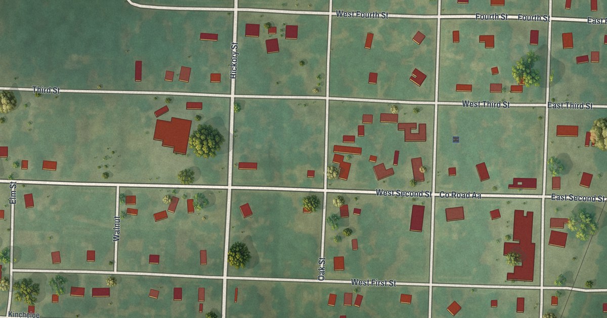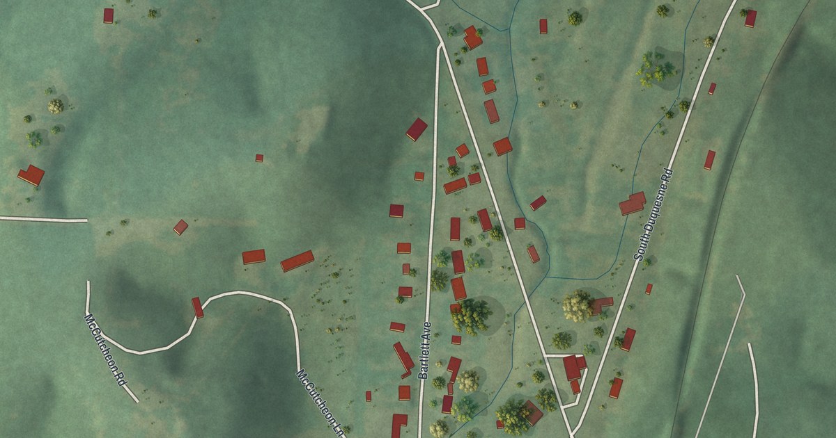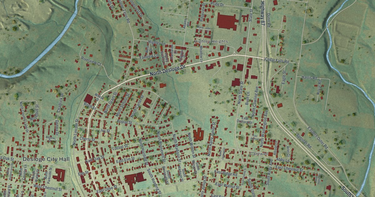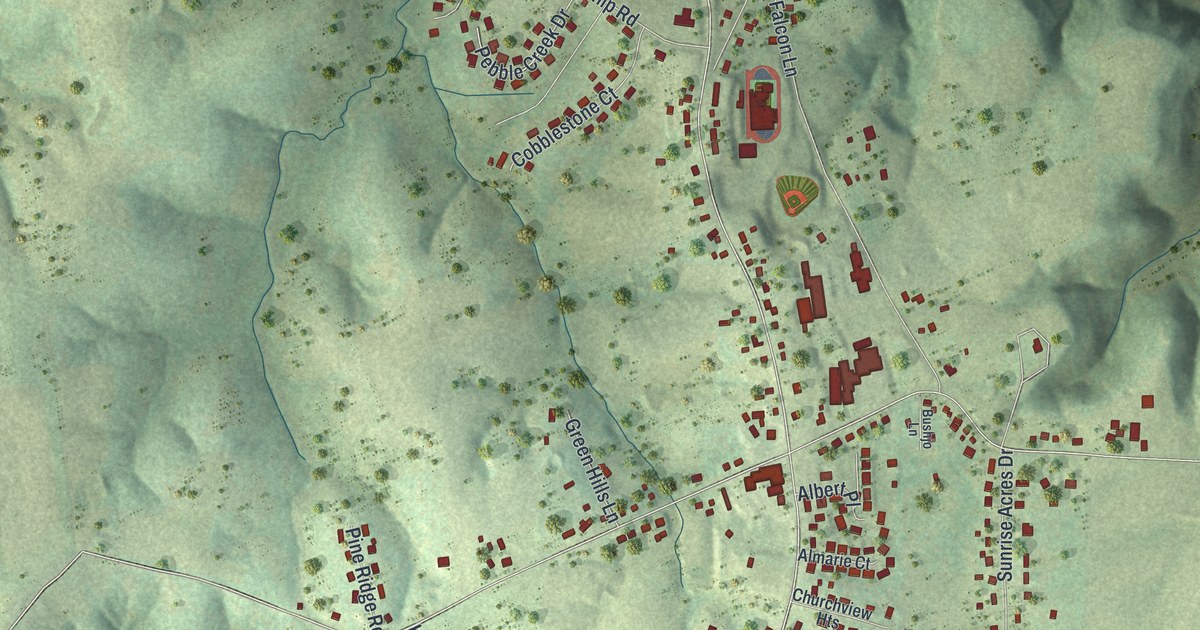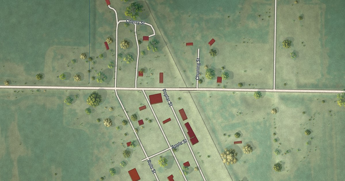
If your family farmed the bottom land around Bigelow, or you remember the short streets beside the tracks, this map is for you. It's a new aerial view of Bigelow in Holt County, Missouri, made from modern data and given a vintage feel. The town sits in the middle of the sheet. Its small grid of streets lines up beside a rail line that crosses the map at an angle. Wide green fields and straight country roads fill the rest, and a thin strip of blue water bends along the lower right corner.
Rulo Street, Poplar Street and the rest of Bigelow
On this map you'll find Rulo Street, Poplar Street, Apple Street, Dogwood Street, Cherry Street, Chuning Street, and more. Each red shape is a building, so zoom in on the preview and look for yours.
Where two rail lines met at Bigelow
The main line of the Kansas City, St. Joseph & Council Bluffs Railroad ran through Bigelow. In 1880, a new line called the Nodaway Valley Branch was finished. The 1917 History of Holt County says this branch "intersects the main line at Bigelow." From there it ran on through Mound City and Maitland. Bigelow was one of eleven railroad stations in the county. On the map, you can see the tracks. They run at an angle right past the town's streets.
Bigelow and the bottom land
The land around Bigelow is low and flat, and water shaped life here. One of the first settlers was a man named Wagle. He lived just west of where Bigelow now stands. The flood of 1844 forced him to move, says an 1882 county history. Later, drainage districts were organized to get the water off the land. In 1909, landowners near Bigelow, Craig and Corning met to talk about the bottom land. They'd raised only two crops there in the past eight years. They decided it was time to act.
Keep Bigelow and Rulo Street close
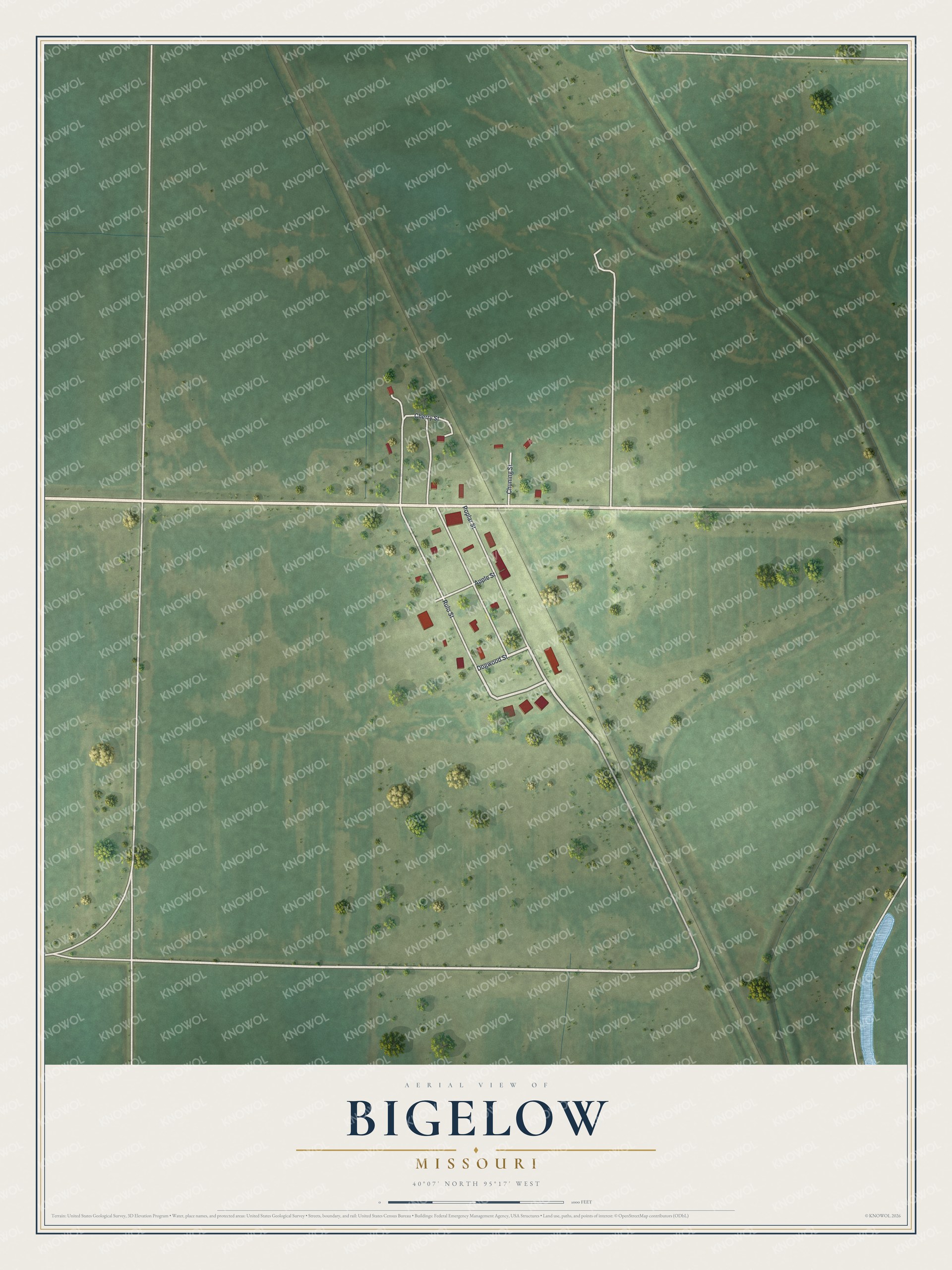
Created by KNOWOL in 2026, this print shows Bigelow from above in soft greens, with red buildings, pale roads, the rail line and a thin bend of blue water. The title panel reads Aerial View of Bigelow, Missouri, with the coordinates 40°07' North 95°17' West.
It fits a farmhouse kitchen, a den or an office wall. It's a good gift for someone who grew up near the tracks by Poplar Street, or for family who moved away from Holt County. Open the preview and find your street. See sizes and frames for the Bigelow map.