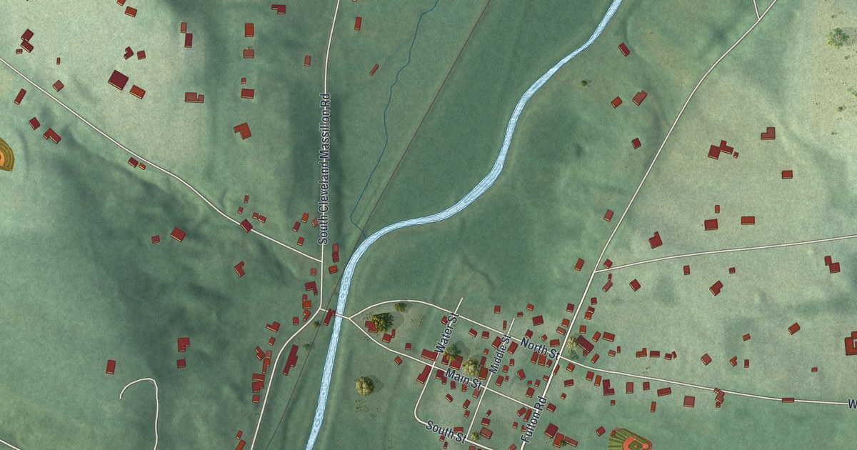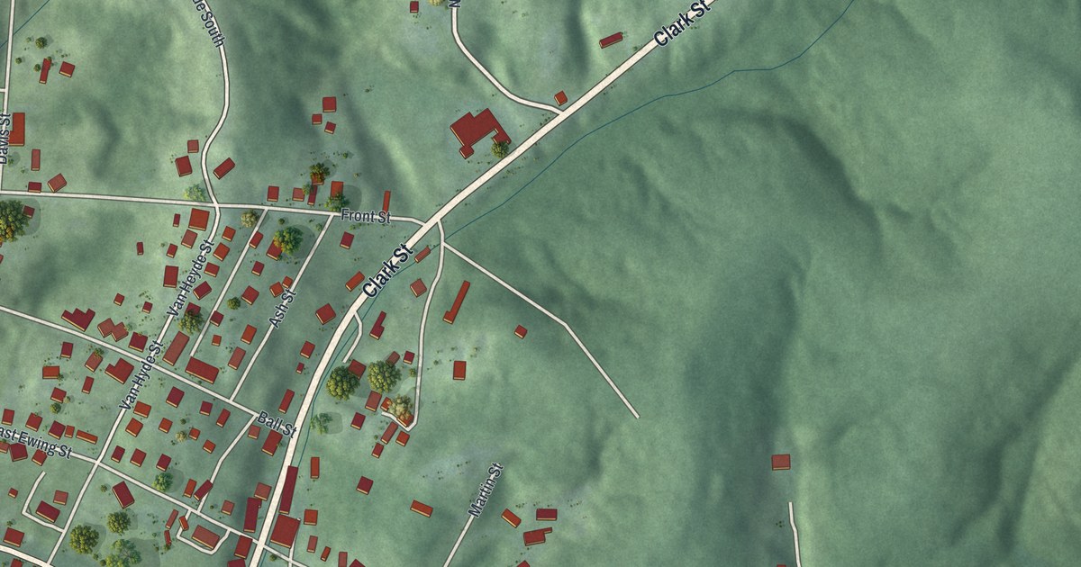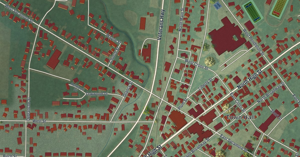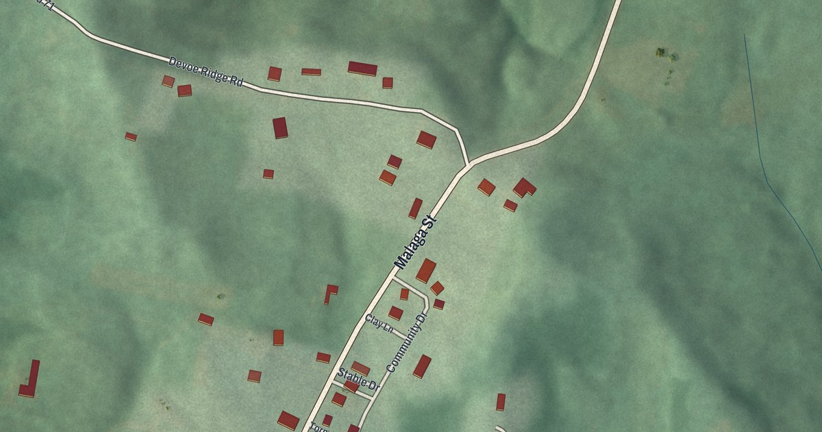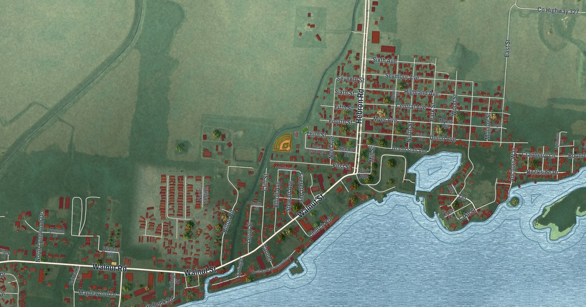
If you grew up near Buckeye Lake, look for your street beside the water. This aerial map shows Buckeye Lake in Licking County, Ohio, built from modern data with a vintage look. Blue water fills much of the print. Red buildings line the shore, with green fields beyond the town's streets.
Buckeye Lake's streets by the water
On this map you'll find Hebron Road, Walnut Road, North Bank Road, Mill Dam Road, Lake Street, Union Avenue, Central Avenue, Park Street, Cranberry Lane, Cottage Street, Dockside Drive, Anchors Way, and more. Each red shape is a building, so zoom in on the preview and look for yours.
Buckeye Lake's electric park
The Buckeye Lake Park historical marker tells how this shore became a resort. Ohio first built a four-mile dam to hold water for the Ohio and Erie Canal. In 1894, the state renamed the reservoir Buckeye Lake and began to develop it for recreation. A traction company built an electric park here. From 1904 to 1929, visitors came on interurban cars. Hotels and summer cottages grew on leased land around the park.
The park covered nine acres, with free daily admission in summer. On the print, look for Hebron Road and Walnut Road. The marker stands near where one road becomes the other, at the North Shore entrance. That entrance is a good spot to start the park story. You can also pick out the small red buildings along the water's edge.
Keep Buckeye Lake close
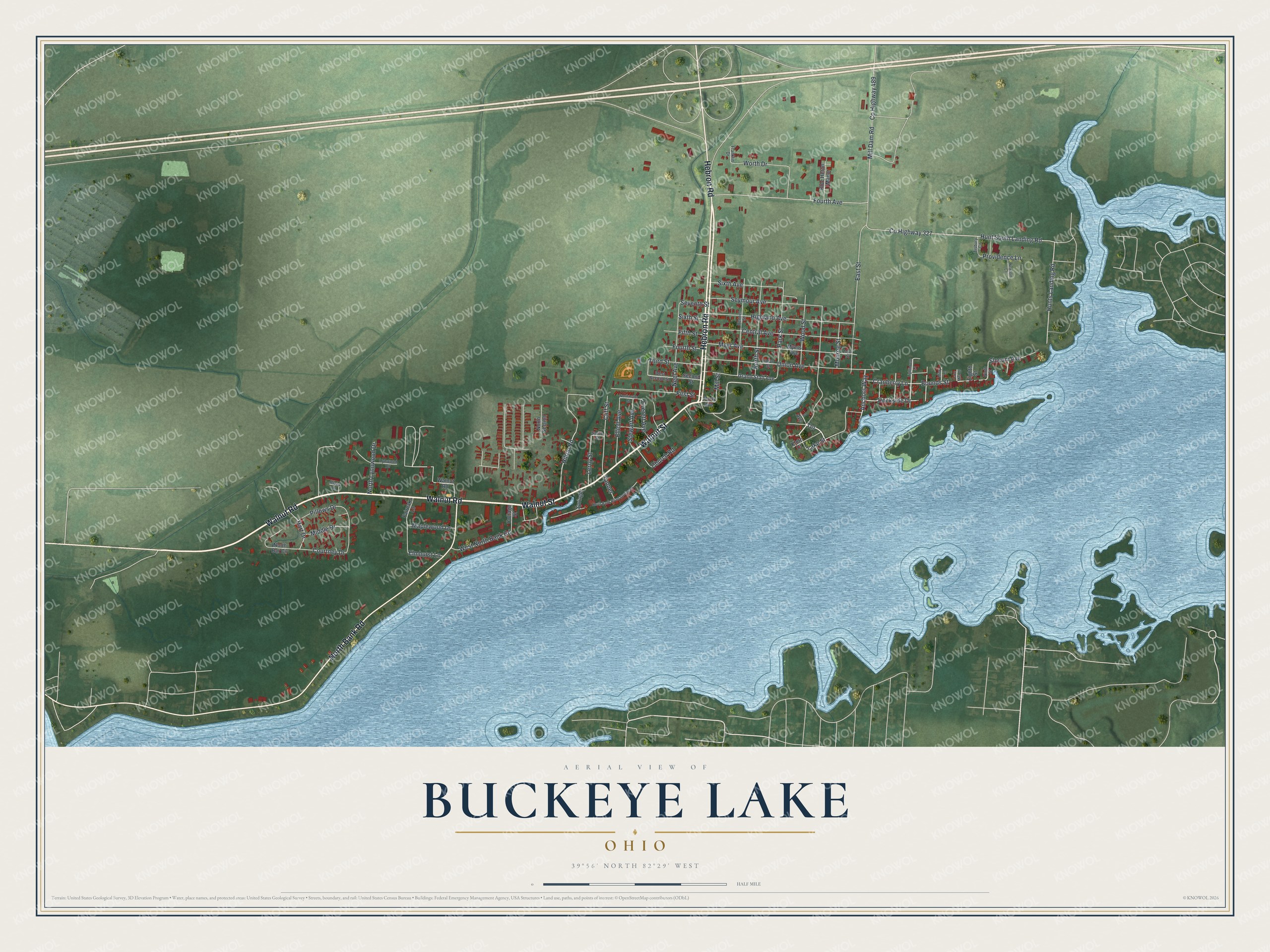
Created by KNOWOL in 2026, the print pairs blue water, green land, pale roads and red buildings with a cream border. The title panel reads AERIAL VIEW OF, BUCKEYE LAKE, OHIO, and 39°56' NORTH 82°29' WEST.
Hang it in a living room, office or lake cottage. It's a gift for someone who grew up on Walnut Road or moved away from Buckeye Lake. Open the preview and look for the block you'd point out to them. See sizes and frames for the Buckeye Lake map.