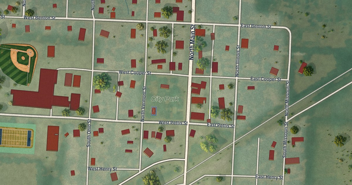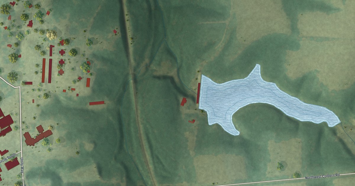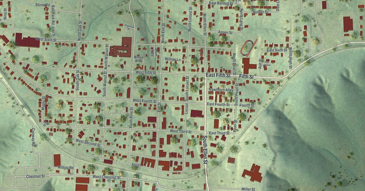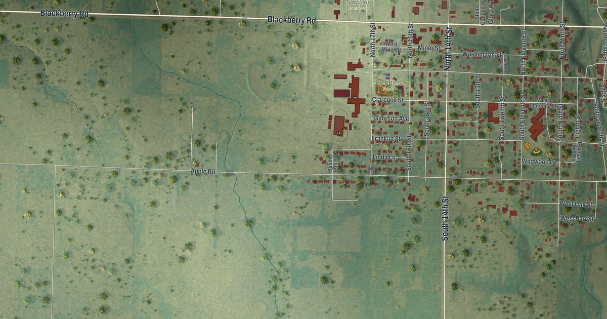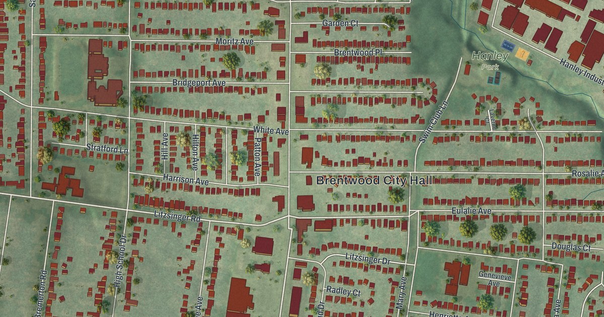
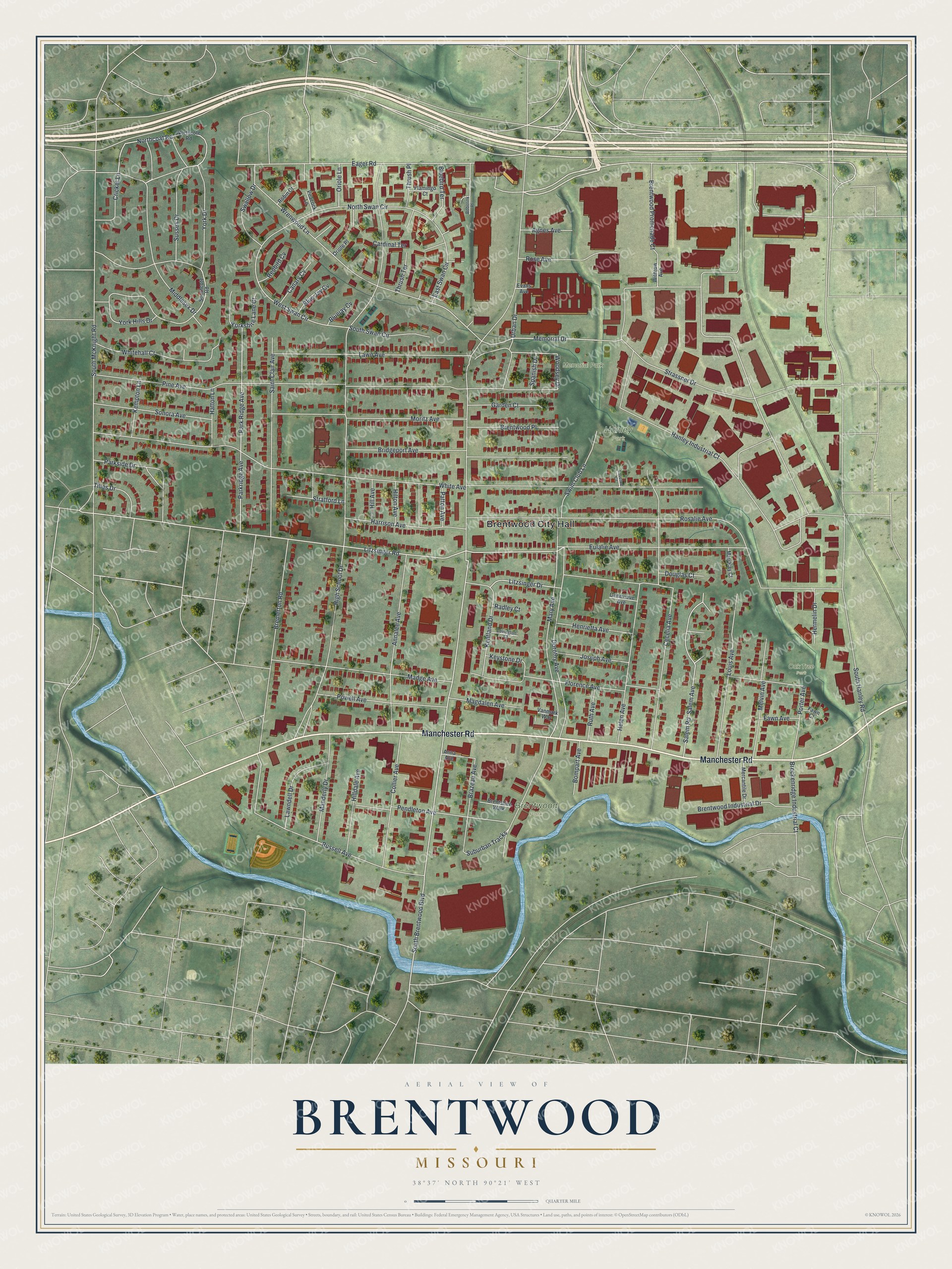
If you grew up on one of the short avenues off Manchester Road, this map puts your street back on the wall. It's a modern aerial view with a vintage feel, made from modern data, showing Brentwood in St. Louis County, Missouri. You'll see Brentwood City Hall near the middle, with Memorial Park, Hanley Park and Oak Tree Park close by. Homes, shops and big work buildings all show up as small red shapes on soft green land.
Brentwood City Hall and the streets around it
On this map you'll find Manchester Road, South Brentwood Boulevard, Eager Road, South Hanley Road, Litzsinger Road, White Avenue, Eulalie Avenue, Rosalie Avenue, Pine Avenue, High School Drive, Brentwood City Hall, Memorial Park, Hanley Park, Oak Tree Park, and more. Each red shape is a building, so zoom in on the preview and look for yours.
How Brentwood got its name from Mr. Brent
Brentwood's name goes back to one man. The story comes from the Ramsay Place Names File, an old record kept by the State Historical Society of Missouri. It says the town was "so named for Mr. Brent, who laid out the town." That file was put together between 1928 and 1945. It doesn't give his first name, only his role in starting the town.
His name still turns up all over the sheet. Look for South Brentwood Boulevard, Brentwood Place, Brentwood Promenade Court and Brentwood Industrial Drive. Brentwood City Hall sits near the center of the map. Along the right side, large red blocks line Hanley Industrial Court and Strassner Drive. Down low, a thin blue creek bends past Manchester Road and the Suburban Tracks.
From Memorial Park to Manchester Road
Names on this map
These names are printed on this map.
Places: Brentwood City Hall, Brentwood Park, Memorial Park, Hanley Park and Oak Tree Park.
Streets and roads: Manchester Road, Eager Road, South Brentwood Boulevard, Litzsinger Road, Eulalie Avenue, Hanley Industrial Court, Wrenwood Lane, West Swan Circle, East Swan Circle, York Hills Drive, Porter Avenue, High School Drive.
More street names, A to Z
Agnes Avenue, Anna Avenue, Annalee Avenue, Bluebird Terrace, Blue Jay Cv, Bluejay Cv, Bobolink Place, Bompart Avenue, Brazeau Avenue, Breckenridge Industrial Court, Bremerton Road, Brentshire Walk, Brentwood Industrial Drive, Brentwood Place, Brentwood Promenade Court, Bridgeport Avenue, Canary Cv, Cardinal Terrace, Cecelia Avenue, Collier Avenue, Covington Court, Cricket Lane, Dorothy Avenue, Douglas Court, Evans Avenue, Fawn Avenue, Fawn Court, Flamingo Court, Florence Avenue, Garden Court, Genevieve Avenue, Harrison Avenue, Hatton Lane, Helen Avenue, Henrietta Avenue, Hermelin Drive, Hill Avenue, Hilldale Avenue, Hilton Avenue, Joseph Avenue, Kempton Lane, Kentland Drive, Keystone Drive, Laverne Court, Lawn Avenue, Lawndell Drive, Litzsinger Drive, Louis Avenue, Madge Avenue, Magdalen Avenue, Manderly Drive, Mari Kay Court, Mary Avenue, Melvin Avenue, Memorial Drive, Mercantile Drive, Middlesex Drive, Moritz Avenue, Northcoat Road, Northcote Road, North Swan Circle, Oriole Lane, Oriole Place, Park Ridge Avenue, Parkridge Avenue, Parkside Drive, Patton Avenue, Peacock Lane, Pendleton Avenue, Pine Avenue, Powell Avenue, Radley Court, Redbird Cv, Robin Court, Rosalie Avenue, Rose Avenue, Russell Avenue, Ruth Avenue, Saint Clair Avenue, Salem Avenue, Salem Road, Sonora Avenue, Southcote Road, South Hanley Road, South McKnight Road, South Swan Circle, Spanish Drive, Strassner Drive, Stratford Lane, Suburban Tracks, Sussex Drive, Swallow Drive, Swim Club Lane, Thrush Place, Thrush Terrace, Tilles Drive, Urban Drive, Vanmark Way, White Avenue, Whitehall Court, Withrow Avenue, Woodsey Drive, York Drive, Yorkshire Lane Court.
Created by KNOWOL in 2026, this print shows Brentwood from above in soft greens, with pale streets, red buildings and a blue creek. The title panel at the bottom reads "Aerial View of Brentwood, Missouri," with 38°37' North 90°21' West below it.
It fits well in a living room, a home office or a front hall. It's a kind gift for someone who lived near Memorial Park or Brentwood City Hall and has since moved away. Open the preview and find your own block. See sizes and frames for the Brentwood map.