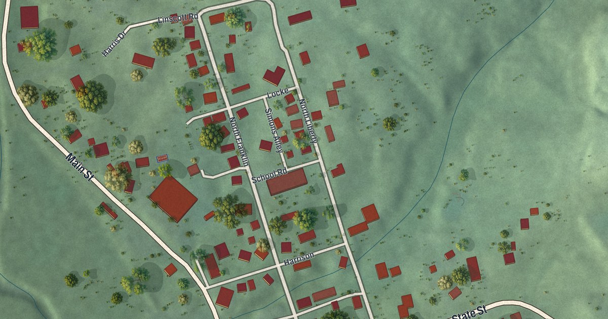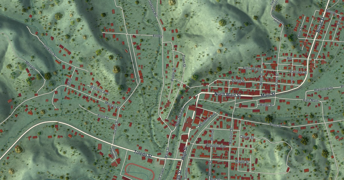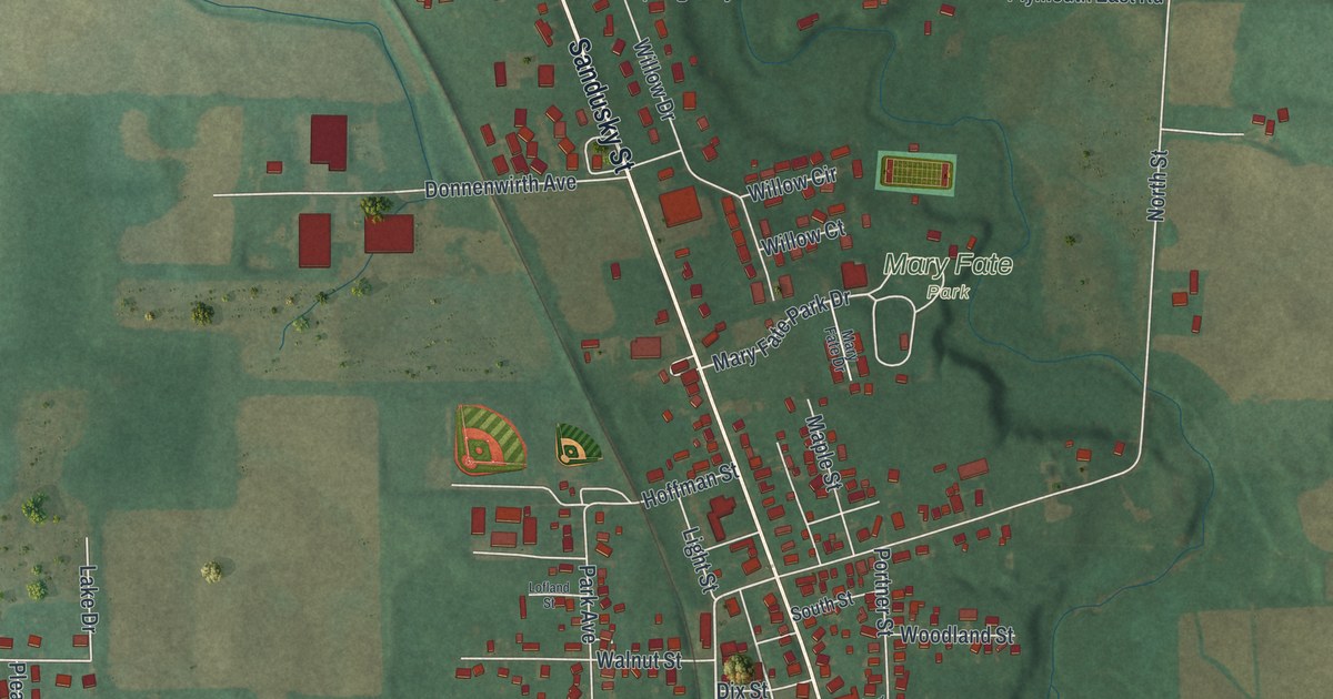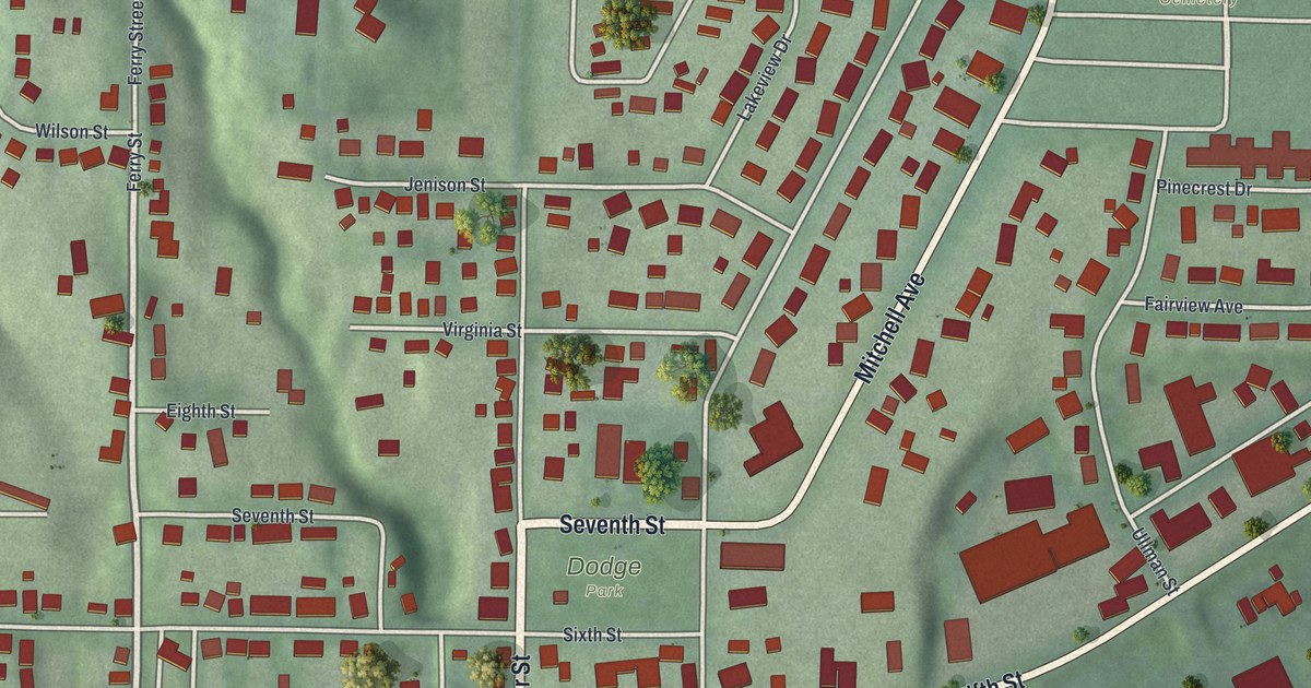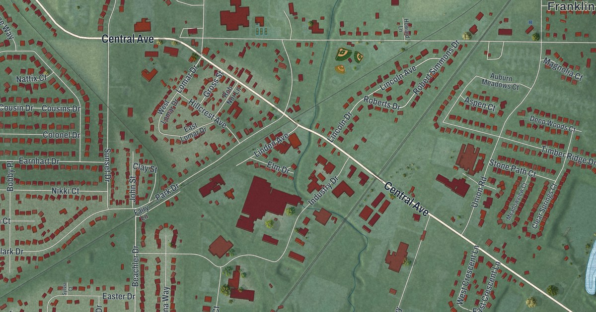
If you grew up in Carlisle or still drive Central Avenue most days, this map is made for you. It's a modern aerial view of Carlisle in Warren County, Ohio, built from modern data and given a vintage look. Thousands of small red buildings fill the streets. Blue lakes sit in the green low ground, and a wide blue river bends across the bottom of the sheet. The rise and fall of the land shows in soft shading all around town.
Central Avenue, Park Drive and the streets of Carlisle
On this map you'll find Central Avenue, Park Drive, Dayton-Oxford Road, Carlisle Pike, Chautauqua Road, the Franklin Township Administrative Building, Chautauqua, Jamaica Road, Fairview Drive, Union Road, Maple Avenue, Walnut Avenue, Lincoln Avenue, Chestnut Avenue, and more. Each red shape is a building, so zoom in on the preview and look for yours.
How the Jersey Settlement became Carlisle Station
Carlisle wasn't always called Carlisle. In the early 1800s, people knew it as the Jersey Settlement. That's because many of the first settlers came from New Jersey. Then the railroad came. The Cincinnati, Hamilton & Dayton line started running in 1851. It was the second railroad through Warren County. George Carlisle was the railroad's vice-president, and he bought a big piece of land here. In 1856, he and his wife Sarah gave a lot to the town. The people who lived here renamed their home Carlisle Station.
A local group, the Carlisle Literary Association, built a hall on that lot around 1856. The Ohio historical marker for Carlisle Station Depot says the old hall was still standing in 2019. It's the older part of Carlisle's municipal building. The marker stands near the flagpole across from the Carlisle Area Historical Society Museum at 453 Park Drive. On the map, a rail line still cuts across town on a long diagonal, crossing Central Avenue near the middle of town.
Keep Central Avenue and Chautauqua close to home
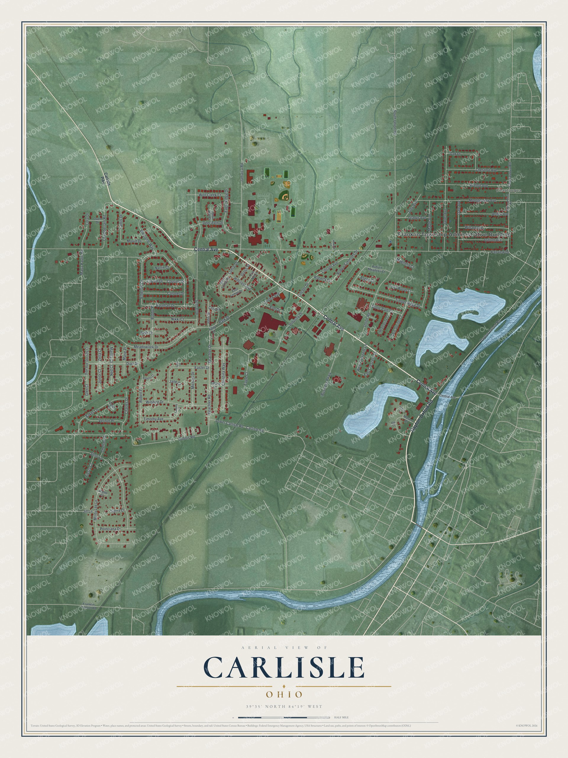
Created by KNOWOL in 2026, this print shows Carlisle in soft greens, with red buildings, blue lakes and a winding blue river. The title panel reads Aerial View of Carlisle, Ohio, with the coordinates 39°35' North 84°19' West.
It fits a living room, a front hall or a home office. It's a good gift for someone who grew up off Park Drive and moved away, or for a family that just bought a house in Chautauqua. Open the preview and zoom in to find your own street. See sizes and frames for the Carlisle map.