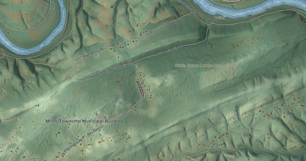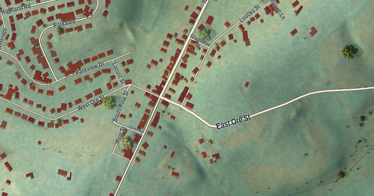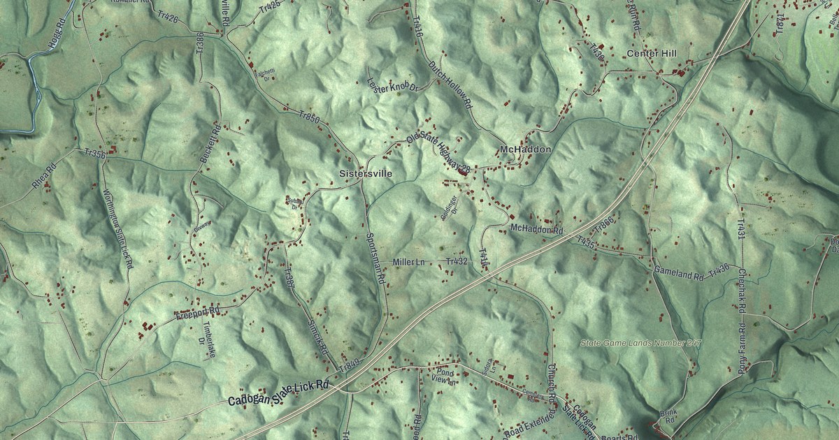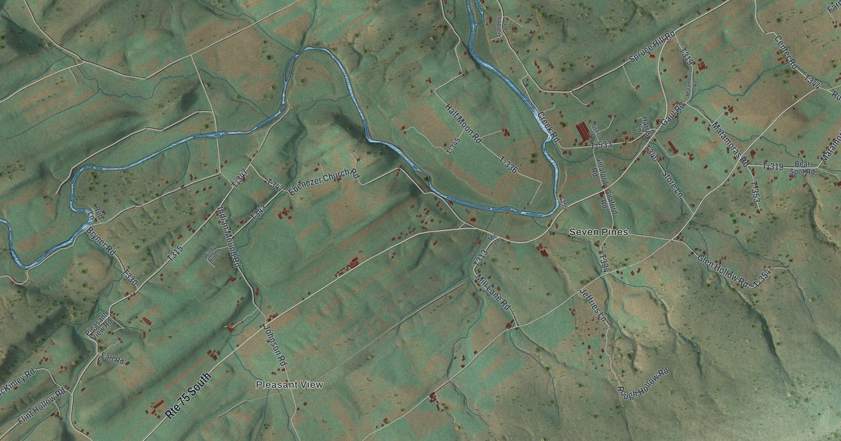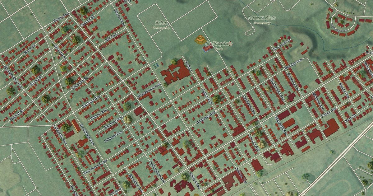
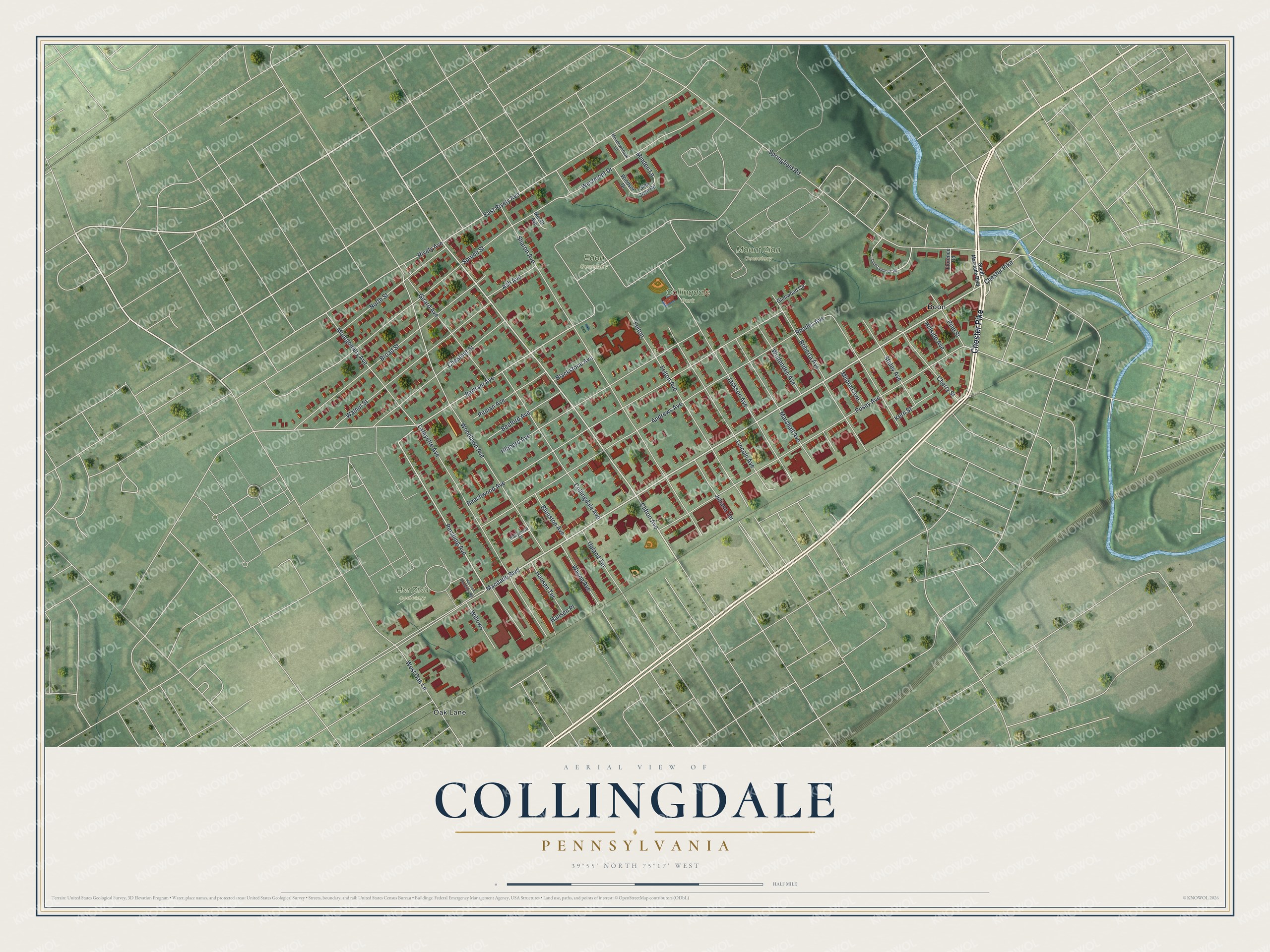
If you grew up near Collingdale Park or still have family off Macdade Boulevard, this map shows your streets. It's a new aerial view of Collingdale in Delaware County, Pennsylvania, built from modern data and given a vintage look. More than 5,000 red building shapes fill the blocks between Chester Pike and the cemeteries up top. A blue creek winds down the right side of the sheet.
St. Joseph's Parish on Woodlawn Avenue
On this map you'll find Chester Pike, Macdade Boulevard, Clifton Avenue, Woodlawn Avenue, Collingdale Avenue, Pusey Avenue, Andrews Avenue, Blunston Avenue, Bartram Avenue, Springfield Road, Collingdale Park, Eden Cemetery, Mount Zion Cemetery, Har Zion Cemetery, Oak Lane, and more. Each red shape is a building, so zoom in on the preview and look for yours.
St. Joseph's Parish Complex stands at 500 Woodlawn Avenue. In May 2018 it was added to the National Register of Historic Places. That's the nation's list of buildings worth saving. Find Woodlawn Avenue on the map and you've found its block.
Blunston Avenue, Bartram Avenue and Old Darby
Two street names in town match two people buried next door in Darby. Next door in Darby, the Friends burial ground has been in use since 1682. According to a state marker, the land was given by John Blunston, the founder of Darby, who is buried there. The same ground holds the marked grave of John Bartram, the well-known plant expert. Here in Collingdale, Blunston Avenue and Bartram Avenue share those two names.
From Chester Pike to Eden Cemetery
Names on this map
These names are printed on this map.
Places: Collingdale Park, Eden Cemetery, Har Zion Cemetery, Mount Zion Cemetery, Boon and Oak Lane.
Streets and roads: Chester Pike, Macdade Boulevard, Clifton Avenue, Pershing Avenue, Bartram Avenue, East Rively Avenue, Rively Avenue, Springfield Road, Sharon Avenue, Beechwood Avenue, Andrews Avenue, Pusey Avenue.
More street names, A to Z
Ash Avenue, Bedford Avenue, Blackstone Avenue, Blunston Avenue, Broad Street, Cherry Street, Chestnut Street, Collingdale Avenue, Felton, Felton Avenue, Florence Road, Girard Avenue, Glen Cove Road, Glenwood Circle, Hansen Place, Hansen Terrace, Har Zion Cemetery Road, Hibberd Avenue, Hillside Avenue, Hollywood Place, Jackson Avenue, Juliana Terrace, Kern Street, Lafayette Avenue, Lincoln Avenue, Marshall Avenue, Meadowbrook Lane, Meeth Avenue, Mildred Avenue, Minden Lane, Montgomery Avenue, North Street, Pine Street, Pitman Avenue, Rhodes Avenue, Roberta Avenue, South Lynbrook Road, South Macdade Boulevard, Spruce Street, Staley Avenue, Upland Terrace, Walnut Street, Wayne Avenue, Westmont Drive, West Oak Lane, Willows, Windsor Drive, Wolfenden Avenue, Woodlawn Avenue.
Created by KNOWOL in 2026, the print shows Collingdale from above on soft green land, with red buildings, pale gray streets and a blue creek along the right edge. The cream title panel reads AERIAL VIEW OF COLLINGDALE, PENNSYLVANIA, 39°55' NORTH 75°17' WEST.
It fits a front hall, a family room or a home office. It's a warm gift for someone who grew up near Collingdale Park and moved away, or for a family with long ties to St. Joseph's. Open the preview and find your own block. See sizes and frames for the Collingdale map.