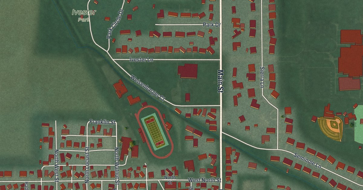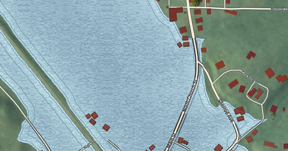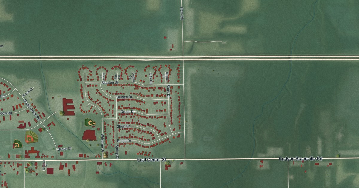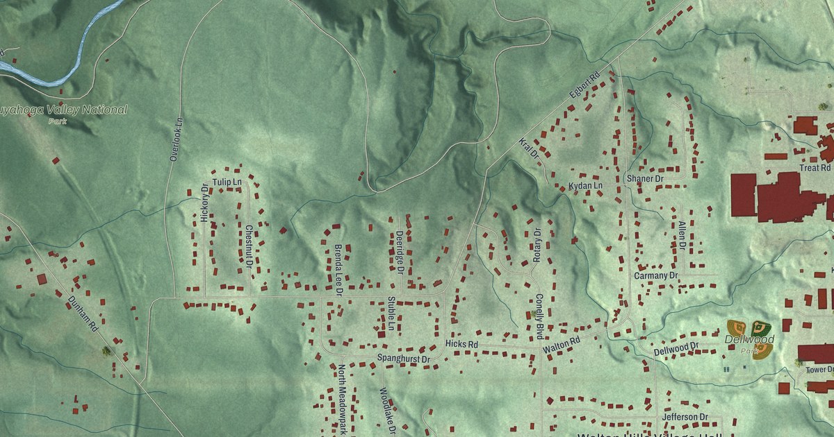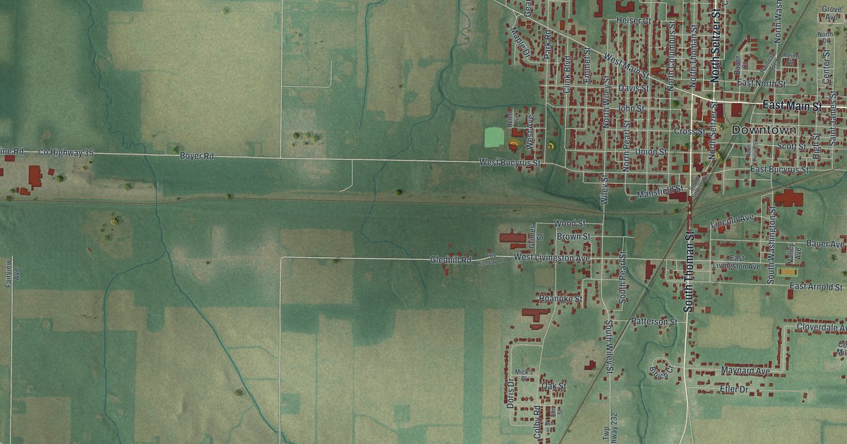
If you grew up in Crestline, or you still know your way around East Main Street, this map was made for you. It's a modern aerial view of Crestline in Crawford County, Ohio, built from modern data and given a vintage feel. The village sits right of center, packed with small red buildings. Farm fields in green and gold spread out on every side. Rail lines cut across the fields and cross in town. A thin blue stream and a small lake sit in the upper left corner, and a long highway sweeps across the bottom.
What you'll find on the Crestline map
On this map you'll find East Main Street, West Main Street, North Seltzer Street, Union Street, South Thoman Street, West Bucyrus Street, Mansfield Street, Railroad Avenue, West Livingston Avenue, East Arnold Street, County Line Road, Downtown, East Crestline, and more. Each red shape is a building, so zoom in on the preview and look for yours.
Crestline's World War II canteen
During World War II, Crestline fed the troops who passed through. From 1942 until 1946, people from local churches and two railroad groups ran a free canteen. It sat on the platform of the Pennsylvania Railroad station. Volunteers met as many as 25 trains a day. They handed out sandwiches, pies, cakes, cookies, fruit and drinks. They served troop trains and hospital trains, new recruits and returning veterans. No one was paid, and gifts came in from eight counties. Crestline's children even gave their pennies to build a bigger canteen in 1943. The Ohio historical marker says the region welcomed about 1.2 million of the nation's sons and daughters.
Today that marker stands at the southwest corner of North Seltzer Street and Union Street. Two National Register buildings are just a short walk away. One is the Methodist Episcopal Church at Thoman and Union Streets. The other is the Hoffman House at 211 Thoman Street. Crestline City Hall, at 121 West Bucyrus Street, is on the National Register too.
Keep Crestline and East Main Street close
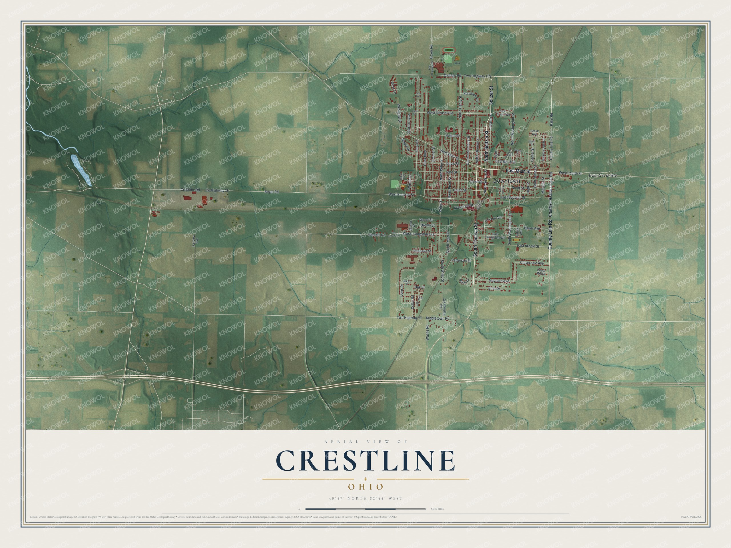
Created by KNOWOL in 2026, the print shows Crestline from above, with red buildings, green and gold farm fields and softly shaded ground. The title panel reads Aerial View of Crestline, Ohio, with 40°47' North 82°44' West below it.
It fits a living room, a hallway or a home office. It's a good gift for a Crestline family, a railroad family, or anyone who grew up near East Main Street and now lives somewhere else. Open the preview and find your street. See sizes and frames for the Crestline map.