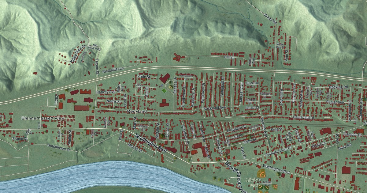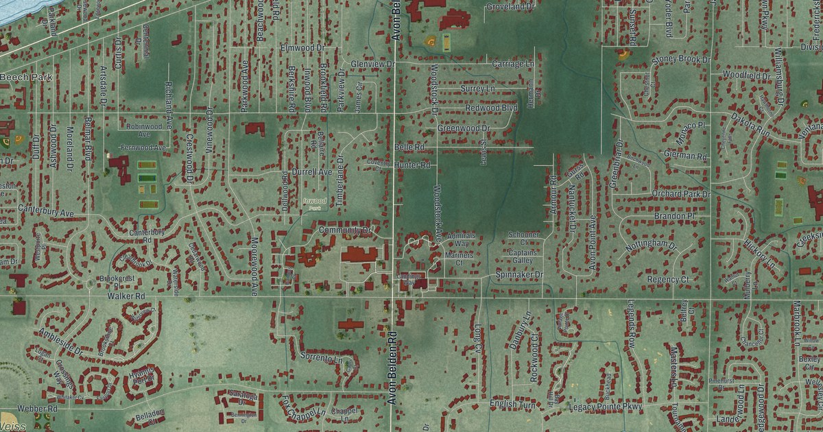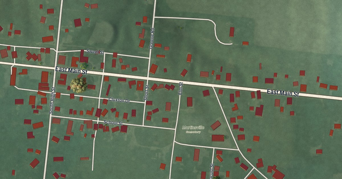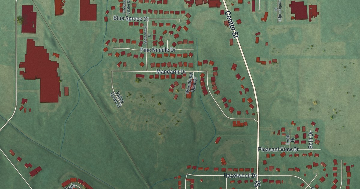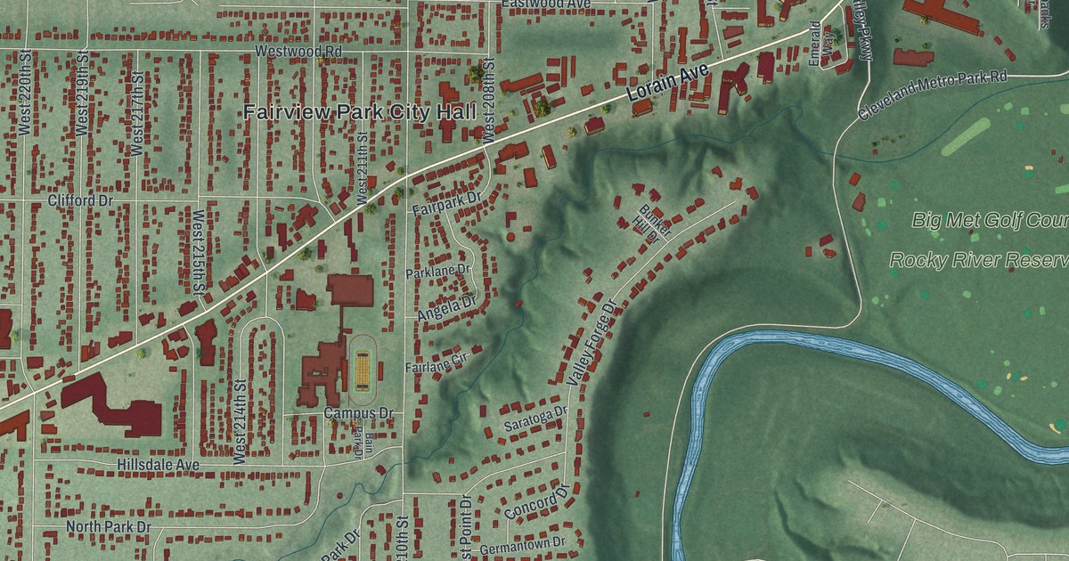
If you grew up in Fairview Park, you know Lorain Avenue, the ball fields at Bohlken Park and the deep green valley of the Rocky River. This is a modern aerial view of Fairview Park in Cuyahoga County, Ohio, made from modern data and given a vintage look. The city's streets fill the left side of the sheet in long, tight rows. On the right, a blue river winds through a wide valley past Big Met Golf Course and Rocky River Reservation.
The Bain Park Cabin on West 210th Street
On this map you'll find Lorain Avenue, Center Ridge Road, Fairview Park City Hall, Westgate Mall, Bohlken Park, Morton Park, Big Met Golf Course, Rocky River Reservation, Mastick Road, West 210th Street, Bain Park Drive, Coffinberry Boulevard, Story Road, Brookpark Road, and more. Each red shape is a building, so zoom in on the preview and look for yours.
The town's best-known landmark may be its cabin. Back when this was Fairview Village, Mayor David R. Bain dreamed of a community center. Workers from the Works Progress Administration built a log cabin in 1937. The WPA was a federal program that gave people jobs during the Depression. Then, on December 14, 1937, a fire burned the cabin down. The dedication was just four days away. The town didn't give up. With the community behind him, Mayor Bain went back to the WPA for money and workers. The new cabin went up in brick on the same foundation. Inside, WPA artists painted an 8 by 12 foot mural of Fairview's history through the 1930s. It opened on January 15, 1940. In 1957, four years after his death, the cabin was named for Mayor Bain. That's all from the Remarkable Ohio marker by the Ohio History Connection. The marker stands on West 210th Street, just south of North Park Drive.
Launches Were Run From a Brookpark Road Control Room
Fairview Park also shares a piece of space history. Part of the NASA campus at 21000 Brookpark Road sits inside the city. There, the Development Engineering Building went up starting in 1963. Its National Register nomination says Lewis engineers managed 119 unmanned launches from a Launch Control Room in that building during its first 35 years. Those launches included missions to other planets, lunar vehicles and satellites. Look for Brookpark Road near the bottom of the sheet.
Lorain Avenue and Rocky River Reservation
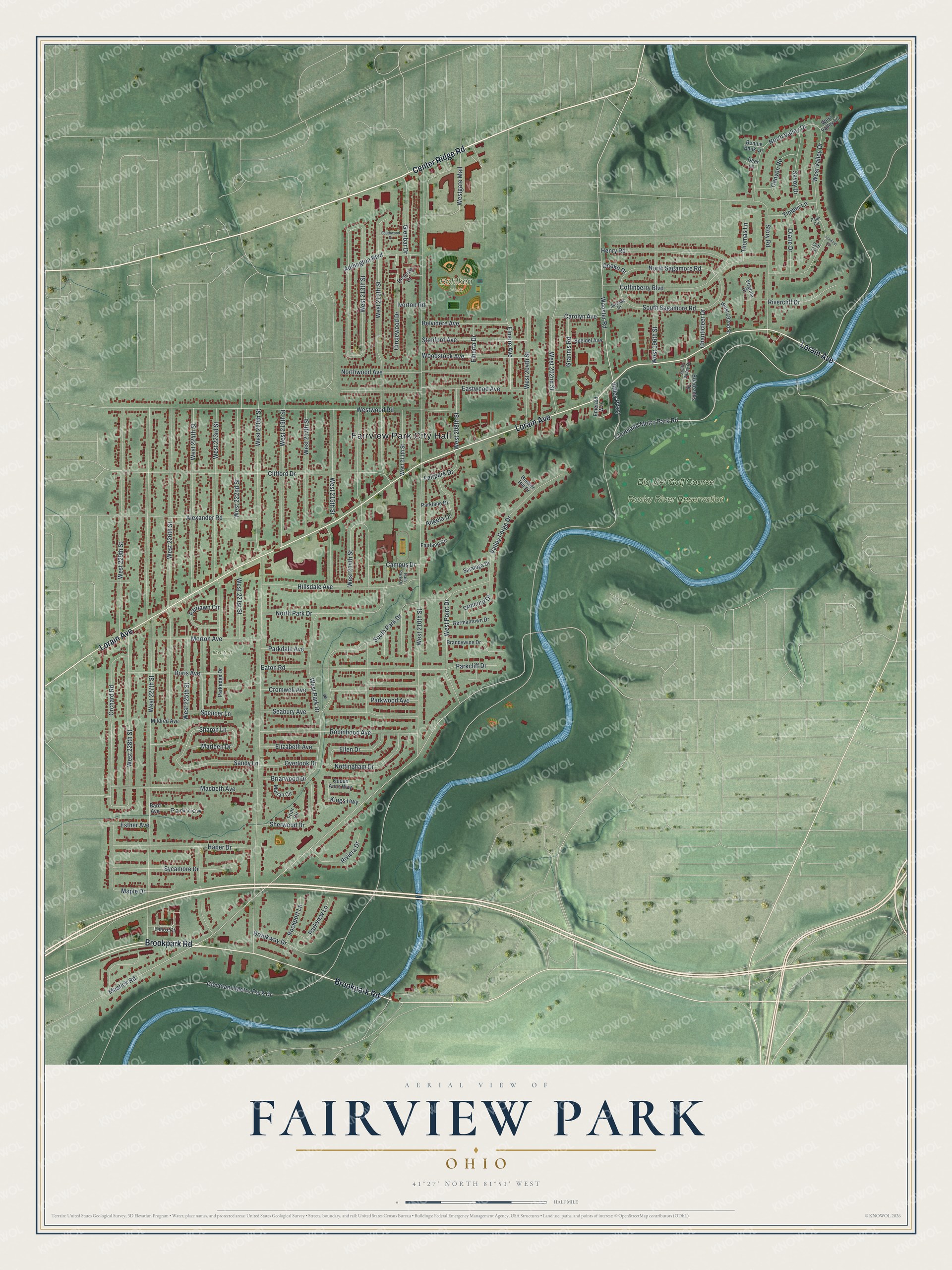
Created by KNOWOL in 2026, this print shows Fairview Park in soft greens, with shaded hills, a winding blue river and red buildings on every block. The title panel reads "Aerial View of Fairview Park, Ohio" with the coordinates 41°27' North 81°51' West.
It fits a living room, a hallway or a home office. It makes a good gift for anyone who played ball at Bohlken Park, knows the Bain Park Cabin or grew up a few blocks off Lorain Avenue. It's also a nice way to send home to someone who moved away. Open the preview and find your street. See sizes and frames for the Fairview Park map.