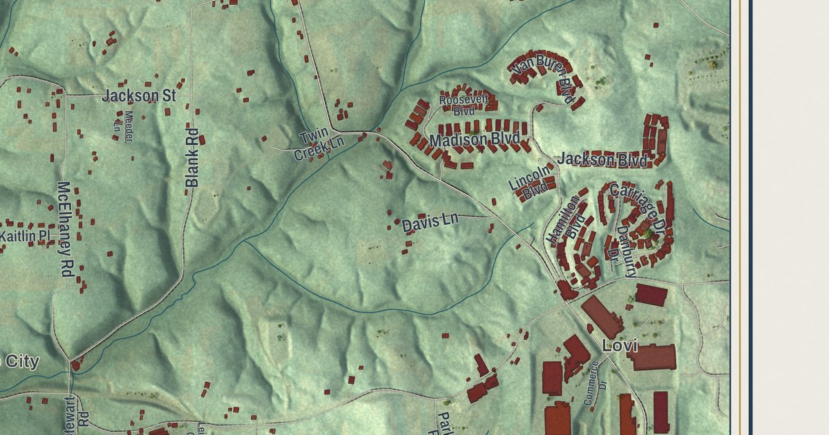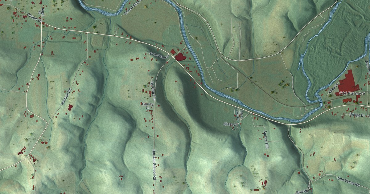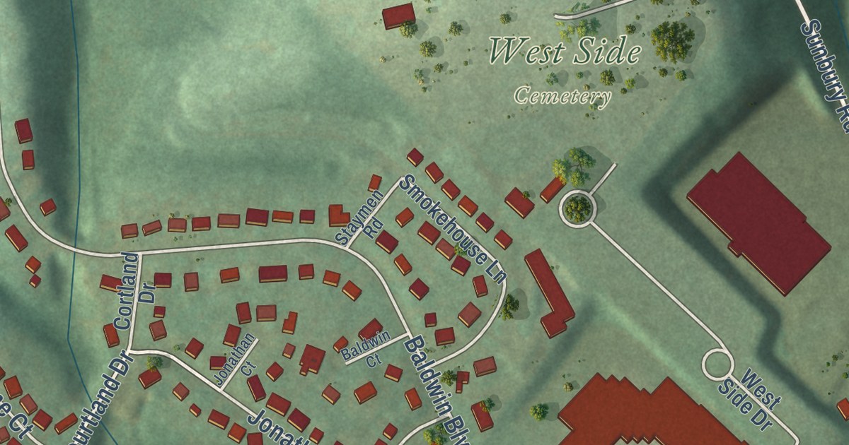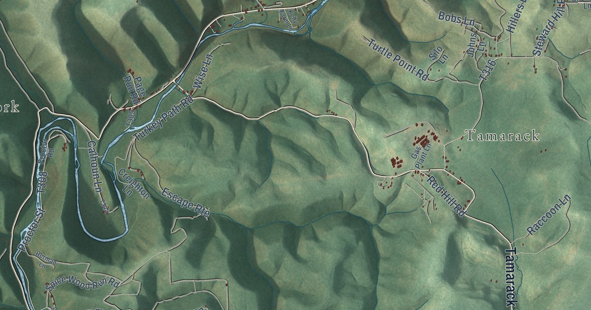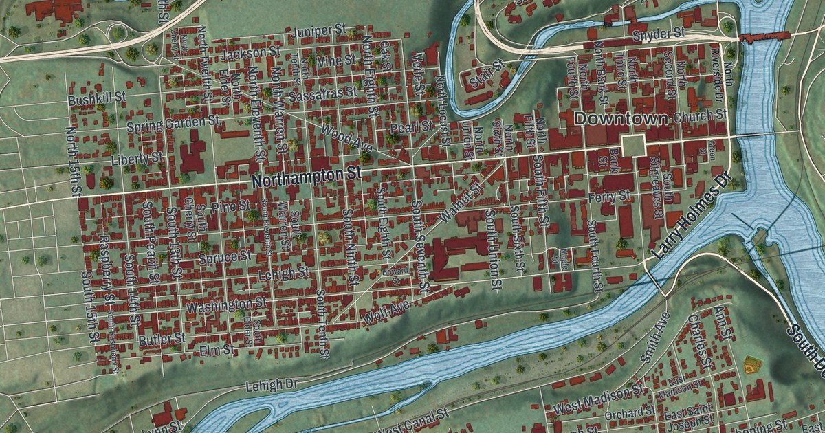
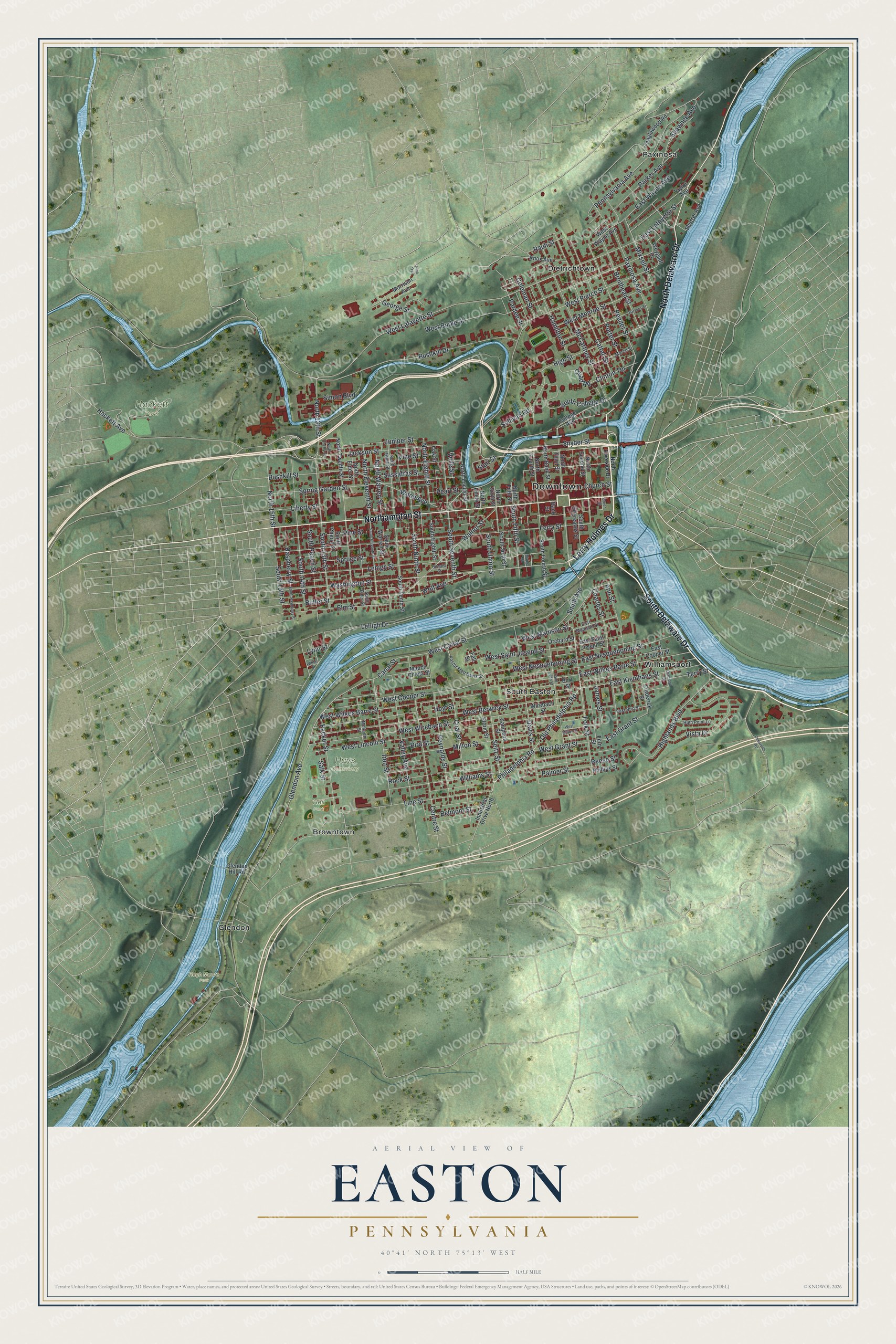
This beautifully detailed map of Easton, Pennsylvania was created in 2026 using aerial imagery combined with modern topographical, census, street and landmark data. It’s a one-of-a-kind view of Easton that combines accurate data with a vintage aesthetic. The map shows every building in its true location, many of the roads carry their names, and the shaded topographic relief shows the shape of the land.
Explore an aerial view of Easton, Pennsylvania
On the map you’ll find Downtown, Hackett Park, Hays Cemetery, Heil Park, Hugh Moore Park, Browntown, Dietrichtown, Glendon, Paxinosa, South Easton, and Williamsport, along with South Delaware Drive, and more. If you look closely you can even find your house accurately drawn in its correct location. Zoom in on the preview to look for yours.
Did you know this piece of Easton, Pennsylvania history?
On July 8, 1776, the Declaration of Independence had its first public readings in just three places: Philadelphia, Trenton and Easton. During the reading here, the Easton flag flew, one of the first non-colonial flags raised in the colonies. That same banner now serves as the city’s official flag.
Take a closer look at the Easton map
Street and place names on the Easton, Pennsylvania map
These names are printed on the map of Easton, Pennsylvania.
Places: Downtown, Hackett Park, Hays Cemetery, Heil Park, Hugh Moore Park, Browntown, Dietrichtown, Glendon, Paxinosa, South Easton and Williamsport.
Streets and roads: South Delaware Drive, Northampton Street, North Delaware Drive, Larry Holmes Drive, Bushkill Street, Washington Street, Clinton Terrace, Spring Garden Street, Reeder Street, Wood Avenue, Glendon Avenue, Seitz Street.
More street names, A to Z
Ann Street, Bank Street, Belmont Street, Bird Street, Brodhead Street, Burr Street, Bushkill Drive, Butler Street, Canal Street, Cattell Street, Cedarville Road, Centre Street, Charles Street, Church Street, Coal Street, Coleman Street, College Avenue, Davis Street, Diamond Street, East Bird Street, East Cooper Street, East Grant Street, East Kleinhans Street, East Lafayette Street, East Madison Street, East Nesquehoning Street, East Saint Joseph Street, East Wayne Avenue, East Wilkes Barre Street, Elm Street, Fell Street, Fern Street, Ferry Street, Folk Street, Frederick Street, George Street, Glendon Hill Road, Green Street, Hackett Avenue, Hamilton Street, Highlands Boulevard, High Point Lane, High Street, Howard Street, Hoyt Street, Industrial Drive North, Iron Street, Jackson Street, James Street, Juniper Street, Knox Avenue, Lehigh Drive, Lehigh Street, Liberty Street, Line Street, Lynn Street, Maple Street, March Street, Mauch Chunk Street, McCartney Street, McKeen Street, Milton Street, Mixsell Street, Morrison Avenue, North 13th Street, North 15th Street, North Bank Street, North Cherry Street, North Eighth Street, North Elder Street, North Eleventh Street, North Fifth Street, North Fourth Street, North Locust Street, North Riverside Drive, North Second Street, North Sixth Street, North Tenth Street, North Third Street, North Twelfth Street, North Union Street, North Warren Street, Oak Street, Old Philadelphia Road, Orchard Street, Packer Street, Palmer Street, Pardee Street, Parker Avenue, Parsons Street, Pastor Fred Davis Street, Paxinosa Avenue, Pearl Street, Pennsylvania Avenue, Philadelphia Road, Phillips Street, Pine Street, Pine Trail, Porter Street, Quad Road, Raspberry Street, Raub Street, Reese Street, Reynolds Street, Rock Street, Saint John Street, Salk Street, Sampson Street, Sassafras Street, Shawnee Avenue, Sherrer Avenue, Simon Boulevard, Smith Avenue, Snyder Street, South 13th Street, South 14th Street, South 15th Street, South Cherry Street, South College Drive, South Eighth Street, South Elder Street, South Eleventh Street, South Fifth Street, South Fourth Street, South Ninth Street, South Peach Street, South Raspberry Street, South Seventh Street, South Sitgreaves Street, South Sixth Street, South Tenth Street, South Union Street, South Warren Street, Spruce Street, Stair Street, Storm Street, Sullivan Road, Tanglewood Road, Taylor Avenue, Terry Street, Valley Avenue, Veile Street, Vine Street, Vista Drive, Walnut Street, West Berwick Street, West Burke Street, West Canal Street, West Cooper Street, West Grant Street, West Lafayette Street, West Lincoln Street, West Madison Street, West Milton Street, West Monroe Street, West Nesquehoning Street, West Pierce Street, West Saint Joseph Street, West Wayne Avenue, West Wilkes Barre Street, West Wirebach Street, Weygadt Drive, Williams Street, Winter Street, Wirebach Street, Wolf Avenue.
See the Easton, Pennsylvania map on a wall
The Easton map as an 18 x 24 inch print in a black frame.

This beautifully detailed map of Easton makes an attractive addition to your office, library, or den, and it can even be used to teach children the geography and history of the area. It also makes a great gift for someone who left Easton and still calls it home. When you’re done exploring, click here to get your copy of the Easton map.