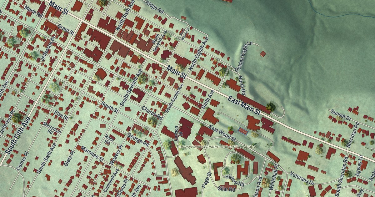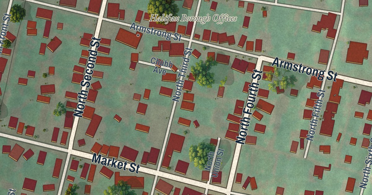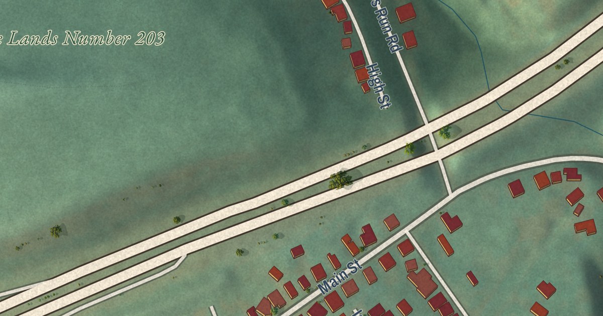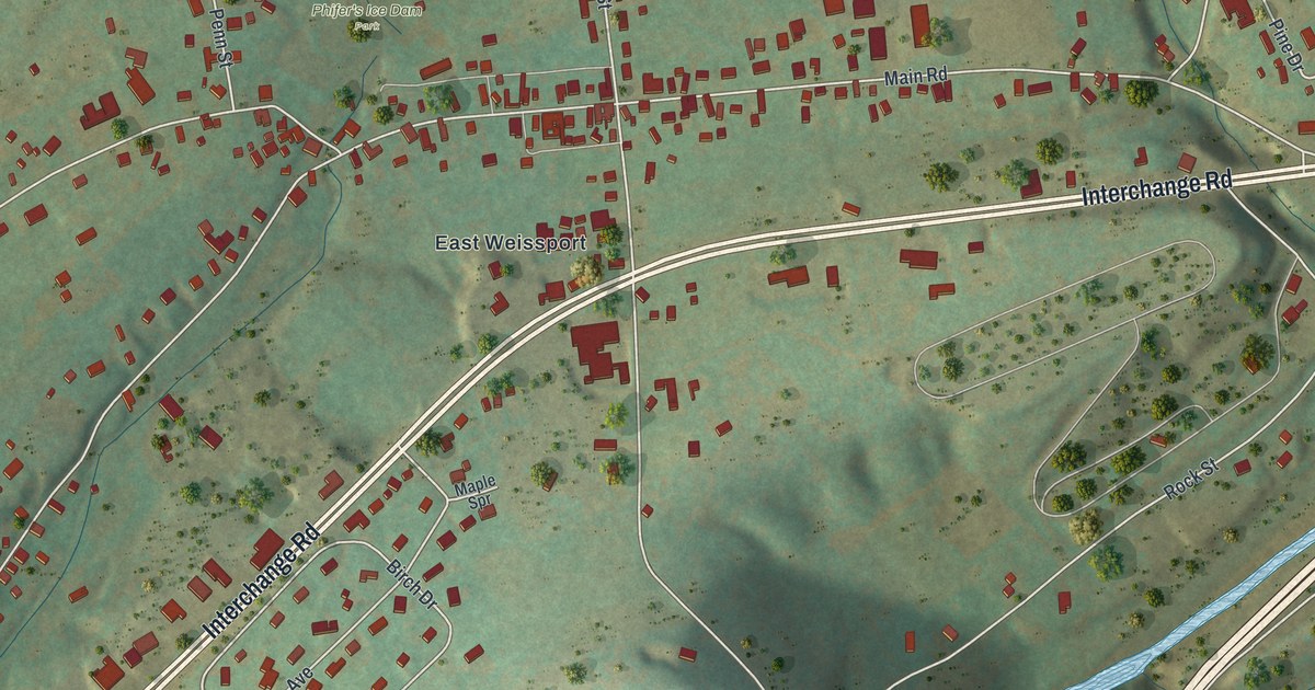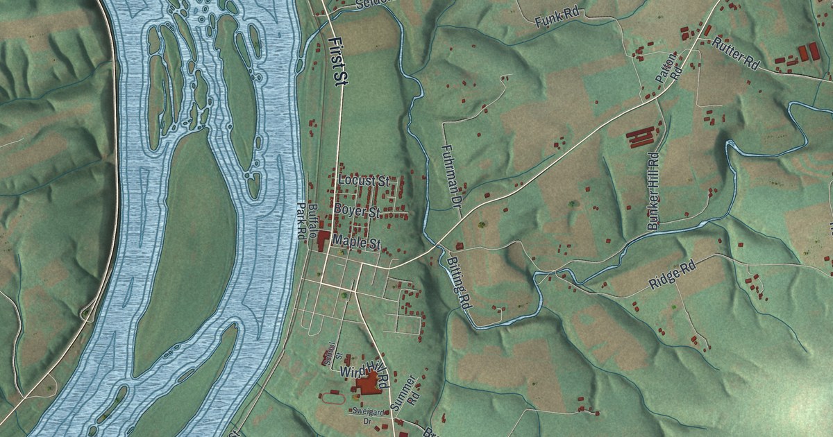
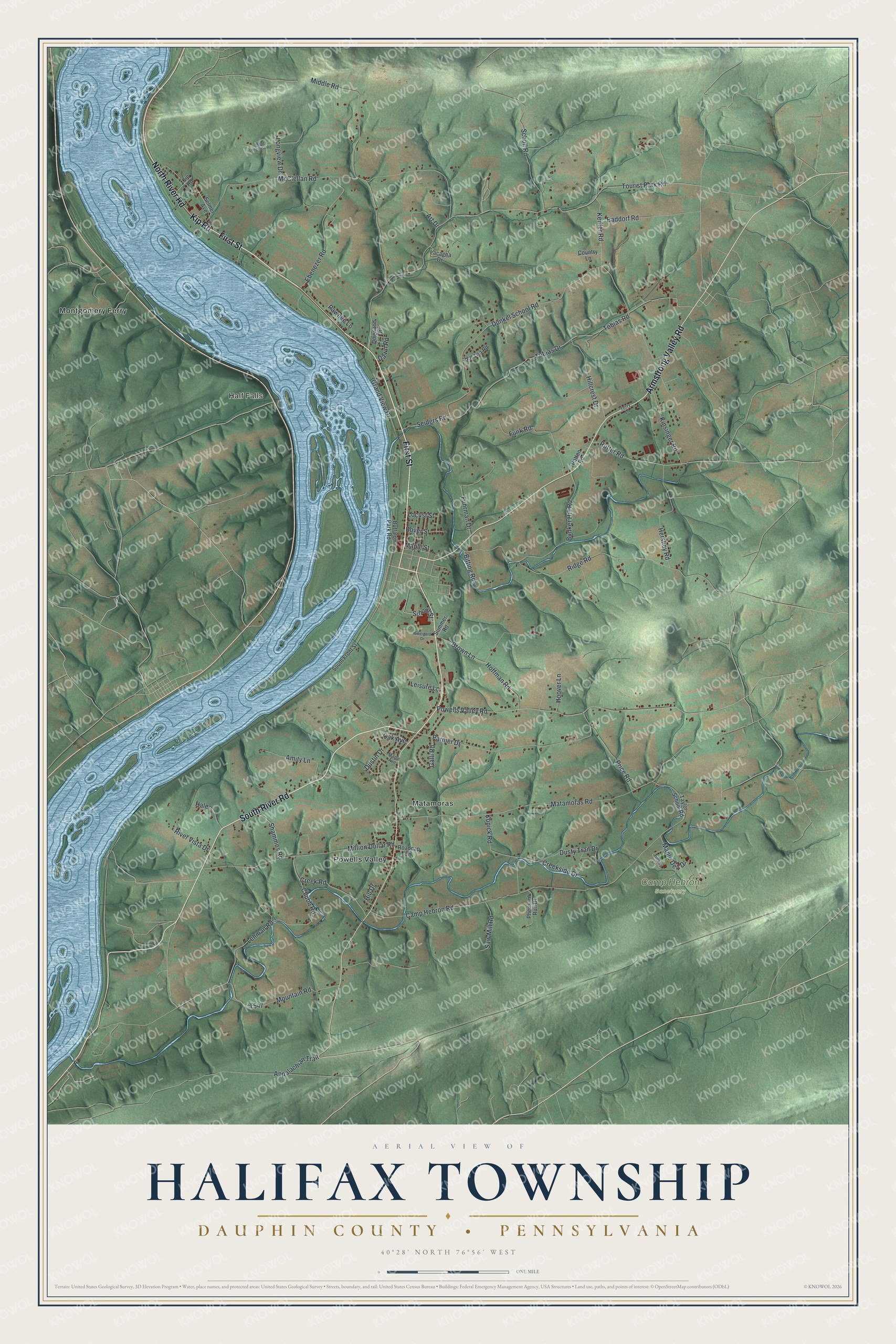
This beautifully detailed map of Halifax Township, Pennsylvania was created in 2026 using aerial imagery combined with modern topographical, census, street and landmark data. It’s a one-of-a-kind view of Halifax Township that combines accurate data with a vintage aesthetic. The map shows every building in its true location, many of the roads carry their names, and the shaded topographic relief shows the shape of the land.
Explore an aerial view of Halifax Township, Pennsylvania
On the map you’ll find Half Falls, Camp Hebron Sanctuary, Matamoras, Montgomery Ferry, and Powells Valley, along with First Street, South River Road, Armstrong Valley Road, North River Road, Kip Road, Tobias Drive, Lehman Road, and more. If you look closely you can even find your house accurately drawn in its correct location. Zoom in on the preview to look for yours.
Take a closer look at the Halifax Township map
Street and place names on the Halifax Township, Pennsylvania map
These names are printed on the map of Halifax Township, Pennsylvania.
Places: Half Falls, Camp Hebron Sanctuary, Powells Valley, Montgomery Ferry and Matamoras.
Streets and roads: First Street, North River Road, Armstrong Valley Road, South River Road, Kip Road, Lehman Road, Tobias Drive, Ridge Road, Seiders Road, Camp Hebron Road, Tourist Park Road, Matamoras Road.
More street names, A to Z
Amity Lane, Appalachian Trail, Art Drive, Baddorf Road, Bitting Road, Boyer Street, Brown Lane, Buffalo Park Road, Bunker Hill Road, Chubb Road, Country Lane, Creek Road, Creekside Drive, Dawn Road, Dogwood Drive, Dunkel School Road, Dustin Drive, Dusty Trail Drive, Ebenezer Road, Fuhrman Drive, Funk Road, Galli Road, Grand View Drive, Hale, Hershey Road, Hillcrest Drive, Hill Drive, Hill Top Road, Hoffman Road, Hoover Lane, Keiffer Road, Kinsinger Road, Konick Road, Lacagna Drive, Leisure Lane, Locust Street, Longview Drive, Maple Avenue, Maple Dell Drive, Maple Street, McClellan Road, Middle Road, Million Dollar Road, Mountain Road, Oak Avenue, Parmer Drive, Patton Road, Pawnee Lane, Pheasant Run Drive, Powells Valley Road, Price Road, River Vista Drive, Roadcap Lane, Rutter Road, Saw Mill Road, Scholl Road, School Street, Selmer Avenue, Shammos Road, South Front Street, Summer Road, Sweigard Drive, Taylor School Road, Terry Lane, Tobias Road, Turkey Lane, West Longview Road.
See the Halifax Township, Pennsylvania map on a wall
The Halifax Township, Dauphin County map as an 18 x 24 inch print in a black frame.

This beautifully detailed map of Halifax Township makes an attractive addition to your office, library, or den, and it can even be used to teach children the geography and history of the area. It also makes a great gift for anyone with Halifax Township roots. When you’re done exploring, click here to get your copy of the Halifax Township map.