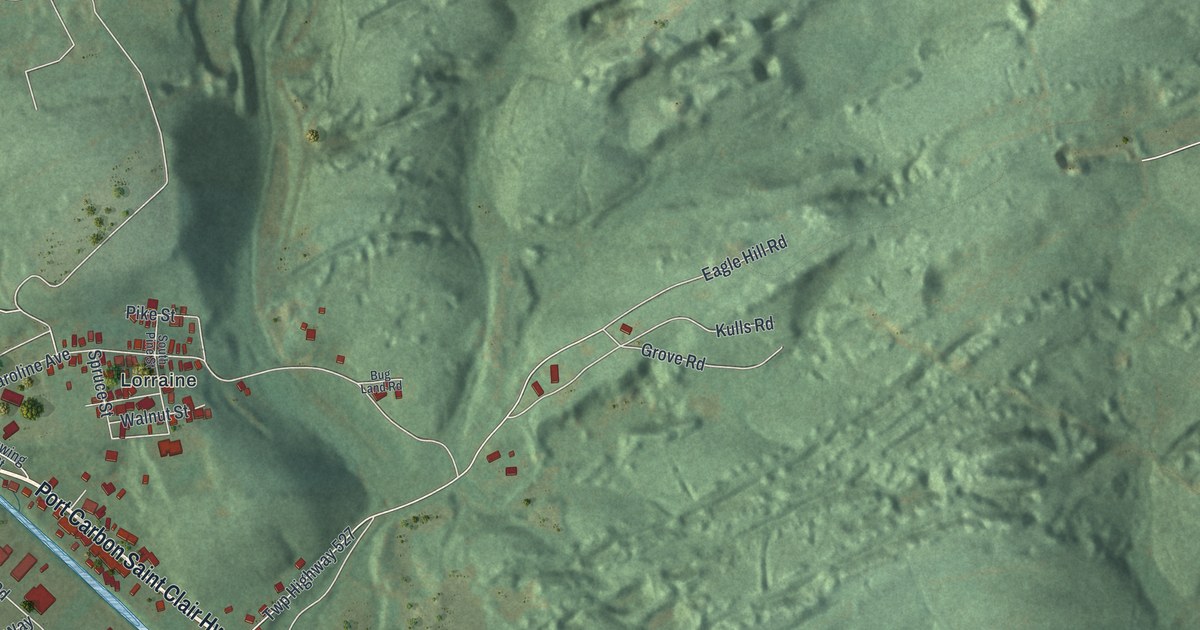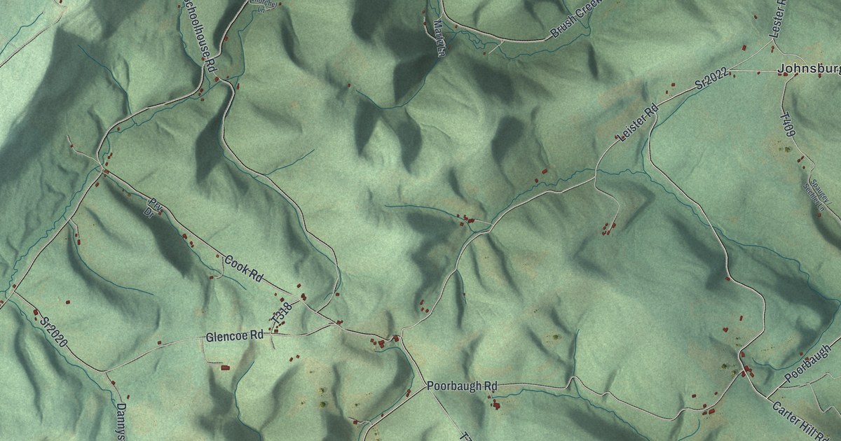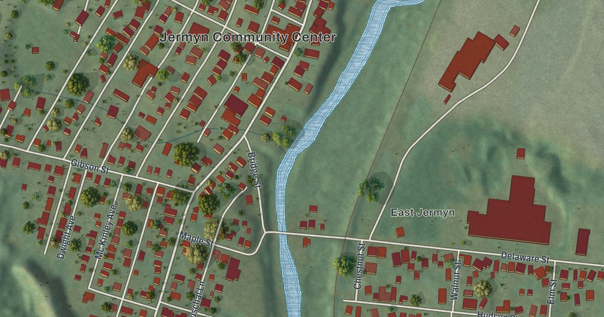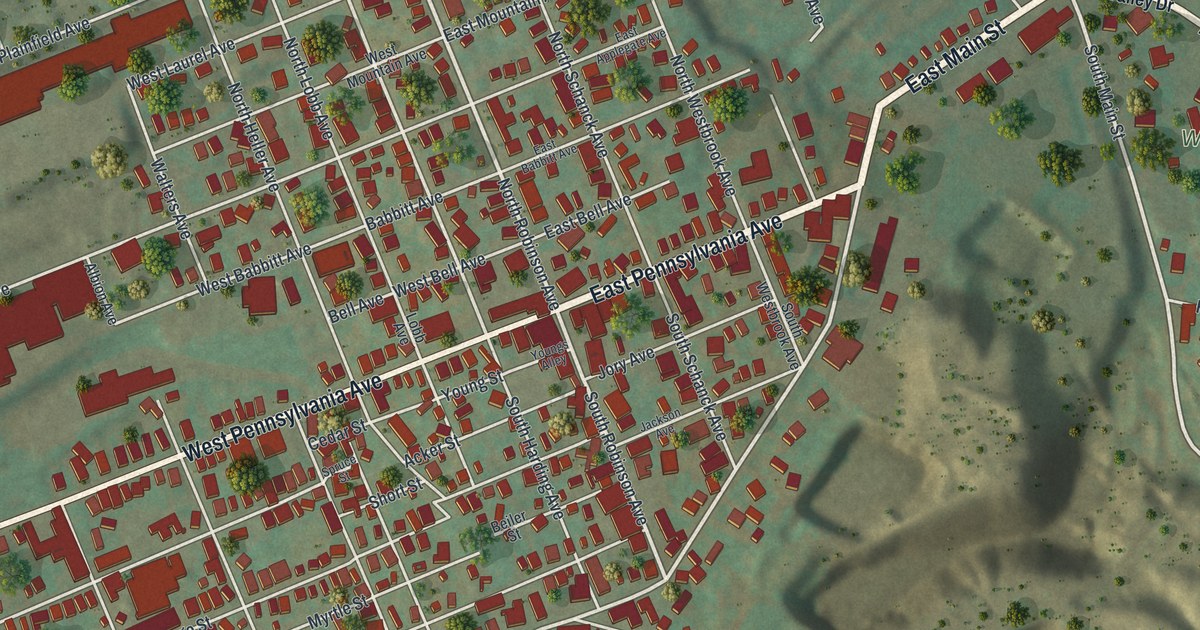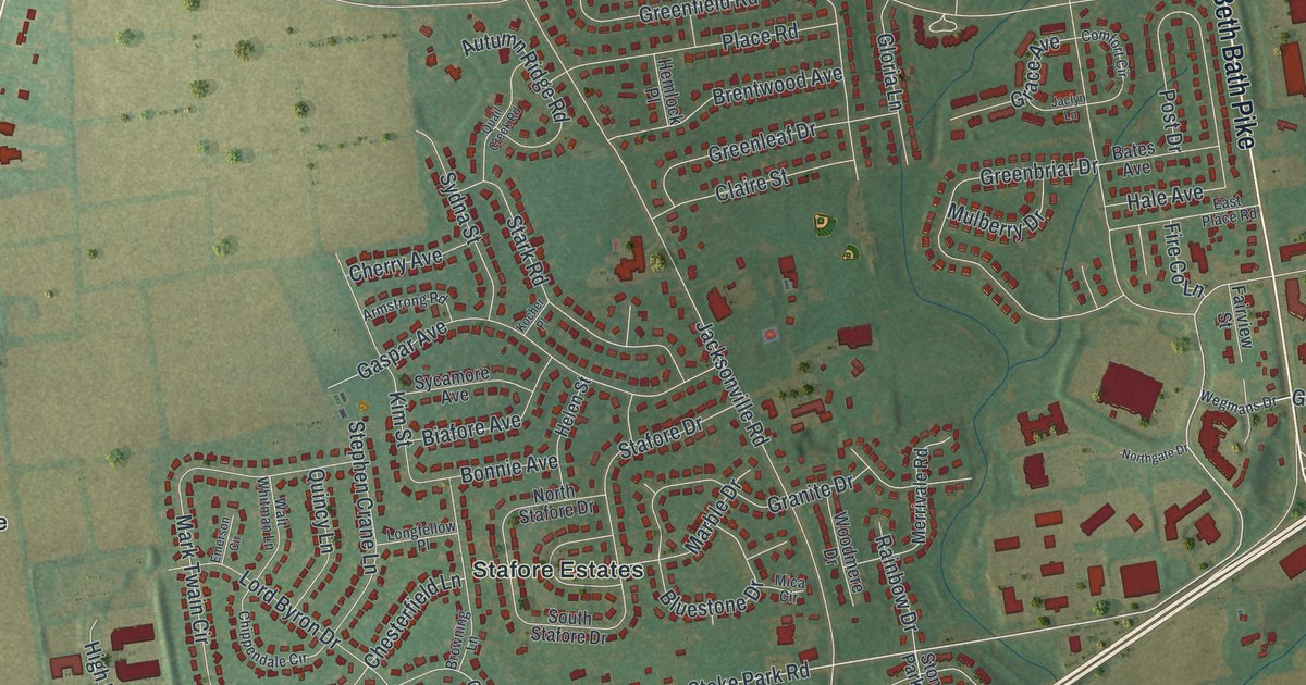
If you grew up in Stafore Estates, Westgate Hills or out by Schoenersville, this map was made for you. It's a new aerial view of Hanover Township in Northampton County, Pennsylvania, built from modern data and given a vintage look. You'll see the tight loops of streets in the middle of the township, the big buildings near Chickentown and Hanoverville, and the long line of Beth Bath Pike. A wide highway cuts across on a slant, and a thin blue creek winds along the lower right.
Streets and places on the Hanover map
On this map you'll find Beth Bath Pike, Schoenersville Road, Airport Road, Stoke Park Road, Hanoverville Road, Jaindl Boulevard, Illicks Mill Road, Crawford Park, Stafore Estates, Delta Manor, Westgate Hills, Shimer, Chickentown, Hanoverville, and more. Each red shape is a building, so zoom in on the preview and look for yours.
David Tannenberg on Schoenersville Road
Schoenersville Road, printed on this map, has a long past. Burnside Plantation stands on Schoenersville Road, just over the line in Bethlehem. From 1760 to 1765, David Tannenberg lived there. He built organs as an apprentice to Johann Gottlob Klemm. Tannenberg was born in Germany and came to the Moravian town of Bethlehem in 1749.
He later moved to Lititz and kept building. A state historical marker calls him one of America's foremost pipe organ builders. He made nearly 50 instruments before he died in 1804, while at work in York. The marker says they show the finest skill among early American organ builders.
Another old place gave its name to a road here. Illicks Mill Road is printed on this map.Illick's Mill, at 130 Illick's Mill Road, was added to the National Register of Historic Places in 2005.
A Hanover map from Schoenersville to Westgate Hills
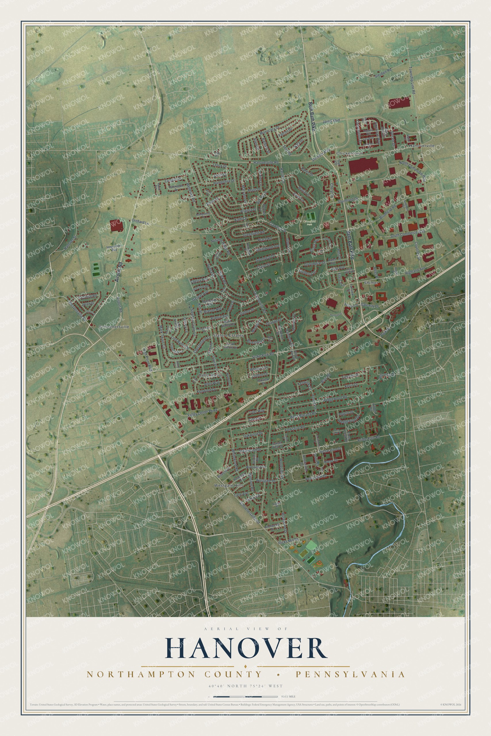
Created by KNOWOL in 2026, this print shows Hanover in soft greens and tans, with red buildings and thin white roads. The title panel at the bottom reads "Aerial View of Hanover," then "Northampton County • Pennsylvania," then 40°40' North 75°24' West.
It fits a front hall, a home office or a family room. It's a good gift for someone who knows Crawford Park or grew up on a street off Stoke Park Road. Open the preview and find the streets you know. See sizes and frames for the Hanover, Northampton County map.