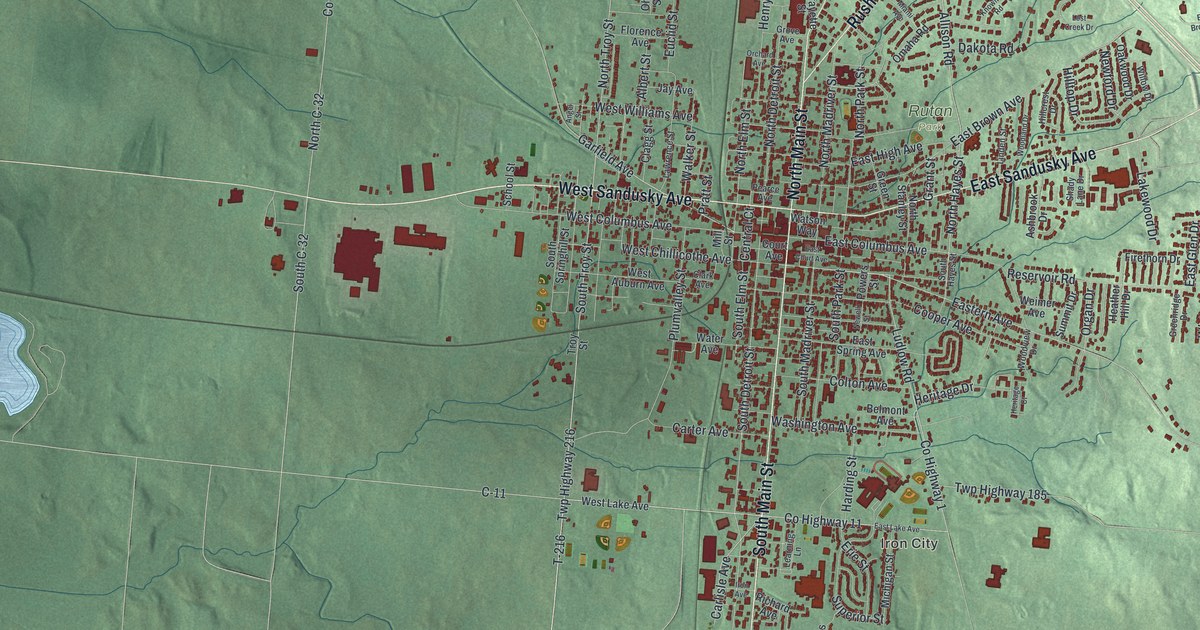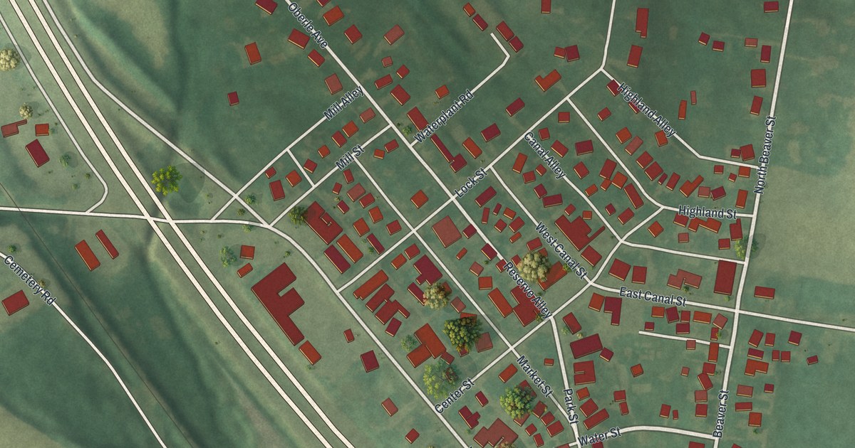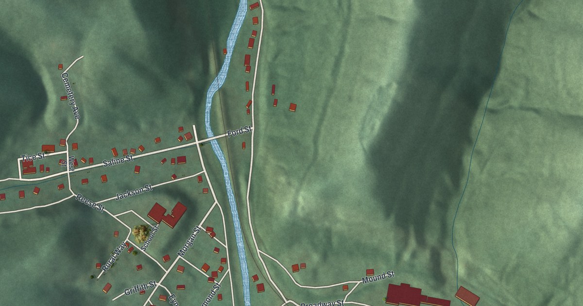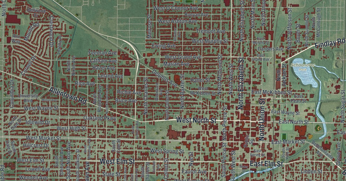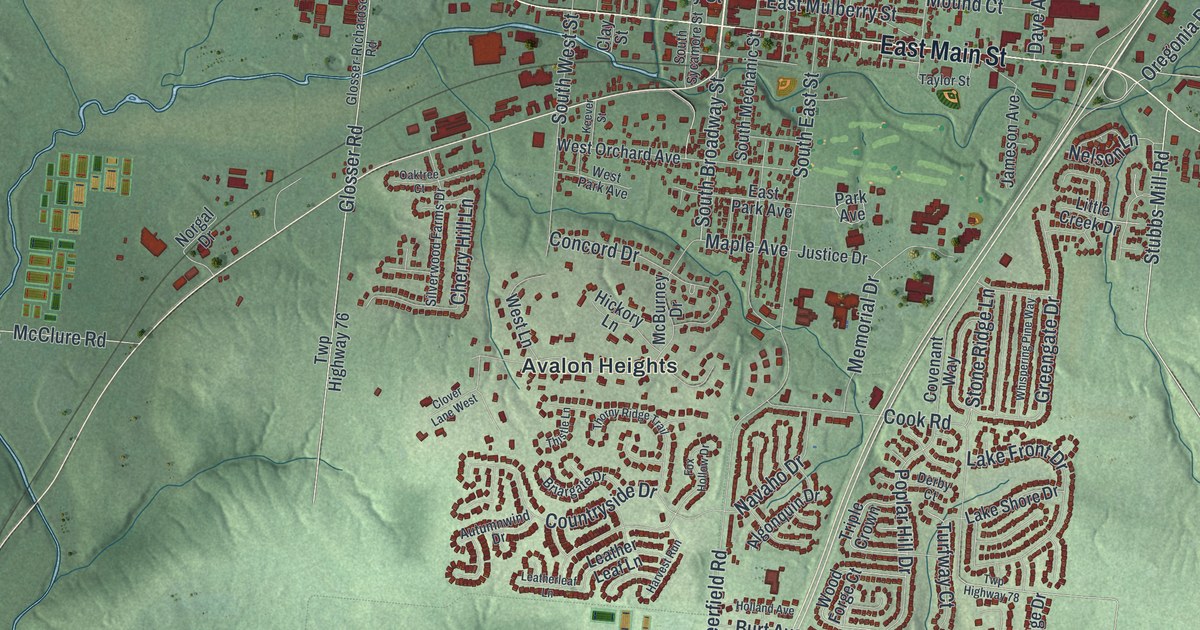
If you grew up in Lebanon, this print puts familiar streets within reach. It's an aerial view of Lebanon in Warren County, Ohio, made with modern data and a vintage feel. Red buildings fill the town's street grid, with green hills all around. Lebanon City Hall and the Avalon Heights neighborhood are named on the map too.
West Main Street and Tom Corwin's Home
On this map you'll find North Broadway Street, South Broadway Street, West Main Street, East Main Street, Columbus Avenue, Lebanon City Hall, West Mulberry Street, Maple Avenue, Franklin Road, Neil Armstrong Way, Avalon Heights, and more. Each red shape is a building, so zoom in on the preview and look for yours.
West Main Street holds a link to Ohio's early leaders. The Thomas Corwin historical marker stands at 210 West Main Street. It tells how Corwin lived here from 1839 until his death in 1865. His nickname, the Wagon Boy, came from his War of 1812 service. Known for his wit and skill at speaking, he became Ohio's governor in 1840.
Corwin later spoke out against the Mexican War in the Senate in 1847. He also served as President Lincoln's minister to Mexico. His Lebanon home had a family story of its own. His brother-in-law, Phineas Ross, built it and first lived there in 1818. Find West Main Street on the print to place that story in town.
Keep Lebanon's Main Street Close
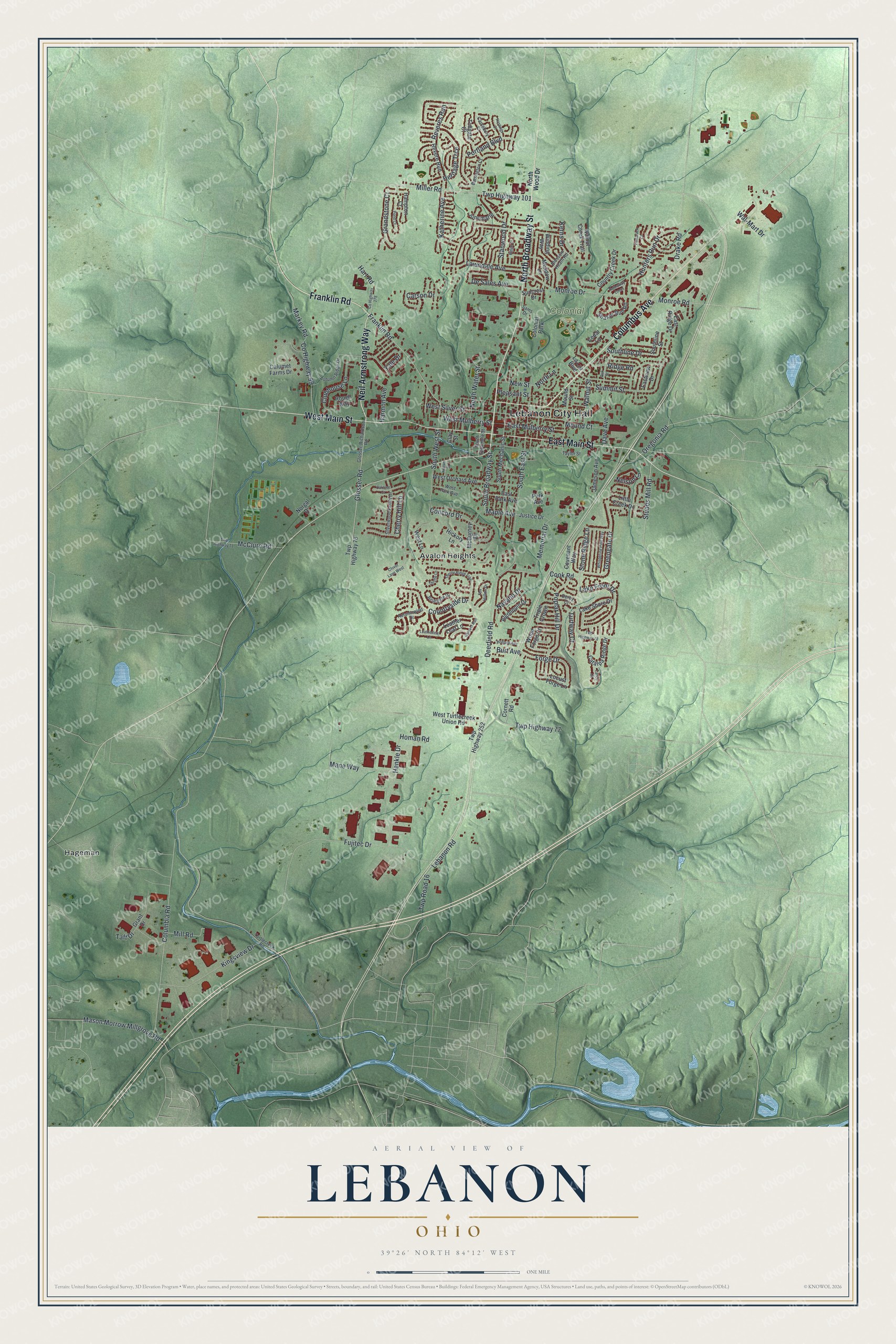
Created by KNOWOL in 2026, the print pairs shaded green terrain with red buildings and blue water. A cream border surrounds the view. The title panel reads AERIAL VIEW OF, LEBANON, OHIO, with 39°26' NORTH 84°12' WEST below.
Hang it in a living room, home office, or entryway. It's a gift for someone who knows West Main Street and wants to keep Lebanon close. Open the preview and look for the block you know best. See sizes and frames for the Lebanon map.