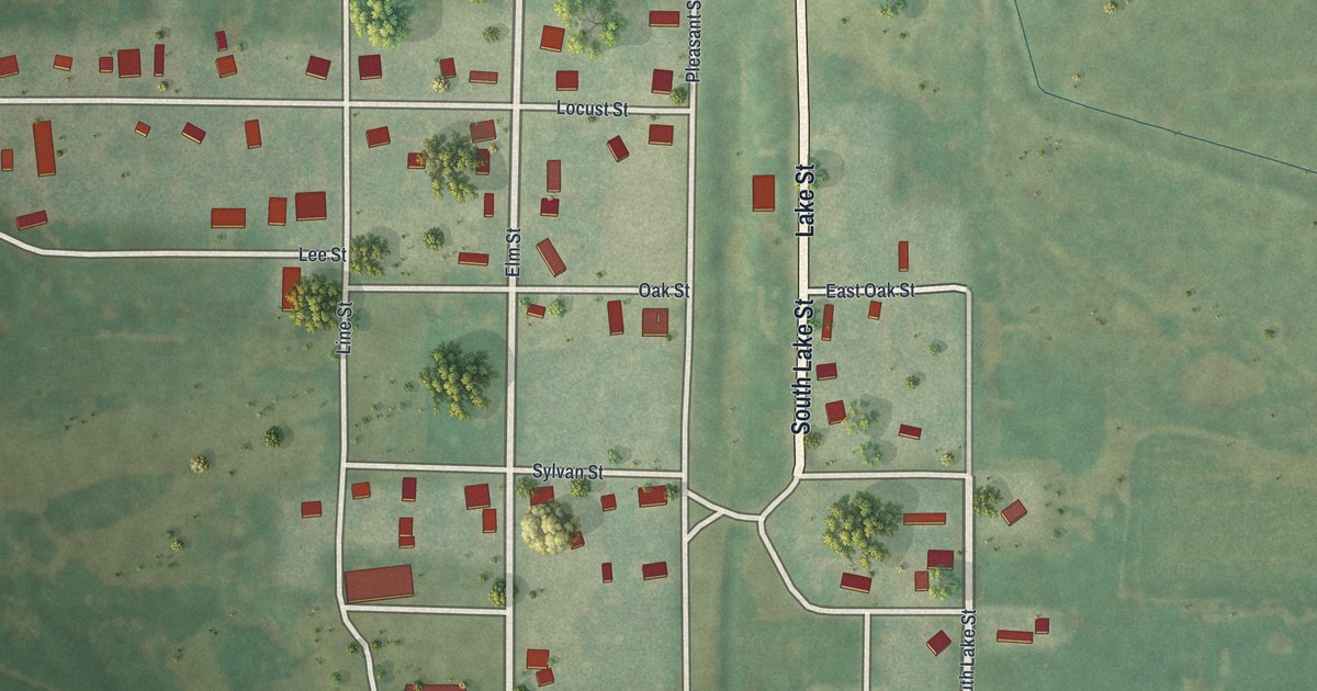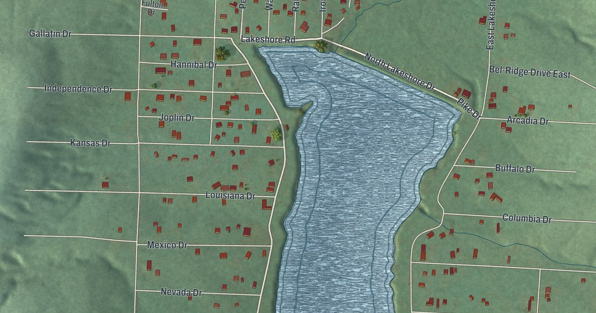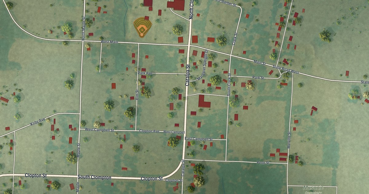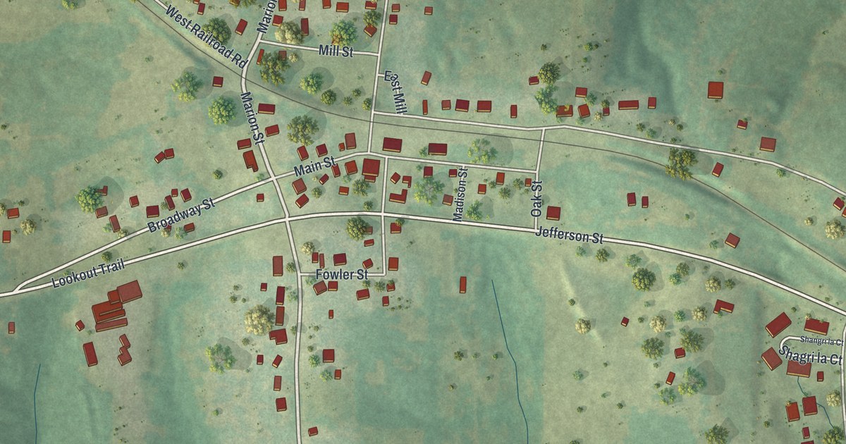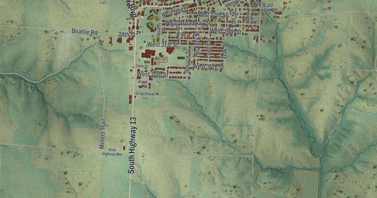
If you grew up in Higginsville, look for your old block on this print. It's a modern aerial view of Higginsville in Lafayette County, Missouri, made with modern data and a vintage feel. Red buildings fill the town grid, with green fields and blue streams beyond it.
Higginsville's streets and first two churches
On this map you'll find North Main Street, South Main Street, Higginsville City Hall, Highway Boulevard, Fairground Avenue, Walnut Street, Shelby Street, Spruce Street, West Broadway Street, West 20th Street, Elm Street, and more. Each red shape is a building, so zoom in on the preview and look for yours.
Higginsville's first two churches had a builder in common. Young's history of Lafayette County, Missouri credits both to one contractor. The account places that work within four years spent at his trade. It's a small piece of the town's early building story.
Three Higginsville places are on the National Register of Historic Places: the Houx-Hoefer-Rehkop House at 1900 Walnut St. (listed 1983), the Chicago and Alton Railroad Depot at 2109 Main St. (1987), and Douglass School at 215 West 16th St. (2023).
Higginsville from Main Street to the fields
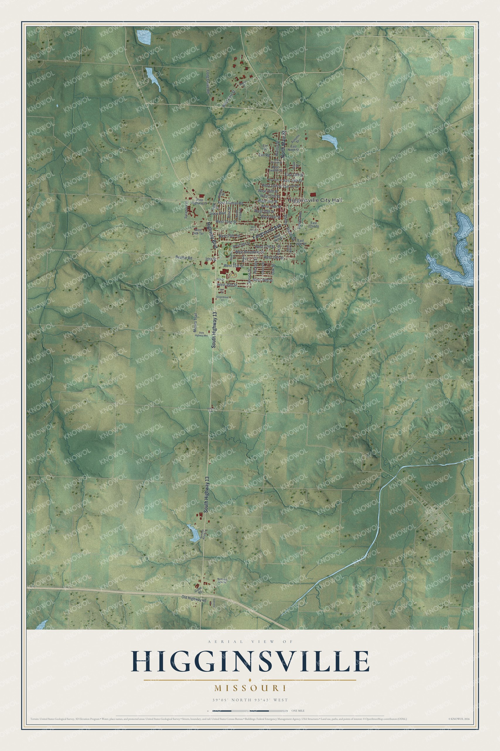
Created by KNOWOL in 2026, this print pairs soft green land with red buildings and pale blue water. A cream border surrounds the view. The title panel reads AERIAL VIEW OF HIGGINSVILLE, MISSOURI, with 39°05' NORTH 93°43' WEST below.
Hang it in a living room, office, or entryway to keep home close. It's a gift for someone who grew up on Walnut Street or still has family in Higginsville. Open the preview and take a closer look at the streets you know. See sizes and frames for the Higginsville map.