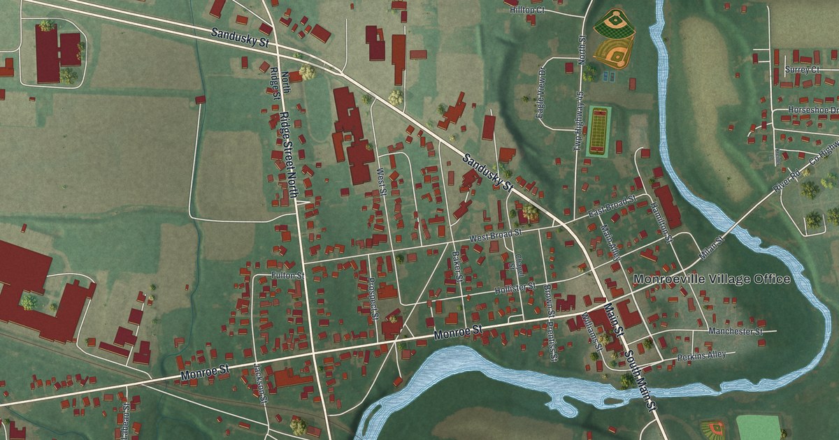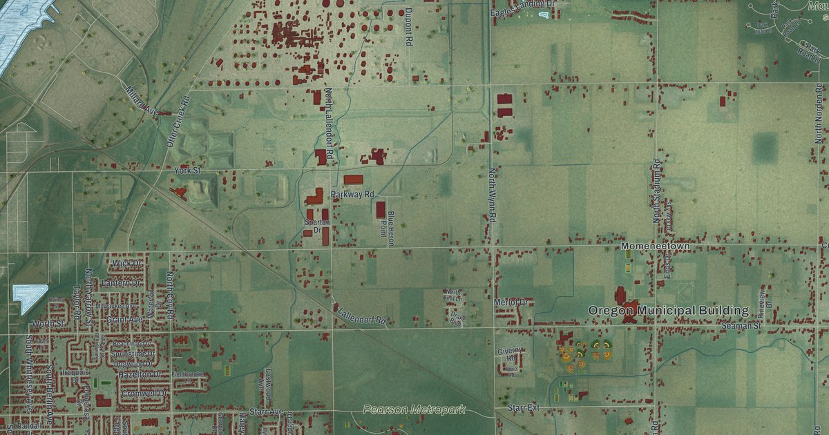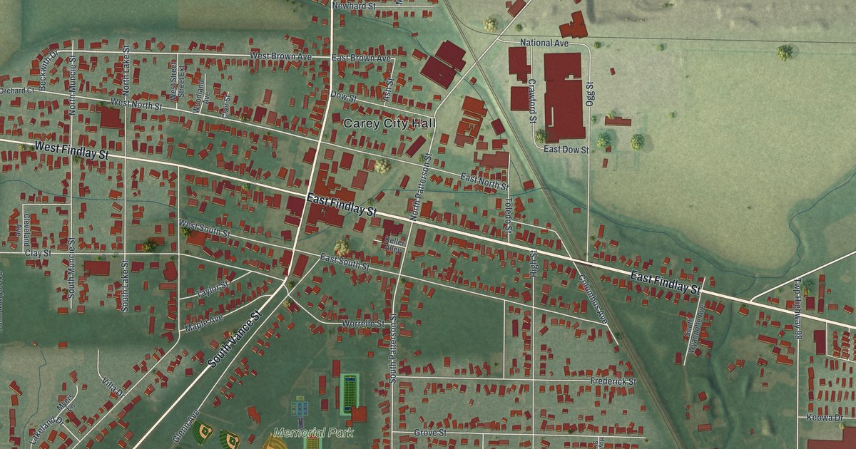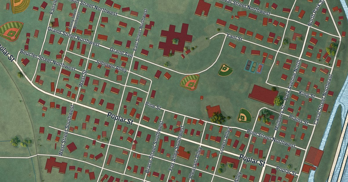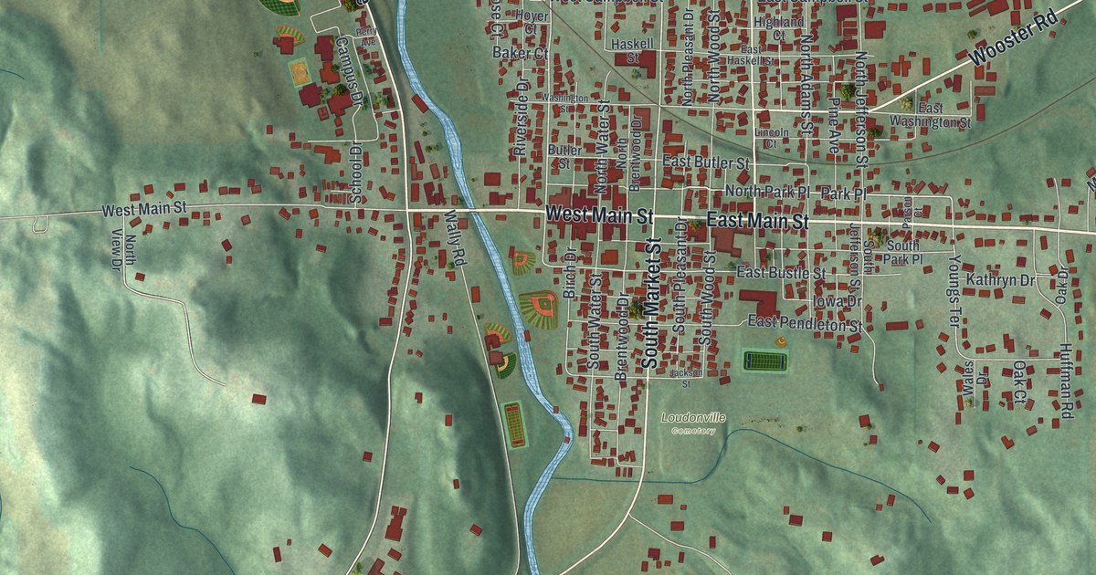
If you grew up in Loudonville, here's a view of home to keep close. This aerial map of Loudonville in Ashland County, Ohio, is built from modern data with a vintage feel. Red buildings fill the town's blocks beside a winding blue river. Green hills surround the streets, with Mohican Memorial State Forest named on the sheet.
Mill Road and Loudonville's early mill
On this map you'll find East Main Street, West Main Street, Wooster Road, North Water Street, South Market Street, North Union Street, Wally Road, Mill Road, Banks Avenue, Park Place, Loudonville Cemetery, Mohican Memorial State Forest, and more. Each red shape is a building, so zoom in on the preview and look for yours.
A mill was part of Loudonville's story by 1818. The History of Ashland County, Ohio says Alexander Skinner built it that year. The wooden mill had two sets of grinding stones. Caleb Chapel was both its carpenter and its first miller. Mill Road is printed on today's map, a good excuse to tell that story.
Milling still mattered when Henry Howe described Loudonville in 1891. He listed a well-equipped roller-process mill among the town's main industries. His account also placed the town beside the Black Fork of the Mohican River. You'll see the same river on the map, with the red buildings of town along it and green hills around them.
Charles Kettering was born three miles north of Loudonville. He held over 140 patents, and his electric starter debuted on the 1912 Cadillac.
Keep Loudonville and its Main Streets close
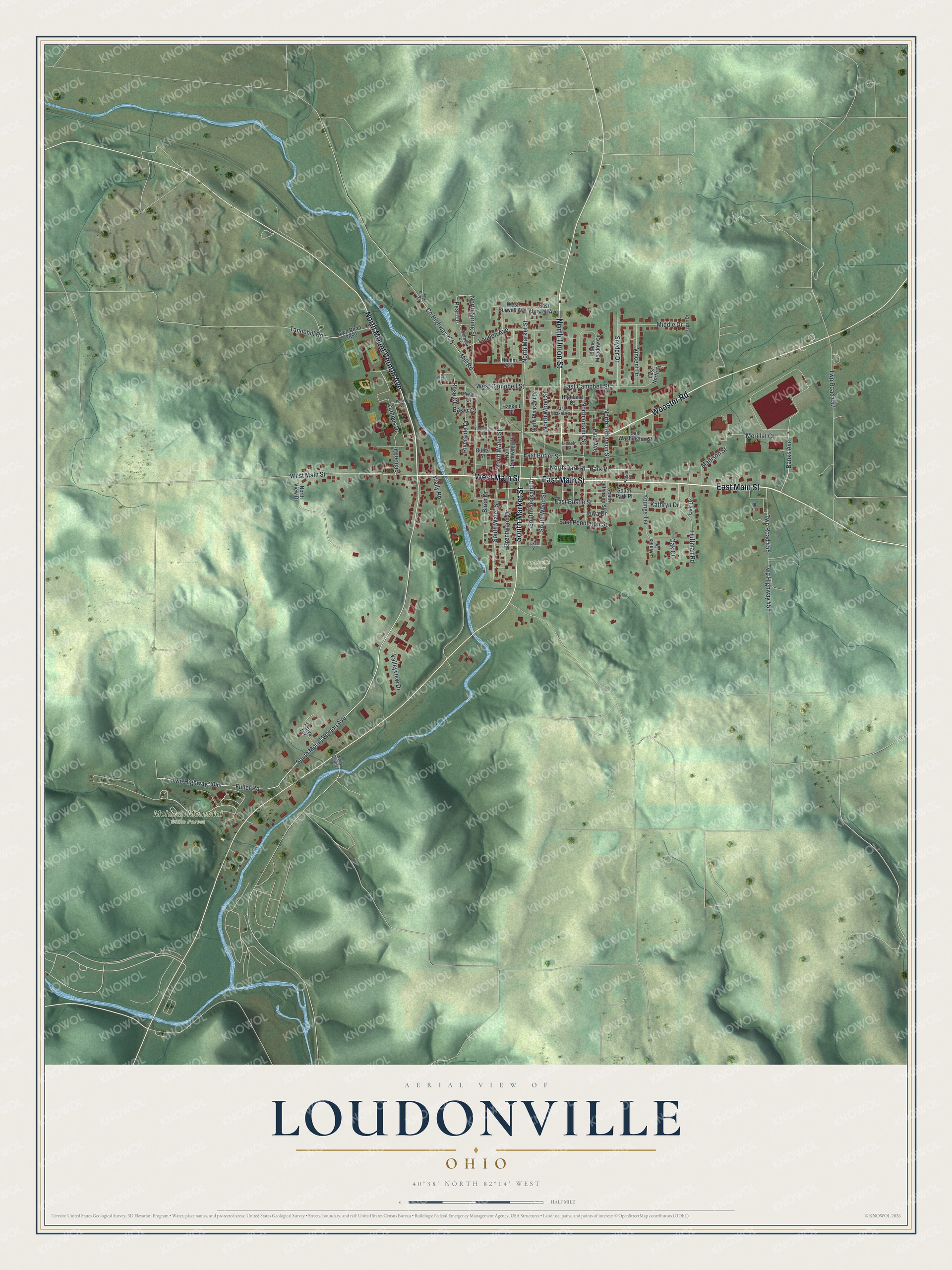
Created by KNOWOL in 2026 from public map and Census data, the print uses shaded green hills, blue water, red buildings, and a cream border. The title panel reads AERIAL VIEW OF, LOUDONVILLE, OHIO, and 40°38' NORTH 82°14' WEST.
Hang it in a living room, entryway, or office. It's a gift for someone who grew up near East Main Street or moved away from Loudonville. Open the preview to find a familiar block and take a closer look at home. See sizes and frames for the Loudonville map.