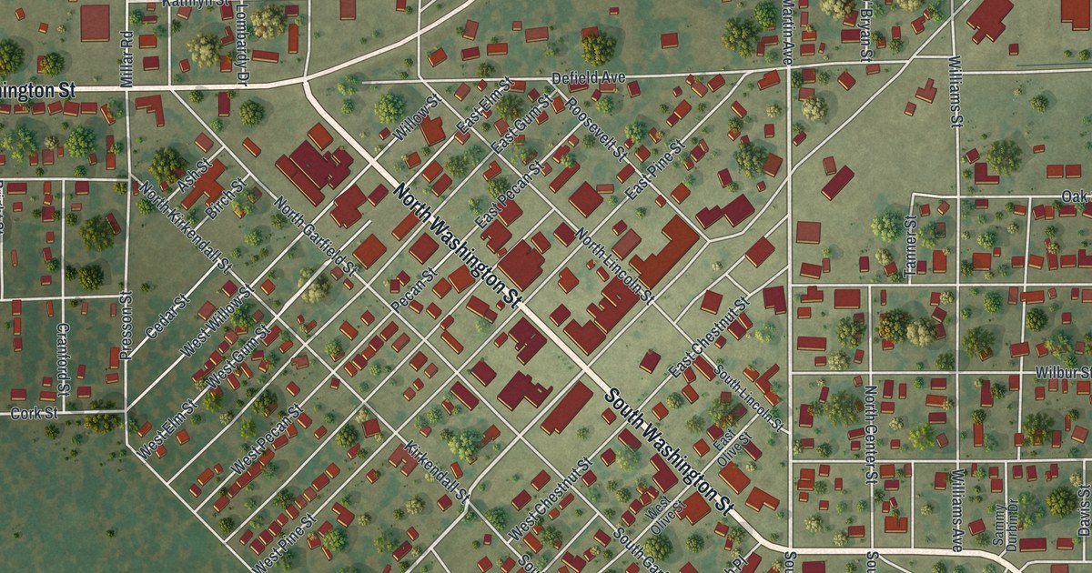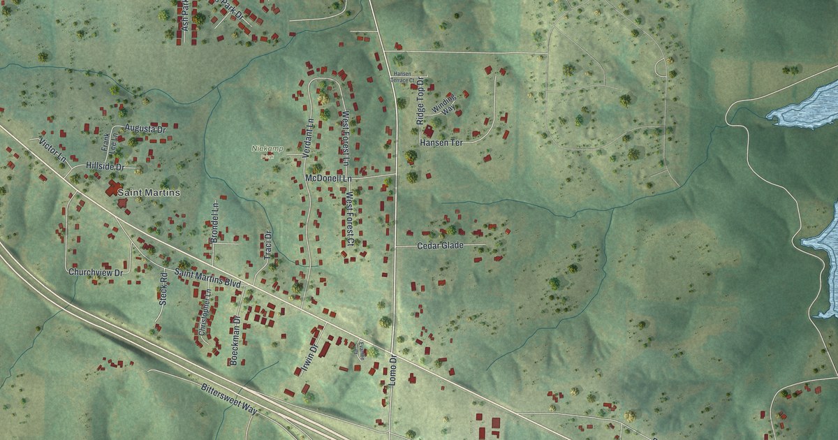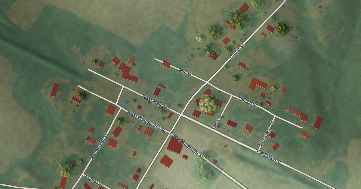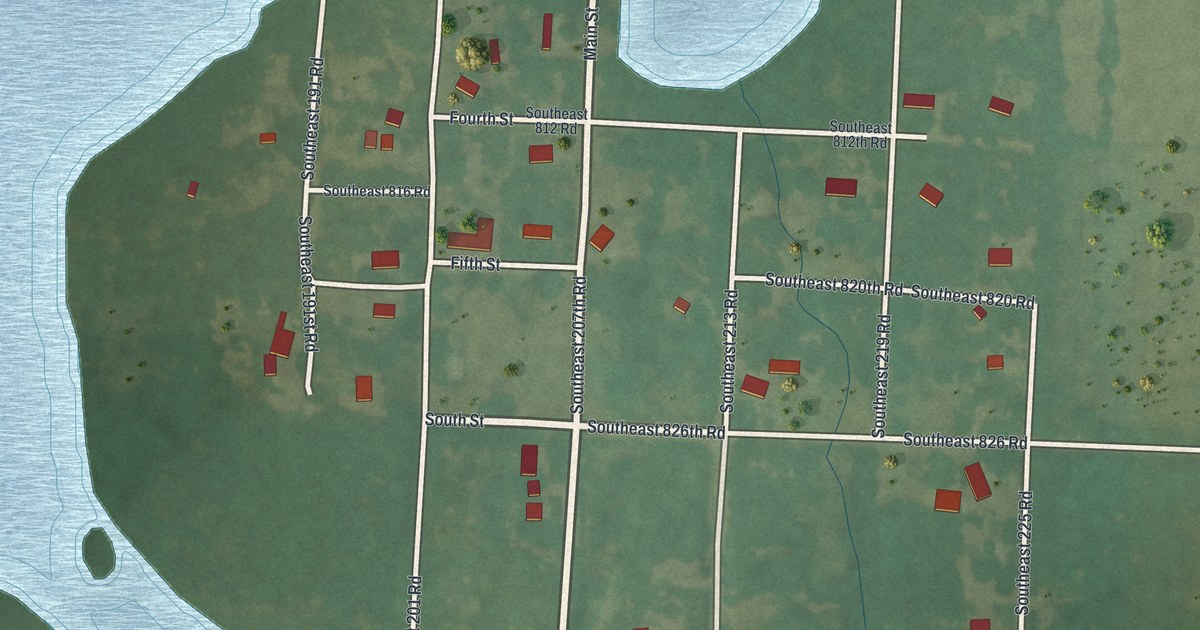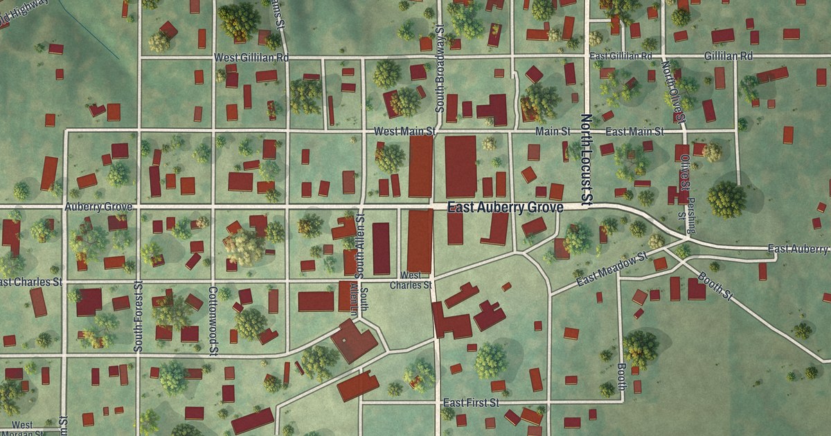
If you grew up in Jamesport, farm outside it, or still drive in for the day, this map gives you plenty to find. It's a modern aerial view of Jamesport in Daviess County, Missouri, built from modern data with a vintage feel. The street grid sits in the middle of the sheet, with more than 500 buildings drawn in deep red. Old Highway 6 cuts across the top half, and soft green hills fill the corners.
Auberry Grove, Main Street and South Broadway Street
In the middle of the map you'll find Auberry Grove, East Auberry Grove, Cottonwood Street and South Broadway Street. Main Street sits just north of them, with Gillilan Road and Washington Street beyond it. On the west side are West Auberry Grove and Callison Avenue. Old Highway 6 crosses the top half of the sheet. Many roads are named on the map. Each red shape is a building, so zoom in on the preview and look for yours.
The first school on Auberry's farm
The Auberry name is printed right through the middle of town, on West Auberry Grove, Auberry Grove and East Auberry Grove. It's an old name here. A 1922 county history quotes an 1882 account: "The first school taught was in a log cabin on Auberry's farm and taught by Lewis McCoy." The same history says Ketron Chapel was the first church built in Jamesport Township, in 1858 or 1859, at a cost of 750 dollars. Look for the Auberry name across the map; the old account doesn't say where the cabin stood.
Settlers from Virginia and the Jamesport Gazette
The settlers came a long way to get here. The 1882 history says James Collison, Richard Hill, John McClung and Robert Miller all came from Virginia and settled in what became Jamesport Township in 1838. The map prints Callison Avenue on the west side of town, and the old book spells the settler's name Collison. A 1922 county history says Jamesport's first newspaper, the Gazette, had outlasted the town's other papers by then. On the map, open green ground surrounds the red cluster of buildings in town.
For someone who knows Auberry Grove and South Broadway Street
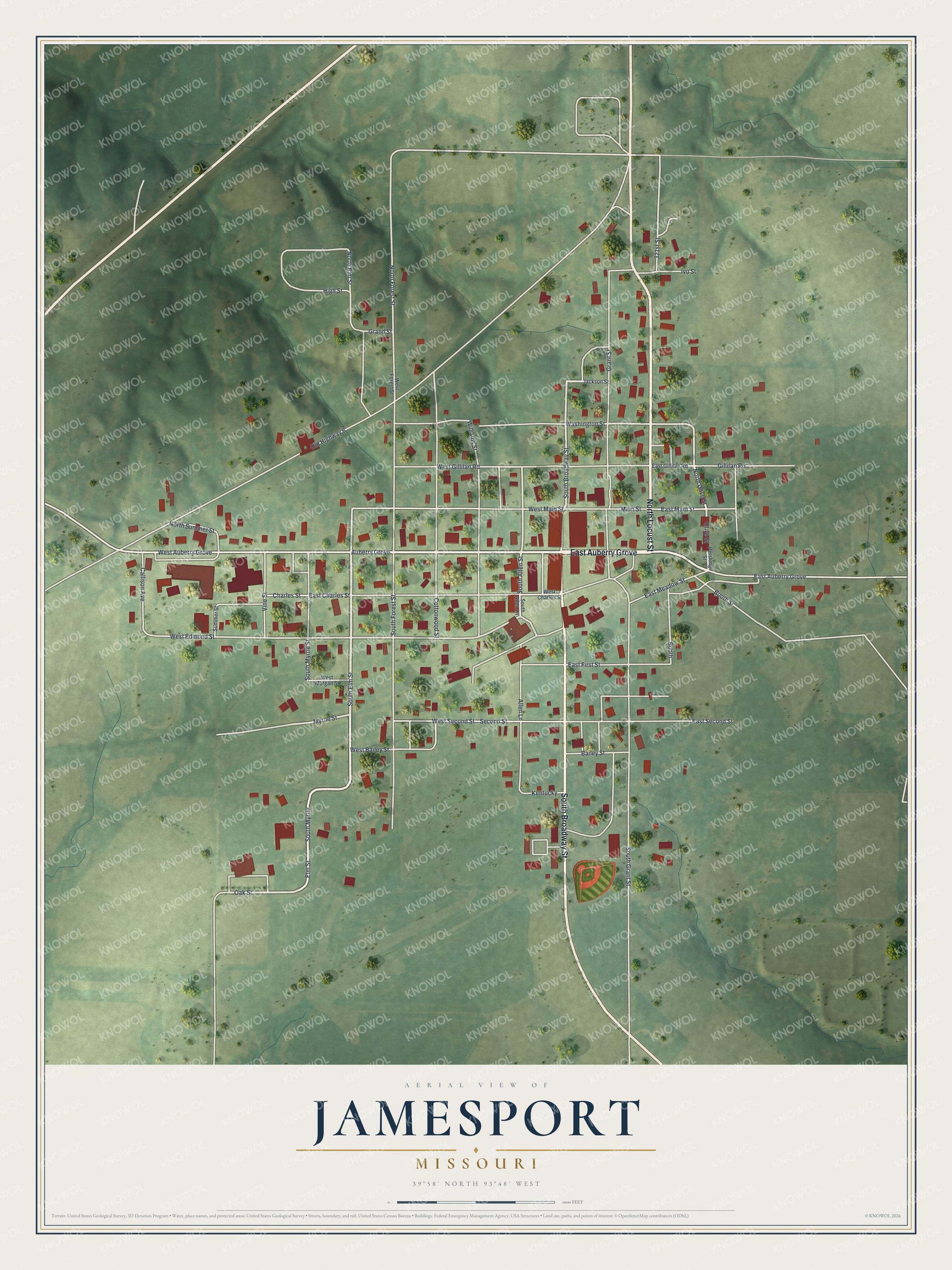
Created by KNOWOL in 2026, this print shows Jamesport's street grid in cream lines on soft green hills, with each building in deep red. Old Highway 6 angles from the left side of town toward the upper right, and a ball diamond sits near South Broadway Street at the bottom of town. The shaded hills come from USGS elevation data. The title panel reads "Aerial View of Jamesport, Missouri" with the coordinates 39°58' North, 93°48' West and a scale bar marked in feet.
It suits a kitchen, a farm office or a den, anywhere someone might stop and find a familiar corner. It's a good gift for someone who grew up along Auberry Grove, moved away for work, or still has family on Main Street. Open the watermarked preview, zoom in and find the block you know. See sizes and frames for the Jamesport map.