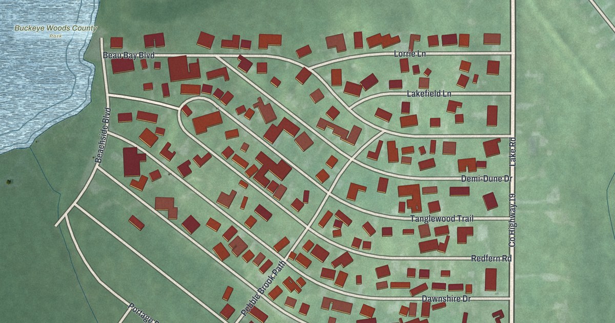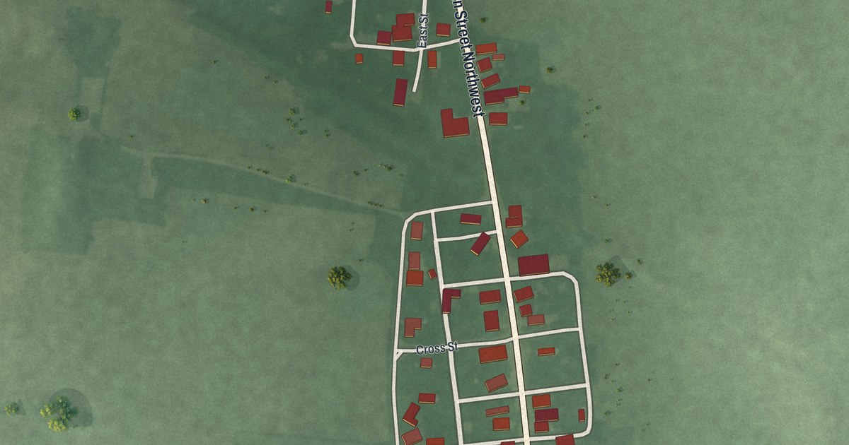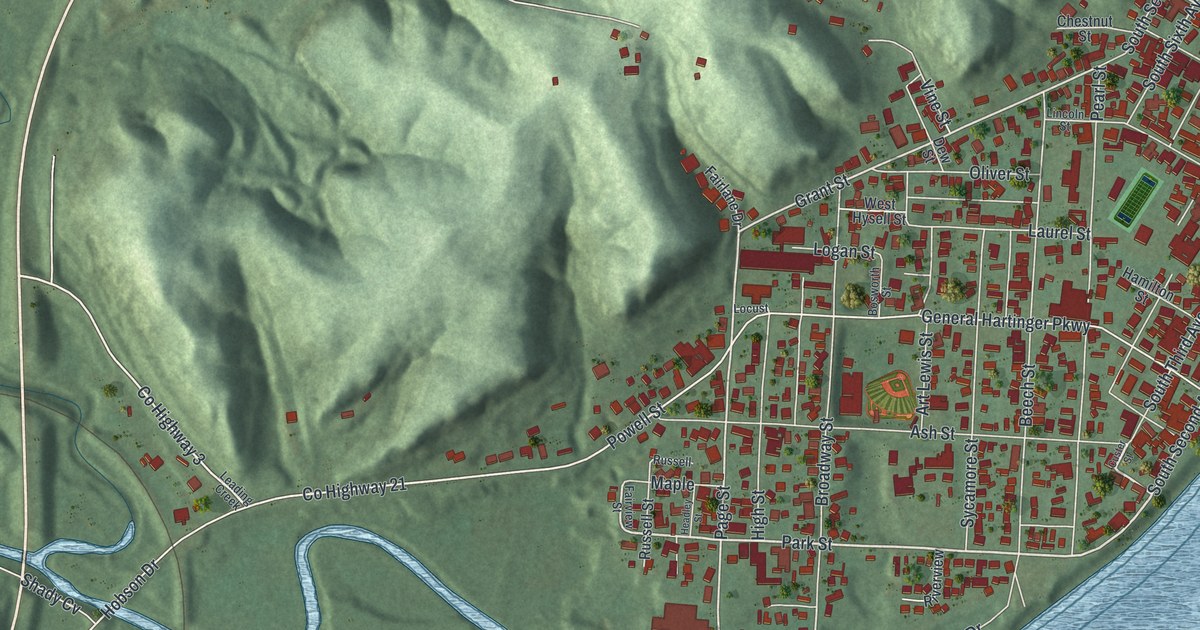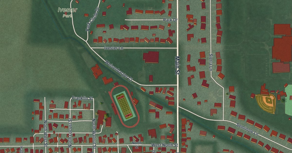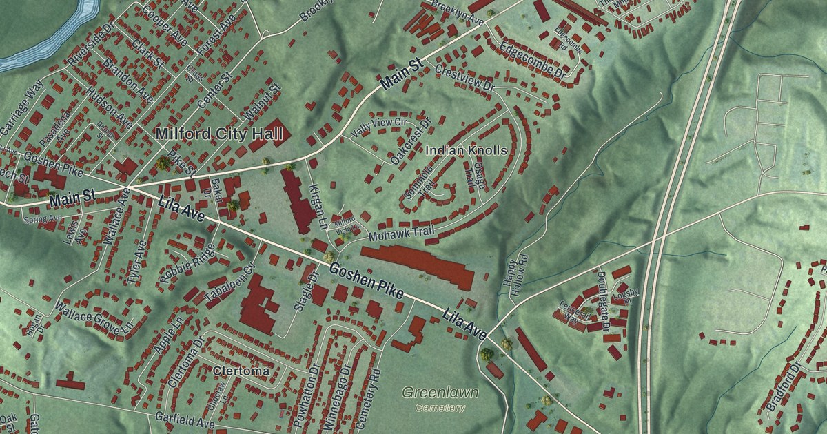
If you grew up on Main Street, know Finley Ray Park, or still have family in Milford, this map was made for you. It's a modern aerial view of Milford in Clermont County, Ohio, built from modern data, with soft greens and shaded hills for a vintage feel. The town sits where two rivers meet, with green hills rising all around. The old streets crowd in near Milford City Hall, and newer homes climb the hills to the east.
Main Street and Milford City Hall
On this map you'll find Main Street, Water Street, Goshen Pike, Lila Avenue, Milford Parkway, Wooster Pike, Mill Street, Center Street, Milford City Hall, Finley Ray Park, Jim Terrell Park, Greenlawn Cemetery, Valley View Nature Preserve, Indian Knolls, Clertoma, and more. Each red shape is a building, so zoom in on the preview and look for yours.
Milford's church story starts before Ohio was even a state. The Methodist church here was founded in 1797, in the log cabin of the Reverend Francis McCormick. It's the oldest Methodist church in Ohio and in the whole Northwest Territory. Early settlers walked many miles through the woods to hear the traveling preachers. The church still stands at 541 Main Street. Its sanctuary was dedicated on Christmas Day, 1835. The bell tower and Sunday School rooms came in 1870. That's all from the Ohio History Connection's marker for the First Methodist Church. On the map, look for Main Street and the rows of red buildings near Milford City Hall.
The Library on Water Street
Milford holds another long record close by. The Milford Public Library started in 1900. It's the oldest library in Clermont County that has never closed. A local group, the Milford Village Improvement Society, went door to door to collect books and members. Adults paid 25 cents a year, and children paid 10 cents. The library's first home, a stone building at 19 Water Street, is still its home today. Look for Water Street near the river on the left side of the map.
From Goshen Pike to Terrace Park Country Club
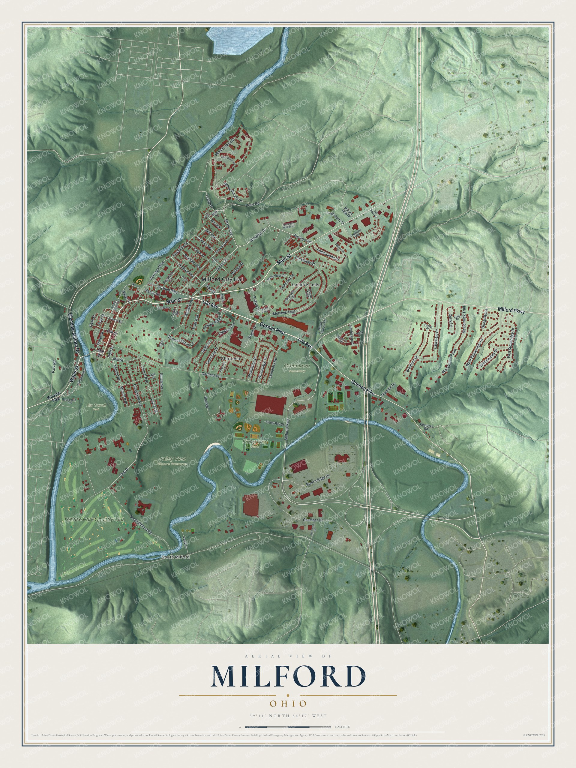
Created by KNOWOL in 2026, this print shows Milford in soft greens with shaded hills, blue rivers and red buildings. The title panel reads "Aerial View of Milford, Ohio" with the coordinates 39°11' North 84°17' West.
It fits a living room, a front hall or a home office. It's a good gift for a longtime member of the old church on Main Street, or for a friend who grew up in Milford and moved away. Open the preview and find your part of town. See sizes and frames for the Milford map.