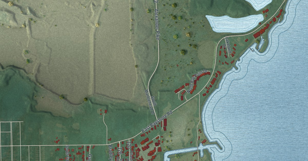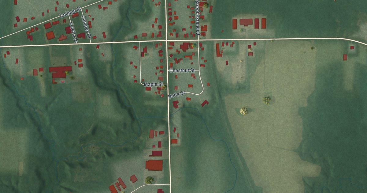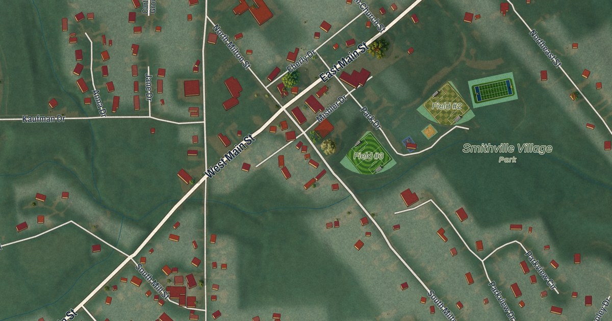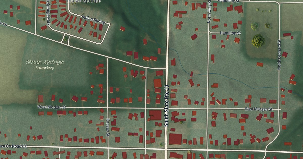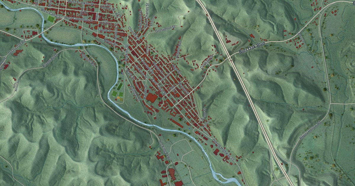
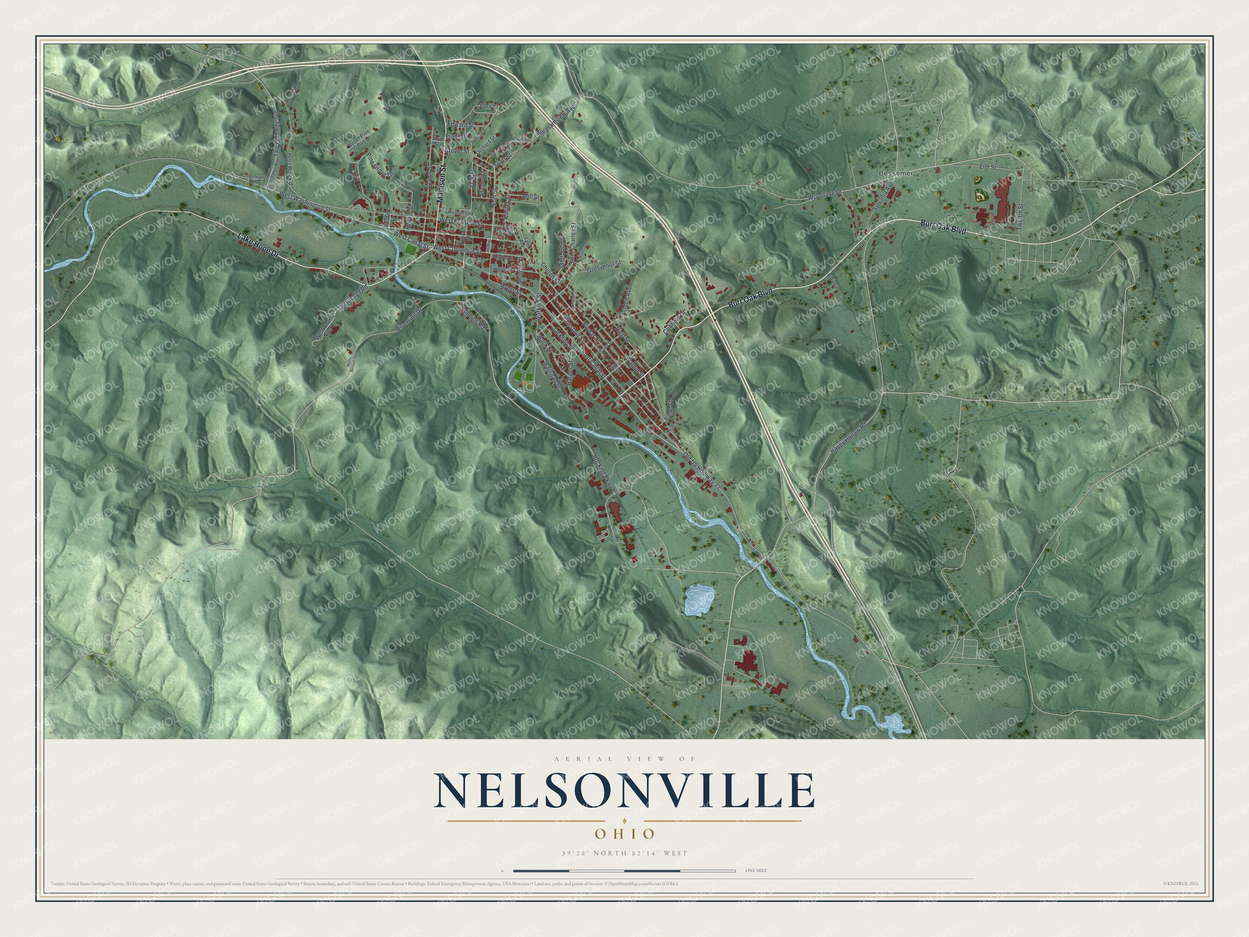
This beautifully detailed map of Nelsonville, Ohio was created in 2026 using aerial imagery combined with modern topographical, census, street and landmark data. It’s a one-of-a-kind view of Nelsonville that combines accurate data with a vintage aesthetic. The map shows every building in its true location, many of the roads carry their names, and the shaded topographic relief shows the shape of the land.
Explore an aerial view of Nelsonville, Ohio
On the map you’ll find Bessemer, along with Burr Oak Boulevard, Lake Hope Drive, Madison Street, West Columbus Street, Woodlane Drive, East Canal Street, Fort Street, West Washington Street, Oak Street, Happy Hollow Road, Mill Street, and more. If you look closely you can even find your house accurately drawn in its correct location. Zoom in on the preview to look for yours.
Did you know this piece of Nelsonville, Ohio history?
In July 1863, Confederate raiders under John Hunt Morgan stopped in Nelsonville and burned ten canal boats. They also set fire to a covered bridge over the Hocking Canal. Townspeople put out that blaze once the raiders left. The saved bridge let Union cavalry keep up the chase two hours later. Residents had a feast ready for them.
Take a closer look at the Nelsonville map
Street and place names on the Nelsonville, Ohio map
These names are printed on the map of Nelsonville, Ohio.
Places: Bessemer.
Streets and roads: Burr Oak Boulevard, Lake Hope Drive, Madison Street, West Columbus Street, Woodlane Drive, East Canal Street, Fort Street, West Washington Street, Oak Street, Happy Hollow Road, Mill Street, Hocking Parkway.
More street names, A to Z
Adams Street, Ashton Avenue, Back Street, Backus Drive, Blair Court, Buckeye Road, Campbell Street, Chestnut Street, Church Street, Clifford Street, Crihfield Drive, Dalton Drive, Diamond Street, District 29 Road, Dorr Run Road, East Columbus Street, East Franklin Street, Edward Street, Elizabeth Street, Elm Street, Fairview Street, Fayette Street, Findlay Street, Frank Street, Frederick Street, Fulton Street, Grosvenor Street, Grover Street, Harper Street, High Street, Jackson Street, John Street, Koker Lane, Konter Street, Lancaster Street, Love Street, Lyle Avenue, Monroe Street, Mound Street, Myers Street, Old US Highway 33, Orchard Street, Pine Grove Drive, Pleasantview Avenue, Poplar Street, Public Square, Railroad Street, Rhine Street, Riverside Drive, Robbins Road, Saint Charles Street, Saint John Street, Scott Street, Second Street, Siene Street, Sylvania Avenue, Third Street, Twelfth Street, Twp Highway 346, Upper Pine Grove Drive, Walnut Street, Watkins Street, Wend Road, West Canal Street, West Franklin Street, West Interchange Road, West Twenty Nine Drive, Wolfe Bennett Road.
See the Nelsonville, Ohio map on a wall
The Nelsonville map as an 18 x 24 inch print in a black frame.

This beautifully detailed map of Nelsonville makes an attractive addition to your office, library, or den, and it can even be used to teach children the geography and history of the area. It also makes a great gift for anyone with Nelsonville roots. When you’re done exploring, click here to get your copy of the Nelsonville map.