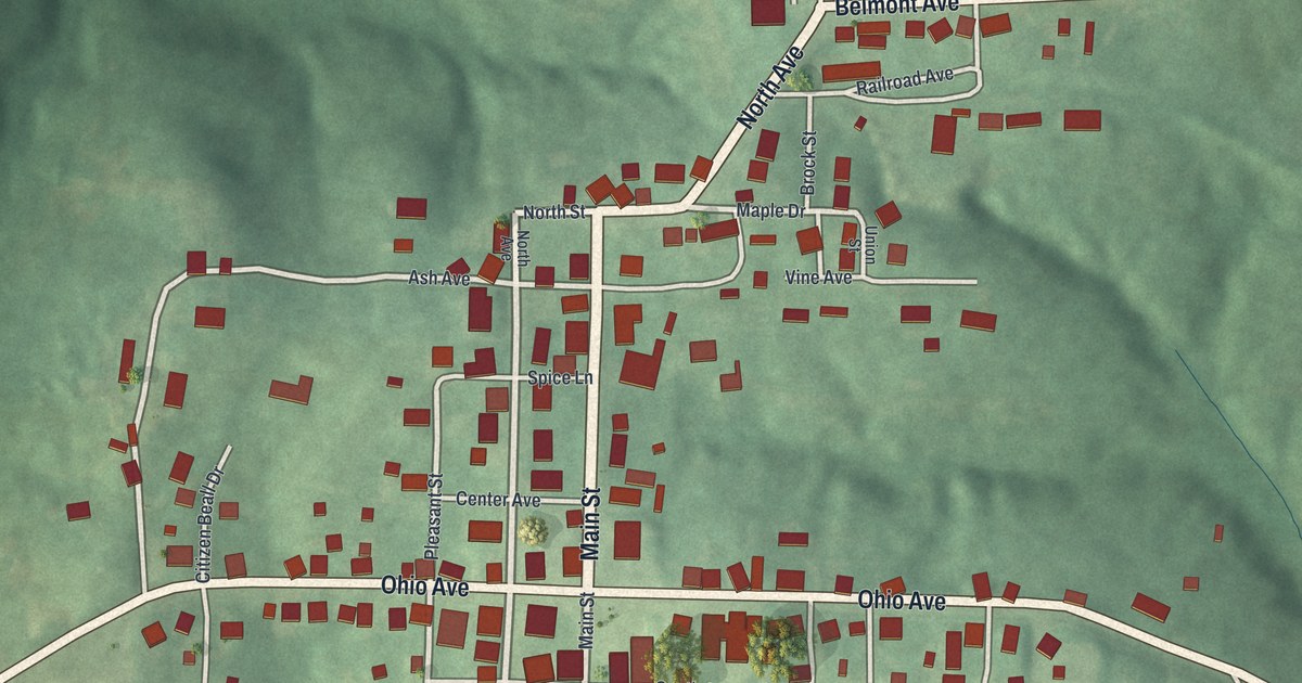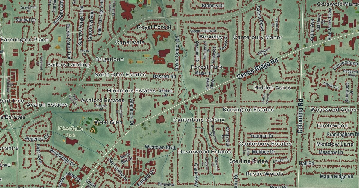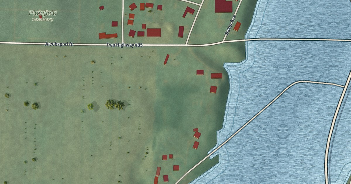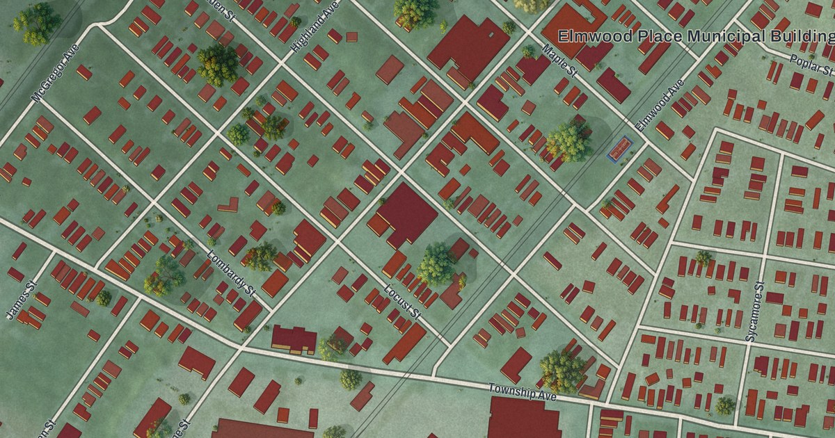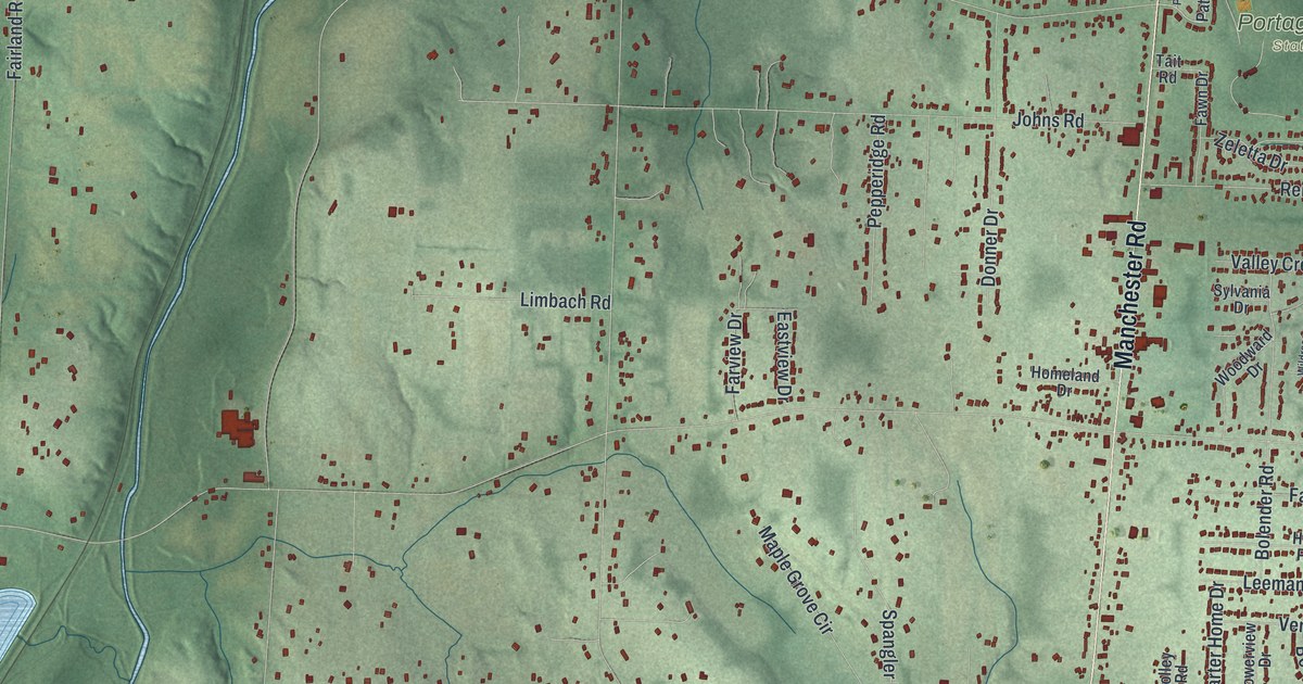
If you grew up off Manchester Road or spent summer days at Portage Lakes State Park, this map is for you. It's a modern aerial view of New Franklin in Summit County, Ohio, made from modern data and given a vintage feel. Blue lakes spread along the right edge. A green valley with a thin winding stream runs down the left side. Small red shapes mark the homes and buildings in between.
From Manchester Road to Portage Lakes State Park
On this map you'll find Manchester Road, West Turkeyfoot Lake Road, Portage Lakes State Park, Manchester, Center Road, West Nimisila Road, Van Buren Road, Vanderhoof Road, South Cleveland Massillon Road, Kepler Road, Mount Pleasant Road, Grill Road, Latham Lane, and more. Each red shape is a building, so zoom in on the preview and look for yours.
The Zimmerly House on Manchester Road
The Zimmerly House stands at 4332 Manchester Road. It was added to the National Register of Historic Places in 2018. The listed land is 2.29 acres. It holds the house and its carriage house. The rest of the parcel, about ten acres, is a field to the north. On the map, look along Manchester Road north of the Portage Lakes State Park label. The Frank Mason Raymond House at 655 Latham Lane was added to the National Register in 1995.
Swiss newcomers in Summit County
The National Register nomination for the Zimmerly House also gives background on Swiss immigration. Between 1881 and 1890, over 81,000 Swiss immigrants came to the United States. Up until 1880, Ohio had more Swiss people than any other state, over 12,000 of them. By 1890, New York and California had passed it. That year, Summit County counted 275 Swiss immigrants. Those are the figures the nomination gives for Swiss settlers in Ohio.
Manchester Road and the Portage Lakes on your wall

Created by KNOWOL in 2026, this print shows New Franklin in soft greens, with shaded hills, blue lakes and small red buildings. The title panel reads "Aerial View of New Franklin, Ohio" with the coordinates 40°57' North 81°35' West.
It fits a living room, a hallway or a lake cottage. It's a good gift for someone who grew up near Portage Lakes State Park or who moved away from Manchester Road. Open the preview and find your street. See sizes and frames for the New Franklin map.