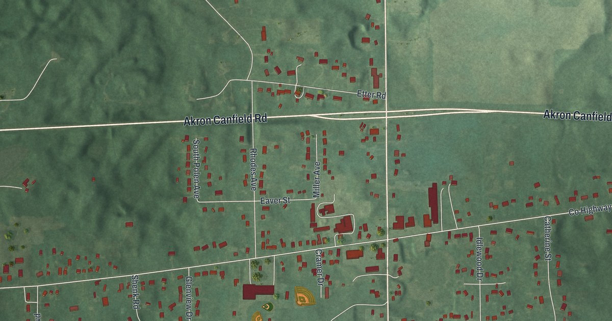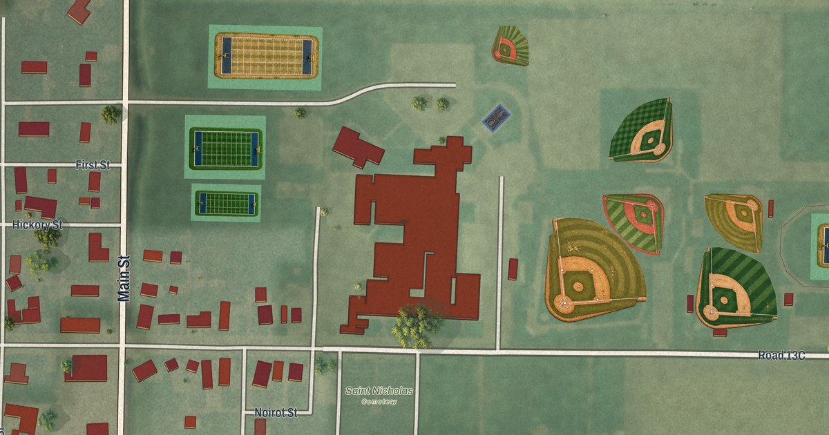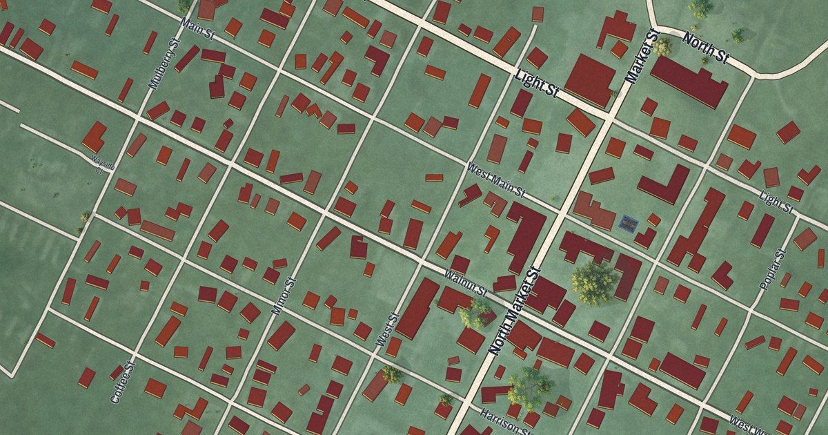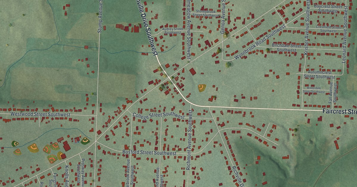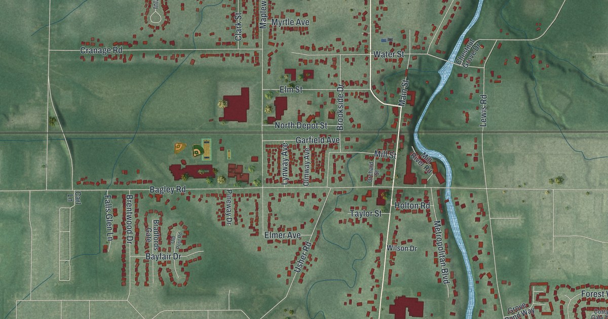
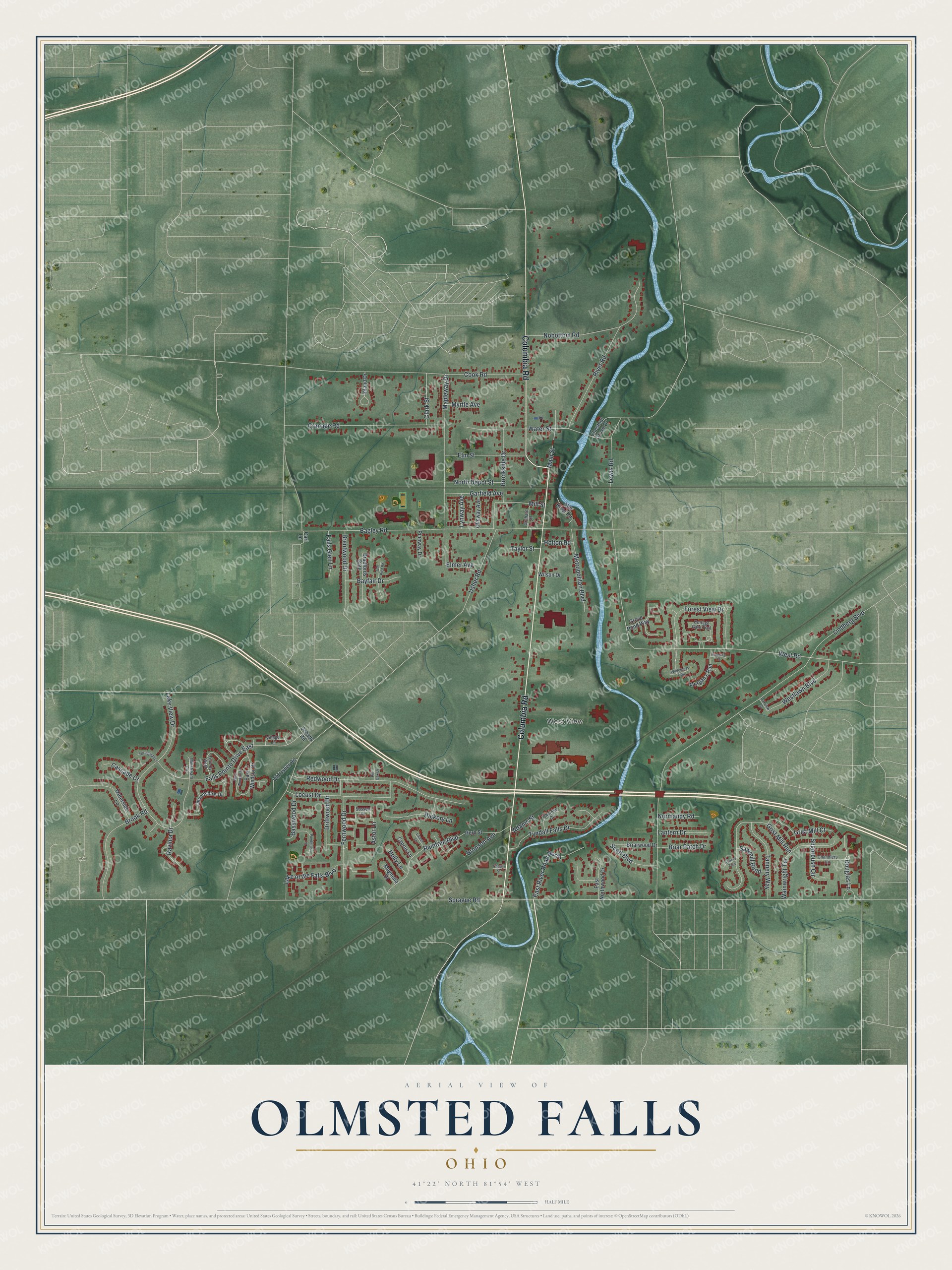
This beautifully detailed map of Olmsted Falls, Ohio was created in 2026 using aerial imagery combined with modern topographical, census, street and landmark data. It’s a one-of-a-kind view of Olmsted Falls that combines accurate data with a vintage aesthetic. The map shows every building in its true location, many of the roads carry their names, and the shaded topographic relief shows the shape of the land.
Explore an aerial view of Olmsted Falls, Ohio
On the map you’ll find West View, along with Columbia Road, Douglas Lane, Sprague Road, Lindberg Boulevard, Bagley Road, Lewis Road, West Road, Lake View Drive, Cook Road, Mapleway Drive, Forest View Drive, and more. If you look closely you can even find your house accurately drawn in its correct location. Zoom in on the preview to look for yours.
Did you know this piece of Olmsted Falls, Ohio history?
The township here was named to honor Aaron Olmsted, an East Hartford, Connecticut, sea captain. His son, Charles Hyde Olmsted, was so pleased that he sent about 500 books by oxcart. They became known as the Oxcart Library. Olmsted Falls became a village in 1856, formed from part of the township.
Take a closer look at the Olmsted Falls map
Street and place names on the Olmsted Falls, Ohio map
These names are printed on the map of Olmsted Falls, Ohio.
Places: West View.
Streets and roads: Columbia Road, Douglas Lane, Sprague Road, Lindberg Boulevard, Bagley Road, Lewis Road, West Road, Lake View Drive, Cook Road, Mapleway Drive, Forest View Drive, Redwood Drive.
More street names, A to Z
Adams Street, Astor Lane, Basswood Drive, Bayfair Drive, Bradfords Gate, Brentwood Drive, Briar Patch Drive, Briarwood Drive, Bronson Avenue, Brook Road, Brookside Drive, Carl Lane, Cascade Court, Chandlers Lane, Chapin Street, Charney Circle, Chestnut Grove Drive, Clark Street, Cooper Turn, Cottage Gate Trail, Cranage Road, Cyprus Lane, Devonshire Drive, Driftwood Drive, East Northwood Drive, East River Road North, East Windsor Drive, Elmer Avenue, Elm Street, Falls Glen Lane, Falls Pointe Drive East, Fern Cv West, Fernwood Drive, Garfield Avenue, Grist Mill Court, Grist Mill Run, Grove Pond Way, Herb Street, Hickory Lane, Holly Lane, Holton Road, Inland Drive, Lake of the Falls Boulevard, Lantern Drive, Laurel Lane, Locust Drive, Lynway Avenue, Magnolia Drive, Main Street, Metropolitan Boulevard, Mill River Road, Millstream Circle, Mill Street, Morgan's Run, Myrtle Avenue, Nobottom Road, Normandy Road, North Depot Street, Oakview Street, Old Post Road, Old Usher Road, Olmway Avenue, Orchard Street, Pineway Drive, Pin Oak Drive, Ponderosa Lane, Raintree Boulevard, Ravinia Drive, River Road, Robert's Court, Sawmill Bend, Schady Road, Scott Boulevard, Springside Lane, Sugarbush Circle, Sussex Drive, Tannery Way, Taylor Street, Tyndall Falls Drive, Usher Road, Village Lane, Wainwright Terrace, Waterside Lane, Water Street, Westlawn Boulevard, West Windsor Drive, Wilderness Trail, Wilson Drive.
See the Olmsted Falls, Ohio map on a wall
The Olmsted Falls map as an 18 x 24 inch print in a black frame.

This beautifully detailed map of Olmsted Falls makes an attractive addition to your office, library, or den, and it can even be used to teach children the geography and history of the area. It also makes a great gift for anyone with Olmsted Falls roots. When you’re done exploring, click here to get your copy of the Olmsted Falls map.