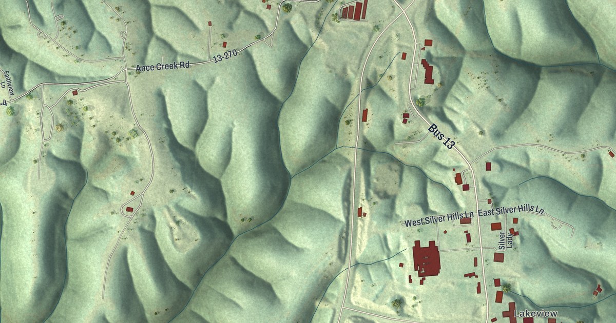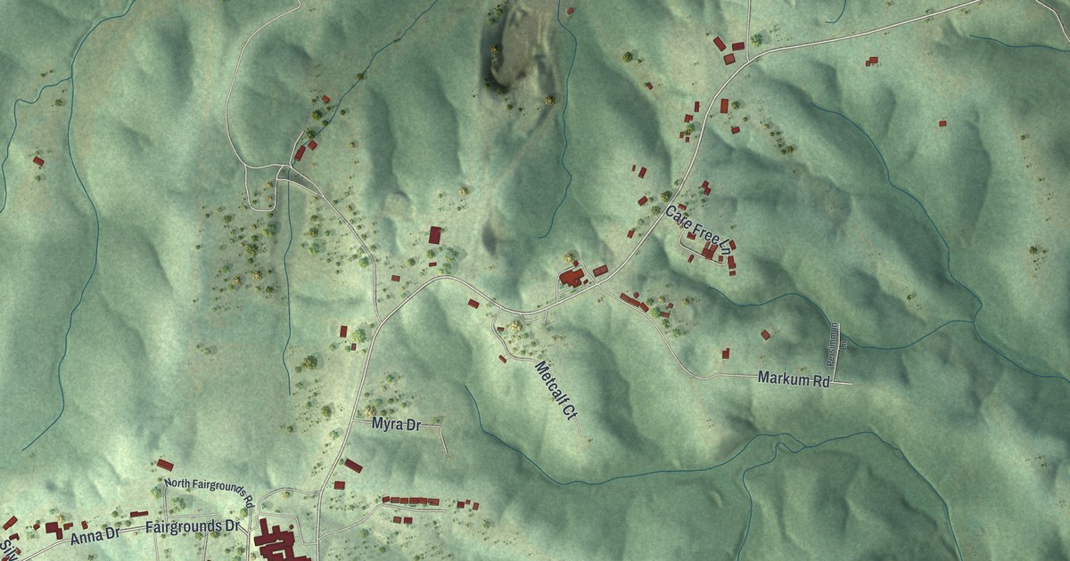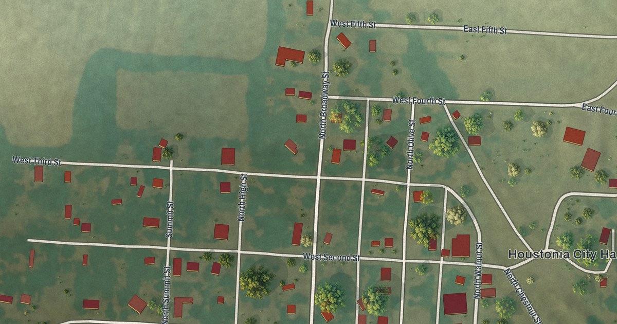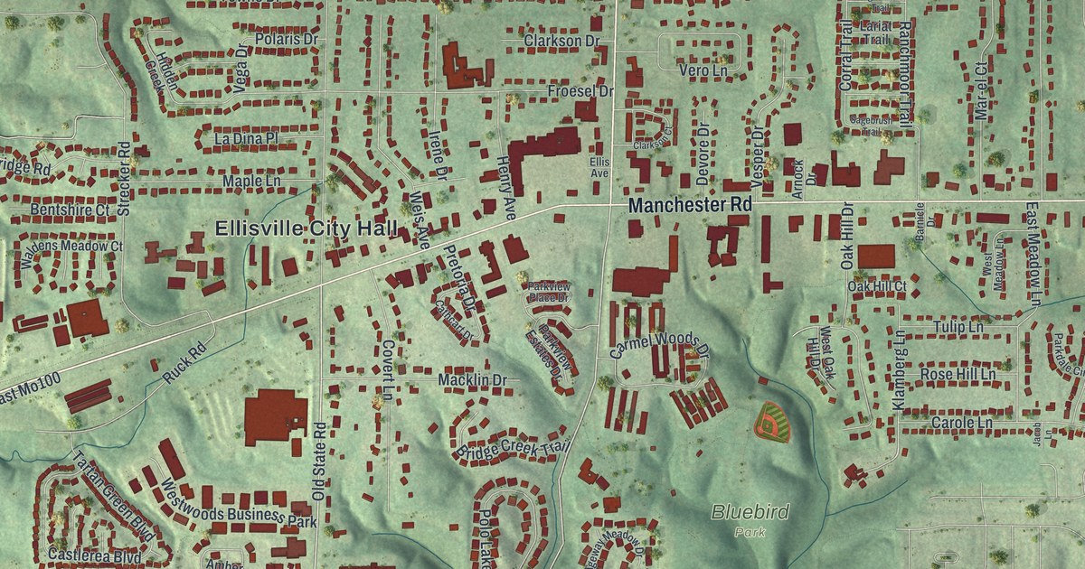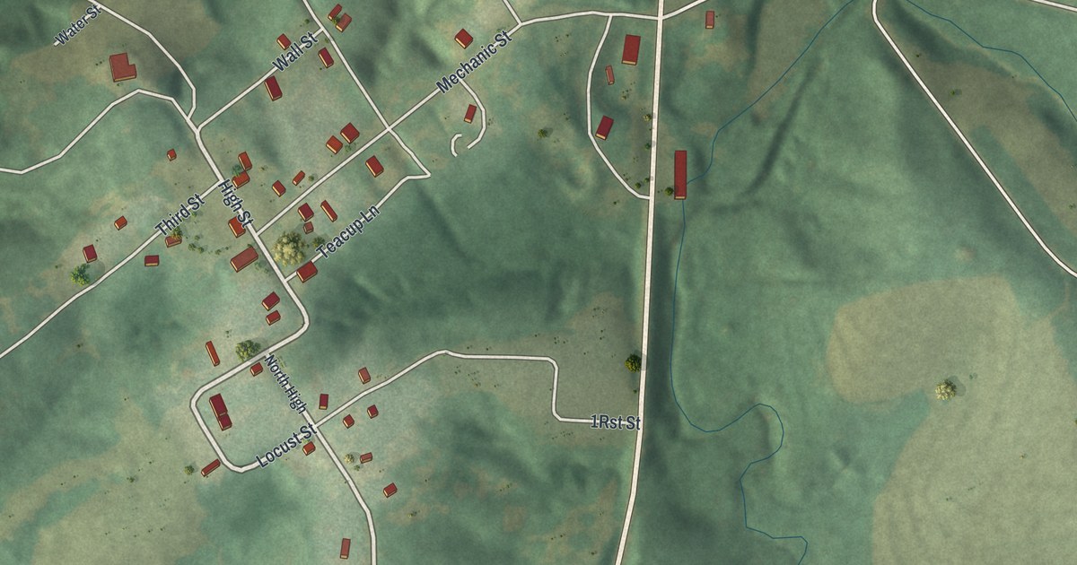
If you grew up in Miami, or your family still has a place off Main Street, this map was made with you in mind. It's a new aerial view of Miami in Saline County, Missouri, built from modern data and given a vintage look. A wide blue river curves across the top of the sheet, and a road crosses it. Just south of the water, the town's small streets sit on green, shaded hills. Farther down, fields and wooded draws run all the way to the bottom edge.
Main Street, Mechanic Street and the Rest of Miami
On this map you'll find Main Street, Commerce Street, Mechanic Street, Miami Street, High Street, South High Street, Locust Street, Wall Street, Water Street, Third Street, Teacup Lane, Frock Lane, Huron Trail, and more. Each red shape is a building, so zoom in on the preview and look for yours.
Jesse Ferrill's Rain Records, Starting in 1847
Miami is one of the oldest towns in the county. The 1881 History of Saline County says it has "a most interesting history." One small part of that story is about rain. Starting in 1847, a Miami man named Jesse J. Ferrill wrote down how much rain fell each year. He kept it up for more than thirty years. The book printed his numbers in a long table. Some years brought under 30 inches. Others brought more than 45.
Miami's Bluffs Above the Missouri River
The same book talks about the land around the town. It says rock shows in the bluffs of the Missouri at Miami. Just above the town, a range of high bluffs called the Pinnacles rises straight up from the river. To the south, they drop off into what the writer called one of the "loveliest and most fertile prairies that ever charmed the eye of man." On the map, the hills south of the river show in soft shadow.
A Map of Miami and Its River Hills
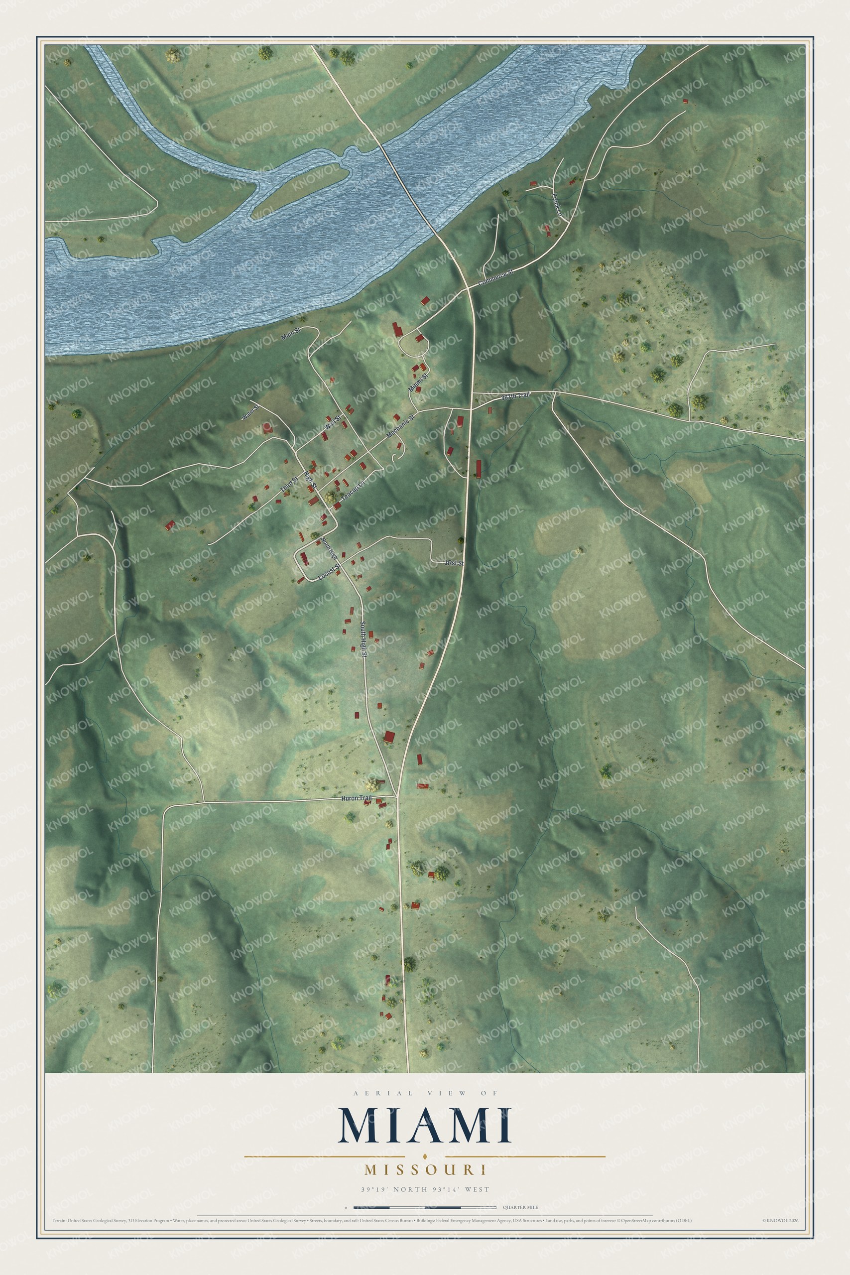
Created by KNOWOL in 2026, this print shows Miami in soft greens with shaded hills, a blue river and small red buildings. The title panel reads "Aerial View of Miami, Missouri" with 39°19' North 93°14' West below it.
It fits a living room, a hallway or a home office. It's a kind gift for someone who grew up near Main Street and moved away, or for a family with deep roots in Saline County. Open the preview and find the streets you know. See sizes and frames for the Miami map.