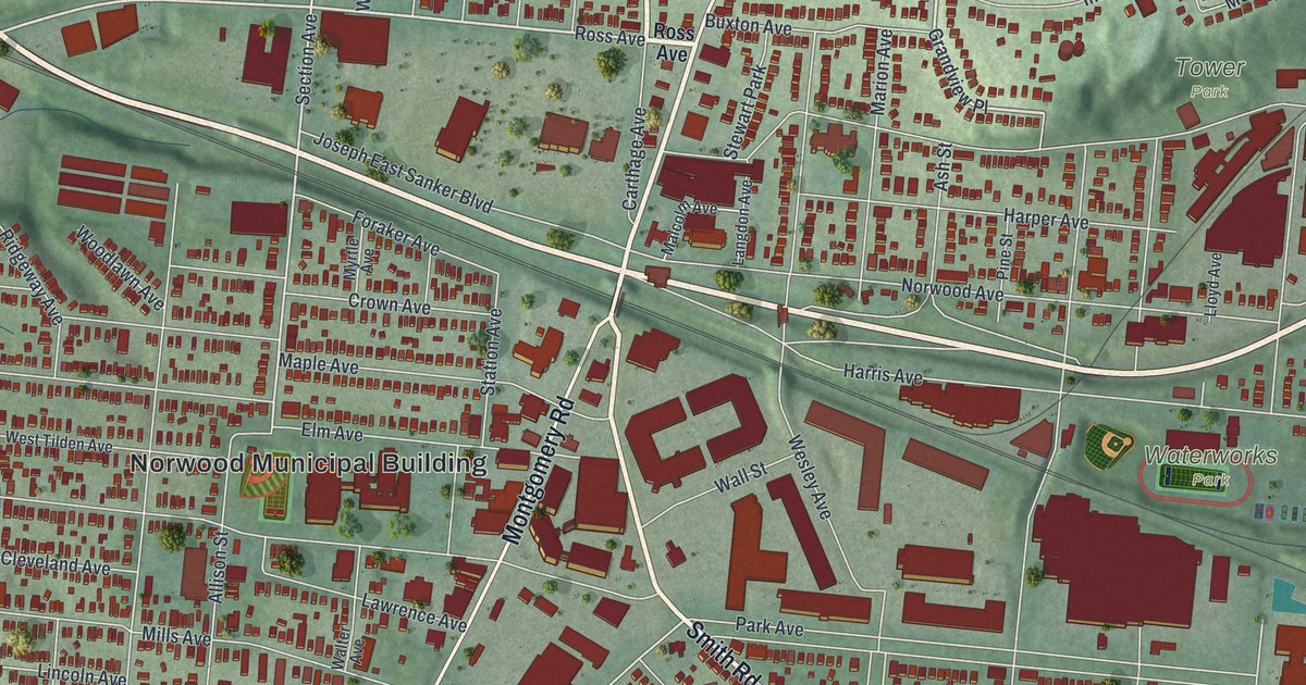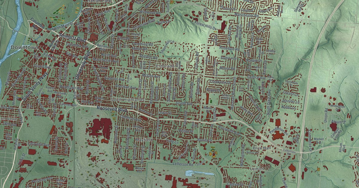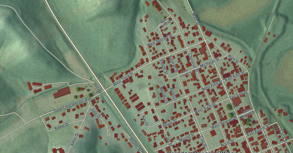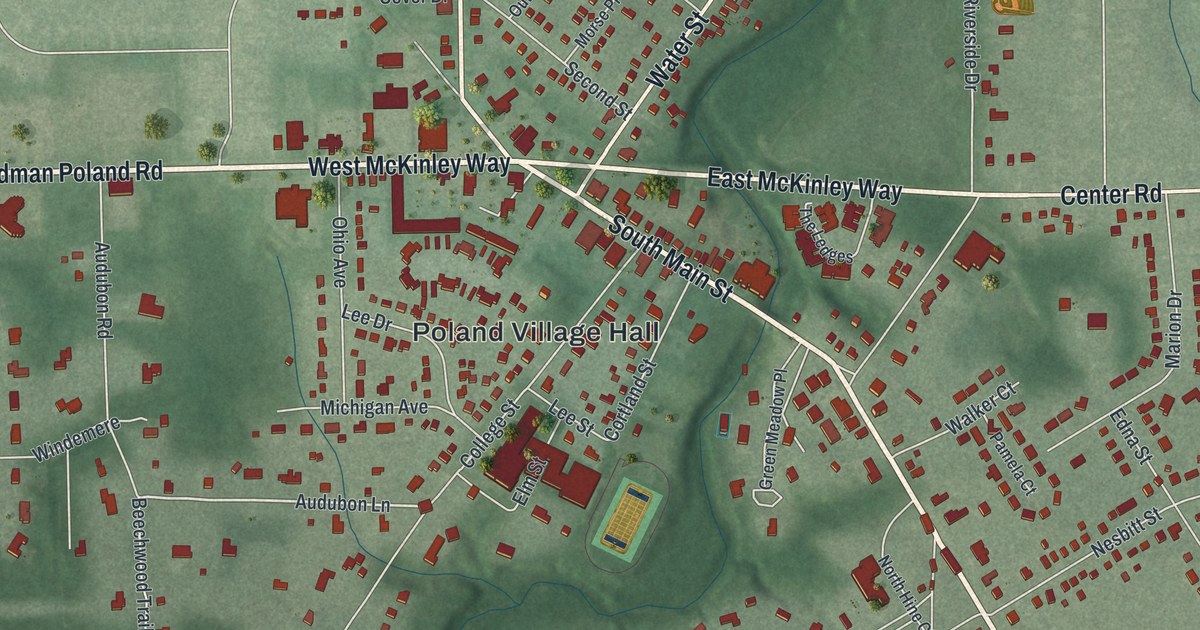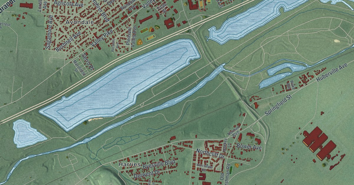
If you grew up in Page Manor, Beverly Gardens or Avondale, or you grew up near Wright Field, this map puts all of Riverside in one frame. It's an aerial view of Riverside in Montgomery County, Ohio, made from modern data and given a vintage look. Green hills rise and fall across the sheet. A wide blue river curves down the left side, and long lakes sit in the low ground below it. Thousands of small red buildings fill the neighborhoods from Hooks Corner down to Clement.
Riverside streets from Brandt Pike to Page Manor
On this map you'll find Brandt Pike, Old Troy Pike, Springfield Street, Harshman Road, Woodman Drive, Airway Road, Burkhardt Road, Linden Avenue, Spinning Road, Needmore Road, Wright Brothers Parkway, Avondale, Beverly Gardens, Page Manor, Hooks Corner, and more. Each red shape is a building, so zoom in on the preview and look for yours.
Wright Field on Springfield Street
Wright Field has a marker right here in Riverside. It was named for Wilbur and Orville Wright of Dayton, who invented the airplane in 1903. Wright Field was dedicated on October 12, 1927. That was after McCook Field, near downtown Dayton, closed its gates. Since then it has been a center of aeronautical research and development. The field wrote its creed on December 17, 1942, and it honors the Wrights for their patience and firm determination. The Wright Field marker on Remarkable Ohio tells this story. The marker stands on Springfield Street, across from a gate to the base. On the map, look for Springfield Street and the wide open green land near it.
The Kemp Homestead on Burkhardt Road
Riverside's roots go back much further. Lewis and Elizabeth Kemp came from Frederick County, Maryland, around 1806. They brought their eight children. They built the stone part of their house soon after, and the brick part is believed to have been added around 1832. Lewis gave land for the Kemp School, started in 1815. He also gave land for a graveyard, and the family hosted church services. The Kemp Homestead marker tells their story. The marker is at 4821 Burkhardt Road, near Meyer Avenue, and both roads are printed on the map.
A Riverside map for Page Manor, Avondale and beyond
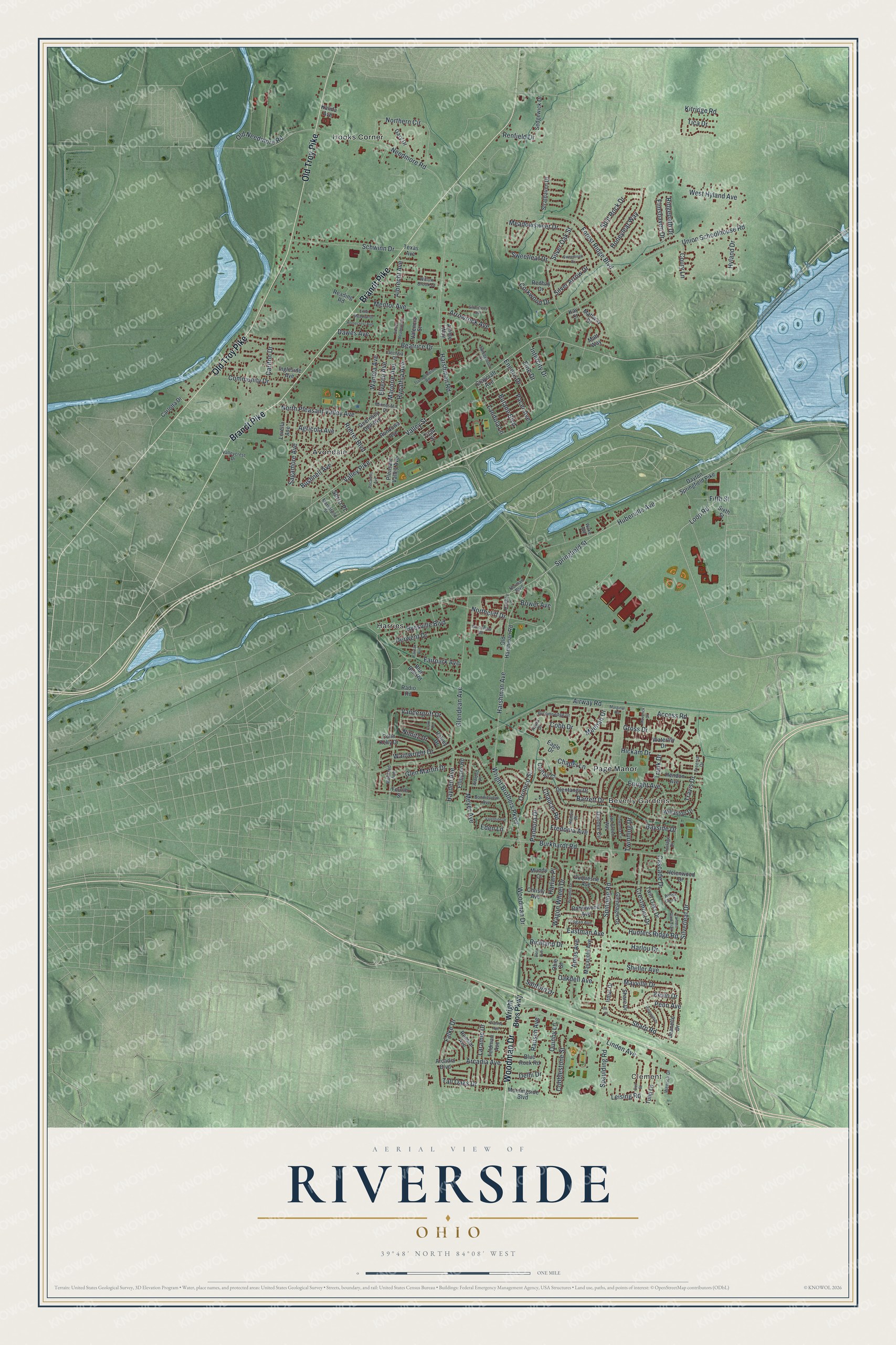
Created by KNOWOL in 2026, this print shows Riverside as green shaded hills with a blue river, blue lakes and red buildings. A cream panel at the bottom reads "Aerial View of Riverside, Ohio" with the line 39°48' North 84°08' West.
It fits a living room, a hallway or a home office. It's a good gift for someone who grew up near Brandt Pike, or for a family that lived close to Wright Field. Open the preview and find your street. See sizes and frames for the Riverside map.